En
Log in
All resources
Create a design
Tools
16,754 Free Images of Language
bibliothèque nationale de france
letter
english language
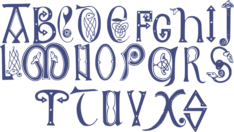
alphabet
history
historical
ornament
wine
swirls
calligraphy
maps of agnano and grotta del cane by braun & hogenberg
context files from gallica
pierre moullart-sanson
guillaume sanson
bibliothèque nationale de france
braun/hogenberg dreizehn orte
maps of bologna by braun & hogenberg
bibliothèque nationale de france
1629 in wesel
baroque
bibliothèque nationale de france
johannes de ram
maps of lake geneva by jacques goulart
bibliothèque nationale de france
maps of provence by pierre-jean de bompar
bibliothèque nationale de france
maps of exeter by braun & hogenberg
bibliothèque nationale de france
maps of mannersdorf by braun & hogenberg
maps of eisenstadt by braun & hogenberg
chorographia britanniae (1741-1742)
bibliothèque nationale de france
maps of the islands of greece by marco boschini (1658)
old maps of serifos
maps of brielle by braun & hogenberg
brielle in the 16th century
maps of île-de-france by françois de la guillotière
bibliothèque nationale de france
maps of lake geneva by jacques goulart
bibliothèque nationale de france
maps of bergen op zoom by braun & hogenberg
bibliothèque nationale de france
1580s maps of the americas
frans hogenberg
bibliothèque nationale de france
guillaume sanson
maps of amsterdam by braun & hogenberg
bibliothèque nationale de france
serenissimae reipublicae genuensis ducatus et dominii nova descriptio - gio. bat.ta vrints - btv1b53042587g
bibliothèque nationale de france
maps of innsbruck by braun & hogenberg
innsbruck in the 17th century
maps by pieter van der keere
old maps of north brabant
maps of besançon by braun & hogenberg
bibliothèque nationale de france
atlas minor gerardi mercatoris (1621, maps)
maps of liège by baptista van doetecum
maps by hendrik hondius the younger
maps of the county of mansfeld
bibliothèque nationale de france
braun/hogenberg dreizehn orte
maps of chester by braun & hogenberg
bibliothèque nationale de france
maps of nevers by braun & hogenberg
maps of autun by braun & hogenberg
claes jansz. visscher (ii)
maps of amsterdam
maps of tønder by braun & hogenberg
maps of eutin by braun & hogenberg
1780s maps of the world
german renaissance
regnorum hispaniae nova descriptio (blaeu)
bibliothèque nationale de france
maps of london by braun & hogenberg
bibliothèque nationale de france
maps of eckernförde by braun & hogenberg
bibliothèque nationale de france
old maps of utrecht (city)
baroque
maps of paris by braun & hogenberg
bibliothèque nationale de france
1777 maps of south america
maps by thomas kitchin
maps of agnano and grotta del cane by braun & hogenberg
context files from gallica
maps of werden by braun & hogenberg
maps of essen by braun & hogenberg
maps from gallica
guides joanne
map of ancient asia minor by philippe de la rué
bibliothèque nationale de france
pierre moullart-sanson
guillaume sanson
maps of innsbruck by braun & hogenberg
bibliothèque nationale de france
territorium argentoratense (1652 map)
context files from gallica
bibliothèque nationale de france
braun/hogenberg dreizehn orte
situs terrae promissionis by christian van adrichom
bibliothèque nationale de france
maps by pieter van der keere
17th-century maps of silesia
maps of cadiz by braun & hogenberg
bibliothèque nationale de france
chorographia britanniae (1741-1742)
bibliothèque nationale de france
maps of île-de-france by françois de la guillotière
bibliothèque nationale de france
maps of windsor by braun & hogenberg
maps of oxford by braun & hogenberg
maps of limburg by aegidius martini
bibliothèque nationale de france
maps of china by mercator-hondius
bibliothèque nationale de france
maps of london by braun & hogenberg
bibliothèque nationale de france
bibliothèque nationale de france
guillaume sanson
maps of hamburg by braun & hogenberg
maps of lübeck by braun & hogenberg
maps of ancient italy by philipp clüver
bibliothèque nationale de france
maps of famagusta by braun & hogenberg
bibliothèque nationale de france
maps by pieter van der keere
maps by abraham ortelius
atlas van der hagen (volume 4)
atlas van der hagen
pages of books about mathematics
books about geometry
bethlem royal hospital
realism
journal of the straits branch of the royal asiatic society (1885)
arend ludolf van hasselt
maps with azimuthal equidistant projection
french-language maps of antarctica
prints (print room), leiden university library
dirk eversen lons
illustrations by warwick goble
nala-damayanti
vigo in the 18th century
1702 maps of spain
map of the circle of the rhineland by sanson
1700s maps of rhineland-palatinate
1750s maps of central america
maps by tomas lopez
1760s maps of the iberian peninsula
1762 maps of spain
landais & oberthur
maps from gallica
alphabet
abc
ornament
wine
finger
hands
ornament
wine
speech bubble
sound
eran laor cartographic collection
cornelis de bruyn
world war i war bond posters of austria-hungary
world war i posters in the library of congress
world war i posters in the library of congress
art collections in germany
historical
history
historical
history
historical
history
historical
history
historical
history
historical
history
historical
history
hippie
peace
iceland
maps
fantasy
celtic
ribbon
blue
ribbon
blue
typography
music
ornament
wine
ornament
wine
ornament
wine
italy
flag
ornament
wine
military
army
military
ocean
maps by pieter van der keere
maps by abraham ortelius
12901 - 13000 of 16,754
Next page
/ 168