En
Log in
All resources
Create a design
Tools
38,646 Free Artworks of Map
maps in the library of congress
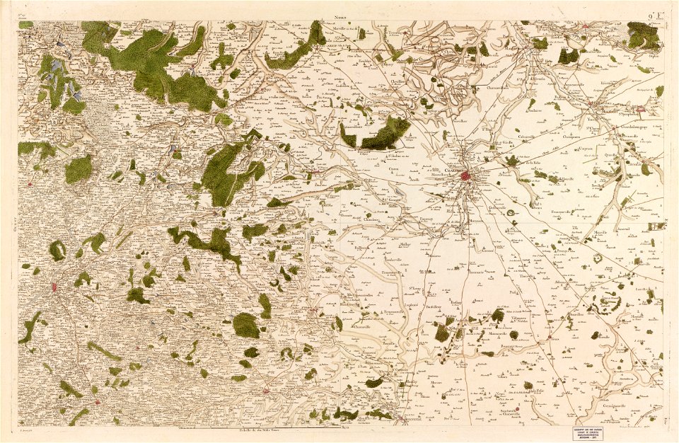
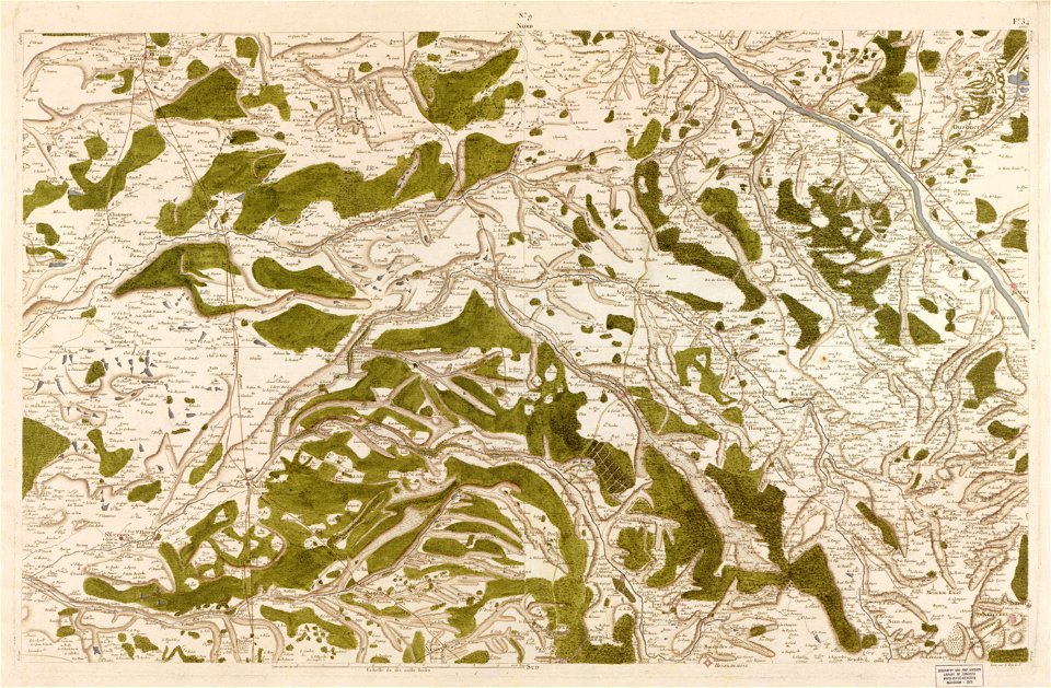
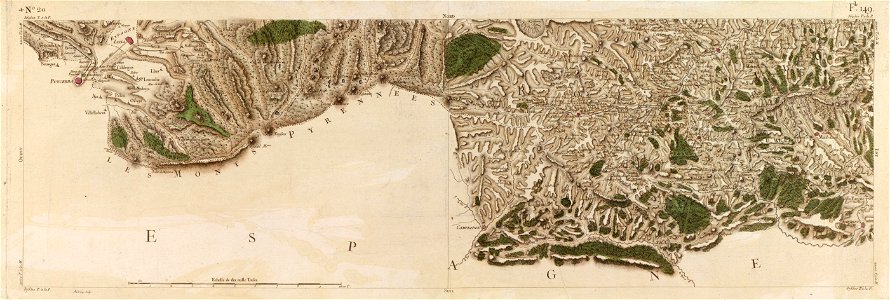
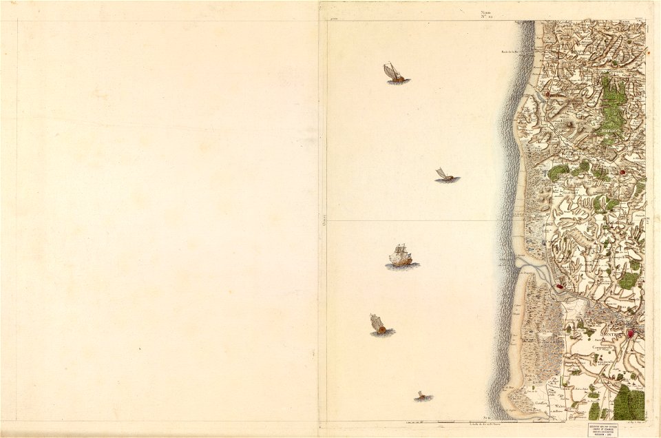
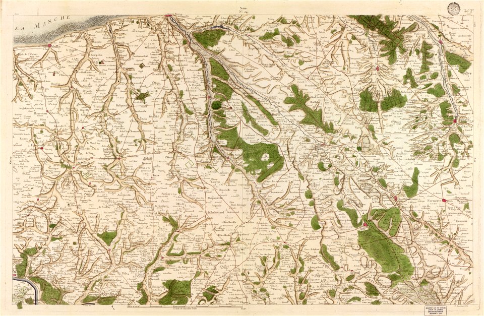
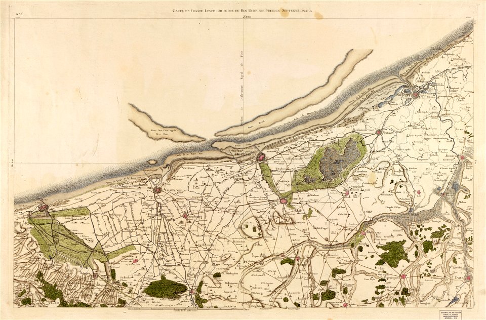
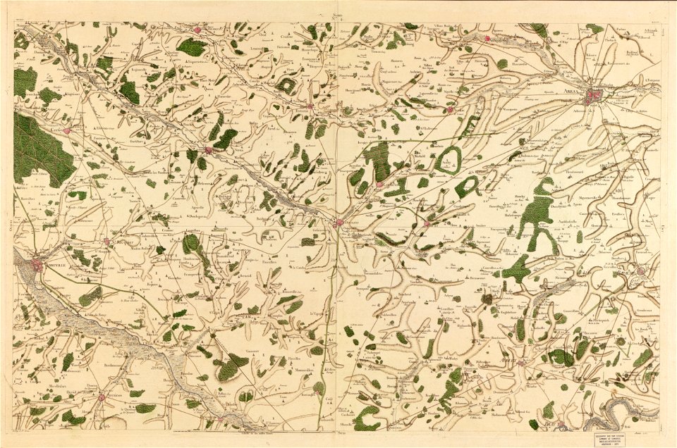
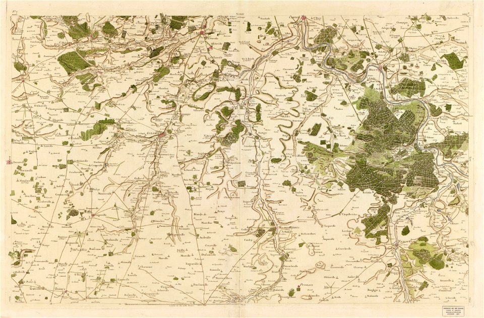
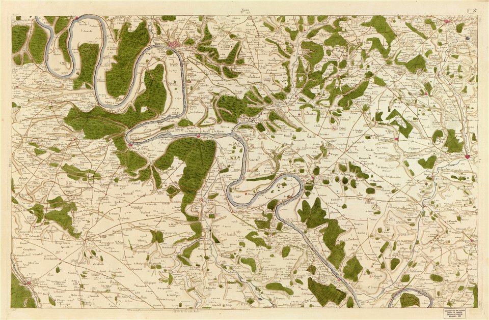
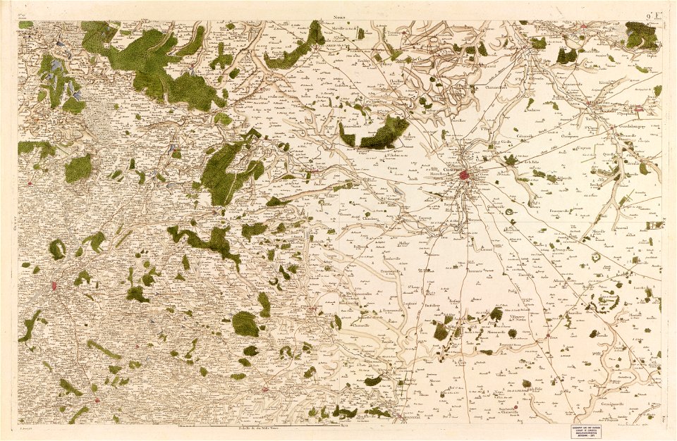
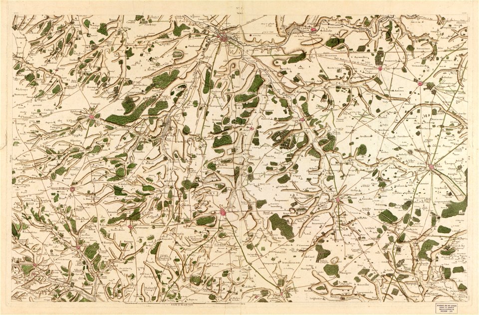
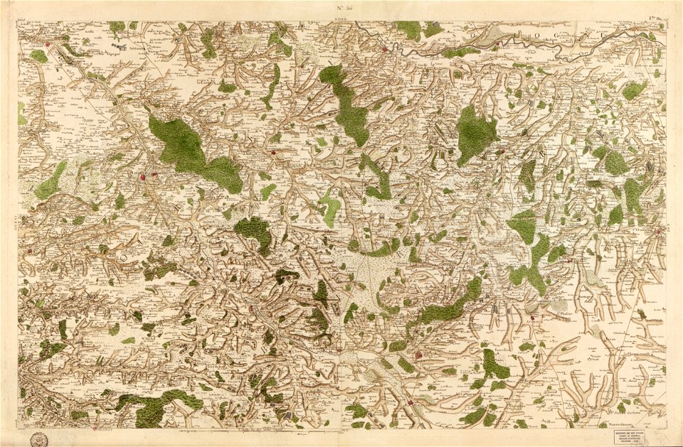
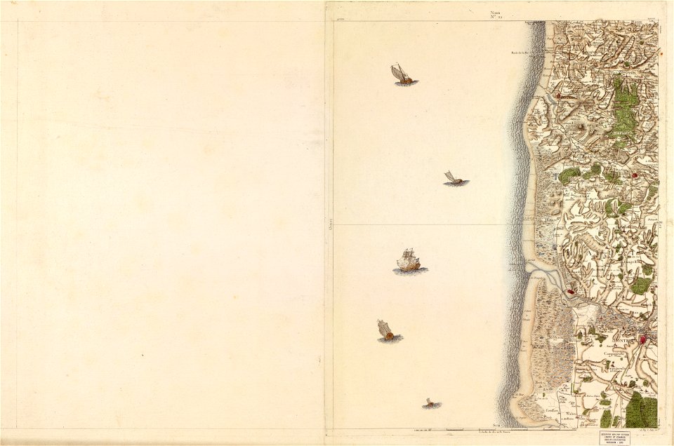
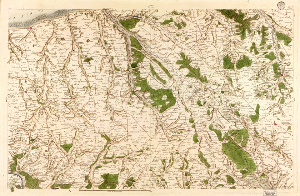
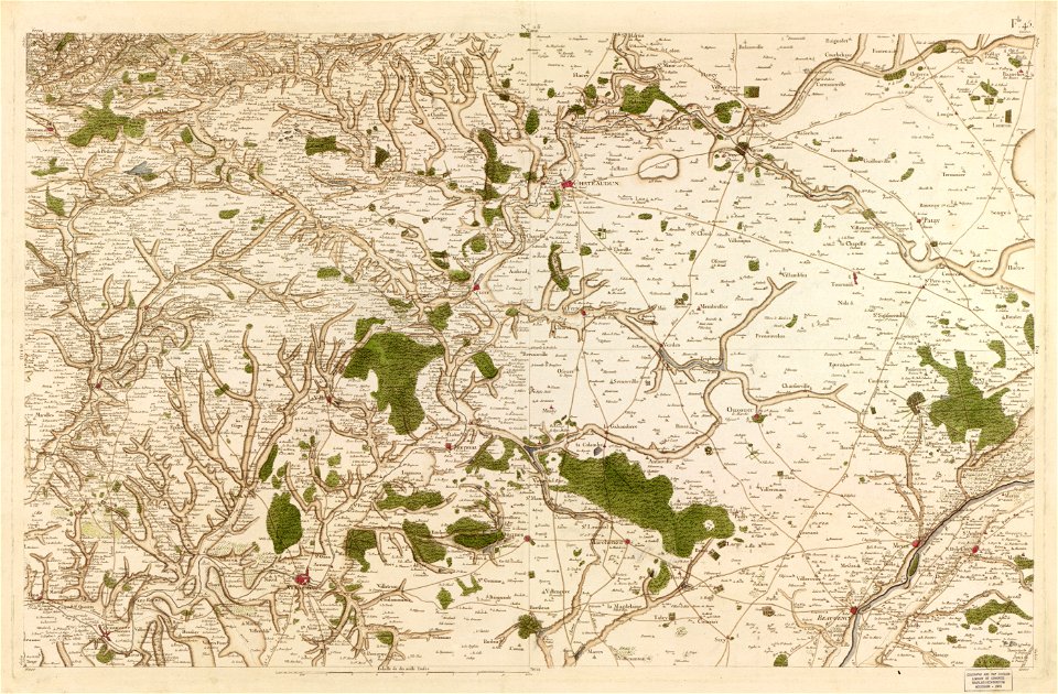
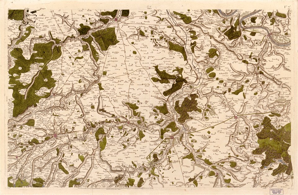
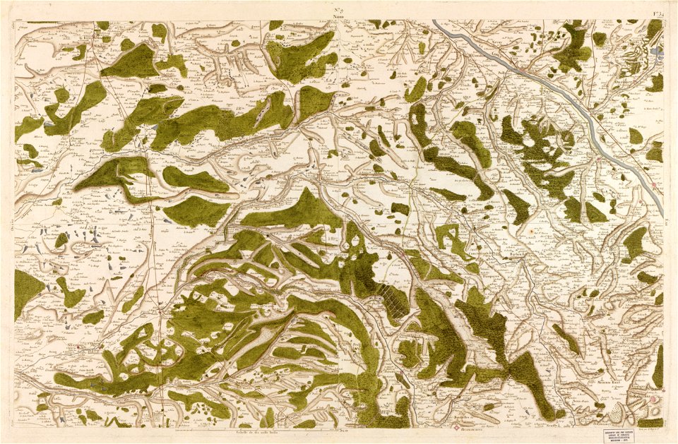
carte de france
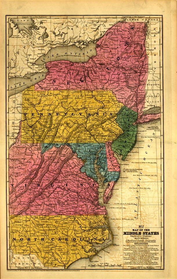
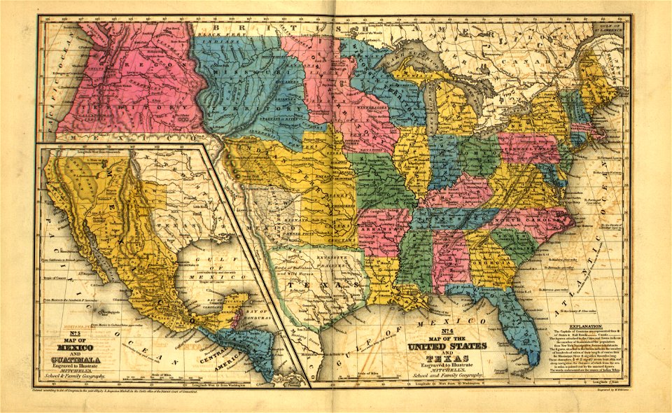
mitchell's school atlas
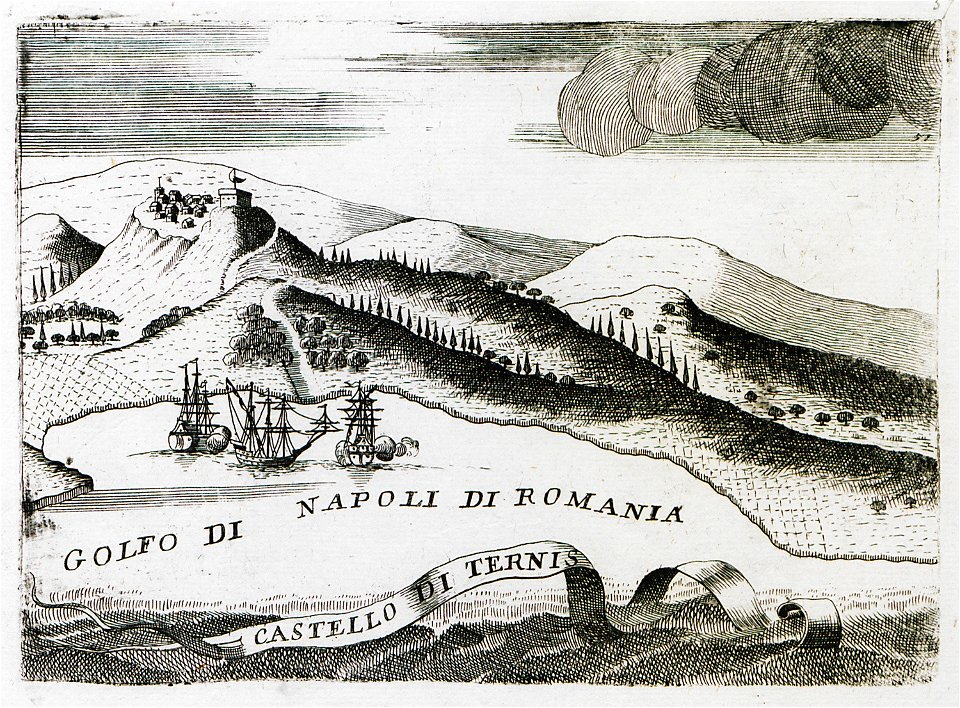
geographical illustrations by coronelli
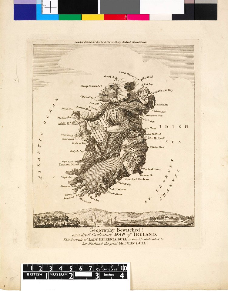
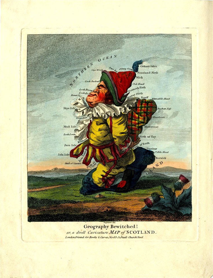
satirical prints in the british museum
maps in the stadsarchief amsterdam
1828
map „das herzogthum nassau“ by j.b. fischer
old maps of the peloponnese
claes jansz. visscher (ii)
engravings of topographia saxoniae inferioris
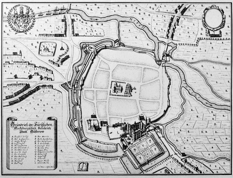
güstrow in the 17th century
map of goes by jacob van deventer
relief of goes
billerica and bedford railroad
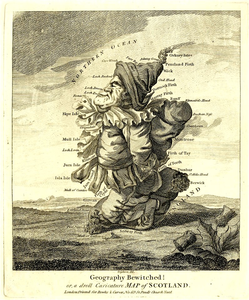
satirical prints in the british museum
satirical prints in the british museum
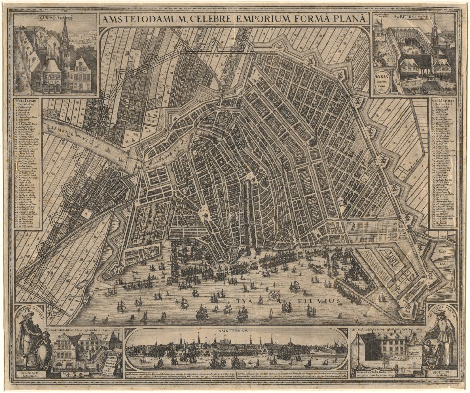
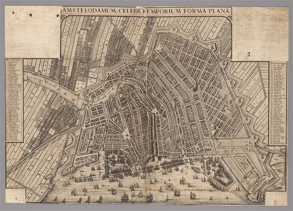
old maps of amsterdam
pierre fouquet junior
18th-century maps of liguria
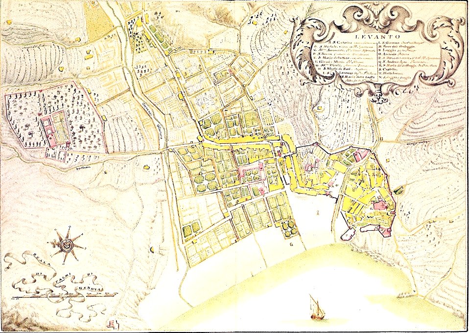
levanto
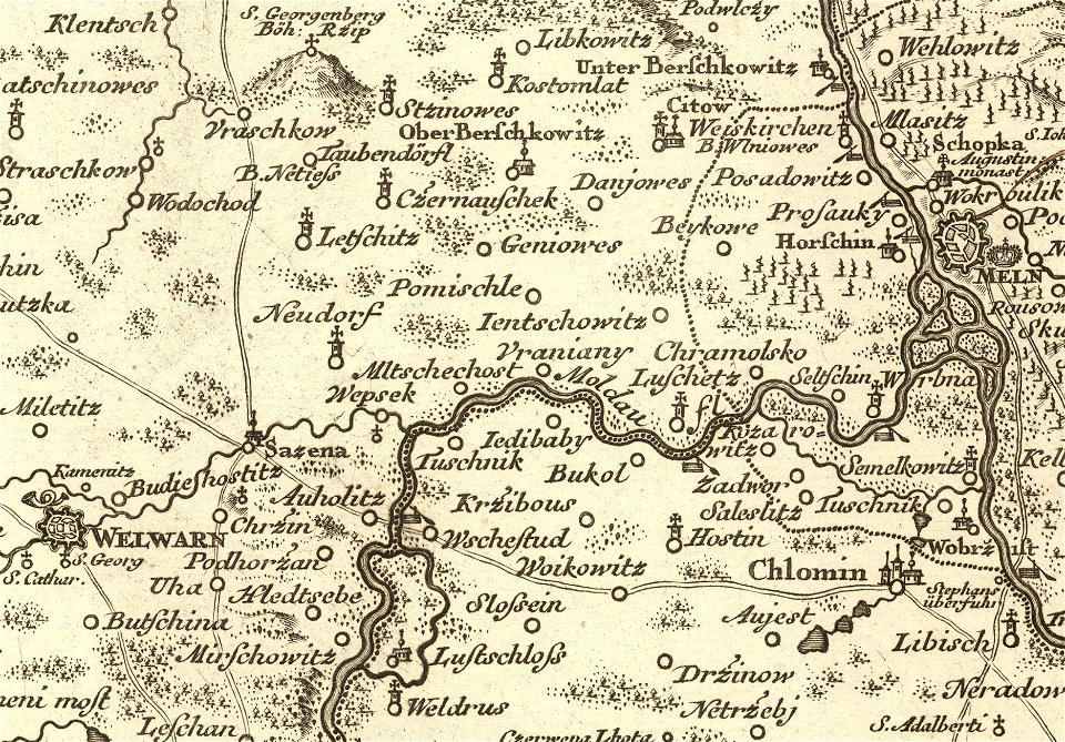
details of müller's map of bohemia
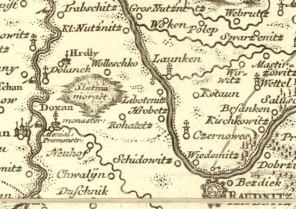
libotenice
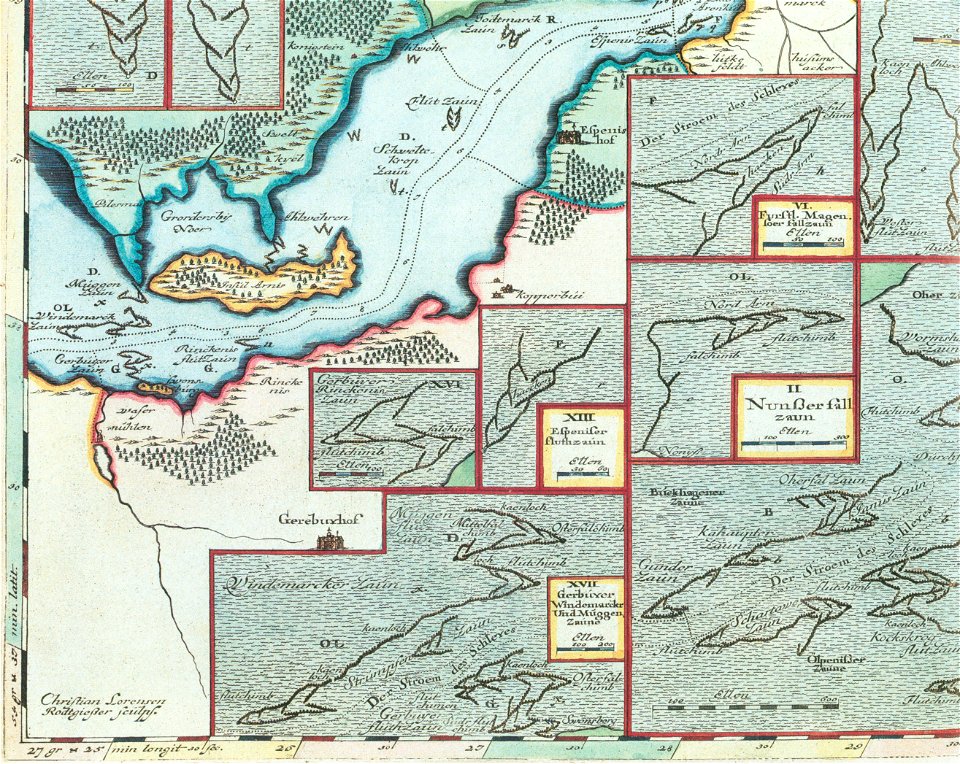
schlei
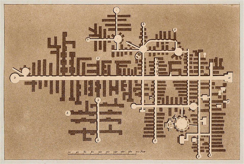
arni
geographical illustrations by coronelli
old maps of the peloponnese
the antiquities of magna graecia (1807)
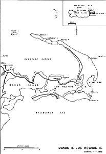
admiralty islands campaign
manus island
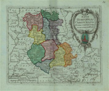
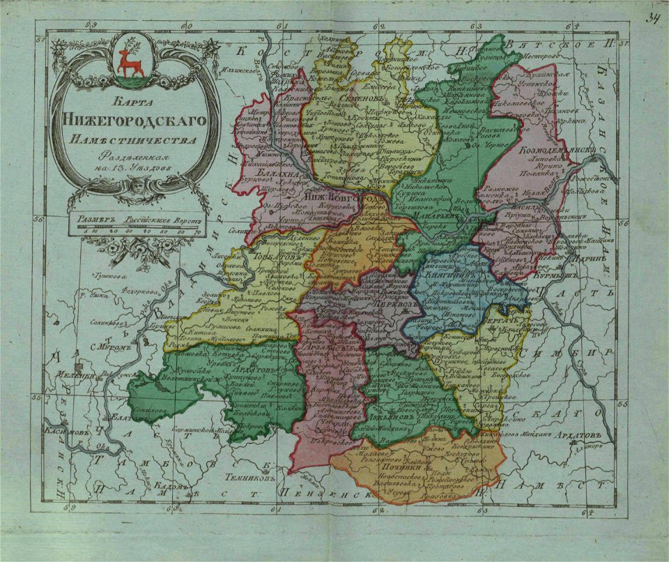
small atlas of the russian empire (1796)
maps by antonio zatta
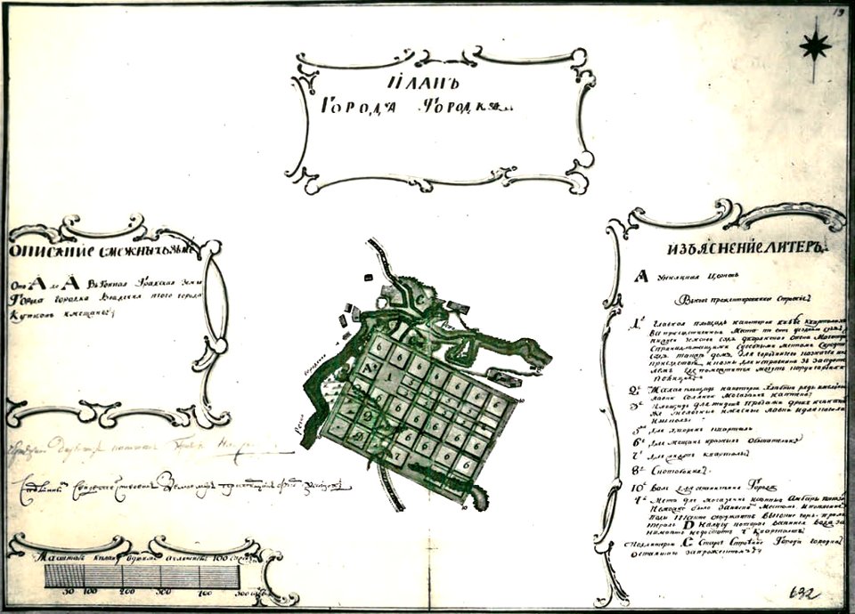
small atlas of the russian empire (1796)
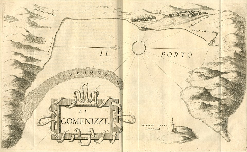
geographical illustrations by coronelli
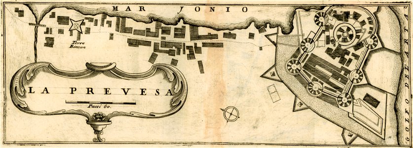
maps of preveza
liber insularum archipelagi (royal museums greenwich)
maps of kalymnos
liber insularum archipelagi (royal museums greenwich)
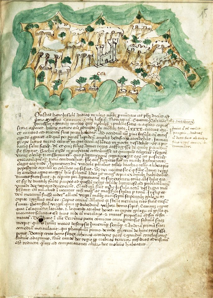
maps of kea (cyclades)
geographical illustrations by coronelli
engravings of igoumenitsa
encyclopaedia universalis mundaneum
pacific
maps in russian state archives of ancient documents
historical images of haradok
chicago and the midwest
newberry library
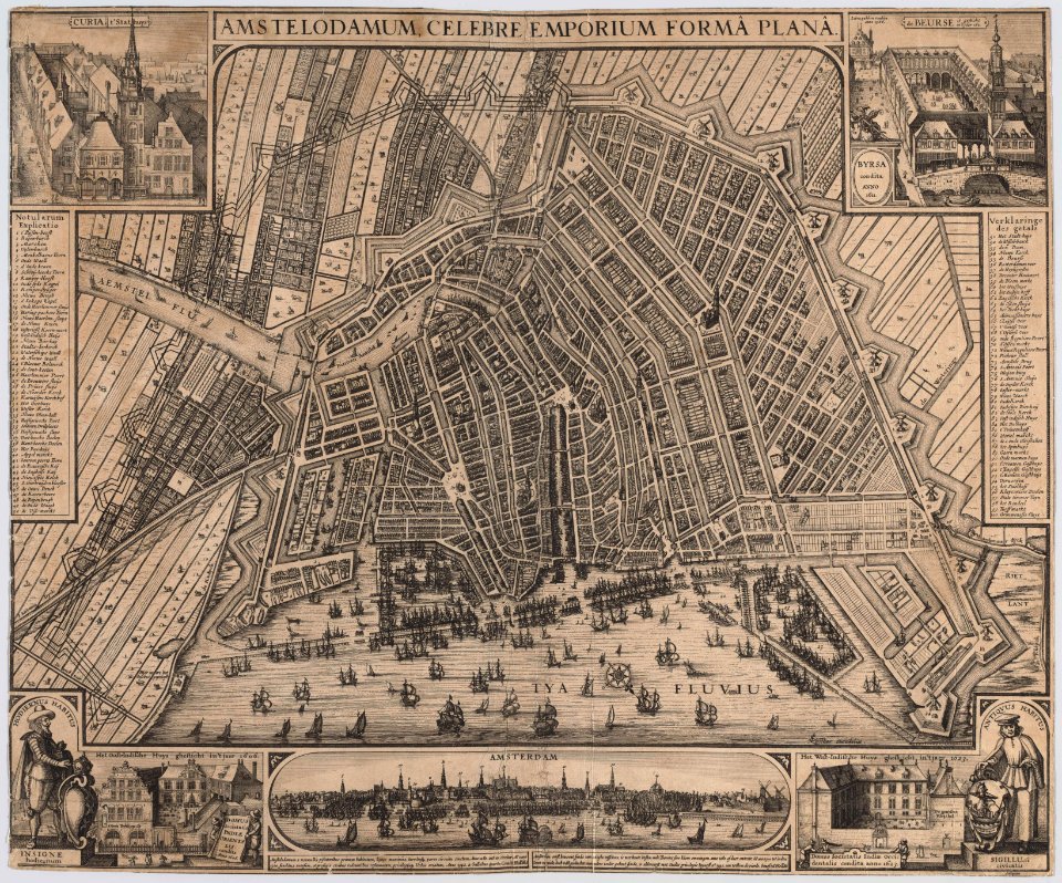
old maps of amsterdam
pierre fouquet junior
maps in the stadsarchief amsterdam
engravings by cornelis bogerts
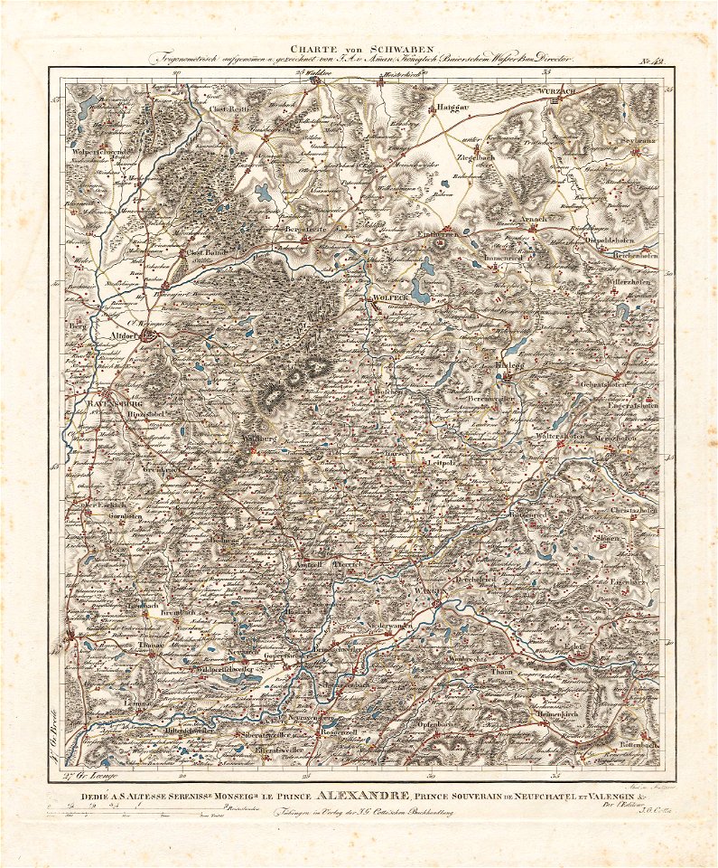
charte von schwaben (bohnenberger)
maps of ravensburg
maps in the library of congress
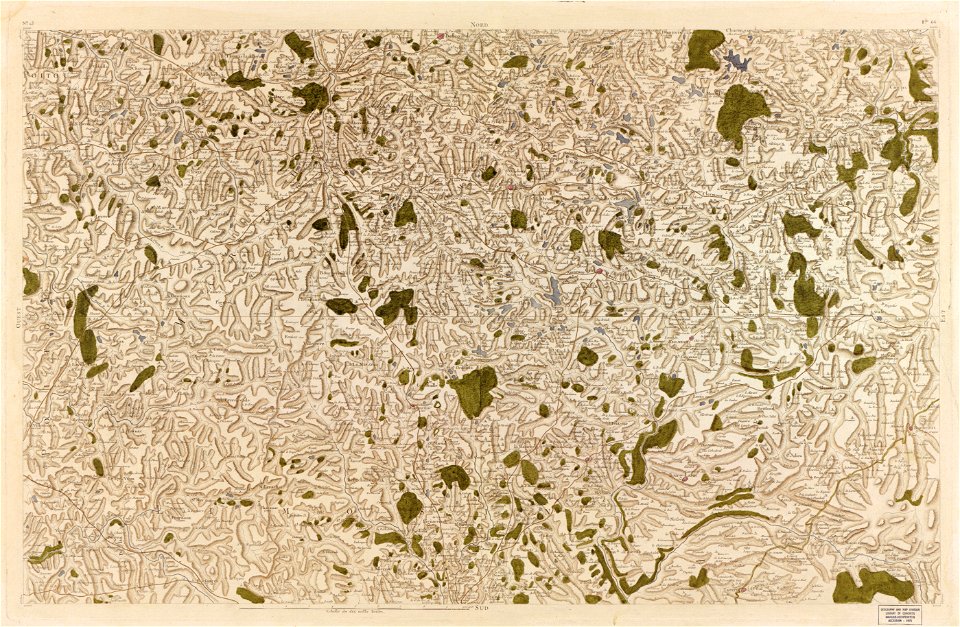
carte de france
maps in the library of congress
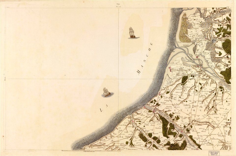
carte de france
maps in the library of congress
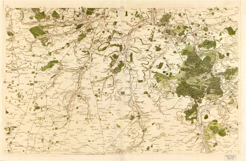
carte de france
maps in the library of congress
carte de france
maps in the library of congress
carte de france
maps in the library of congress
carte de france
maps in the library of congress
carte de france
maps in the library of congress
carte de france
maps in the library of congress
carte de france
maps in the library of congress
carte de france
maps in the library of congress
carte de france
maps in the library of congress
carte de france
maps in the library of congress
carte de france
maps in the library of congress
carte de france
description des principales villes (1690)
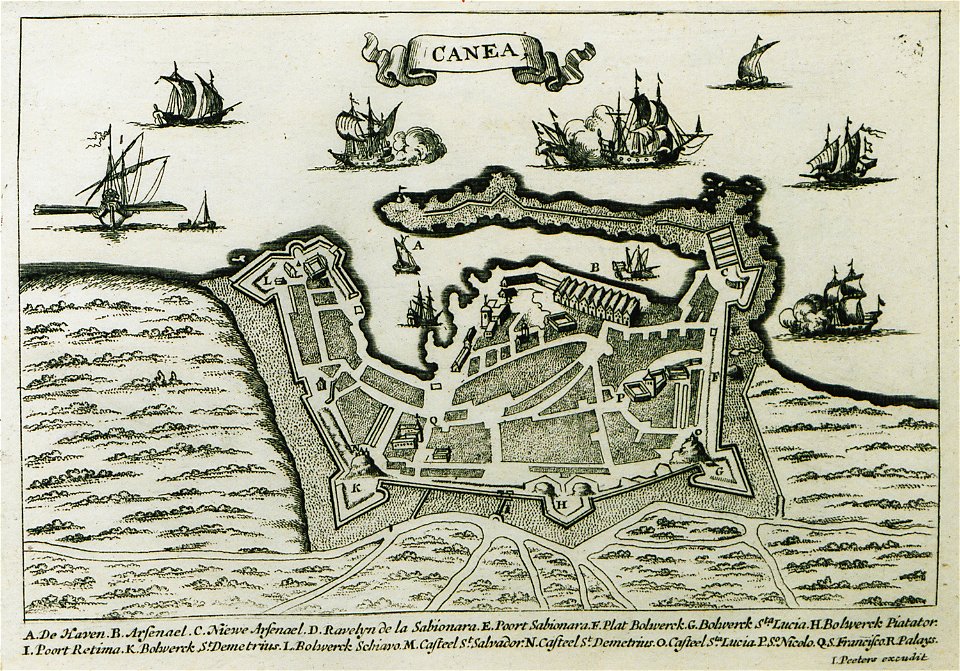
old maps of chania
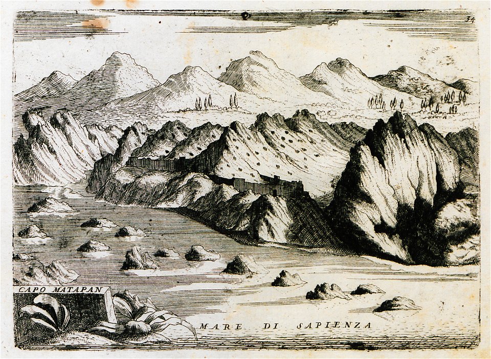
geographical illustrations by coronelli
old maps of the peloponnese
paintings in the metropolitan museum of art
maps in the stadsarchief amsterdam
claes jansz. visscher (ii)
maps in the stadsarchief amsterdam
claes jansz. visscher (ii)
maps in the stadsarchief amsterdam
claes jansz. visscher (ii)
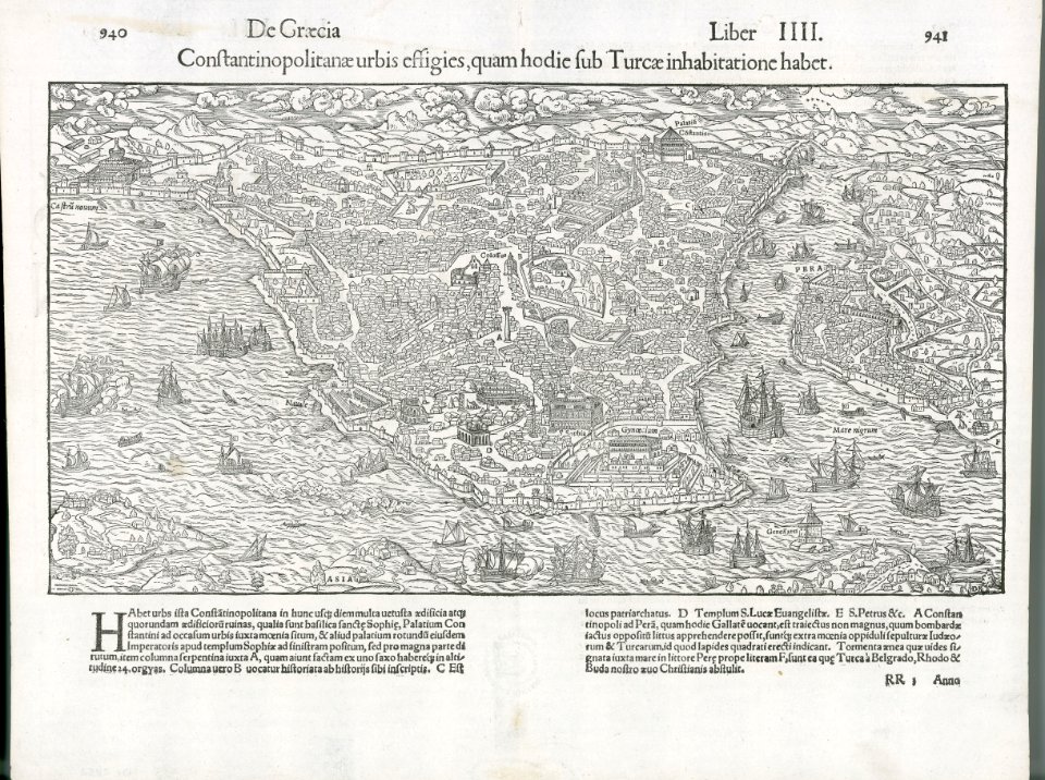
old maps of istanbul
atlante veneto (raremaps.com) volume 1
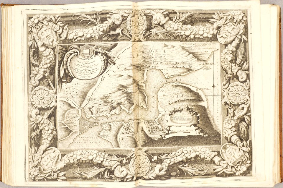
maps of the bosphorus
bibliothèque municipale de reims
rès. g 152
details of müller's map of bohemia
dušníky nad vltavou
maps in the library of congress
mitchell's school atlas
maps in the library of congress
mitchell's school atlas
maps in the library of congress
mitchell's school atlas
maps in the library of congress
mitchell's school atlas
maps and topographical views by joris hoefnagel
historical images of oradea
charts and maps of the royal museums greenwich
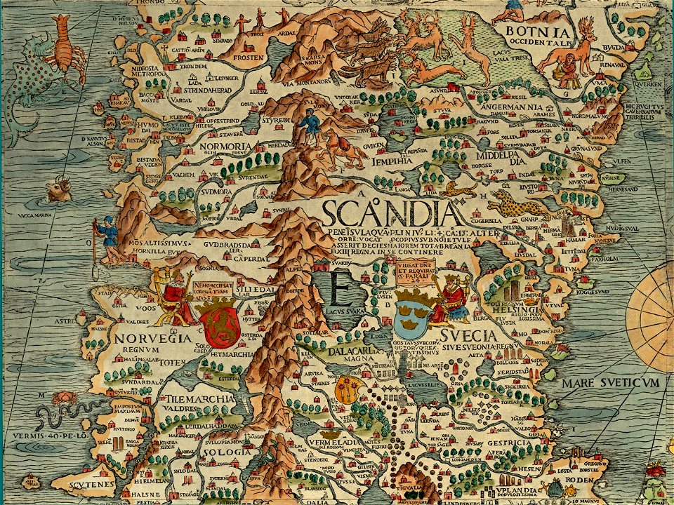
carta marina (details)
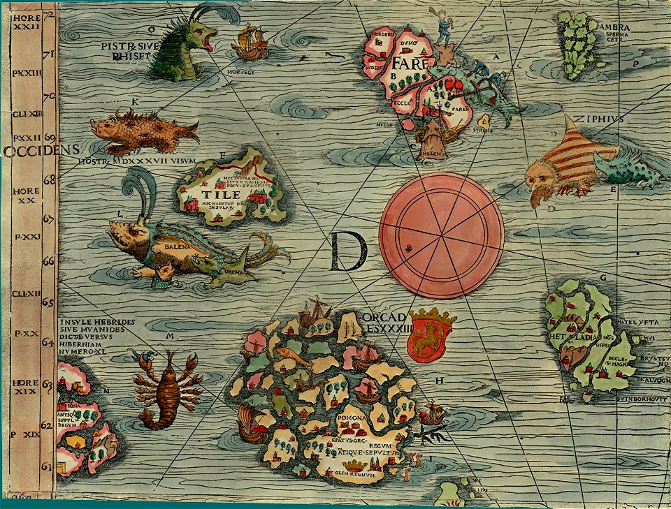
carta marina (details)
maps in the library of congress
mitchell's school atlas
maps in the library of congress
mitchell's school atlas
maps in the library of congress
mitchell's school atlas
description des principales villes (1690)
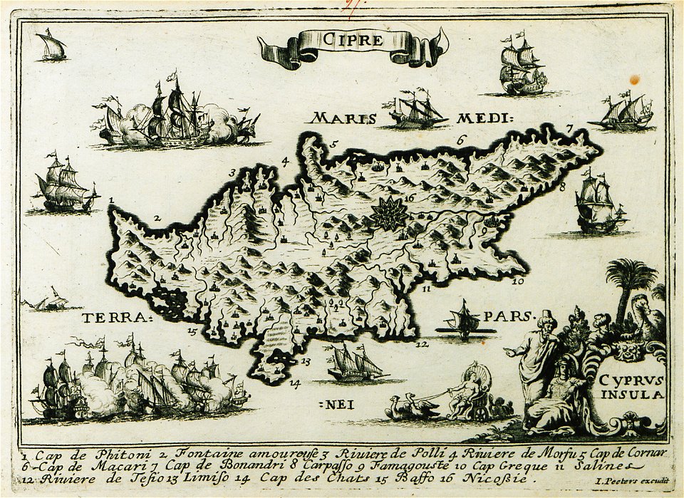
old maps of cyprus
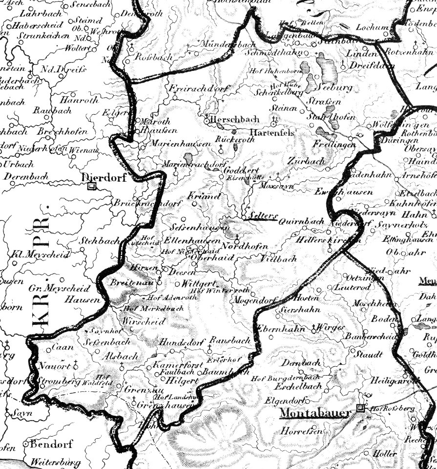
selters (westerwald)
1828
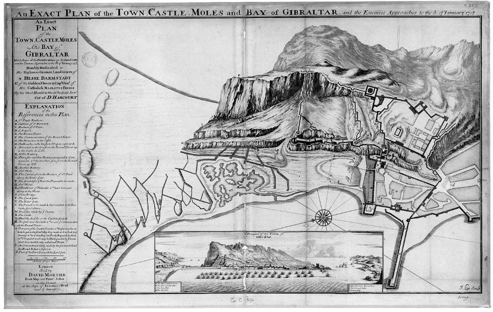
old maps of gibraltar
capture of gibraltar
fortified farms
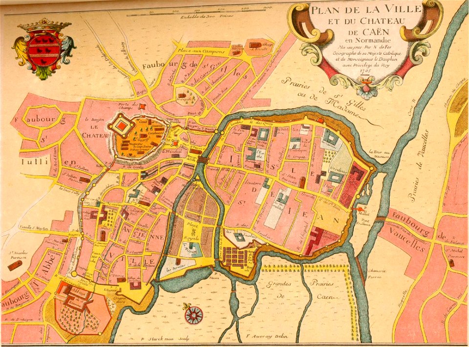
nicolas de fer
geographical illustrations by coronelli
old maps of the peloponnese
maps in the library of congress
carte de france
maps in the library of congress
carte de france
maps in the library of congress
carte de france
maps in the library of congress
carte de france
maps in the library of congress
carte de france
maps in the library of congress
carte de france
maps in the library of congress
carte de france
maps in the library of congress
carte de france
maps in the library of congress
carte de france
maps in the library of congress
carte de france
maps in the library of congress
carte de france
maps in the library of congress
carte de france
maps in the library of congress
carte de france
maps in the library of congress
carte de france
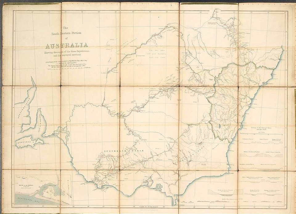
19th-century maps of new south wales
thomas livingstone mitchell
satirical prints in the british museum
satirical prints in the british museum
maps of gamla stan
1862 in stockholm
old maps of stockholm by georg biurman
ulvsunda slott - park
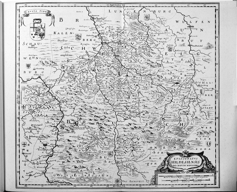
engravings of topographia saxoniae inferioris
old maps of hildesheim
maps of lidingö
yttringe
johann christoph müller
maps of rumburk
historical images of rimini
maps of rimini
charts and maps of the royal museums greenwich
joan martines
joan blaeu
vogtland
bibliothèque municipale de reims
rès. g 153
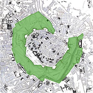
vienna
glacis
map „das herzogthum nassau“ by j.b. fischer
1828
map „das herzogthum nassau“ by j.b. fischer
1828
wallmerod
1828
il devotissimo viaggio di gerusalemme fatto
maps of zakynthos
russo-turkish war (1735—1739)
maps by matthäus seutter
itinerarium hierosolymitanum et syriacum..., 1619
ships on maps
francesco piranesi
old maps of lazio
charts and maps of the royal museums greenwich
7801 - 7900 of 38,646
Next page
/ 387