En
Log in
All resources
Create a design
Tools
38,646 Free Artworks of Map
fonds ancely - bibliothèque municipale de toulouse - maps
maps in the library of congress
victor levasseur - maps of france
albert ruger
maps made in the 17th century
maps
frédéric-auguste laguillermie
maps of the west-indische compagnie
vintage maps
atlantis magni tomus tertius (biblioteca comunale di trento)
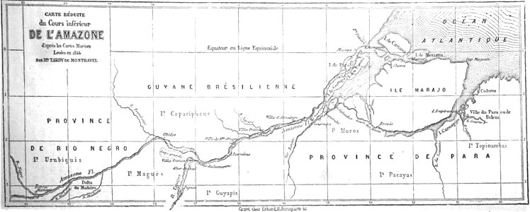
19th-century maps of brazil
map of brazil
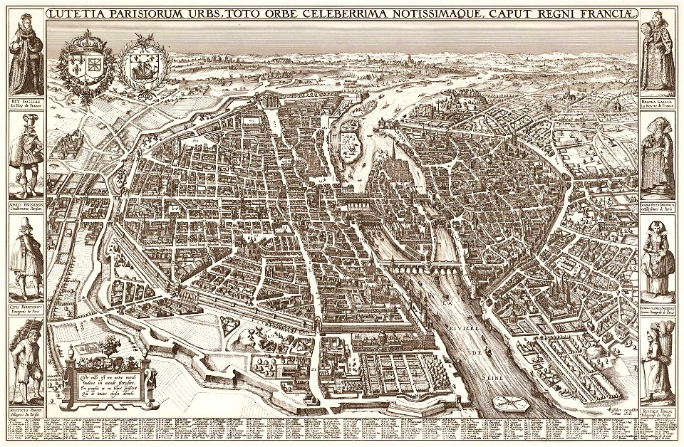
map of paris by claes jansz. visscher
bird's eye view maps of paris
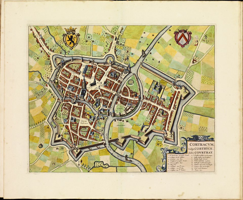
old maps of kortrijk
atlas de wit 1698
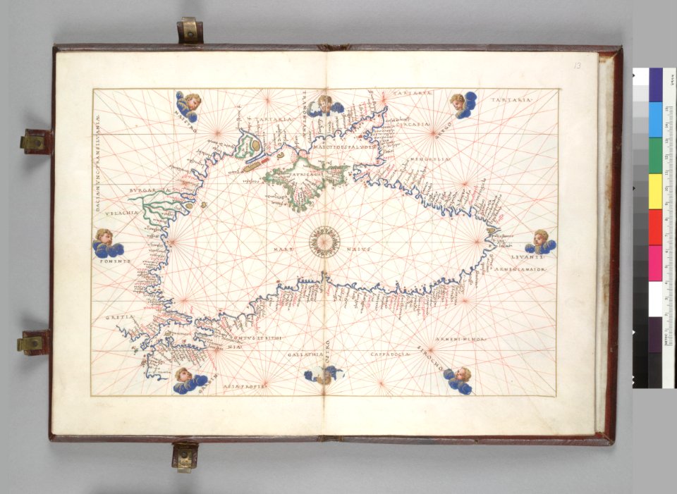
16th-century maps of the black sea
battista agnese
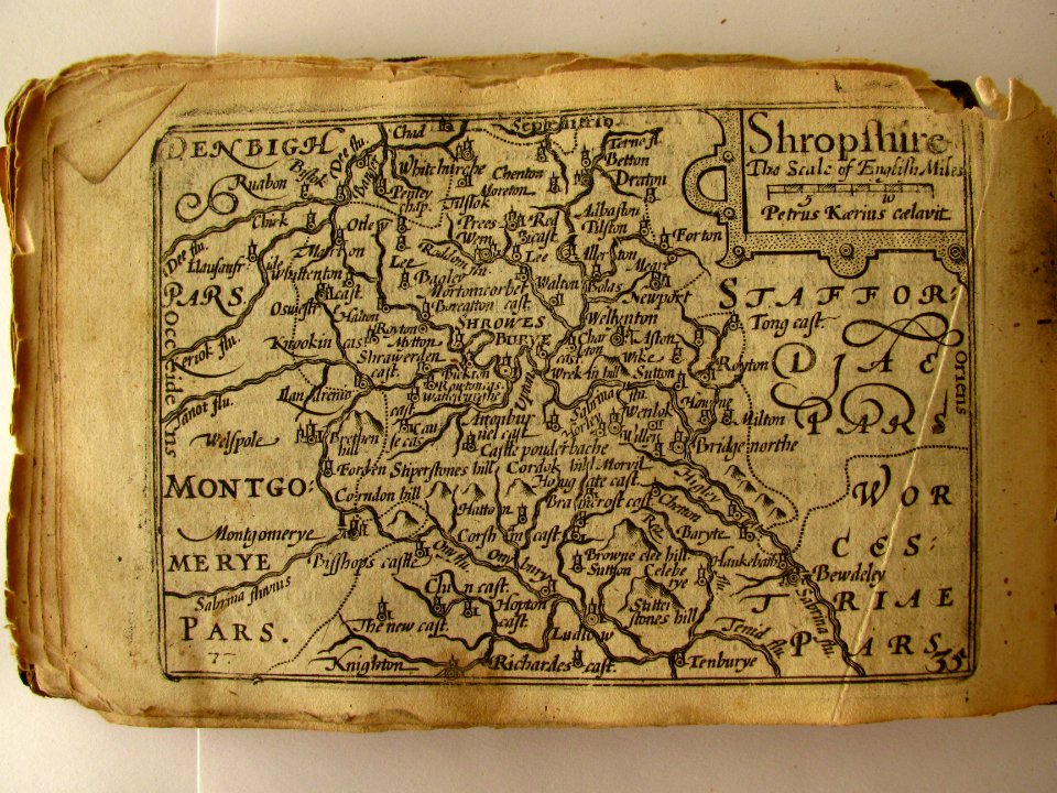
miniature speed atlas (1627) pieter van den keere
pieter van der keere
miniature speed atlas (1627) pieter van den keere
pieter van der keere
maps of the west-indische compagnie
1732
kentucky
paris
river falls
wisconsin
pennsylvania
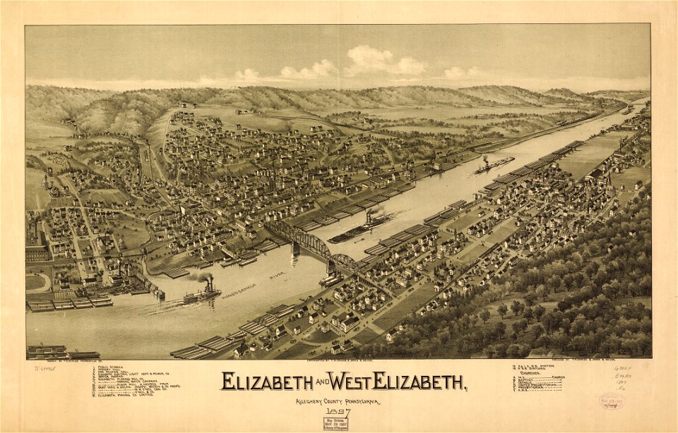
elizabeth
chicago and the midwest
newberry library
maps by pieter pourbus
1570s maps
ms. ludwig xv 4 (getty museum) - bird book of hugo fouilloy
13th-century maps of the world
astronomy
maps
old maps of mediterranean sea
levantine sea
maps from the mechanical curator collection available to georeference
maps from the mechanical curator collection
maps by willem and johannes blaeu
maps made in the 17th century
1780s maps of portugal
1780s maps of spain
fonds ancely - bibliothèque municipale de toulouse - maps
frédéric-auguste laguillermie
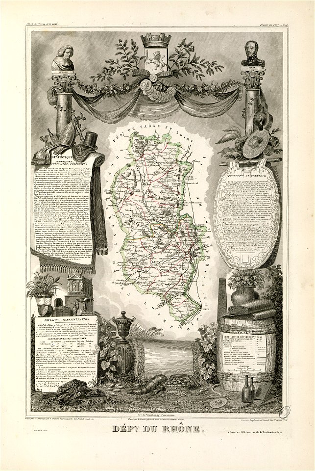
coats of arms of rhône
louis gabriel suchet
fonds ancely - bibliothèque municipale de toulouse - maps
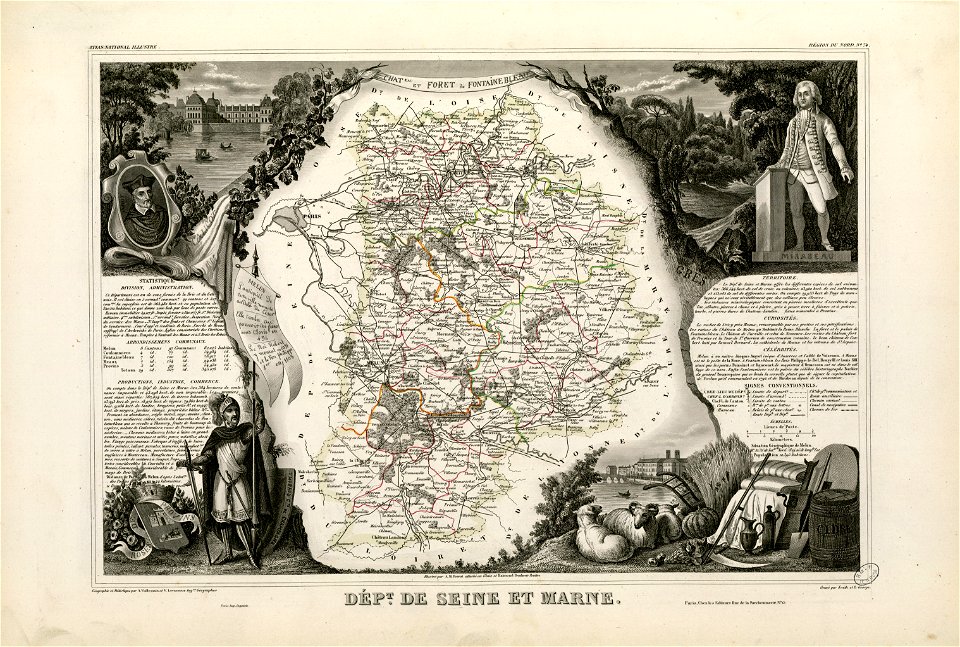
victor levasseur - maps of france
old maps of seine-et-marne
honoré mirabeau
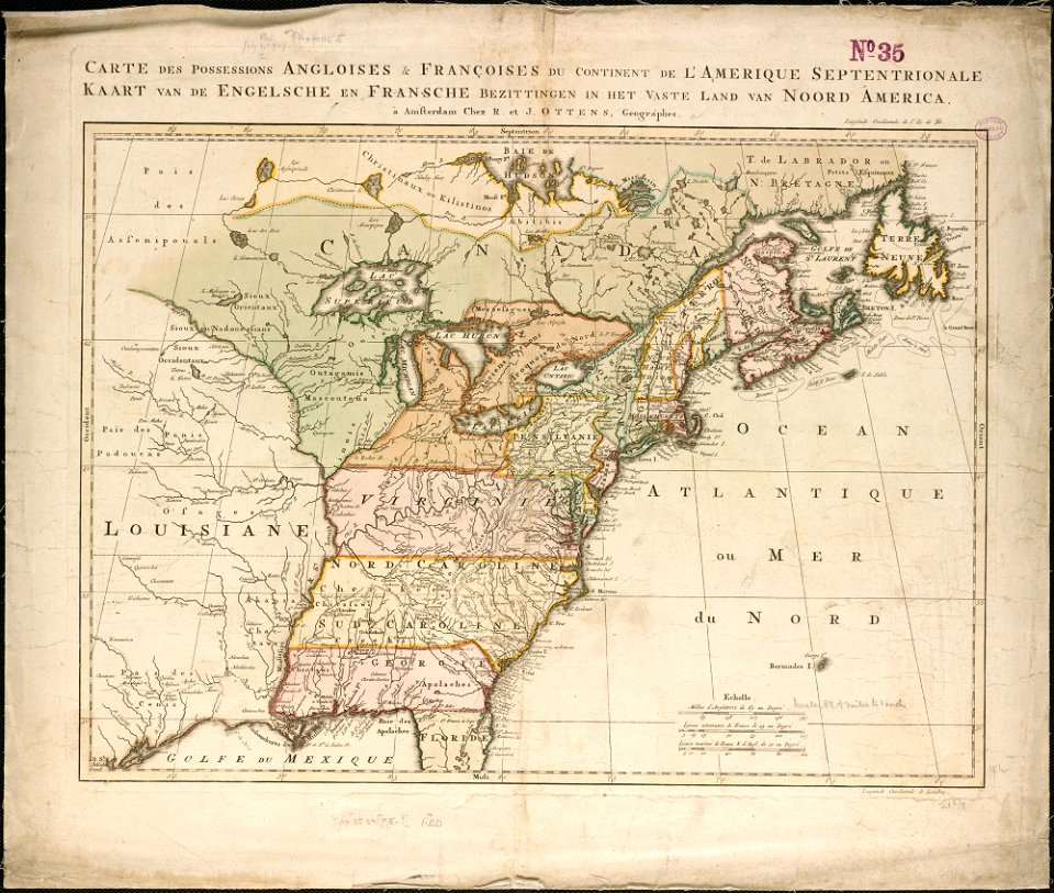
old maps of north america from the norman b. leventhal map center
1755 maps of the united states
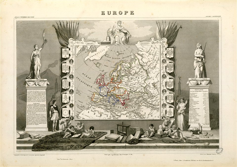
coats of arms of switzerland
coats of arms of italy
russian-language maps
old maps of greece
ten thousand campaign
old maps of turkey
maps of veurne city walls
atlas de wit 1698
map of the northern hemisphere in four segments (rcin 991393)
florida
1730s
georg marggraf
elmina
missouri
mexico
indiana
peru
maps in the library of congress
albert ruger
karl spruner von merz
1855 maps of africa
engravings in the rijksmuseum amsterdam
old maps of venice
images from the new york public library
francis d'avignon
atlantis magni tomus tertius (biblioteca comunale di trento)
maps made in the 17th century
old maps of papua new guinea
maps by alexandre vuillemin
maps in london labour and the london poor (1851)
historical documents of the spandau citadel
festung spandau
battle of mars-la-tour
1895 drawings
rennes in the 1880s
1889 maps
maps in the stadsarchief amsterdam
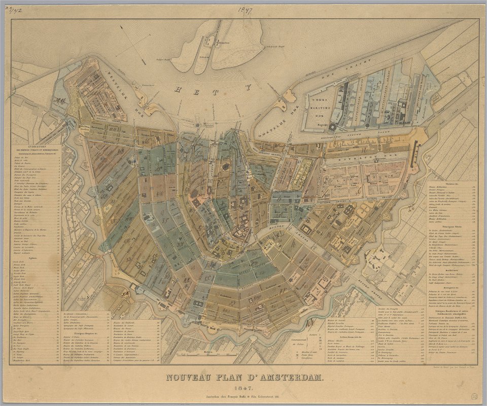
old maps of amsterdam
maps in the stadsarchief amsterdam
old maps of amsterdam
maps in the stadsarchief amsterdam
old maps of amsterdam
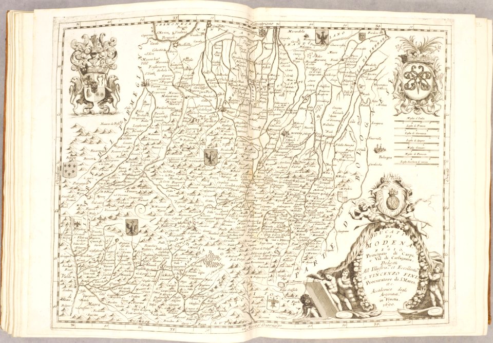
maps of duchy of modena and reggio
modena
maps of the west-indische compagnie
johannes van keulen
aircraft on stamps of the united states
airmail stamps of the united states
atlantis magni tomus tertius (biblioteca comunale di trento)
maps made in the 17th century
bancroft library collections
california
travel
maps
portraits of jean racine
history of soissons
coats of arms of cities in aude
coats of arms of aude
françois-antoine de boissy d'anglas
frédéric-auguste laguillermie
coats of arms of cities in hautes-pyrénées
bertrand barère de vieuzac
18th-century maps of brazil
1780 in south america
maps from the mechanical curator collection
battle of trautenau
vintage
maps
schauplatz der fünf theile der welt
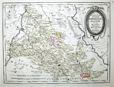
old maps of the duchy of jülich
christmas
happy
atlas van der hagen
old maps of france
fonds ancely - bibliothèque municipale de toulouse - maps
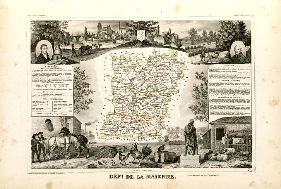
coats of arms of cities in mayenne
old maps of the middle east
harvard university
earth
maps
fonds ancely - bibliothèque municipale de toulouse - maps
robert batty (artist)
fonds ancely - bibliothèque municipale de toulouse - maps
frédéric-auguste laguillermie
lithographs of paris
floor plans of paris
map of paris by claes jansz. visscher
bird's eye view maps of paris
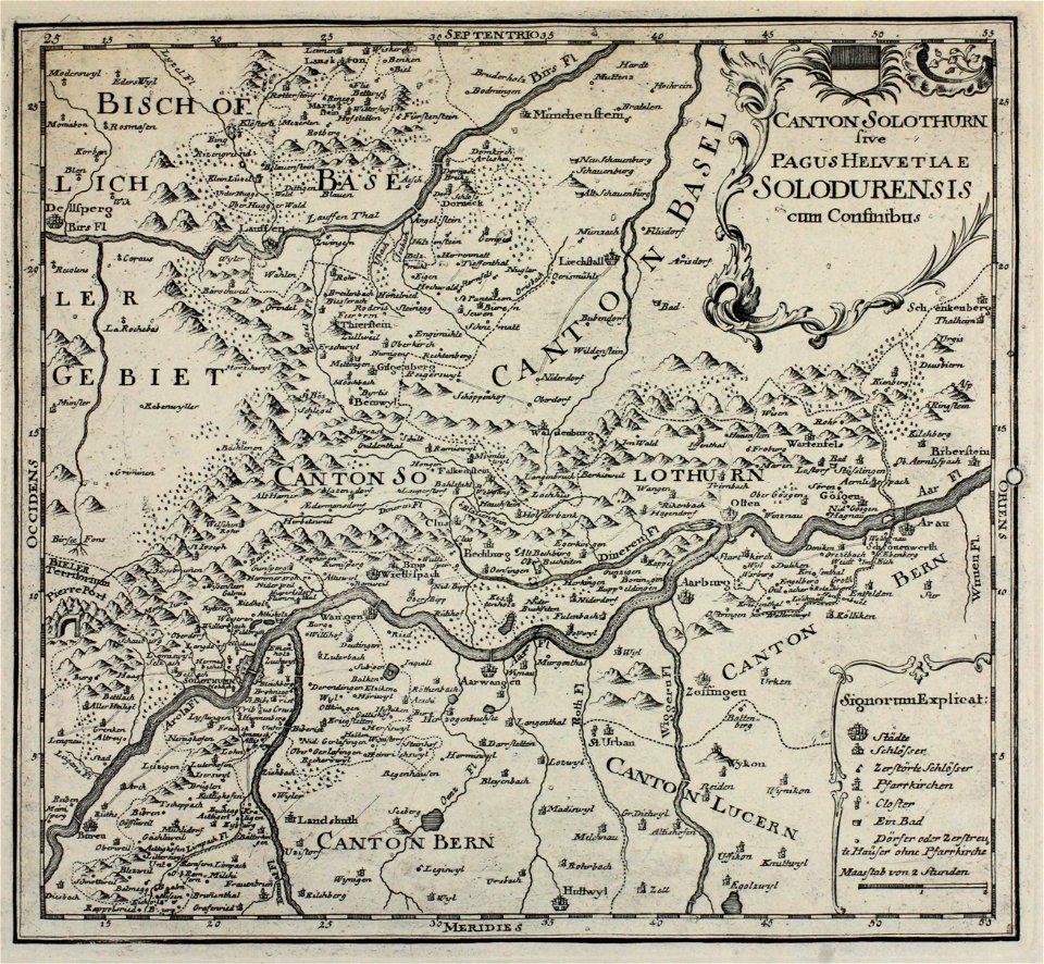
historical images of solothurn
old maps of switzerland
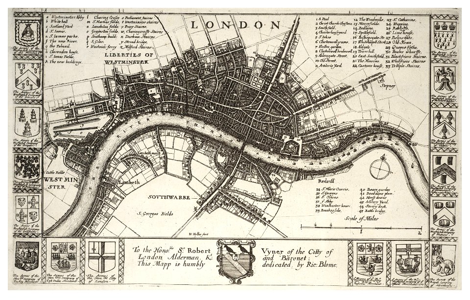
university of toronto wenceslas hollar digital collection
hollar maps and plans of london
university of toronto wenceslas hollar digital collection
old maps of ireland
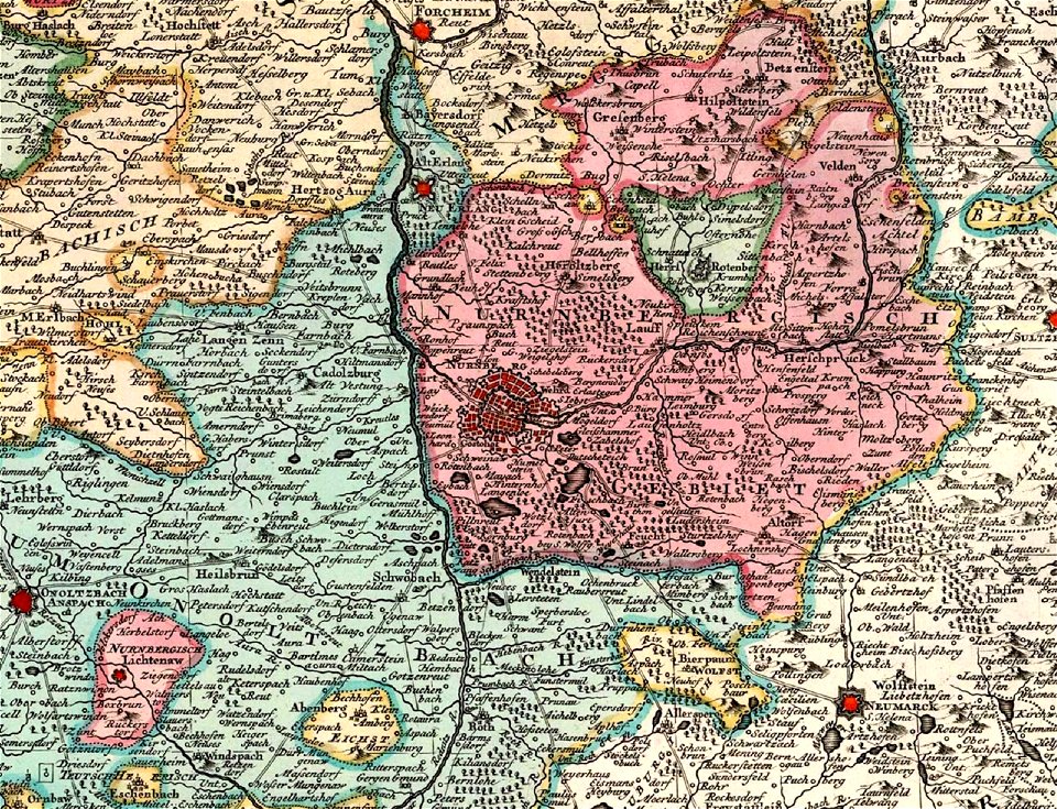
old maps of nuremberg
covens en mortier
maps made in the 17th century
nicolaes visscher ii
maps in the library of congress
california
maps of paris from the david rumsey historical map collection
paris: containing the quartiers by william barnard clarke
maps in the library of congress
1862 maps
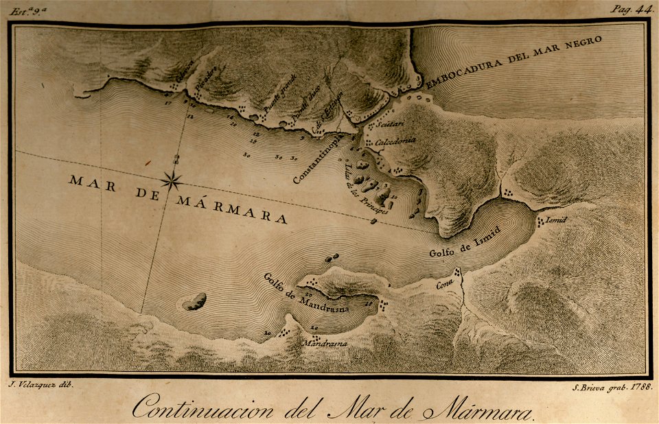
maps of the sea of marmara
maps of the bosphorus
miniature speed atlas (1627) pieter van den keere
pieter van der keere
claes jansz. visscher (ii)
1650s maps of the world
atlantis magni tomus tertius (biblioteca comunale di trento)
maps made in the 17th century
saint-louis region
1665
maps of the west-indische compagnie
1747)
old maps of utrecht (city)
braun & hogenberg
hand-drawn maps and views of world war i battlefields by h.m.
battle of hartmannswillerkopf
maps in the library of congress
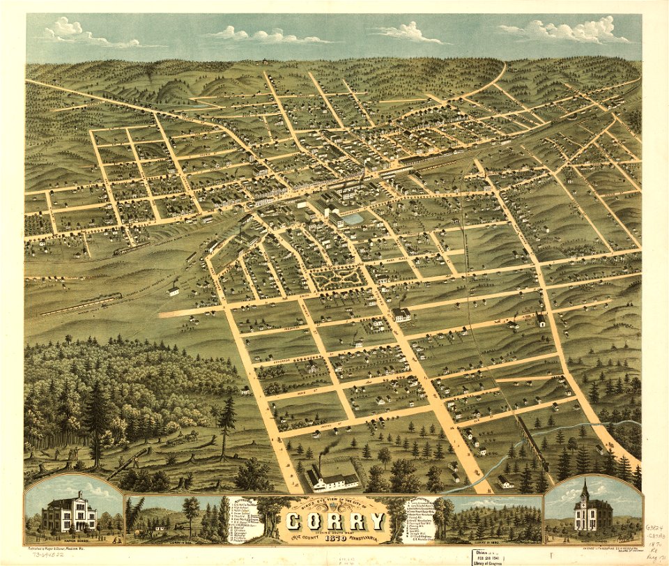
pennsylvania
maps in the library of congress
pennsylvania
maps made in the 17th century
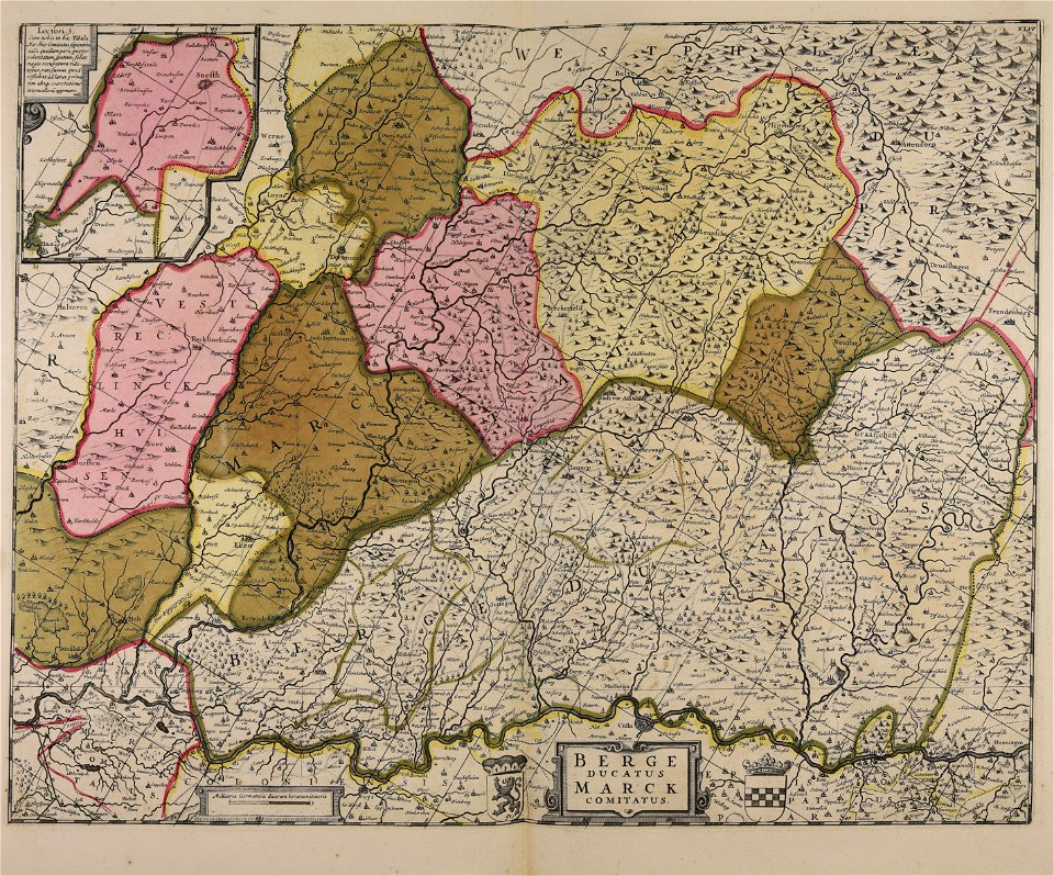
maps of the county of mark
bibliothèque municipale de reims
montparnasse
maps in the library of congress
1883 maps of montana
19th-century maps of bavaria
wertach river in augsburg
lucas janszoon waghenaer
1588 maps
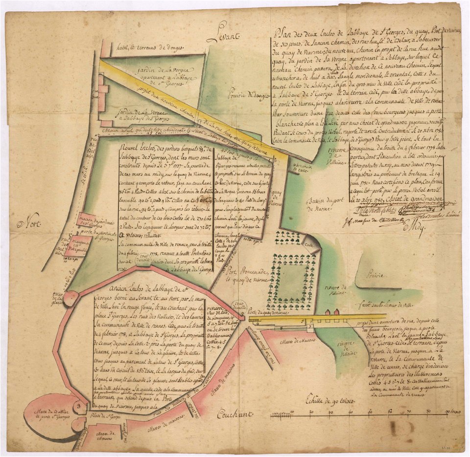
old maps of rennes
1780 maps
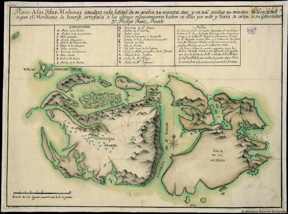
old maps of the falkland islands
history of the falkland islands
maps with cartouches
atlas van der hagen
old maps of lombardy
novara
fonds ancely - bibliothèque municipale de toulouse - maps
coats of arms of cities in charente
animals
maps
maps with cartouches
mount wutai
map of paris by claes jansz. visscher - derivate files
abbaye sainte-geneviève de paris
maps in the library of congress
1862 maps
5701 - 5800 of 38,646
Next page
/ 387