En
Log in
All resources
Create a design
Tools
38,646 Free Artworks of Map
maps in the library of congress
fonds ancely - bibliothèque municipale de toulouse - maps
maps of the west-indische compagnie
maps made in the 17th century
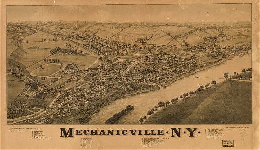
new york
l. r. burleigh
maps with cartouches
atlas van der hagen
atlante veneto (raremaps.com) volume 2
gerard valck
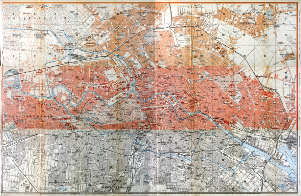
wagner & debes
1914 in berlin
dutch bengal
1720s
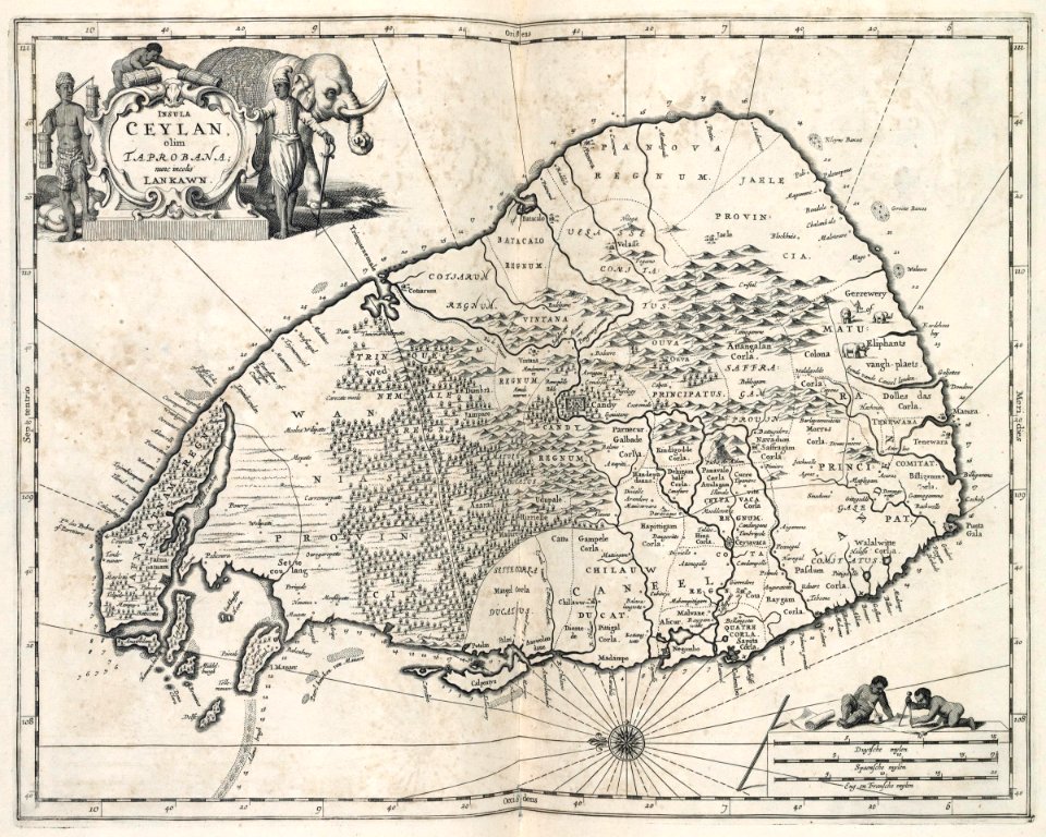
johannes janssonius waasbergen
1672
johannes janssonius waasbergen
1672
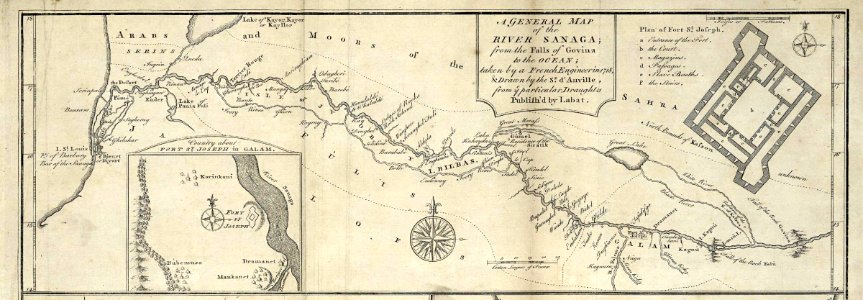
maps of the senegal river
1745
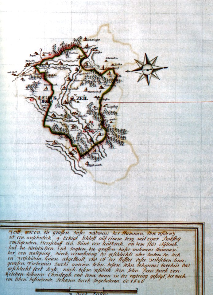
history of leutkirch im allgäu
schloss zeil
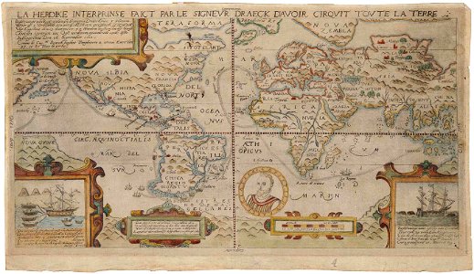
1590s maps of the world
francis drake
die kunstdenkmäler des kreises konstanz (1887)
maps of baden-württemberg
miniature speed atlas (1627) pieter van den keere
maps of wales by john speed
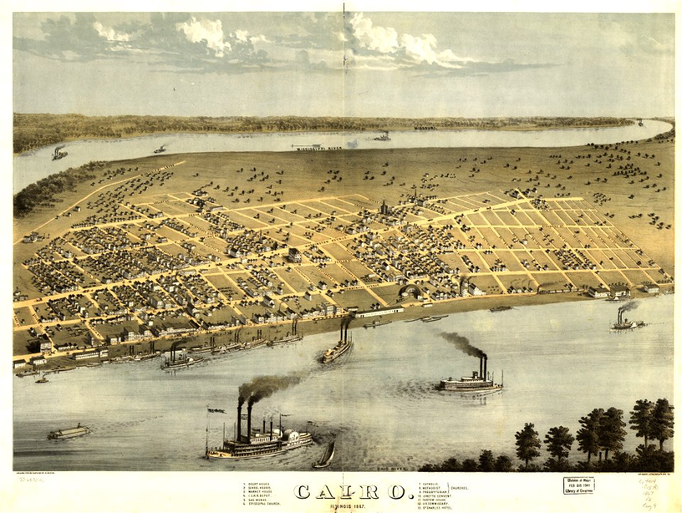
maps in the library of congress
cairo
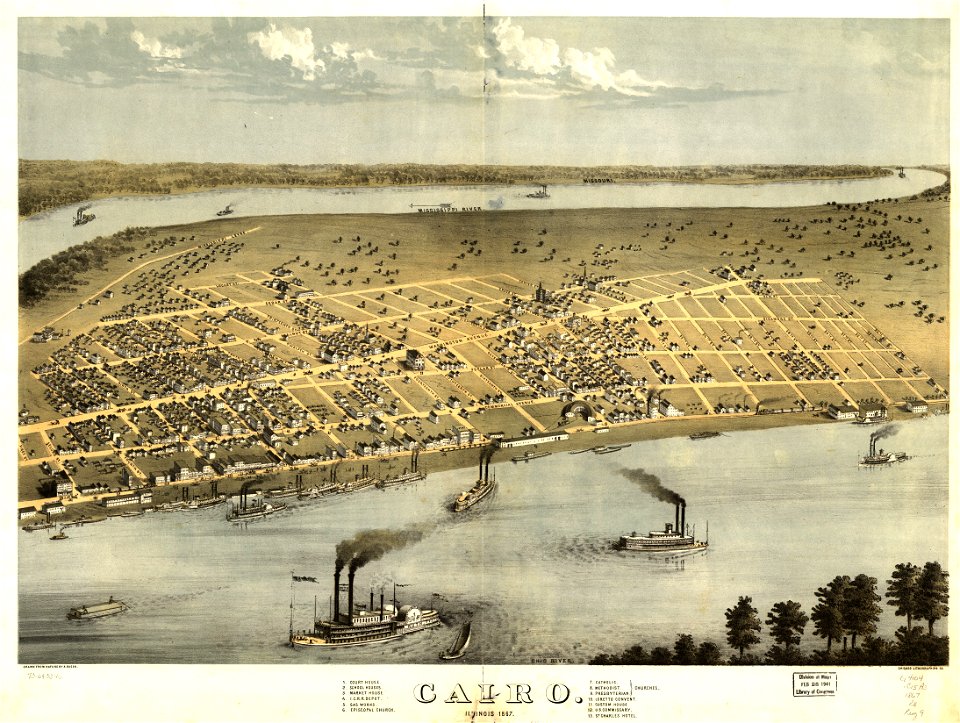
maps in the library of congress
cairo
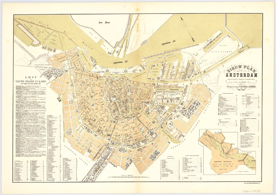
maps in the stadsarchief amsterdam
oosterdok
charts and maps of the royal museums greenwich
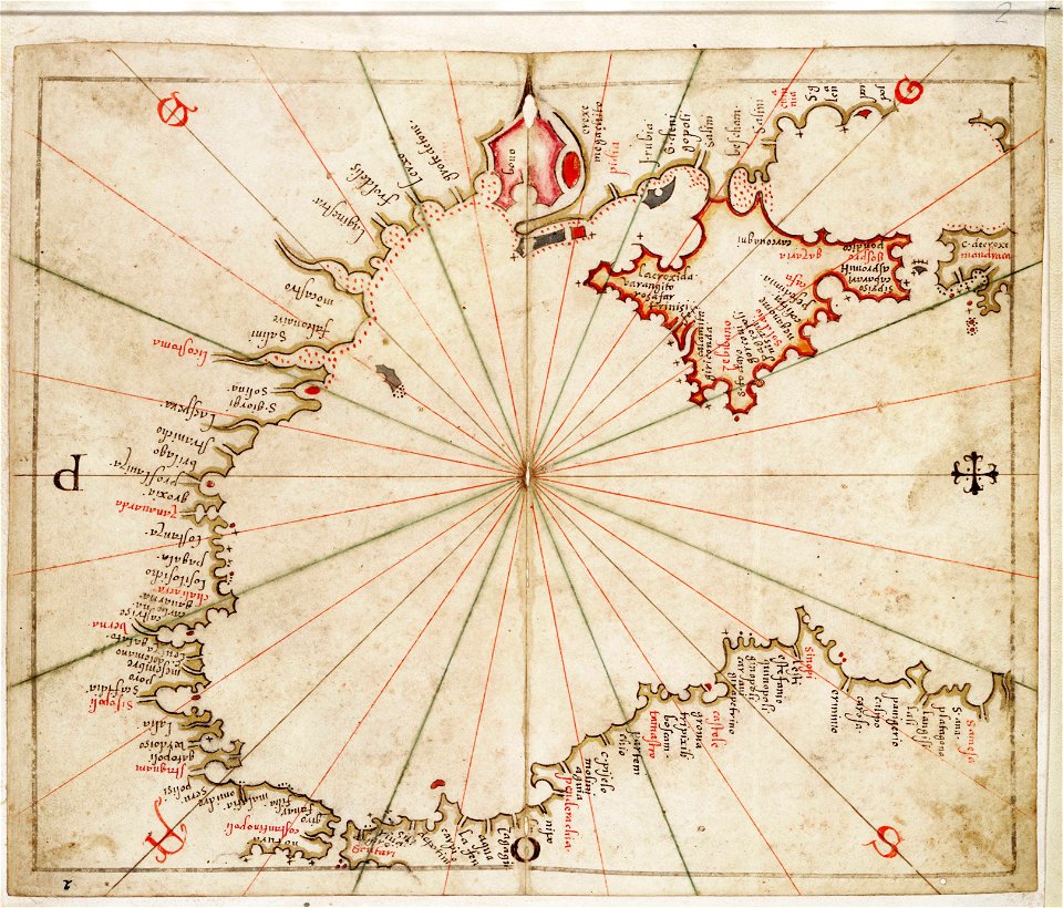
16th-century maps of the black sea
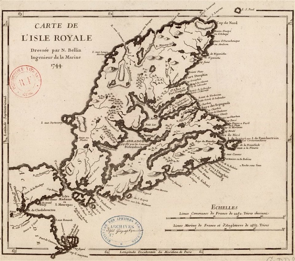
maps by jacques-nicolas bellin
old maps of cape breton island
new york
camden
old maps of cities in germany
maps by matthäus seutter
images from bristol past and present (1882)
millerd's map of bristol
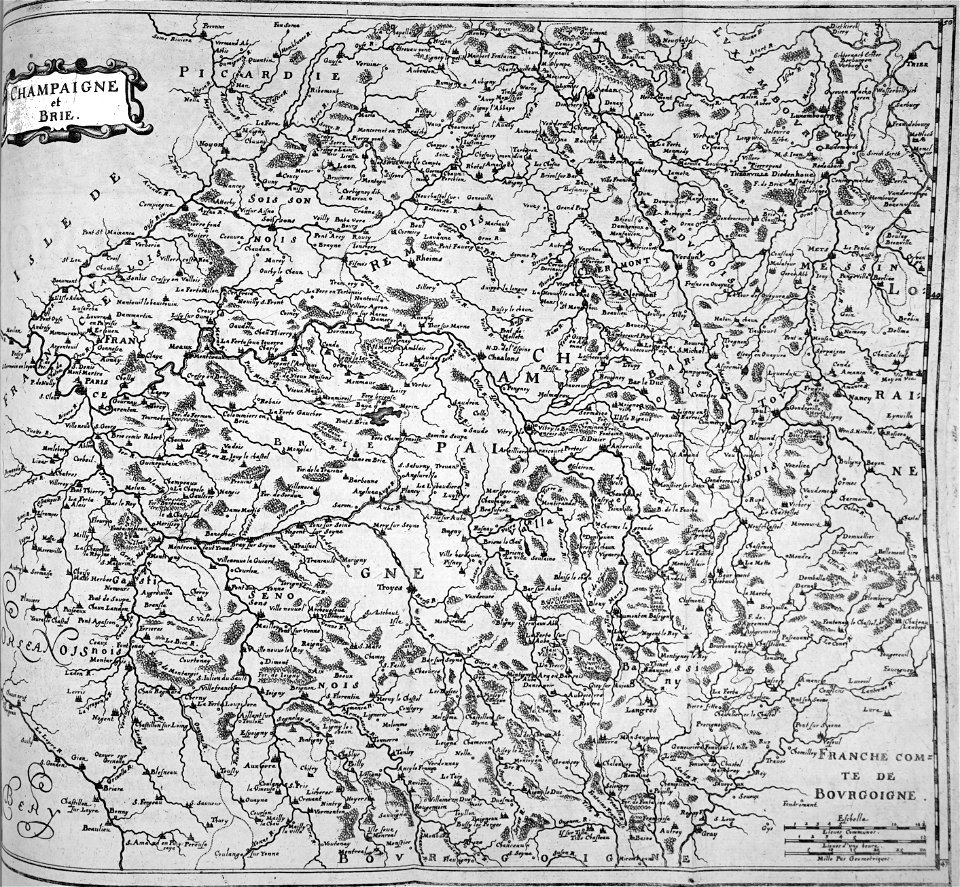
bibliothèque municipale de reims
rès. g 152
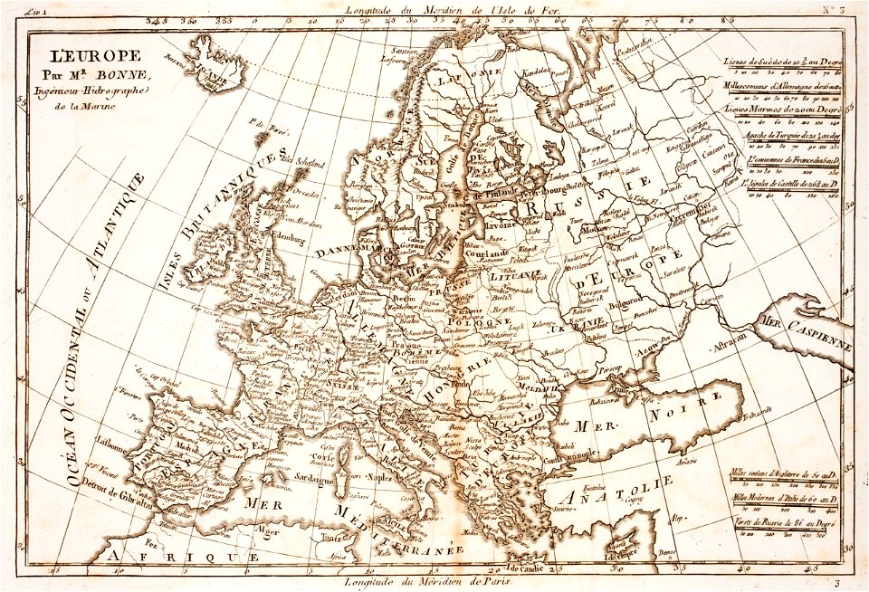
prints from bonne atlas de toutes les parties at the peace palace library
18th-century maps of europe
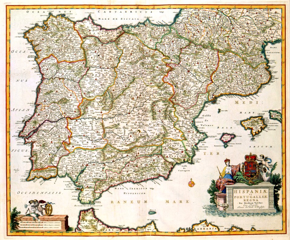
old maps of the iberian peninsula
nicolaes visscher ii
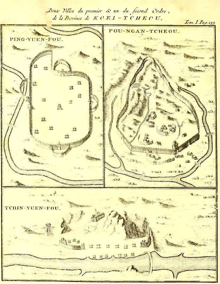
zhijin county
guizhou
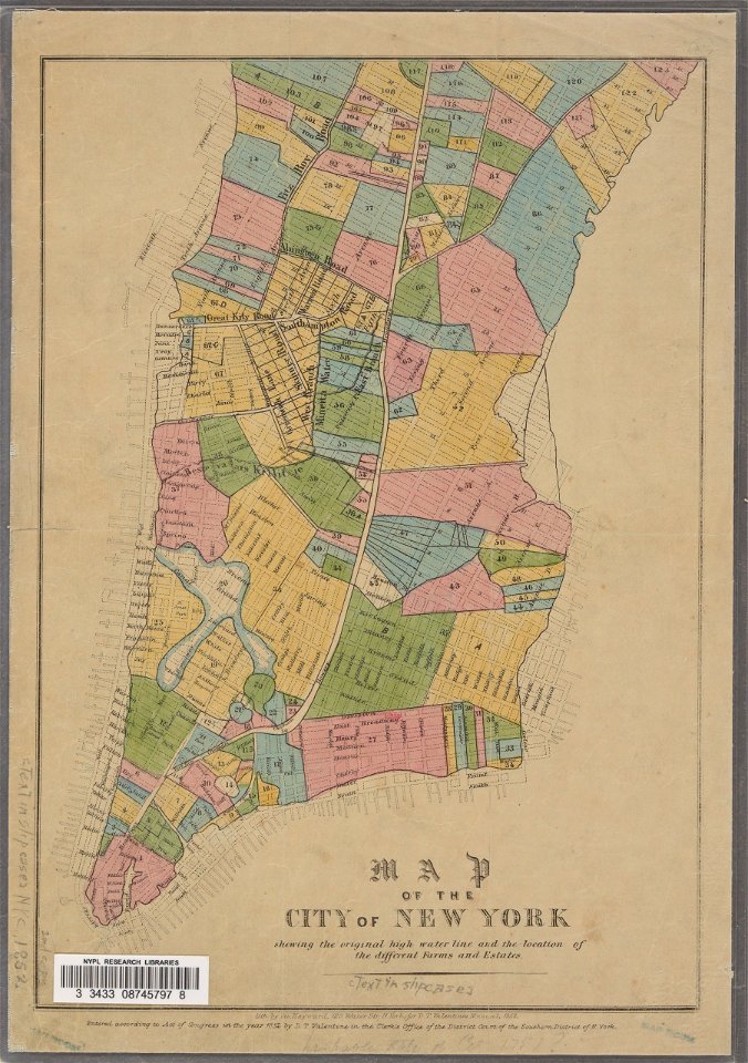
george hayward
new york city
fonds ancely - bibliothèque municipale de toulouse - maps
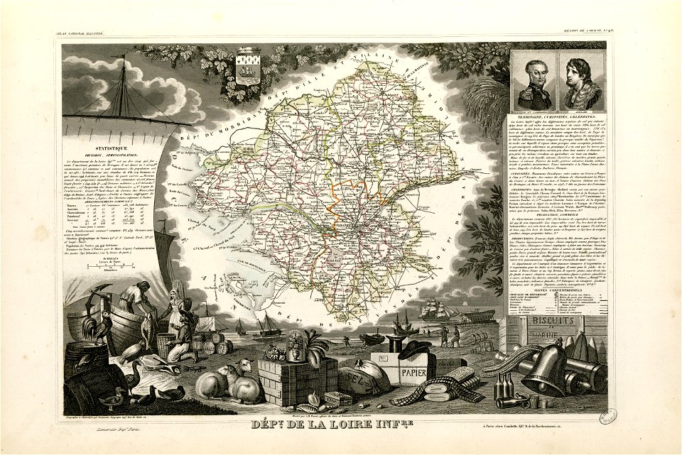
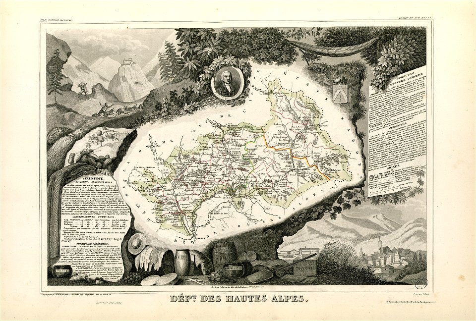
victor levasseur - maps of france
fonds ancely - bibliothèque municipale de toulouse - maps
coats of arms of cities in hautes-alpes
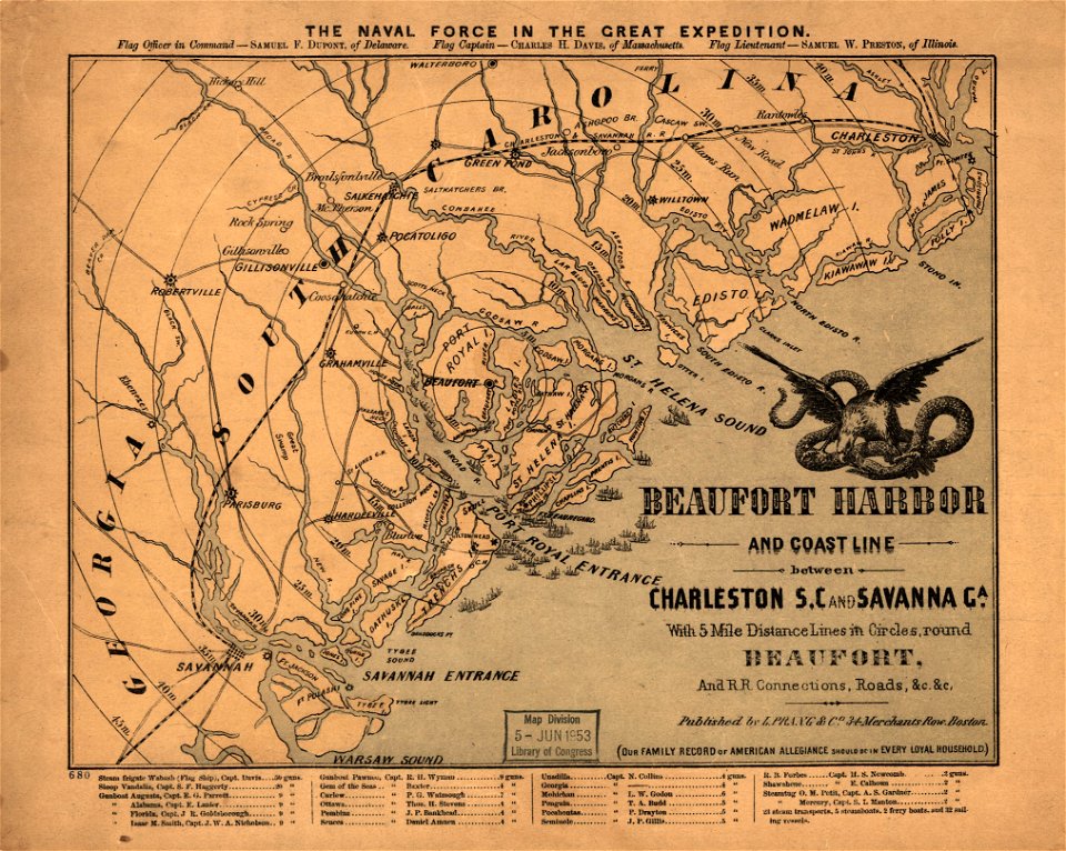
maps in the library of congress
old maps of south carolina
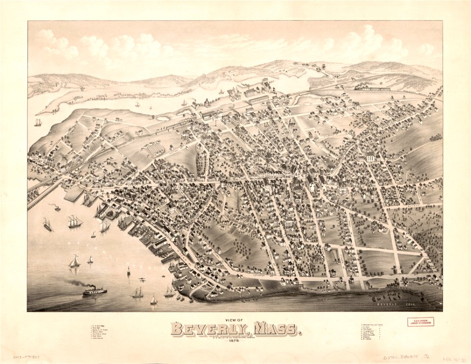
massachusetts
beverly
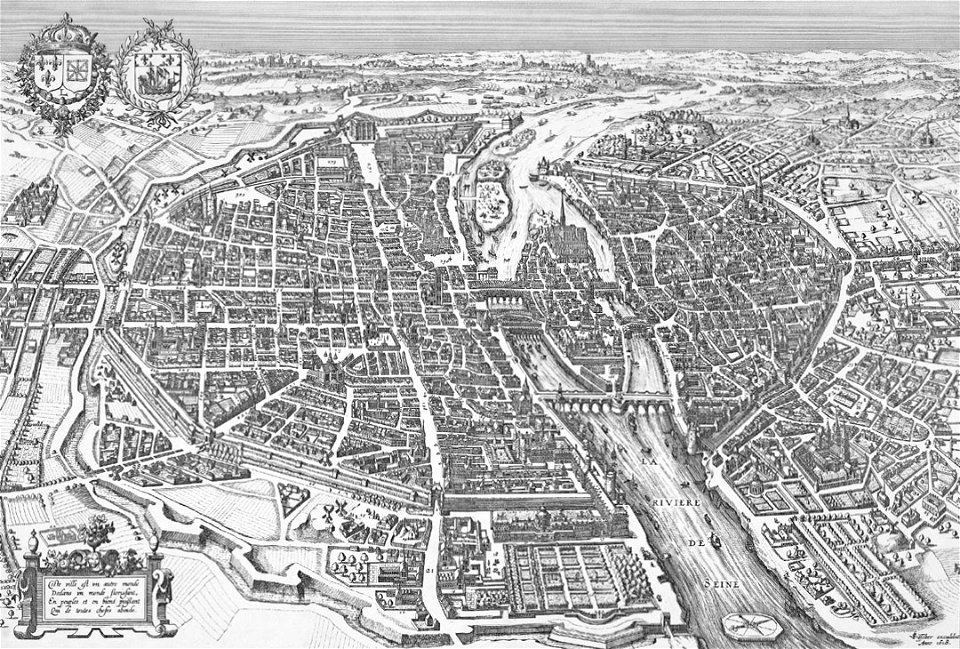
map of paris by claes jansz. visscher
bird's eye view maps of paris
grote kerk
haarlem
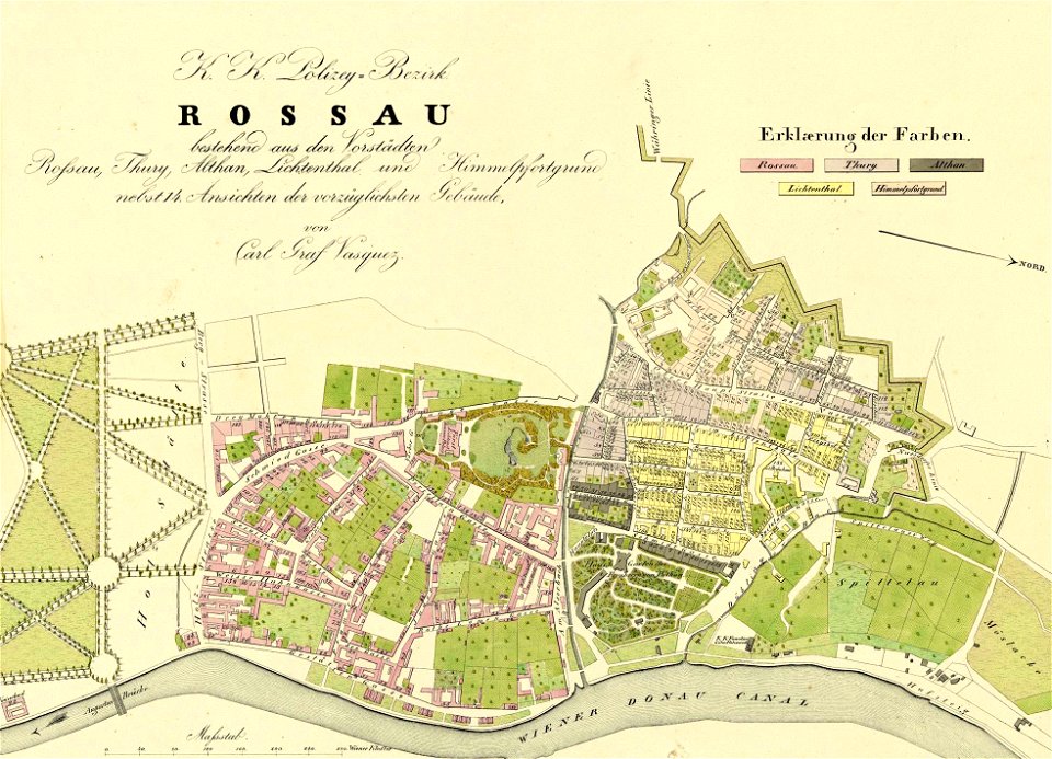
1830 vienna map series by carl graf vasquez
roßau (vienna)
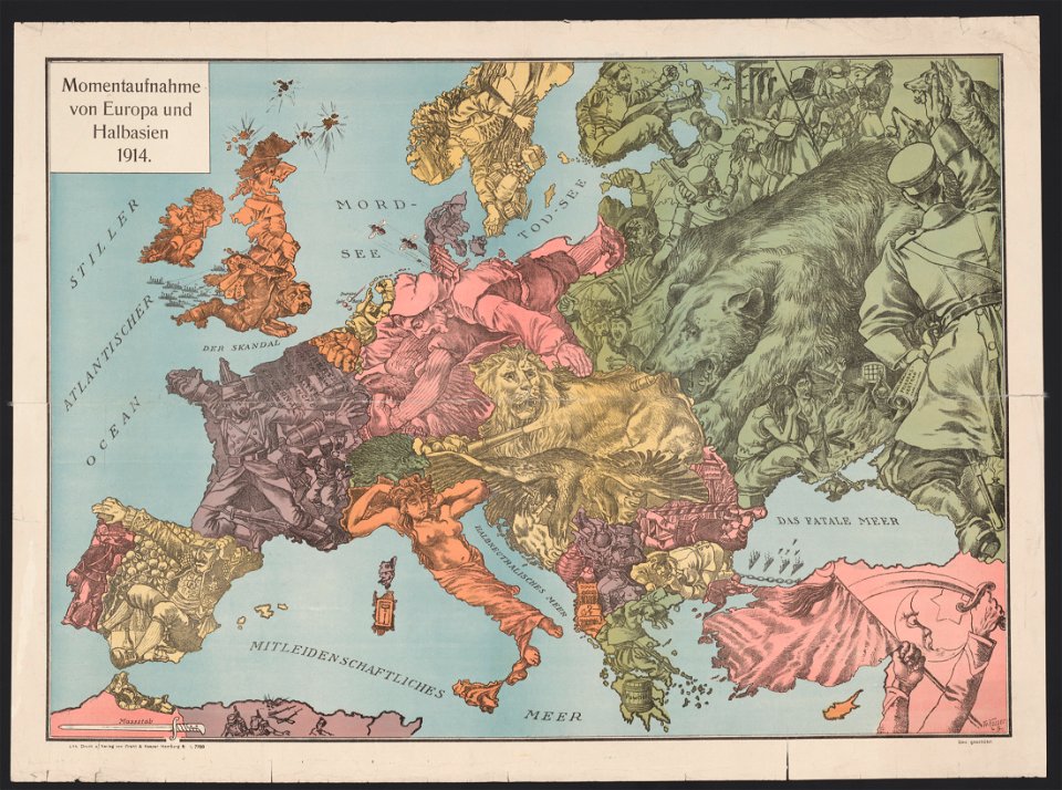
20th-century satirical maps
1914 maps of europe
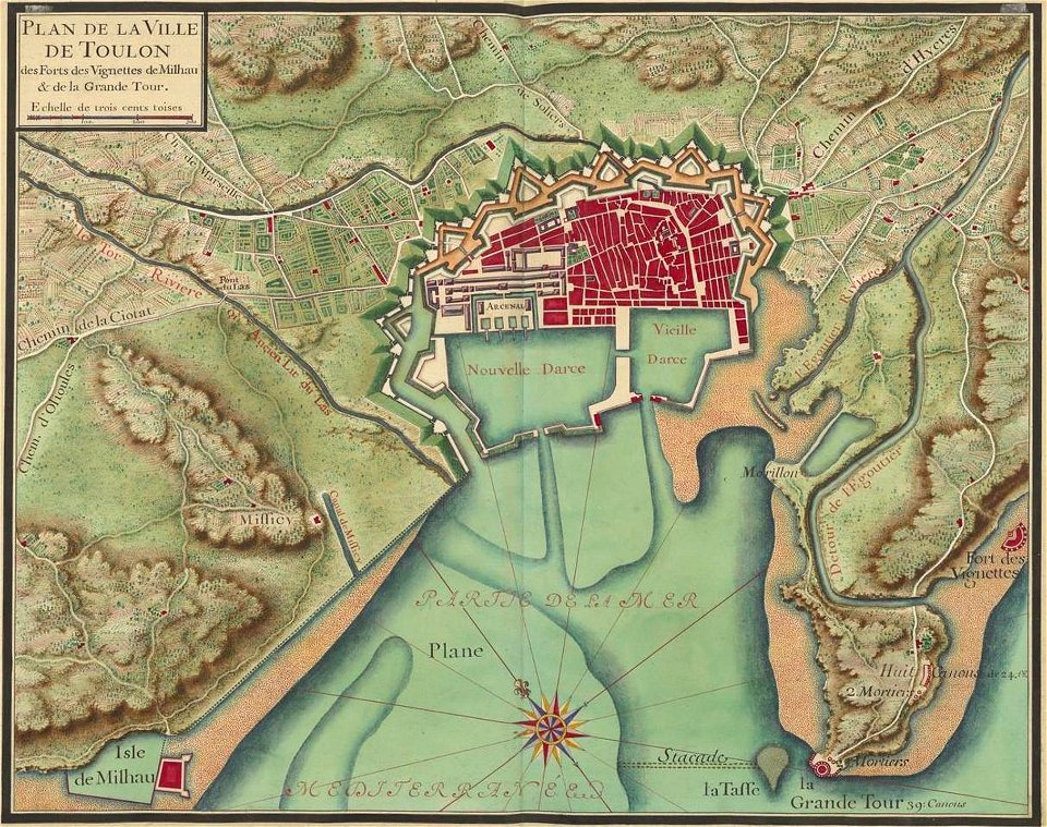
old maps of toulon
toulon naval base
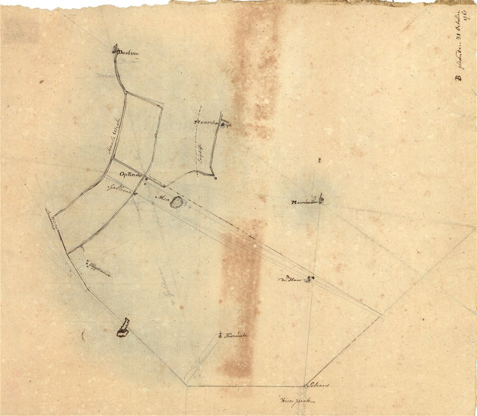
sjallemaheerd (opende)
maps of marum
popular science monthly illustrations/volume 16
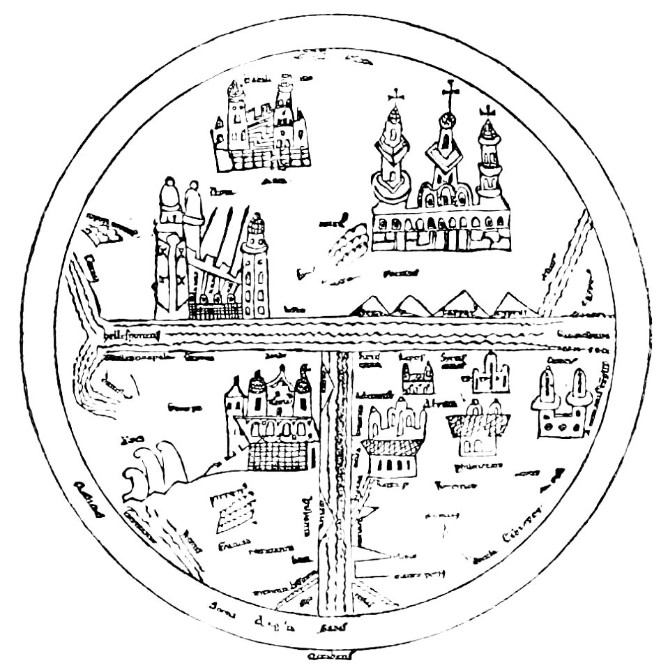
10th-century maps of the world
charts and maps of the royal museums greenwich
1682 maps
maps of the dutch east india company - south africa
1682)
maps of the dutch east india company - india
1672
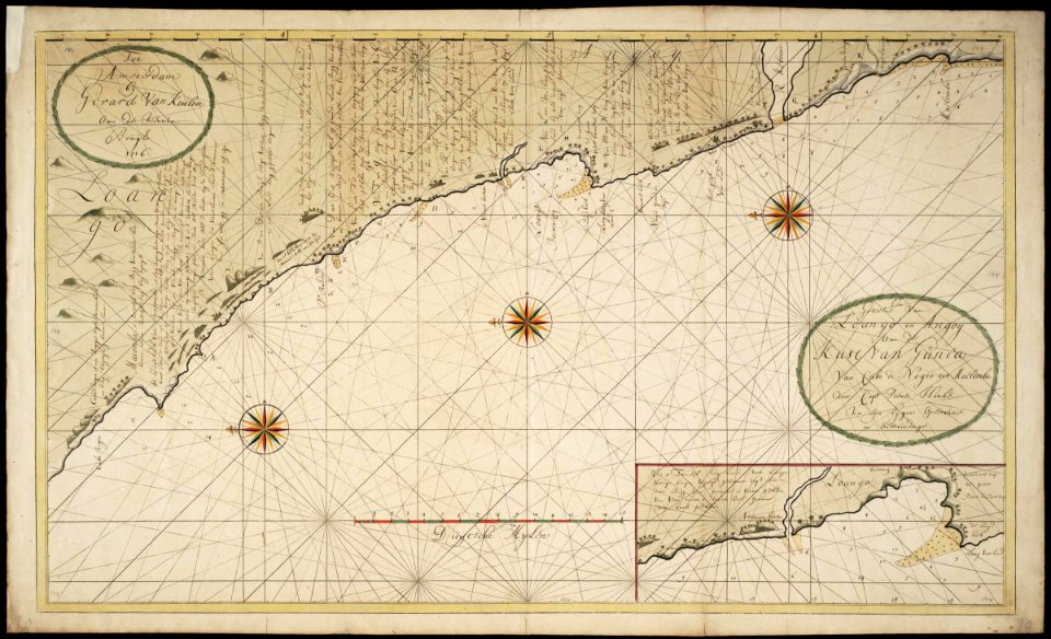
maps of the west-indische compagnie
cornelis goliath
maps of the west-indische compagnie
1716
batavia castle
1753
maps of the dutch east india company - sri lanka
maps of fort fredrick
world war ii in rennes
old maps of rennes
maps of the french and indian war
1768 maps
maps in the stadsarchief amsterdam
carolus allard
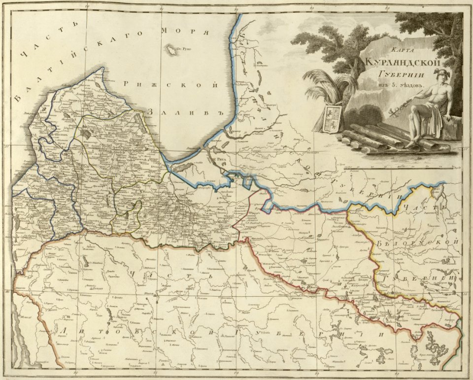
atlas of the russian empire (1800)
old maps of courland governorate
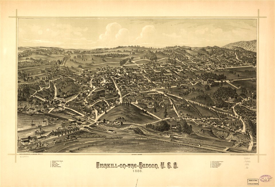
maps in the library of congress
new york
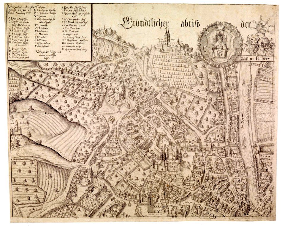
collections of staatsbibliothek bamberg
history of bamberg
a map of the pontine marshes (rcin 912684)
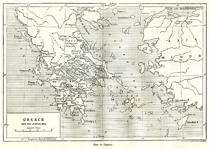
old maps of greece
greek pictures
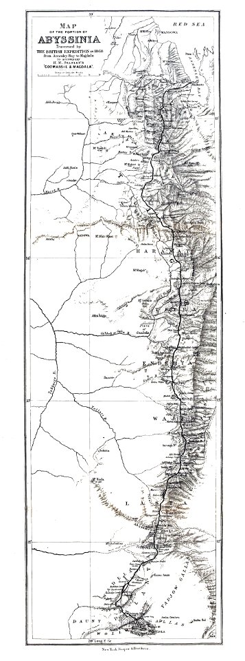
british expedition to abyssinia
henry morton stanley
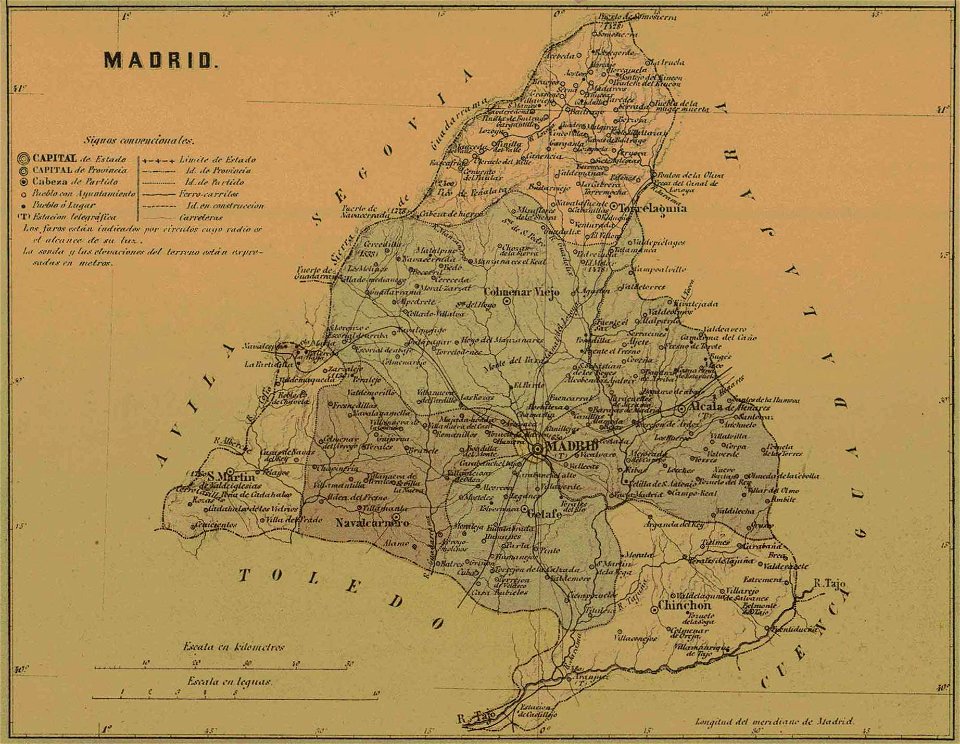
old maps of the community of madrid
1868 maps
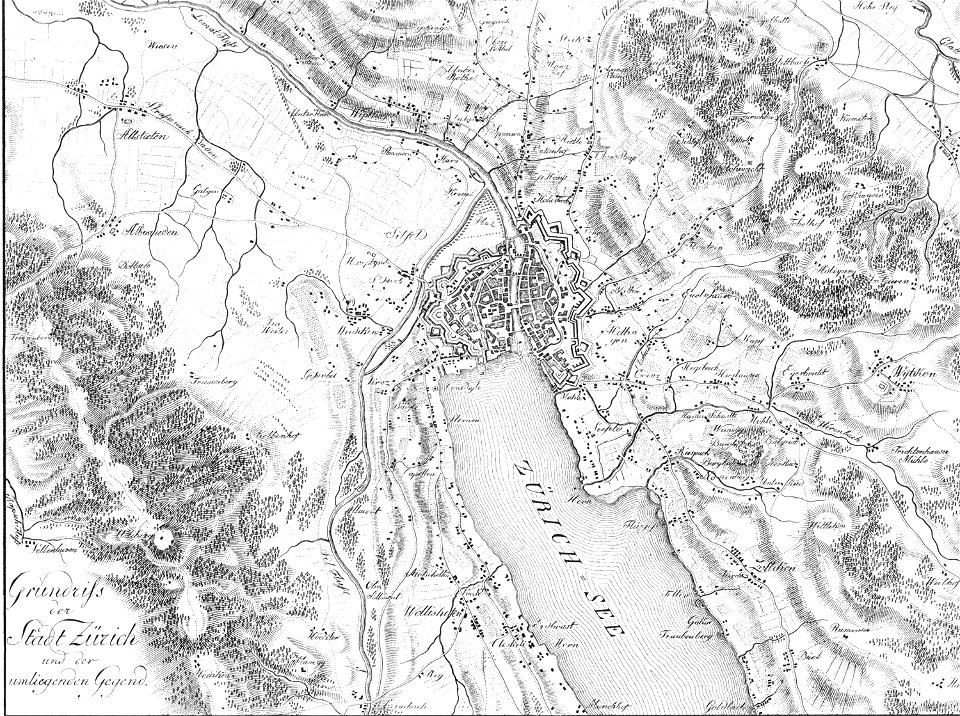
heinrich keller
aussersihl
volume 2 of le tour du monde
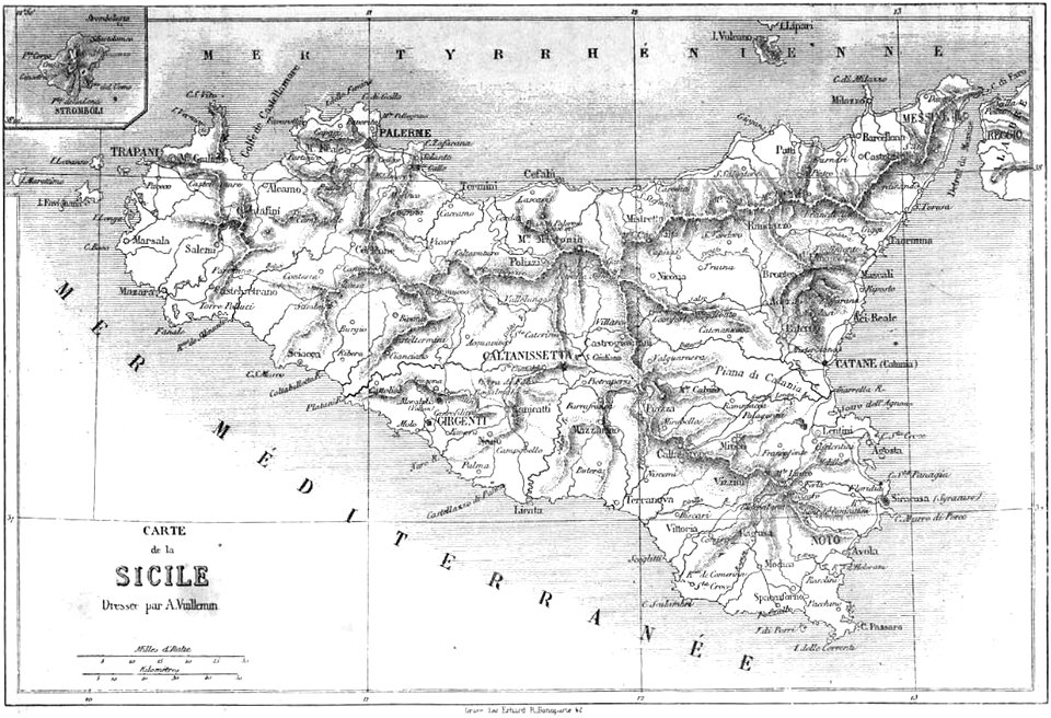
maps by alexandre vuillemin
lithographed maps
1882 lithographs
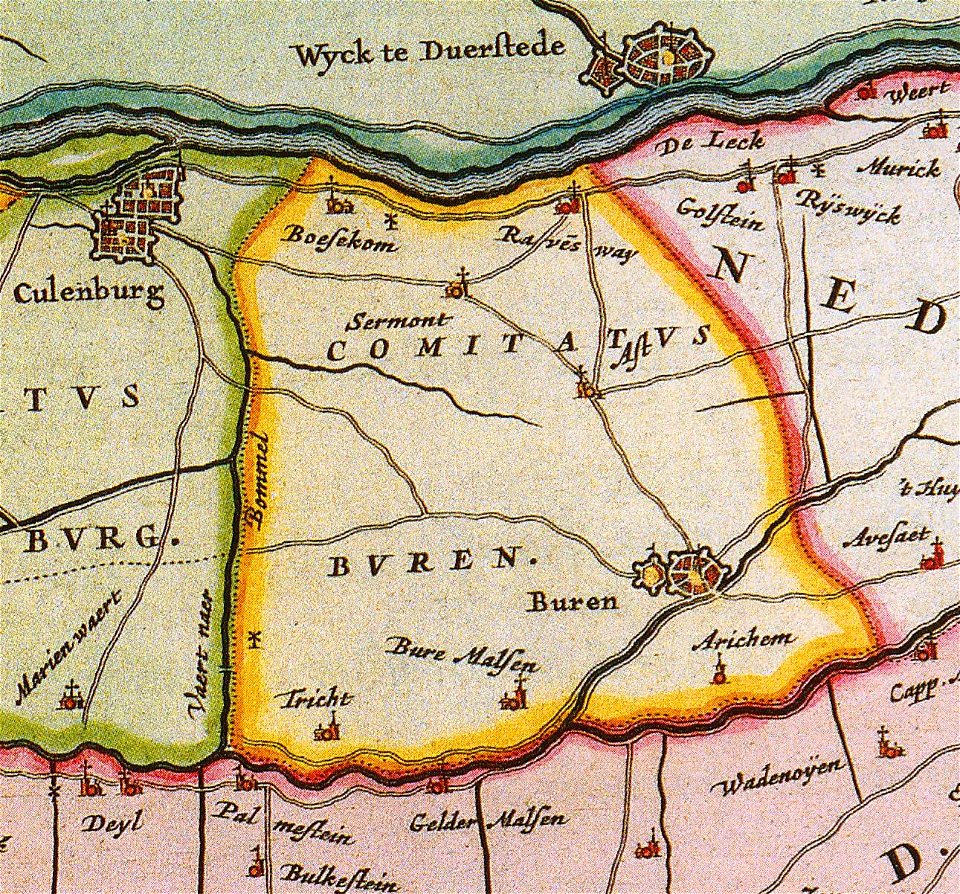
old maps of gelderland
gelderland
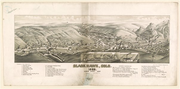
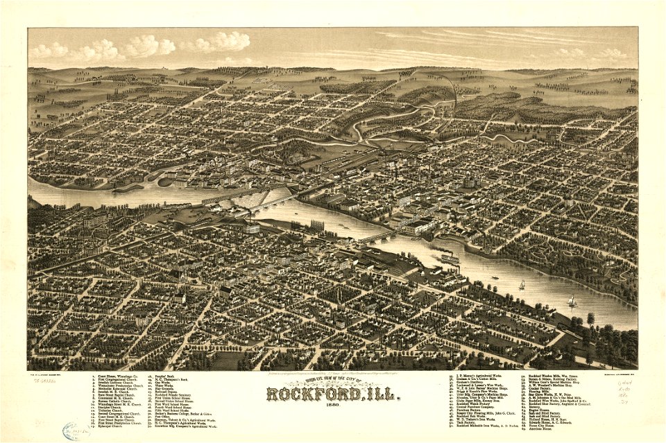
illinois
rockford
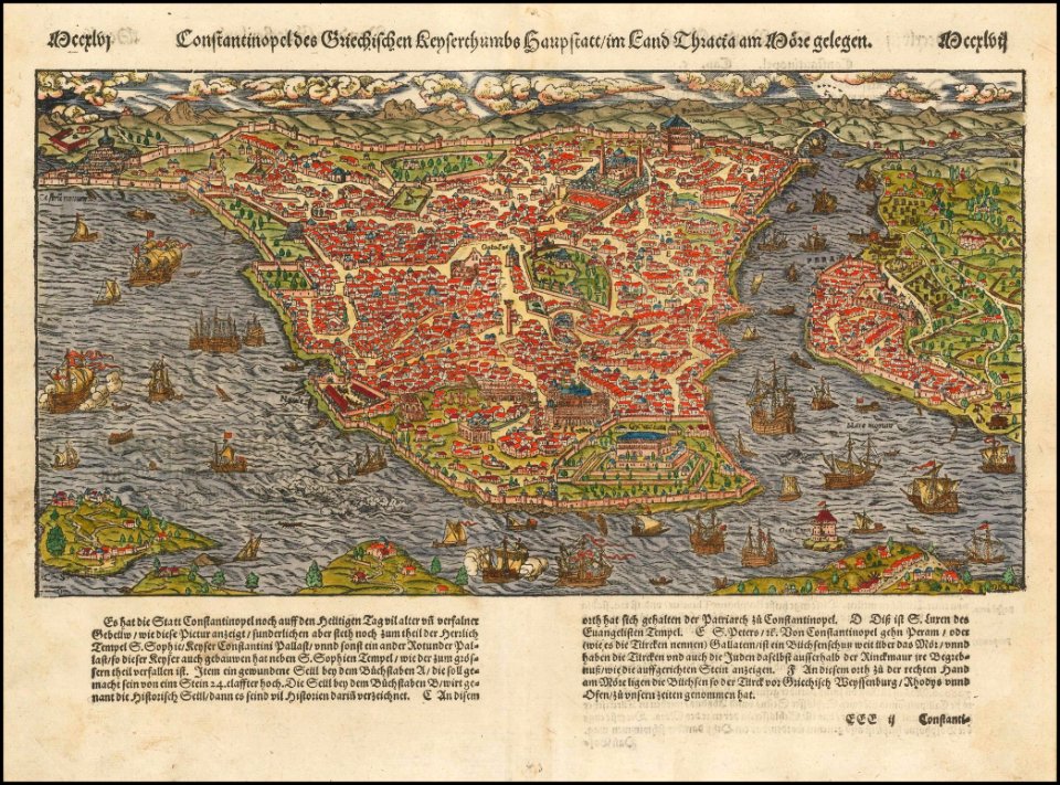
old maps of constantinople
maps by sebastian münster
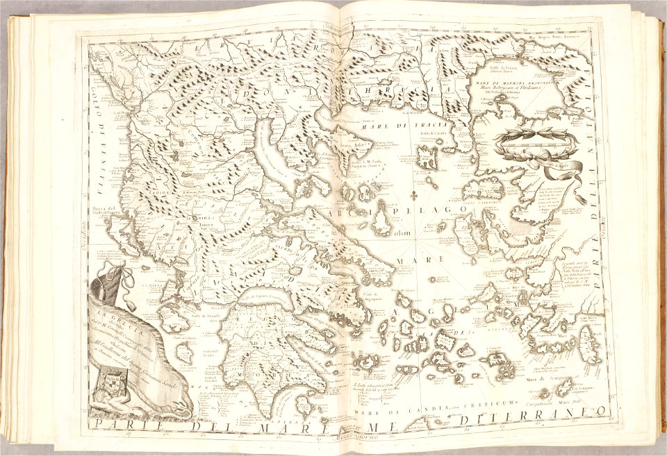
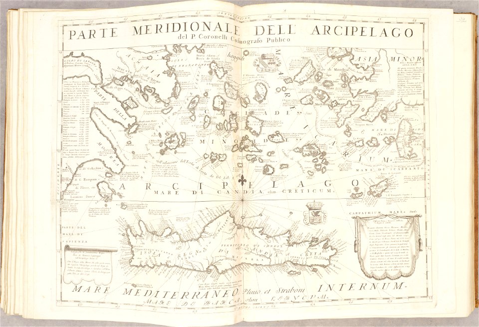
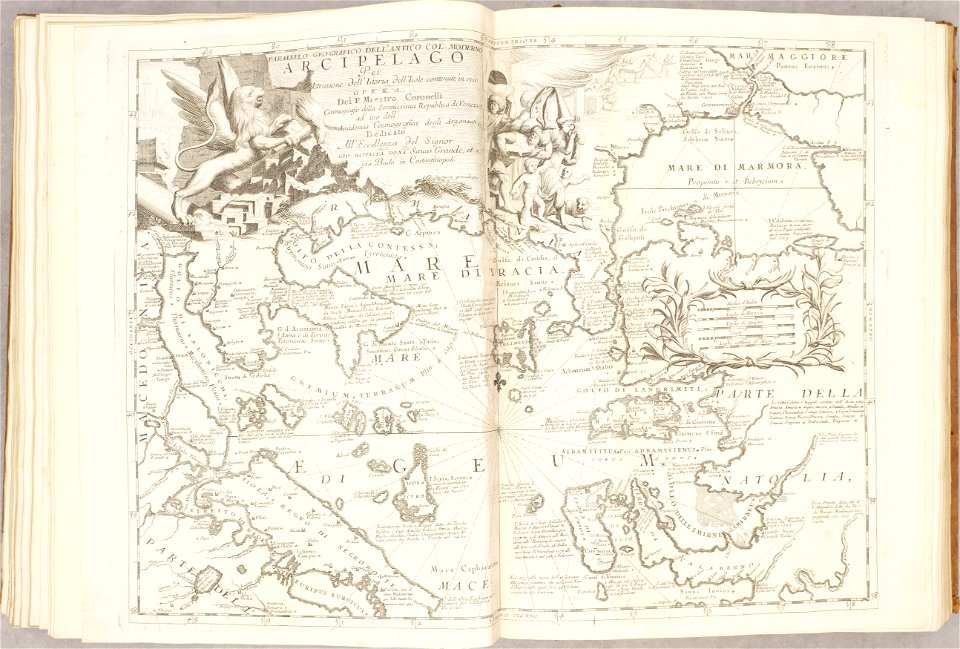
old maps of the aegean sea
old maps of greece
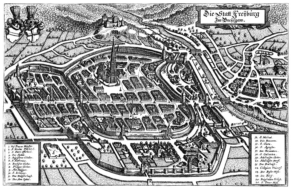
old maps of freiburg im breisgau
1644 maps
1880 maps
new york
maps in the library of congress
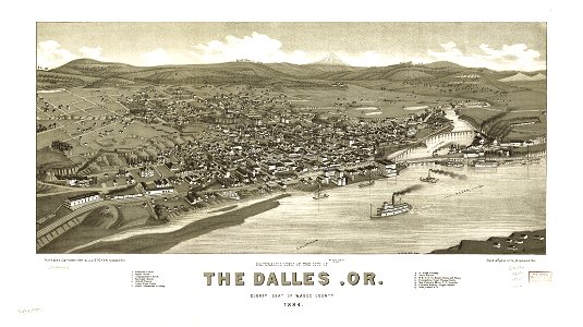
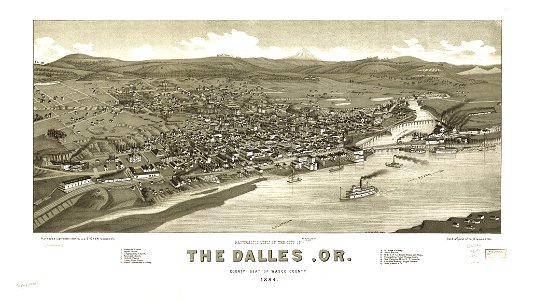
1884 maps of oregon
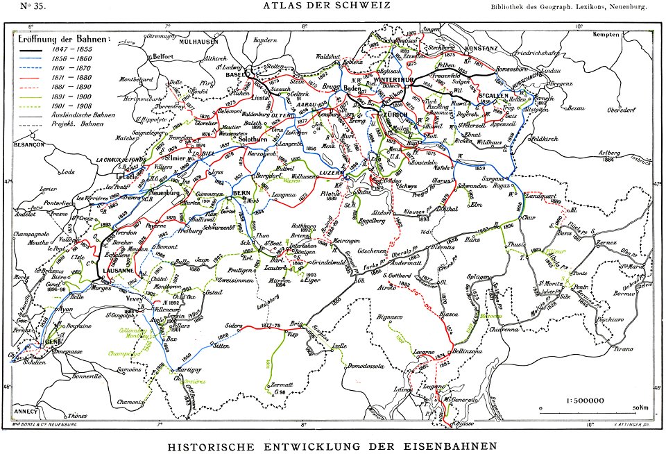
history of rail transport in switzerland
rail transport maps of switzerland
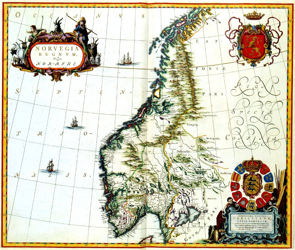
maps with cartouches
joan blaeu
maps with cartouches
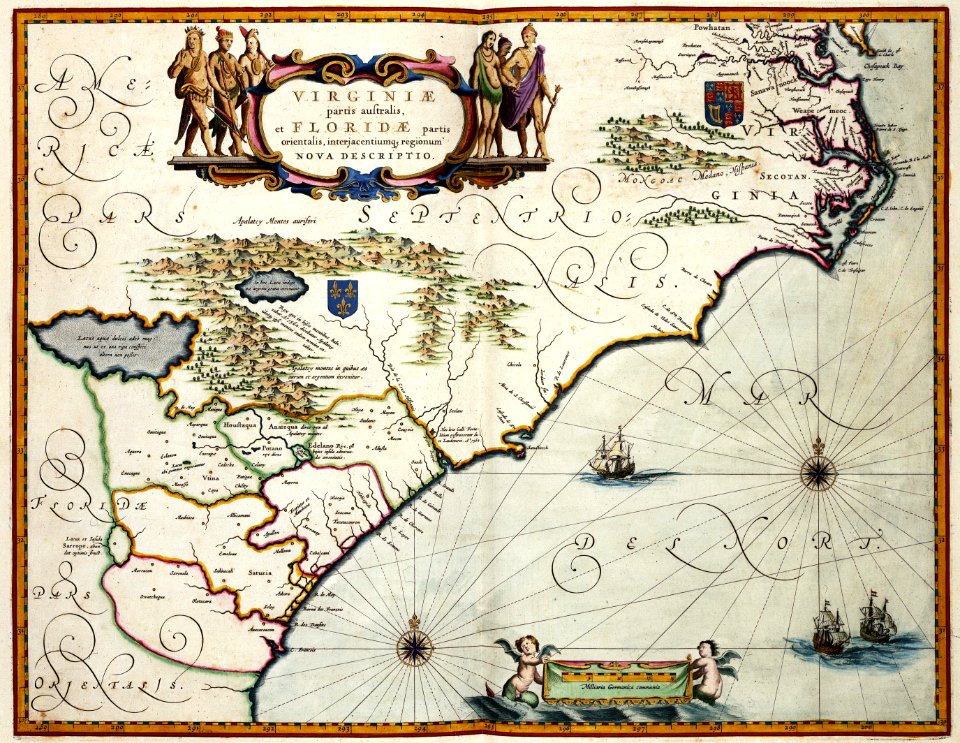
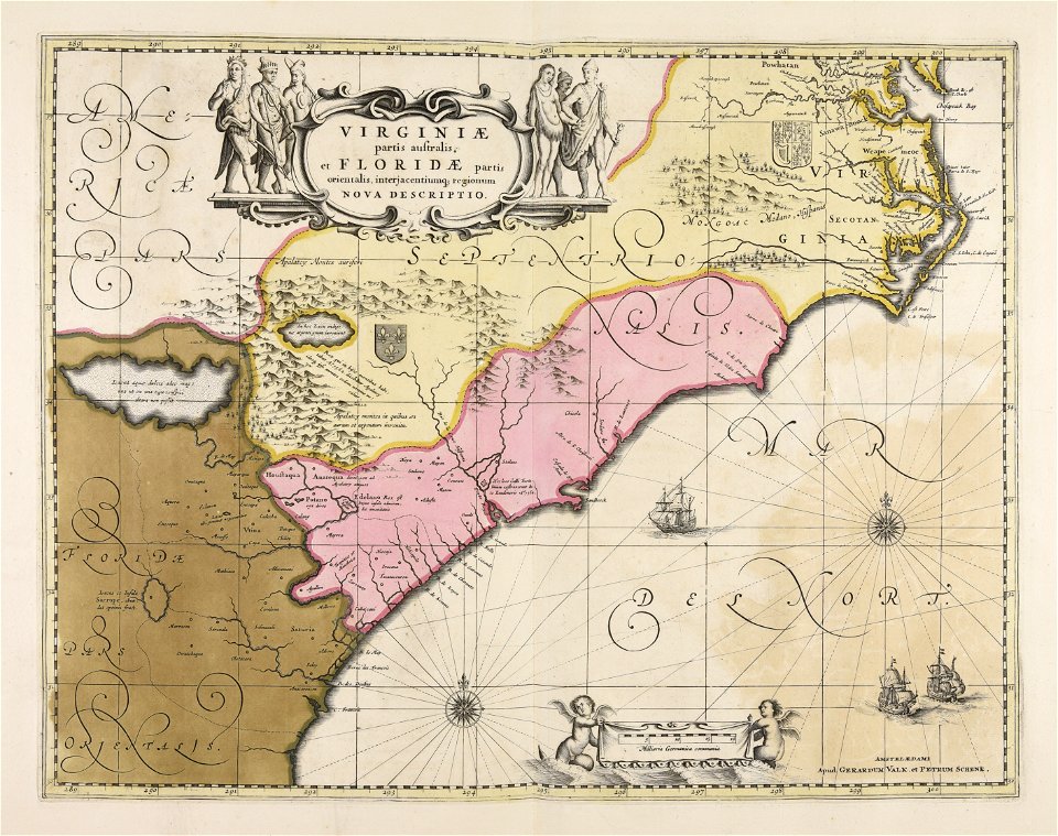
maps of virginia
maps with cartouches
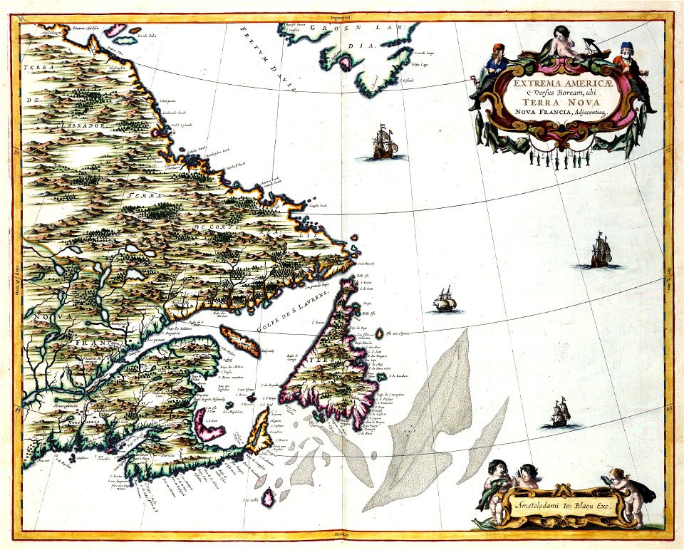
old maps of canada
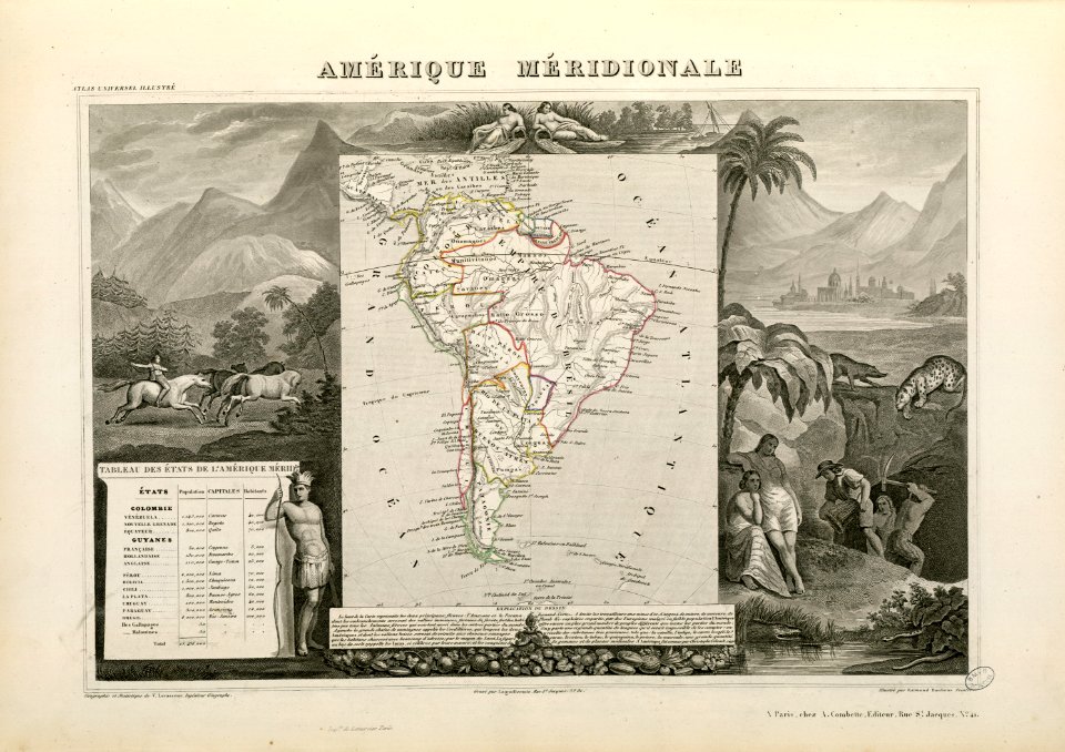
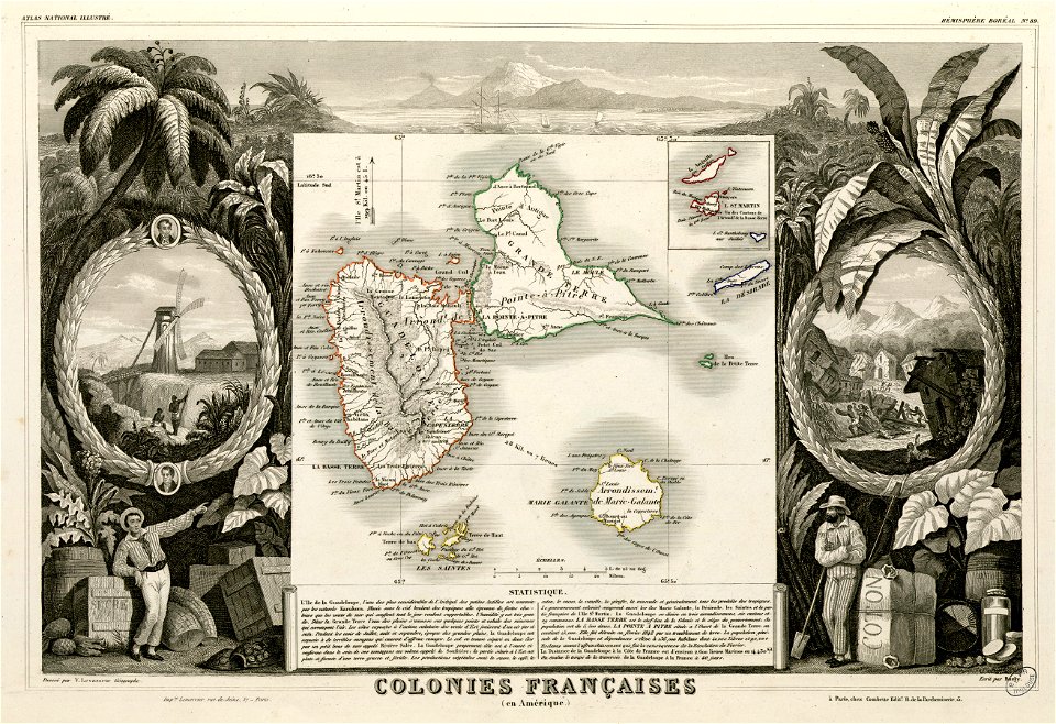
victor levasseur - maps of the world
historical images of arecaceae
maps made in the 18th century
johann baptist homann
maps by nicolaes visscher i
claes jansz. visscher (ii)
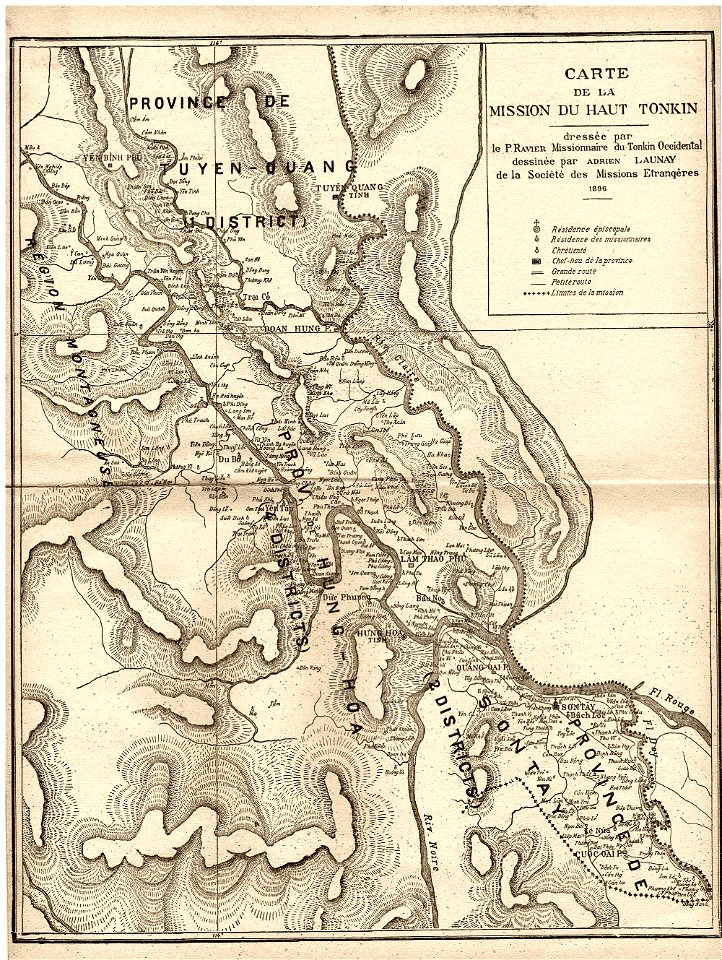
old maps of vietnam
1899
maps made in the 17th century
gerard valck
fonds ancely - bibliothèque municipale de toulouse - maps
victor levasseur - maps of the world
maps made in the 17th century
gerard valck
maps made in the 17th century
gerard valck
fonds ancely - bibliothèque municipale de toulouse - maps
saint vincent de paul
maps made in the 17th century
gerard valck
maps by frederick de wit
copper engraving
battle of brandywine
pennsylvania
battle of brandywine
pennsylvania
maps of the dutch east india company - indonesia
1724
maps of the west-indische compagnie
1747)
maps of the west-indische compagnie
1780
charts and maps of the royal museums greenwich
16th-century maps of the black sea
maps in the library of congress
1862 maps
illinois
rockford
maps in the library of congress
1862 maps
maps from turris babel
by athanasius kircher
old maps of the aegean sea
old maps of crete
maps of the sea of marmara
old maps of the aegean sea
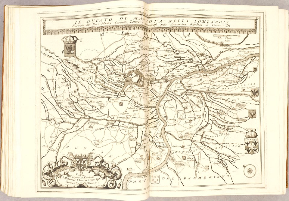
atlante veneto (raremaps.com) volume 2
maps of the duchy of mantua
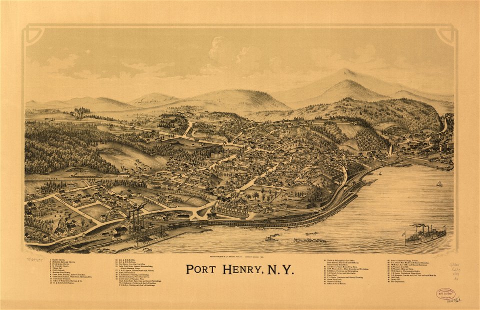
maps in the library of congress
new york
19th-century satirical maps
augusto grossi
popular science monthly illustrations/volume 48
1896 maps
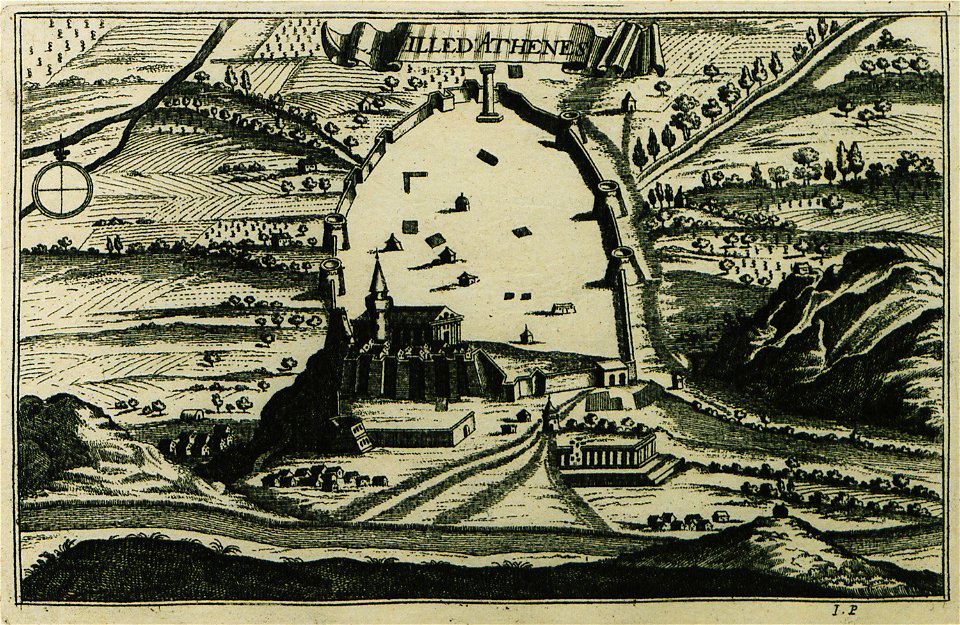
description des principales villes (1690)
old maps of athens
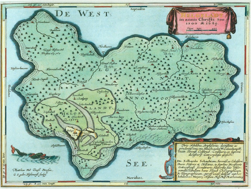
helgeladt in annis christi 800
1300 & 1649
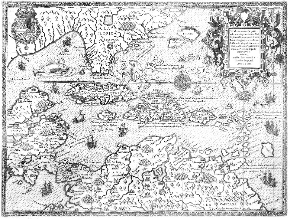
16th-century maps of the caribbean
theodor de bry
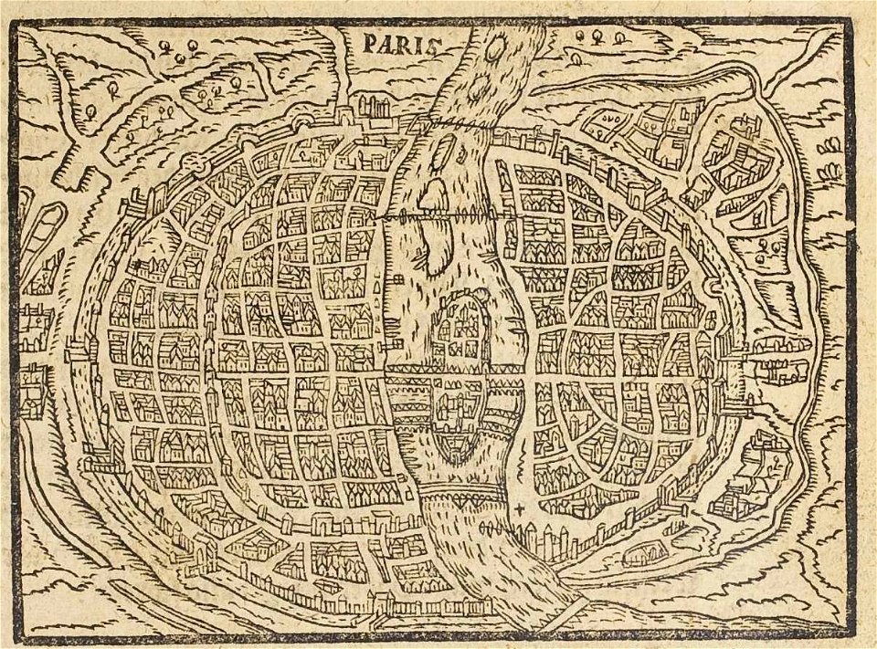
17th-century maps of paris
paris in the 16th century
details of 1830 vienna map series by carl graf vasquez
palais rasumofsky
maps of the eastern theater of the american civil war
old maps of the american civil war
maps in the library of congress
1884 maps of oregon
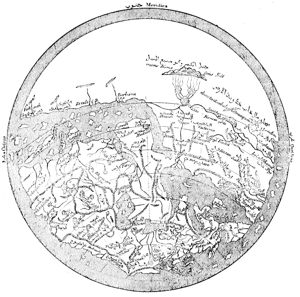
popular science monthly illustrations/volume 16
12th-century maps of the world
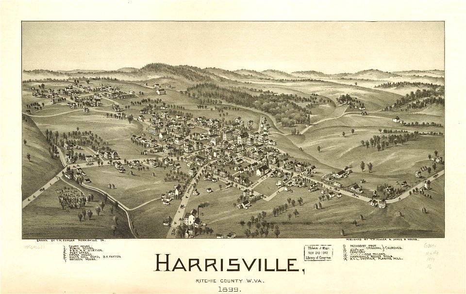
west virginia
harrisville
5201 - 5300 of 38,646
Next page
/ 387