En
Log in
All resources
Create a design
Tools
38,646 Free Artworks of Map
africa in the 1890s
maps of africa
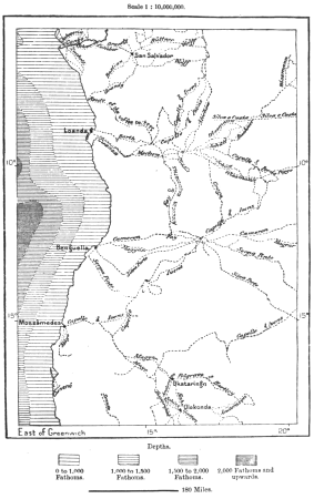
maps from the earth and its inhabitants, vol. xii
maps from the earth and its inhabitants, vol. xiii
bibliothèque nationale de france
eran laor cartographic collection
maps from university of amsterdam special collections
atlas der neederlanden
copperplate print
special collections of the university of amsterdam
old maps of the dutch gold coast
willem cornelis van baarsel
maps from the earth and its inhabitants, vol. xii
africa in the 1890s
maps from the earth and its inhabitants, vol. xi
africa in the 1890s
maps from the earth and its inhabitants, vol. xii
africa in the 1890s
maps from the earth and its inhabitants, vol. xiii
africa in the 1890s
maps from the earth and its inhabitants, vol. xiii
africa in the 1890s
maps from the earth and its inhabitants, vol. xi
africa in the 1890s
maps from the earth and its inhabitants, vol. xii
africa in the 1890s
maps from the earth and its inhabitants, vol. xii
africa in the 1890s
maps from the earth and its inhabitants, vol. xi
africa in the 1890s
maps from the earth and its inhabitants, vol. xiii
africa in the 1890s
maps from the earth and its inhabitants, vol. xiii
maps of africa
africa in the 1890s
maps of africa
africa in the 1890s
maps of africa
maps from the earth and its inhabitants, vol. xii
africa in the 1890s
maps from the earth and its inhabitants, vol. xiii
maps of africa
maps from the earth and its inhabitants, vol. xii
africa in the 1890s
maps from the earth and its inhabitants, vol. xii
africa in the 1890s
maps by willem and johannes blaeu
maps of the wadden sea
maps of catania by braun & hogenberg
1592 maps of italy
1640s maps of the netherlands
maps by nicolaes visscher i
16th-century maps of the western mediterranean
lucas janszoon waghenaer
history of weißenfels
baroque
maps of france by hendrik hondius
old maps of cambrai
old maps of hainaut (province)
1590s maps of belgium
old maps of leiden
baroque
maps of heidelberg by braun & hogenberg
maps of speyer by braun & hogenberg
old maps of the viceroyalty of new spain
1570s maps of mexico
medieval
maps
maps from the earth and its inhabitants, vol. v
maps of scandinavia
maps from the earth and its inhabitants, vol. vii
maps of keelung
maps from the earth and its inhabitants, vol. v
maps of scandinavia
maps from the earth and its inhabitants, vol. ix
maps of tehran
maps from the earth and its inhabitants, vol. ix
maps of tehran
maps from the earth and its inhabitants, vol. viii
maps of india
maps from the earth and its inhabitants, vol. xvii
maps of minneapolis
maps from the earth and its inhabitants, vol. viii
maps of india
dr. wilh. junker's reisen in afrika 1875-1886
bruno hassenstein
interior of midland hotel, morecambe
arts and crafts movement
details of old maps of india
atlas minor
portolan charts by willem and johannes blaeu
old maps of friesland
maps from the earth and its inhabitants, vol. xiii
maps of africa
maps from the earth and its inhabitants, vol. xiii
africa in the 1890s
maps from the earth and its inhabitants, vol. xii
africa in the 1890s
maps from the earth and its inhabitants, vol. xiii
africa in the 1890s
maps from the earth and its inhabitants, vol. xiii
africa in the 1890s
maps from the earth and its inhabitants, vol. xi
africa in the 1890s
maps from the earth and its inhabitants, vol. xii
africa in the 1890s
maps from the earth and its inhabitants, vol. xii
africa in the 1890s
maps from the earth and its inhabitants, vol. xiii
africa in the 1890s
maps from the earth and its inhabitants, vol. xii
africa in the 1890s
maps from the earth and its inhabitants, vol. xii
africa in the 1890s
maps from the earth and its inhabitants, vol. xii
africa in the 1890s
maps from the earth and its inhabitants, vol. xiii
africa in the 1890s
maps from the earth and its inhabitants, vol. xiii
maps of africa
maps from the earth and its inhabitants, vol. xii
africa in the 1890s
maps from the earth and its inhabitants, vol. xiii
maps of africa
maps from the earth and its inhabitants, vol. xiii
africa in the 1890s
maps from the earth and its inhabitants, vol. xiii
africa in the 1890s
eran laor cartographic collection
johann ulrich krauß
18th-century copper engravings
jonas haas
description de l'universe
maps of socotra
perris & browne maps of manhattan published in 1857
neoclassicism
voyages and travels to india, ceylon, the red sea, abyssinia, and egypt, vol. 2
henry cooper (engraver)
danubius pannonico-mysicus
drobeta
celeberrimi fluvii albis nova delineatio by willem janszoon blaeu
old maps of germany from deutsche fotothek
maps of the firth of forth
old maps of fife
eran laor cartographic collection
alexander anderson (illustrator)
eran laor cartographic collection
renaissance
eran laor cartographic collection
william hughes (geographer)
eran laor cartographic collection
joan blaeu
maps from university of amsterdam special collections
atlas der neederlanden
maps from university of amsterdam special collections
atlas der neederlanden
maps from university of amsterdam special collections
atlas der neederlanden
maps from university of amsterdam special collections
atlas der neederlanden
maps from university of amsterdam special collections
atlas der neederlanden
backs of postcards in curt teich postcard archives
postcards of springfield, illinois
maps in the topographia austriacarum (merian)
baroque
proletarian literature
plan de jaillot (1713)
collections of stadsarchief delft
old maps of delft
eran laor cartographic collection
tranquillo mollo
house of arenberg
parks in belgium
eran laor cartographic collection
william hughes (geographer)
eran laor cartographic collection
joris hoefnagel
maps in the rijksmuseum amsterdam
1627 maps
old maps of the nile delta
1850s maps of egypt
shadows of the east; or, slight sketches of scenery, persons and customs, from observations during a tour in 1853 and 1854, in egypt, palestine, syria, turkey, and greece (1855) by tobin
1850s maps of palestine
de praecipvis totivs vniversi vrbibvs, liber secvndvs (1575)
maps of tunis by braun & hogenberg
maps of saint paul's journeys
maps by pieter van der keere
maps from university of amsterdam special collections
atlas der neederlanden
maps from the earth and its inhabitants, vol. xii
africa in the 1890s
maps from the earth and its inhabitants, vol. xii
africa in the 1890s
sheets of stamps of russia, 1997
moscow on stamps
situs terrae promissionis by christian van adrichom
eran laor cartographic collection
maps from the earth and its inhabitants, vol. x
maps of uganda
maps from the earth and its inhabitants, vol. xiv
maps of australia
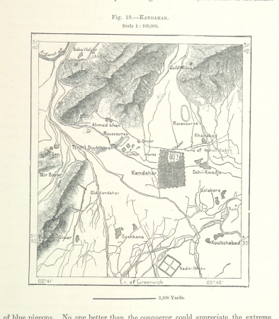
maps from the earth and its inhabitants, vol. ix
maps of kandahar
maps from the earth and its inhabitants, vol. ix
maps of the tigris
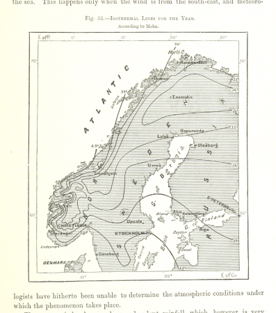
maps from the earth and its inhabitants, vol. v
maps of scandinavia
maps from the earth and its inhabitants, vol. iii
maps of the rhine
18001 - 18100 of 38,646
Next page
/ 387