En
Log in
All resources
Create a design
Tools
38,646 Free Artworks of Map
eran laor cartographic collection
maps of africa
africa in the 1890s
latin-language maps
frans hogenberg
maps from the earth and its inhabitants, vol. xii
maps by willem and johannes blaeu
paper
baroque
maps in the british museum
maps of spain by tomas lopez
maps of zamora
old maps of china in harvard map collection
1749 maps of asia
nuremberg in the 1650s
baroque
maps of aegadian islands
the odyssey (butler)
old maps of siberia
erik palmqvist
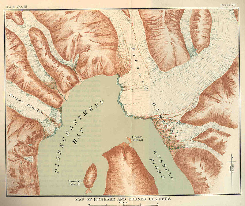
glaciers and glaciation (1910)
hubbard glacier
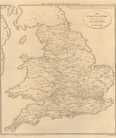
19th-century maps of england and wales
maps in the british museum
eran laor cartographic collection
jacques-philippe le bas
1660s maps of spain
1667 maps
de nieuwe en onbekende weereld
1671 illustrations
gemeente atlas van nederland - south holland
1860s maps of south holland
gemeente atlas van nederland - south holland
1860s maps of south holland
maps of lidingö
1774 in sweden
amérique méridionale (1748, d'anville)
rococo
miniature speed atlas (1627) pieter van den keere
county maps of england by john speed
17th-century maps of southeast asia
description de l'universe
novus atlas sinensis
old maps of shanxi
maps from the earth and its inhabitants, vol. xii
africa in the 1890s
maps from the earth and its inhabitants, vol. xii
maps of africa
maps from the earth and its inhabitants, vol. xi
africa in the 1890s
maps from the earth and its inhabitants, vol. xii
africa in the 1890s
maps from the earth and its inhabitants, vol. xii
maps of africa
maps of polders in south holland
old maps of westland
maps from the earth and its inhabitants, vol. xi
1800s maps of algeria
maps from the earth and its inhabitants, vol. xiii
africa in the 1890s
maps from valentine's manual
george hayward
maps by girolamo porro
1596 maps of africa
maps by willem and johannes blaeu
old maps of sneek
old maps of the hague
old maps of delfland
maps by willem and johannes blaeu
maps of szolnok
maps of philippeville by braun & hogenberg
maps of chimay by braun & hogenberg
algeria in the 1880s
old maps of oran
maps of lübeck by braun & hogenberg
eran laor cartographic collection
maps from the earth and its inhabitants, vol. xiii
africa in the 1890s
history of sherbrooke (quebec)
1881 in quebec
maps of vienna by braun & hogenberg
eran laor cartographic collection
propaganda map
1529 maps
1680s maps of grand duchy of lithuania
guillaume le vasseur de beauplan
gardens in north rhine-westphalia
romanticism
curt teich postcard archives
postcards of arizona
the geographical distribution of animals (book)
neotropic
maps in the british museum
james basire
maps in the british museum
james basire
map collection of leibniz-institut für ost- und südosteuropaforschung
18th-century maps of siberia
historisk atlas (stockholm, norstedt & söner, 1880)
maps of 14th-century europe
1580s maps of the world
1589 maps
turgot map of paris – derivative files
bastille
gemeente atlas van nederland - south holland
maps of krimpen aan de lek
media contributed by cleveland public library
georg widmann
maps by emanuel bowen
britannia depicta
the geographical distribution of animals (book)
maps of ecozones
maps of kodagu district
old maps of india
gemeente atlas van nederland - north holland
maps of bergen, north holland
old maps of île saint-louis
jean-baptiste scotin
1804 maps of europe
maps by john cary
maps of europe by mercator-hondius
ateliers bmb mercator
maps of amersfoort by braun & hogenberg
maps by jan janssonius
maps in the library of congress
1882 maps of new york (state)
maps by willem and johannes blaeu
ships on maps
somalia in the 15th century
1459
topographia westphaliae (merian)
baroque
maps by alain manesson-mallet
1685 maps
maps of lisbon by braun & hogenberg (1572)
maps of cascais by braun & hogenberg
maps from géographie illustrée de la france et de ses colonies
orientalist painting
19th-century maps of ille-et-vilaine
1847 maps of france
19th-century maps of ghana
thomas edward bowdich
maps of the new york and new jersey campaign
maps showing 1776
17th-century maps of rotterdam
old maps of delfland
eran laor cartographic collection
latin-language maps
maps of prague by braun & hogenberg
eran laor cartographic collection
maps of bourges by braun & hogenberg
eran laor cartographic collection
the geographical distribution of animals (book)
indomalayan fauna
18th-century maps of korea
nouvel atlas de la chine
propaganda map
1529 maps
old maps of the tuamotus
old maps of polynesia
maps of the caribbean by mercator-hondius
details of old maps
confluence of the seine and marne rivers
plan de roussel - derivative files
maps by willem and johannes blaeu
1634 maps
old maps of the ionian islands
the odyssey (butler)
maps of ghent by braun & hogenberg
17th-century maps of south asia
maps by alexis-hubert jaillot
maps of rotterdam by berckenrode
maps of haringvliet (rotterdam)
16th-century maps of london
maps of old london (book)
16th-century maps of london
maps of old london (book)
maps of konstanz by braun & hogenberg
eran laor cartographic collection
map of moscow by matthäus merian
baroque
charles eugène perron
old maps of trabzon
maps from the earth and its inhabitants, vol. xii
africa in the 1890s
hendrik van langren map of south asia
1590s maps of india
maps of werkendam
maps of dussen
maps from the mechanical curator collection available to georeference
maps from the mechanical curator collection
maps by wilhelm maximilian carpelan
gröndal, maps
john rocque 1746 london map (a1-h3)
john rocque's map of london, 1746
turgot map of paris, kyoto university library – derivative files
maps of palais de l'élysée
1700s maps of the world
le neptune francois
media from accademia delle scienze di torino
1620s maps of italy
eran laor cartographic collection
pierre françois tardieu
copper engravings in the universitätsbibliothek salzburg
wolf-dietrich-klebeband städtebilder
cartes de franz schrader
old maps of france
1570s maps of russia
frans hogenberg
13901 - 14000 of 38,646
Next page
/ 387