En
Log in
All resources
Create a design
Tools
38,646 Free Artworks of Map
maps in the library of congress
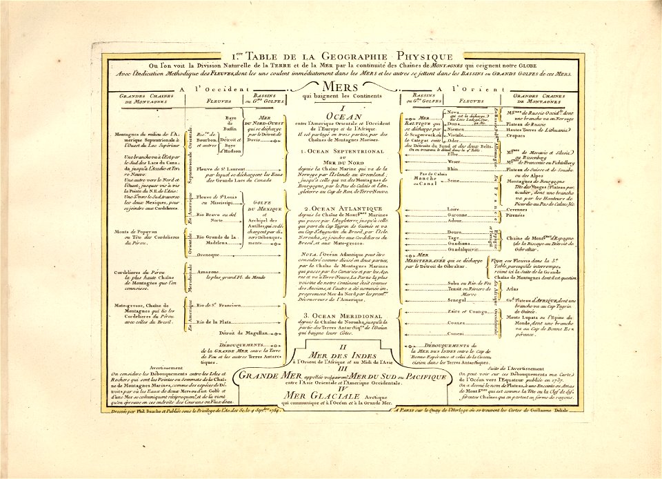
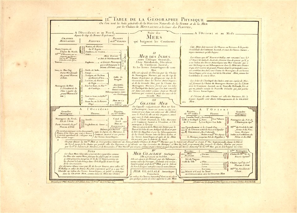
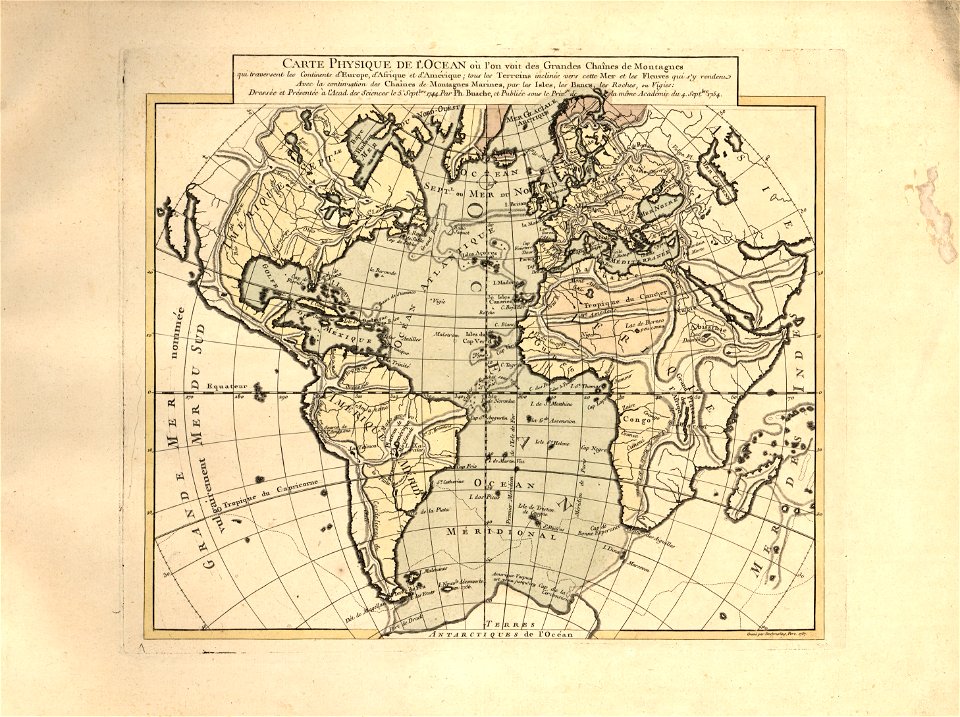
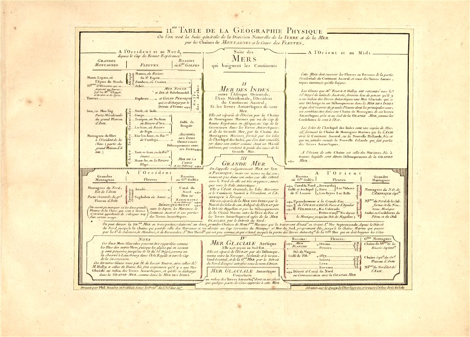
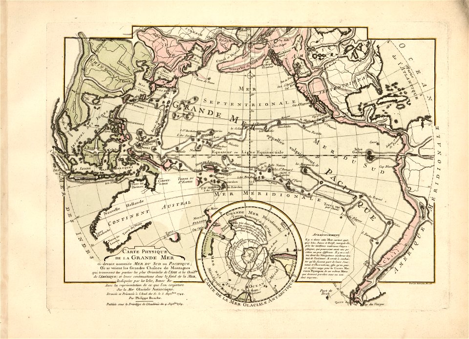
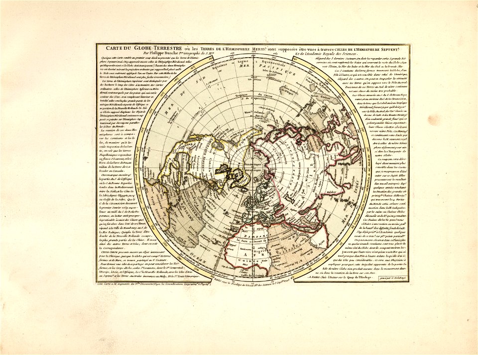
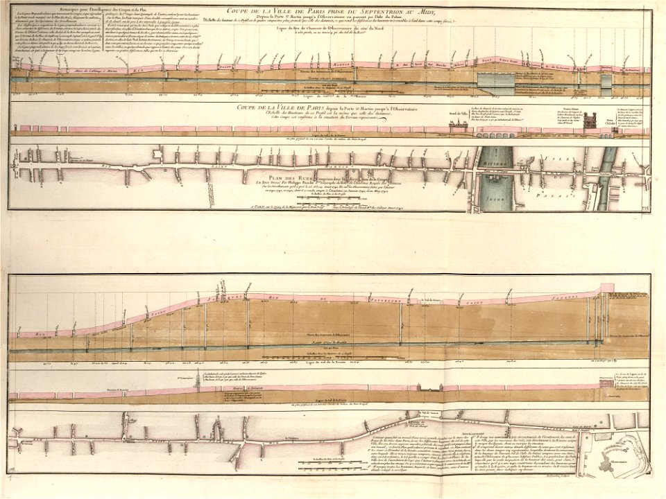
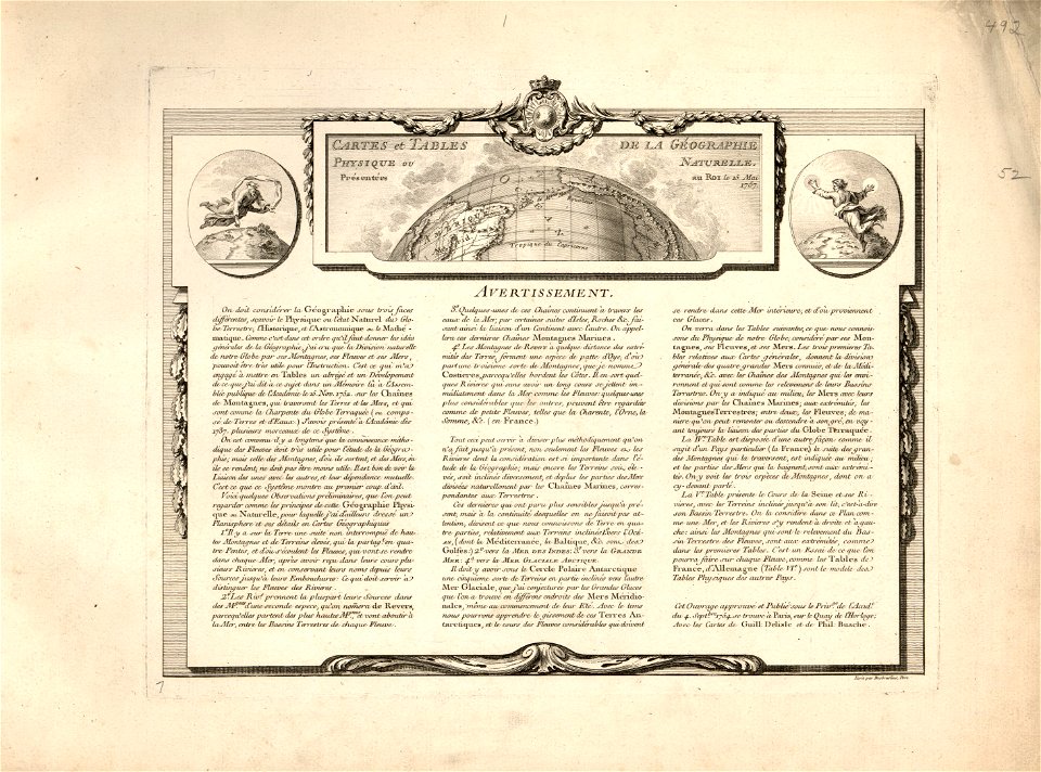
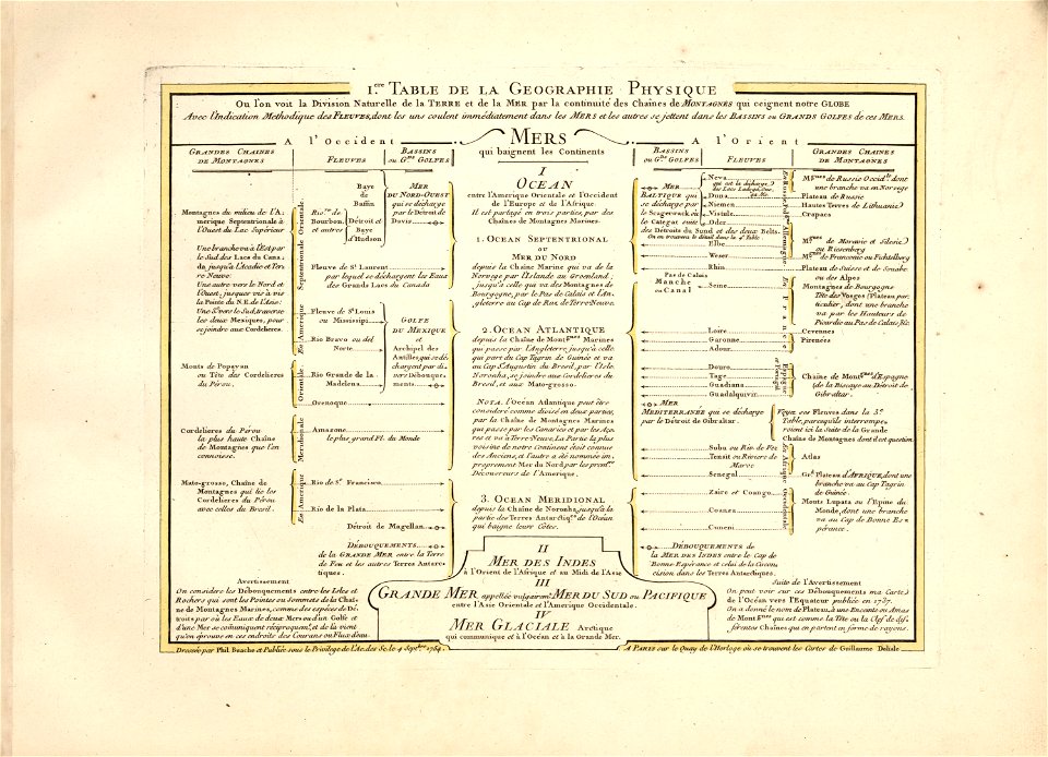
cartes et tables de la géographie physique ou naturelle
western europe
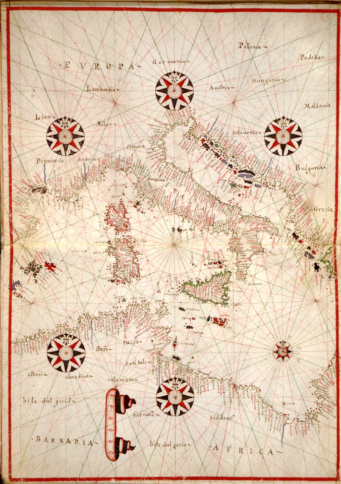
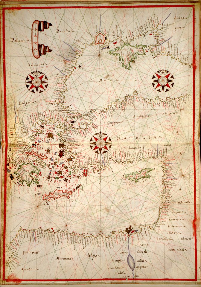
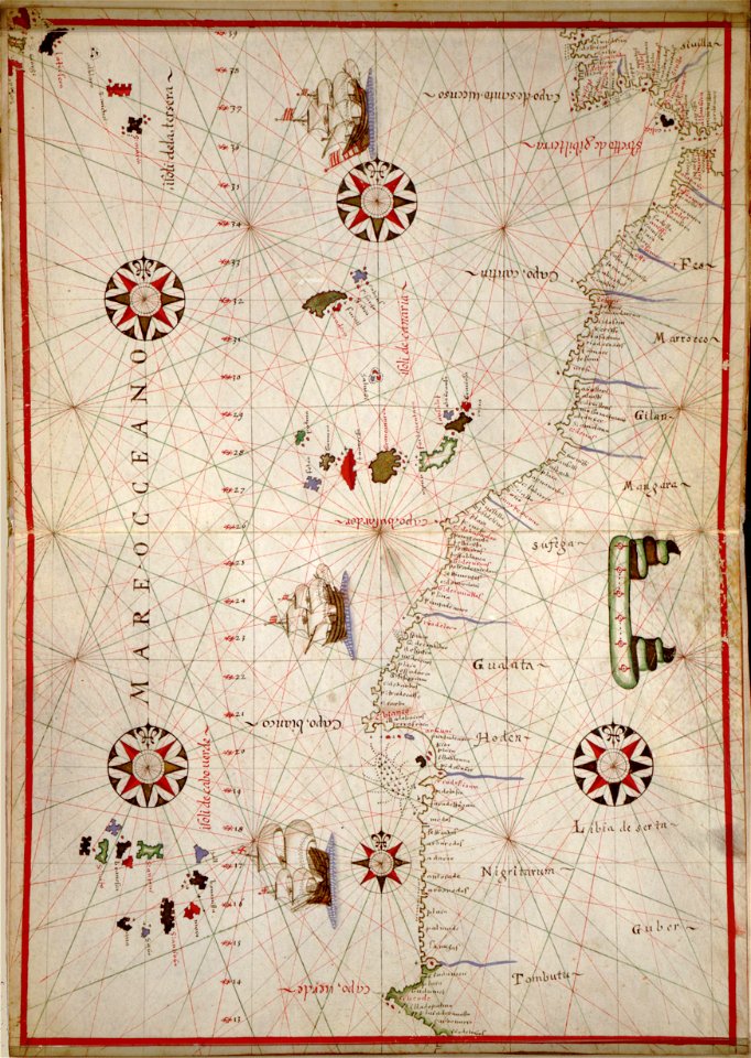
portolan atlas of the mediterranean sea
and the northwest coast of africa
maps made in the 17th century
pages using map template with incorrect parameter
nieuwe hollandse scheeps-bouw (1695)
atlantis magni tomus quintus (biblioteca comunale di trento)
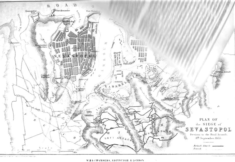
pictorial history of the russian war 1854-5-6 by george dodd
cartes et tables de la géographie physique ou naturelle
maps in the library of congress
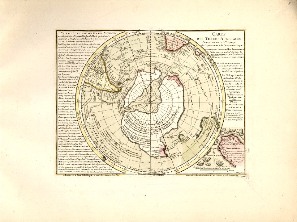
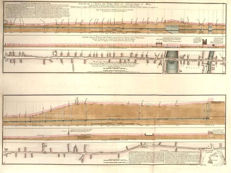
cartes et tables de la géographie physique ou naturelle
maps in the library of congress
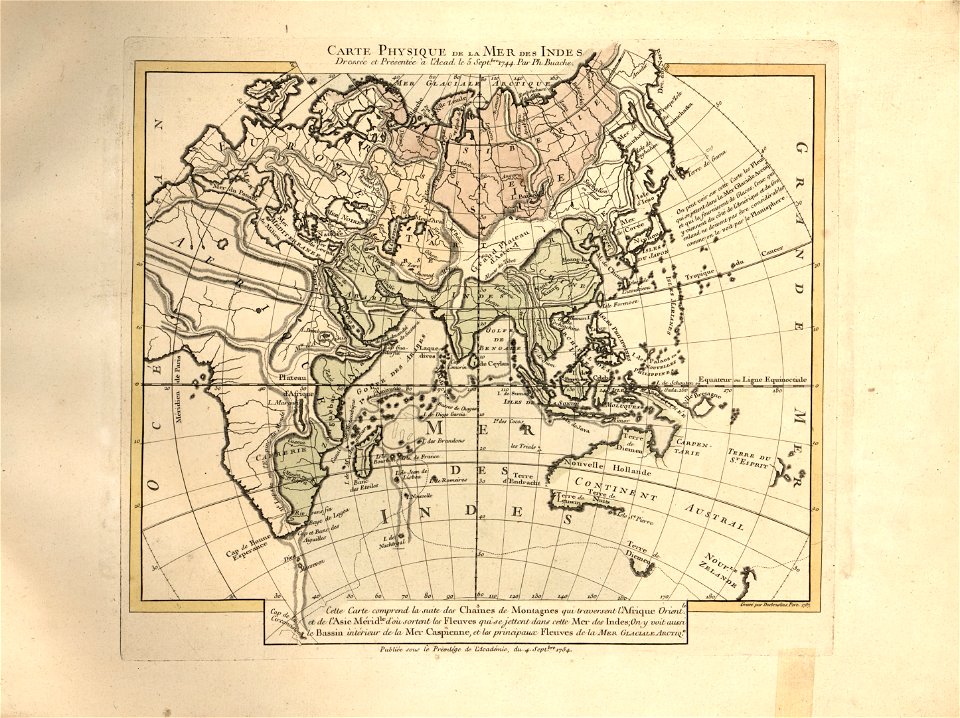
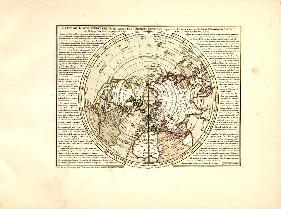
cartes et tables de la géographie physique ou naturelle
maps in the library of congress
cartes et tables de la géographie physique ou naturelle
maps in the library of congress
drawings by samuel de champlain
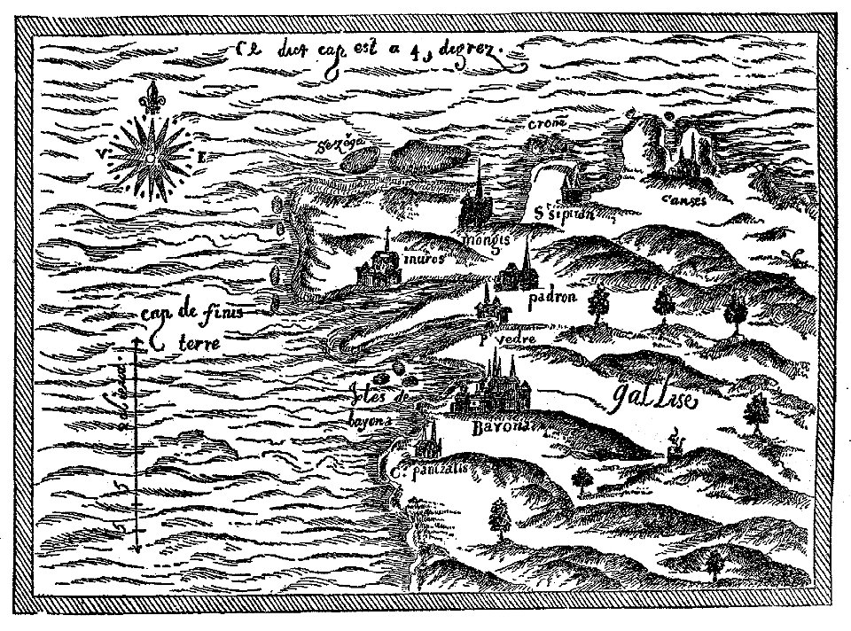
old maps of galicia (spain)
maps in the library of congress
western europe
maps in the library of congress
western europe
maps in the library of congress
western europe
maps in the library of congress
western europe
pictorial history of the russian war 1854-5-6 by george dodd
old maps of sevastopol
geographical illustrations by coronelli
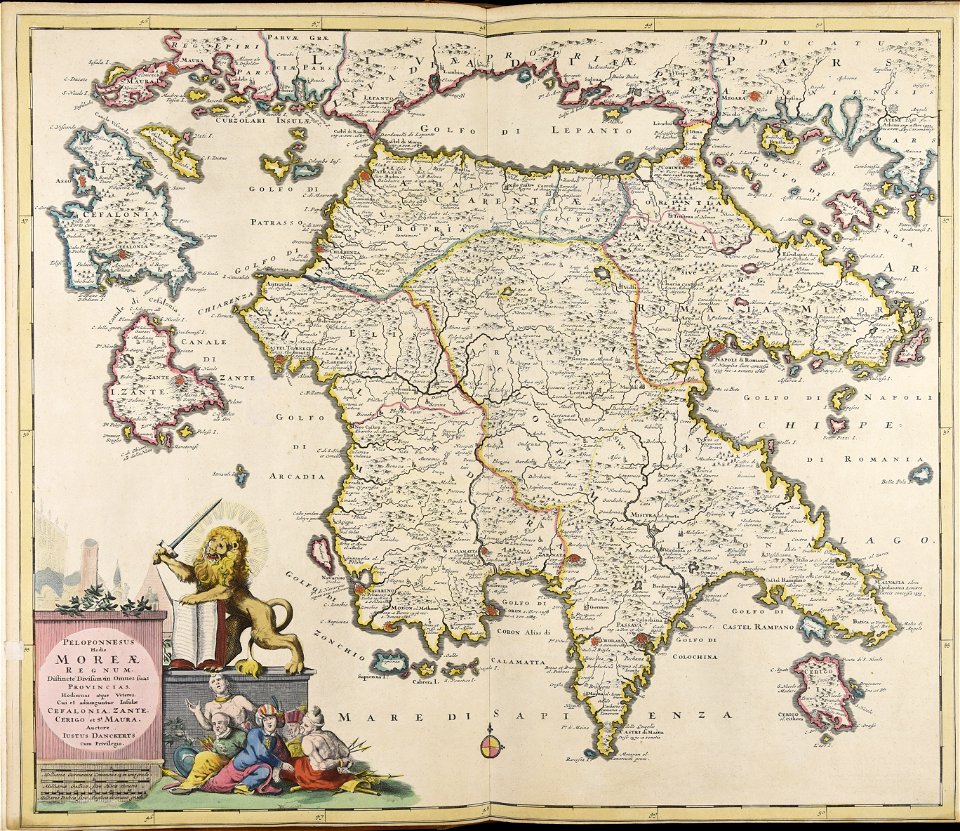
old maps of the peloponnese
maps in the library of congress
western europe
ganymede in renaissance art
maps by gerardus mercator
œuvres de tony garnier conservées au mba lyon
tusculum
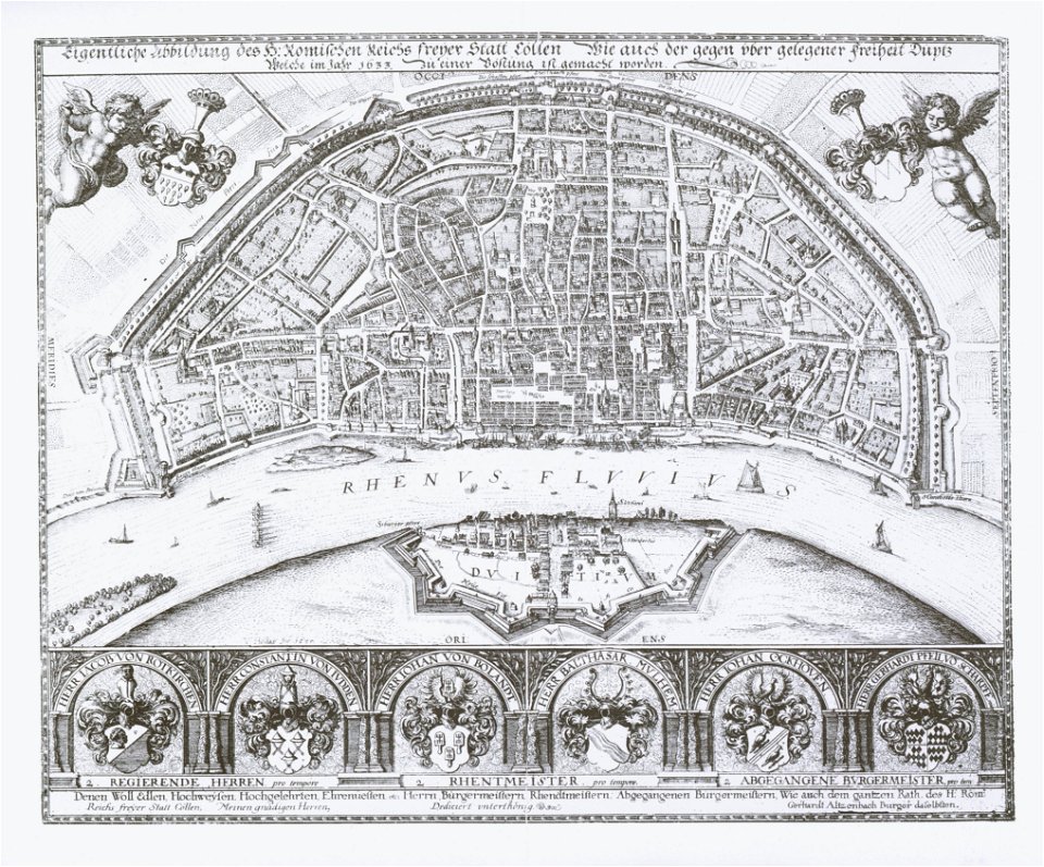
1633 in north rhine-westphalia
old maps of cologne
theatrum orbis terrarum (london 1606)
files from the bodleian libraries
woodcuts in the rijksmuseum amsterdam
maps in the rijksmuseum amsterdam
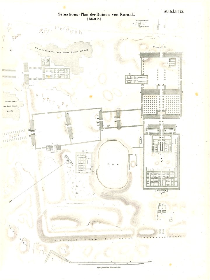
temple of khonsu in karnak
lepsius-projekt - maps
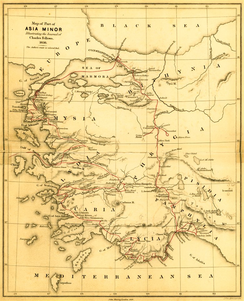
a journal written during an excursion in asia minor
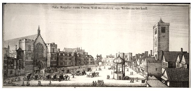
london
drawings by leonardo da vinci in the royal collection of the united kingdom
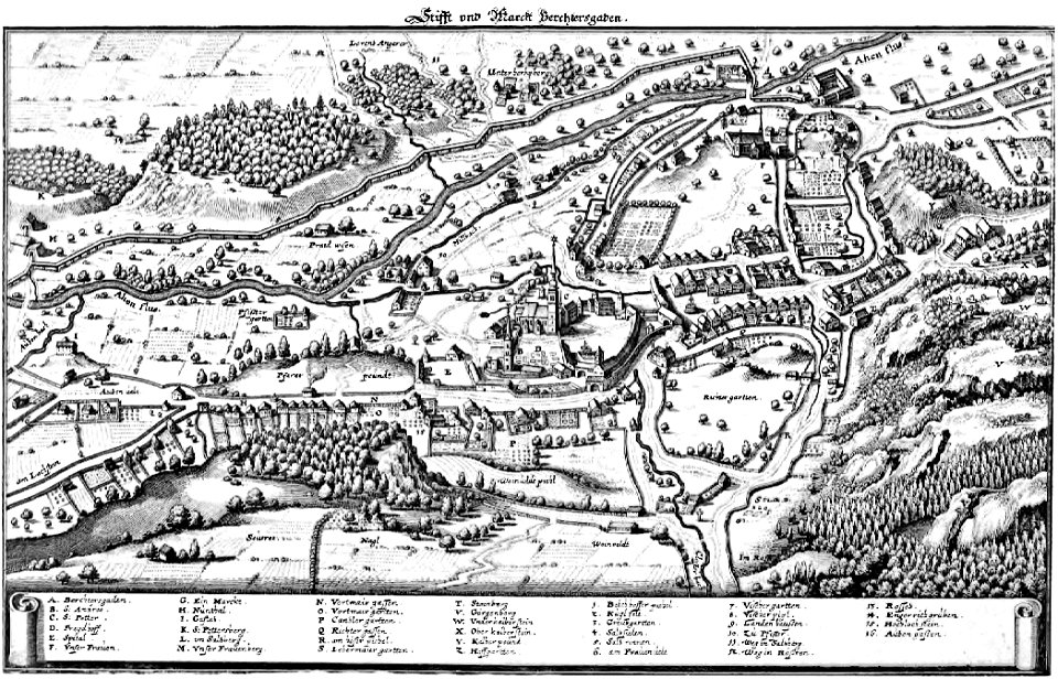
copper engravings in the universitätsbibliothek salzburg
maps by joseph friedrich leopold
theatrum orbis terrarum (london 1606)
files from the bodleian libraries
maps made in the 17th century
jan janssonius
cartes et tables de la géographie physique ou naturelle
maps in the library of congress
cartes et tables de la géographie physique ou naturelle
maps in the library of congress
cartes et tables de la géographie physique ou naturelle
maps in the library of congress
cartes et tables de la géographie physique ou naturelle
maps in the library of congress
cartes et tables de la géographie physique ou naturelle
maps in the library of congress
cartes et tables de la géographie physique ou naturelle
maps in the library of congress
cartes et tables de la géographie physique ou naturelle
maps in the library of congress
cartes et tables de la géographie physique ou naturelle
maps in the library of congress
cartes et tables de la géographie physique ou naturelle
maps in the library of congress
westermanns monatshefte
map table
pages using map template with incorrect parameter
nieuwe hollandse scheeps-bouw (1695)
claes jansz. visscher (ii)
waal
pages using map template with incorrect parameter
nieuwe hollandse scheeps-bouw (1695)
astronomy
maps
flemish 17th-century prints in the rijksmuseum amsterdam
frans hogenberg
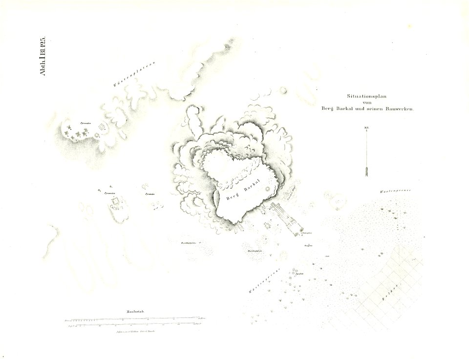
illustrations of jebel barkal
lepsius-projekt - maps
maps in the library of congress
western europe
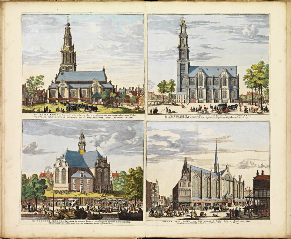
historical images of zuiderkerk (amsterdam)
frederick de wit
history of eindhoven
eindhoven
pages using map template with incorrect parameter
nieuwe hollandse scheeps-bouw (1695)
pages using map template with incorrect parameter
nieuwe hollandse scheeps-bouw (1695)
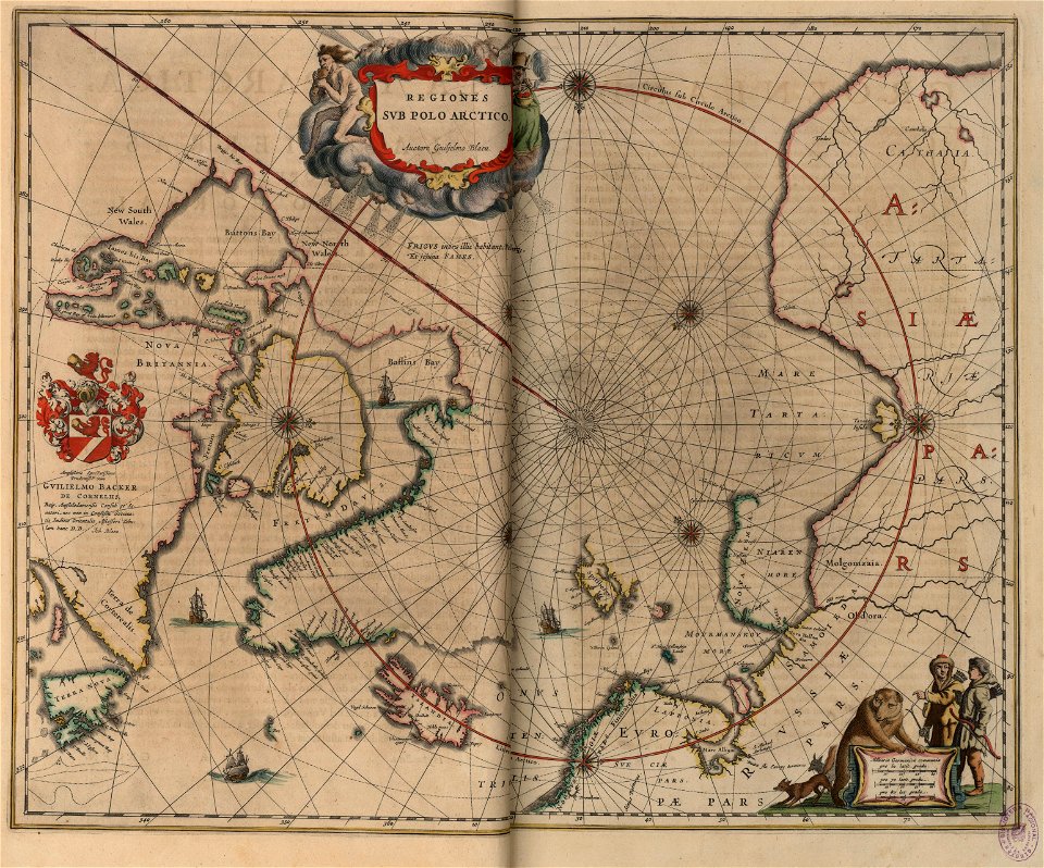
old maps of the arctic
copper engraving
charts and maps of the royal museums greenwich
french prints in the rijksmuseum amsterdam
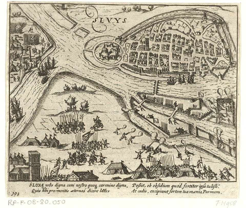
sluis
maps in the library of congress
western europe
claes jansz. visscher (ii)
circumvallation
cartes et tables de la géographie physique ou naturelle
maps in the library of congress
cartes et tables de la géographie physique ou naturelle
maps in the library of congress
cartes et tables de la géographie physique ou naturelle
maps in the library of congress
cartes et tables de la géographie physique ou naturelle
maps in the library of congress
cartes et tables de la géographie physique ou naturelle
maps in the library of congress
cartes et tables de la géographie physique ou naturelle
maps in the library of congress
cartes et tables de la géographie physique ou naturelle
maps in the library of congress
cartes et tables de la géographie physique ou naturelle
maps in the library of congress
old maps of turin
history of turin
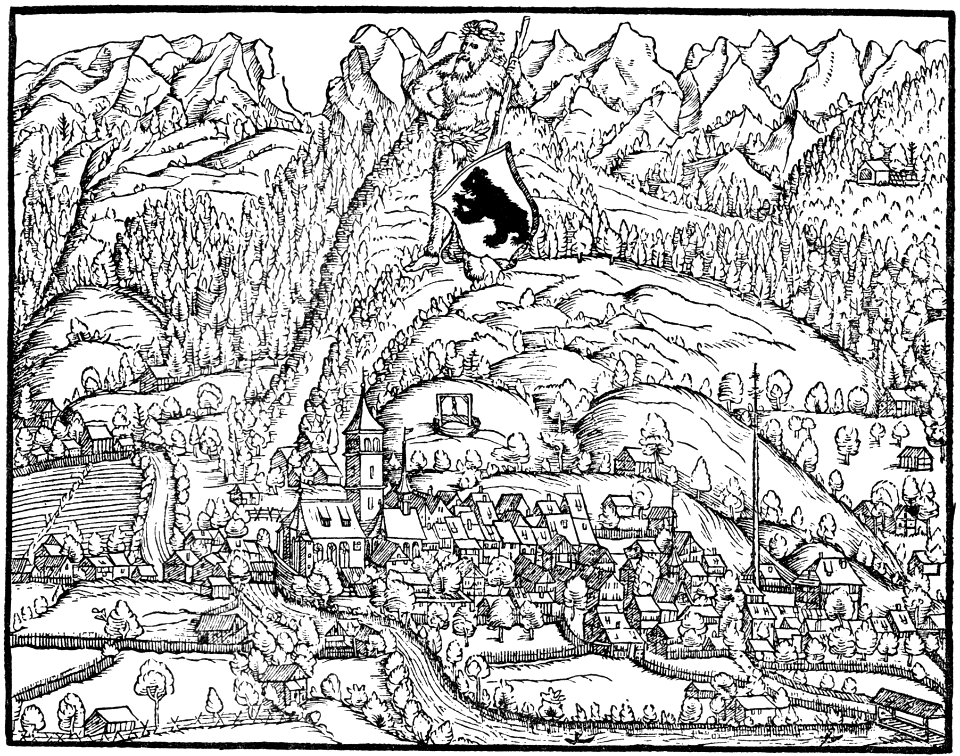
historical images of appenzell
old maps of switzerland
diagrams of mountains
comparison diagrams
maps of the west-indische compagnie
1745
collections de la bibliothèque nationale et universitaire de strasbourg
maps of strasbourg in the 19th century
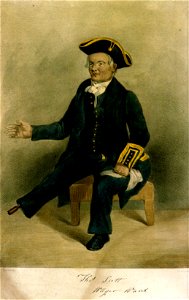
greenwich pensioners
printing
maps in the amsterdam museum
maps in the amsterdam museum
maps in the amsterdam museum
maps in the library of congress
western europe
maps from the earth and its inhabitants, vol. vi
charles eugène perron
st mary's church
dublin
anne baptiste nivelon
rococo
maps made in the 17th century
jan janssonius
maps made in the 17th century
funen
architectural prints by wenzel hollar
old st paul's cathedral
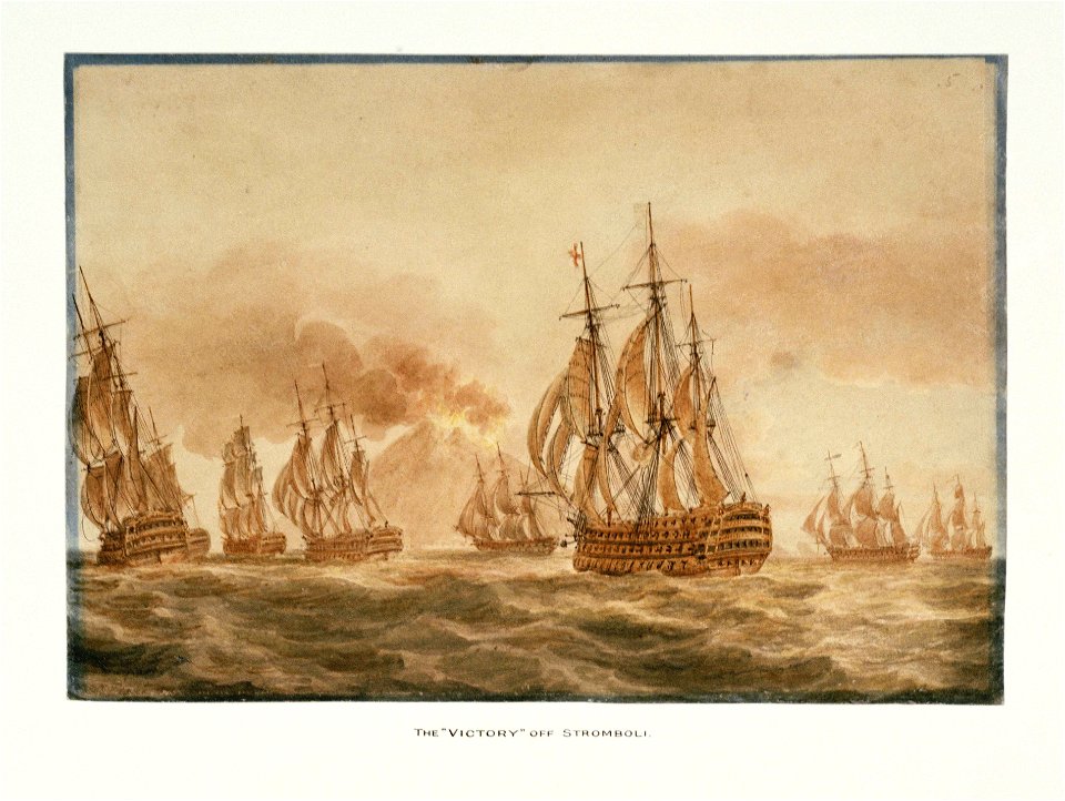
hms victory (ship
printing
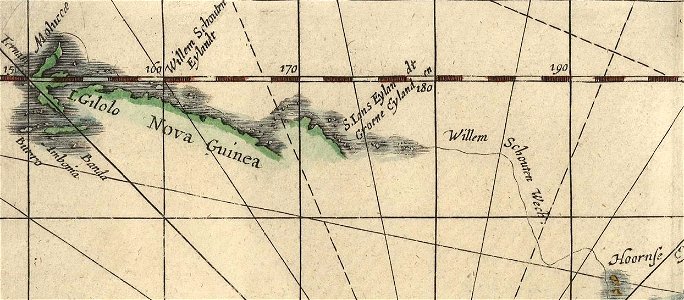
willem schouten
jacob le maire
pictorial history of the russian war 1854-5-6 by george dodd
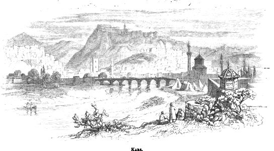
old pictures and maps of kars
fortifications in france
fort de limaie
historical images of mariahilf
vienna in the 1830s
atlantis magni tomus quintus (biblioteca comunale di trento)
maps made in the 17th century
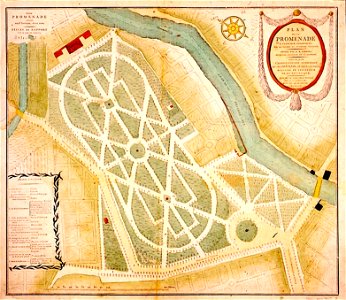
maps of baroque gardens
bird's eye view
maps and topographical views by joris hoefnagel
drawings by joris hoefnagel
old maps of dokkum
atlas de wit 1698
maps made in the 17th century
nicolaes visscher ii
printing
1797
maps made in the 17th century
caraibi
charts and maps of the royal museums greenwich
lucas janszoon waghenaer
historical images of ocean grove
new jersey
pictorial history of the russian war 1854-5-6 by george dodd
historical images of kronstadt
maps of the thirty years' war
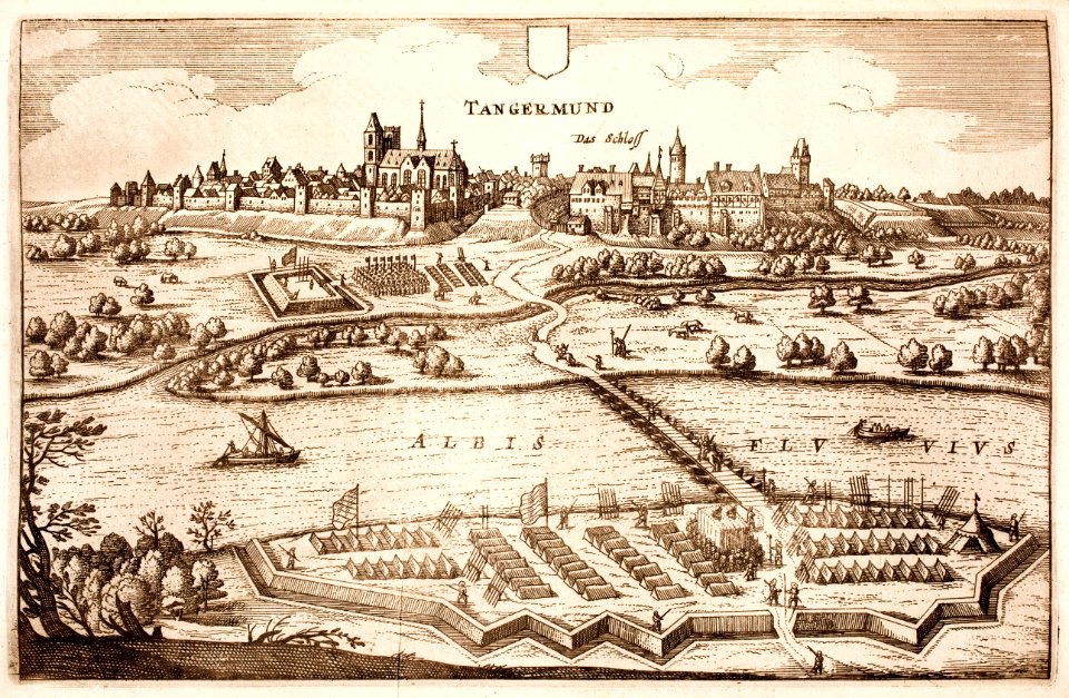
history of tangermünde
john - president of the alpine club
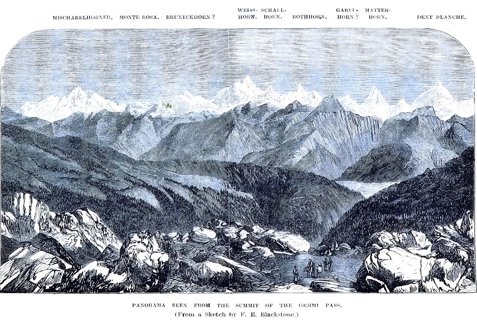
historical images of gemmipass
old maps of münster (westfalen)
caspar merian
atlantis magni tomus quartus (biblioteca comunale di trento)
maps made in the 17th century
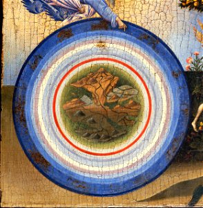
geocentric model
world map
map of ferrara by andrea bolzoni
corso ercole i d'este (ferrara)
maps made in the 17th century
peloponnese
copper engraving
1643 engravings
maps made in the 16th century
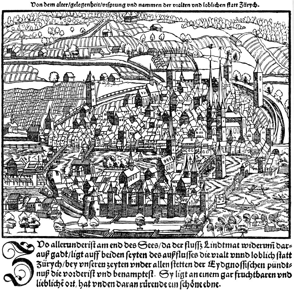
zürich in art
island of love
gatchina
university of toronto wenceslas hollar digital collection
architectural prints by wenzel hollar
kloveniersschutterij (haarlem)
kloveniersdoelen (haarlem)
10301 - 10400 of 38,646
Next page
/ 387