En
Log in
All resources
Create a design
Tools
25,003 Free Images of Texting
drawing
civitates orbis terrarum. de praecipuis totius universi urbibus. liber secundus
digital library of university of wroclaw
maps in the library of congress
la germanie inférieure de petrus keerius - c'est à dire- nouvelles et exactes cartes géographiques des xvii provinces dicelle
paper
british museum
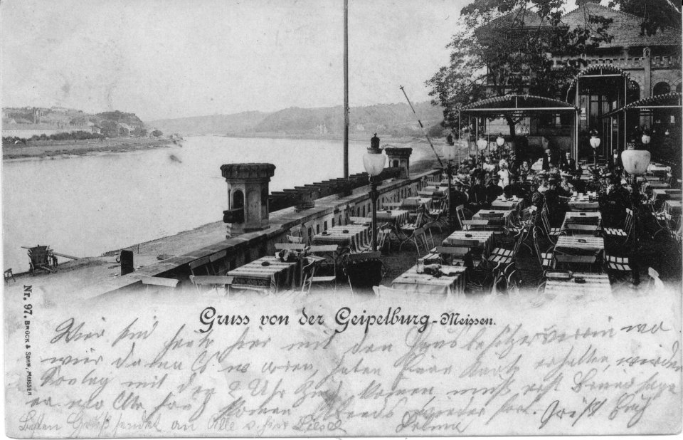
feldpostbriefe von hans
history
maps of paris from the david rumsey historical map collection
history
vintage
historical
history
history
vintage
history
vintage
civitates orbis terrarum. de praecipuis totius universi urbibus. liber secundus
maps of görlitz by braun & hogenberg
civitates orbis terrarum. de praecipuis totius universi urbibus. liber secundus
maps of leiden by braun & hogenberg
civitates orbis terrarum. de praecipuis totius universi urbibus. liber secundus
maps of kalkar by braun & hogenberg
civitates orbis terrarum. de praecipuis totius universi urbibus. liber secundus
maps of ypres by braun & hogenberg
civitates orbis terrarum. de praecipuis totius universi urbibus. liber secundus
maps of ancient rome by braun & hogenberg
civitates orbis terrarum. de praecipuis totius universi urbibus. liber secundus
maps of innsbruck by braun & hogenberg
lithographs in the british museum
steendrukkerij p. blommers
civitates orbis terrarum. de praecipuis totius universi urbibus. liber secundus
history of pozzuoli
civitates orbis terrarum. de praecipuis totius universi urbibus. liber secundus
maps of bilbao by braun & hogenberg
civitates orbis terrarum. de praecipuis totius universi urbibus. liber secundus
maps of loja by braun & hogenberg
civitates orbis terrarum. de praecipuis totius universi urbibus. liber secundus
maps of haarlem by braun & hogenberg
civitates orbis terrarum. de praecipuis totius universi urbibus. liber secundus
maps of marseille by braun & hogenberg
civitates orbis terrarum. de praecipuis totius universi urbibus. liber secundus
panorama of maastricht by simon de bellomonte
civitates orbis terrarum. de praecipuis totius universi urbibus. liber secundus
maps of santander by braun & hogenberg
civitates orbis terrarum. de praecipuis totius universi urbibus. liber secundus
maps of huy by braun & hogenberg
civitates orbis terrarum. de praecipuis totius universi urbibus. liber secundus
maps of kempten by braun & hogenberg
civitates orbis terrarum. de praecipuis totius universi urbibus. liber secundus
maps of gdańsk by braun & hogenberg
civitates orbis terrarum. de praecipuis totius universi urbibus. liber secundus
maps of antequera by braun & hogenberg
civitates orbis terrarum. de praecipuis totius universi urbibus. liber secundus
maps of freiberg by braun & hogenberg
lithographs in the british museum
prints by charles-émile jacque
prints by william hogarth in the british museum
realism
chromolithographs
teófilo rufflé
printing
writing
candlesticks in art
baroque
civitates orbis terrarum. de praecipuis totius universi urbibus. liber secundus
maps of limbourg by braun & hogenberg
civitates orbis terrarum. de praecipuis totius universi urbibus. liber secundus
maps of kampen by braun & hogenberg
civitates orbis terrarum. de praecipuis totius universi urbibus. liber secundus
maps of metz by braun & hogenberg
civitates orbis terrarum. de praecipuis totius universi urbibus. liber secundus
maps of meißen by braun & hogenberg
civitates orbis terrarum. de praecipuis totius universi urbibus. liber secundus
maps of mantua by braun & hogenberg
civitates orbis terrarum. de praecipuis totius universi urbibus. liber secundus
maps of pozzuoli by braun & hogenberg
lithographs in the british museum
steendrukkerij p. blommers
civitates orbis terrarum. de praecipuis totius universi urbibus. liber secundus
maps of besançon by braun & hogenberg
coloured lithographs in the british museum
works after alfred edward chalon
civitates orbis terrarum. de praecipuis totius universi urbibus. liber secundus
maps of schwäbisch hall by braun & hogenberg
lithographs in the british museum
steendrukkerij p. blommers
civitates orbis terrarum. de praecipuis totius universi urbibus. liber secundus
maps of nijmegen by braun & hogenberg
civitates orbis terrarum. de praecipuis totius universi urbibus. liber secundus
maps of blois by braun & hogenberg
civitates orbis terrarum. de praecipuis totius universi urbibus. liber secundus
maps of alexandria by braun & hogenberg
civitates orbis terrarum. de praecipuis totius universi urbibus. liber secundus
maps of dordrecht by braun & hogenberg
atlas des anciens plans de paris by imprimerie nationale, 1900 from the david rumsey historical map collection
maps of paris from the david rumsey historical map collection
atlas des anciens plans de paris by imprimerie nationale, 1900 from the david rumsey historical map collection
maps of paris from the david rumsey historical map collection
atlas des anciens plans de paris by imprimerie nationale, 1900 from the david rumsey historical map collection
maps of paris from the david rumsey historical map collection
maps of paris from the david rumsey historical map collection
romanticism
18th-century textiles in the cooper–hewitt, smithsonian design museum
françois chauveau
atlas des anciens plans de paris by imprimerie nationale, 1900 from the david rumsey historical map collection
maps of paris from the david rumsey historical map collection
atlas des anciens plans de paris by imprimerie nationale, 1900 from the david rumsey historical map collection
maps of paris from the david rumsey historical map collection
world war i posters in the library of congress
louis oppenheim
school
book
historical
history
atlas van der hagen (volume 2)
atlas van der hagen
gaspard-pierre-gustave joly de lotbinière
historical images of the parthenon
photographs from spaarnestad photo before 1929
sjoerd vening meinesz
feldpostbriefe von hans
6 pfennig stamps
11th-century manuscripts
decretals
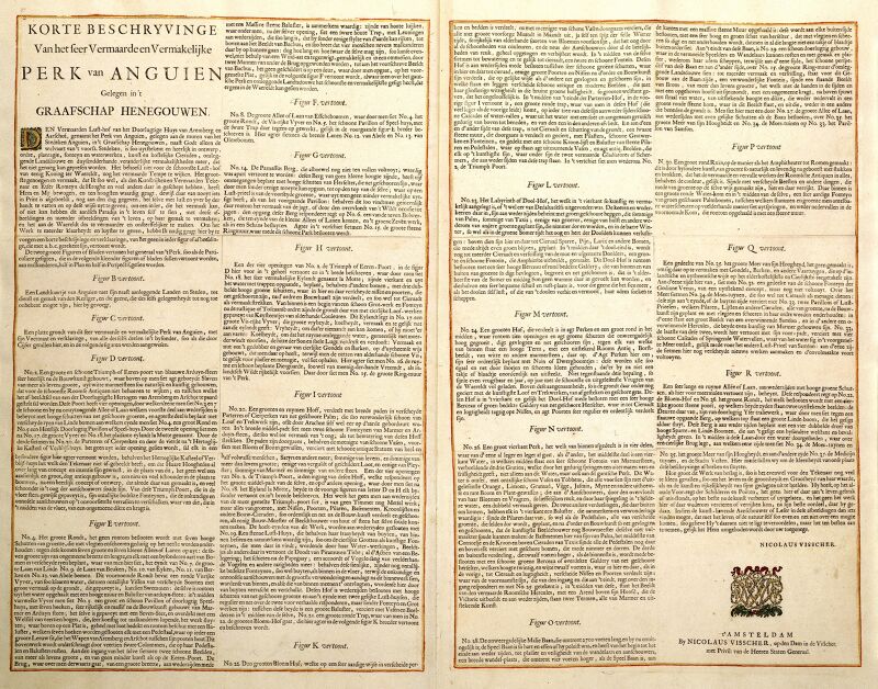
la germanie inférieure de petrus keerius - c'est à dire- nouvelles et exactes cartes géographiques des xvii provinces dicelle
maps in the library of congress
la germanie inférieure de petrus keerius - c'est à dire- nouvelles et exactes cartes géographiques des xvii provinces dicelle
maps in the library of congress
la germanie inférieure de petrus keerius - c'est à dire- nouvelles et exactes cartes géographiques des xvii provinces dicelle
maps in the library of congress
la germanie inférieure de petrus keerius - c'est à dire- nouvelles et exactes cartes géographiques des xvii provinces dicelle
maps in the library of congress
la germanie inférieure de petrus keerius - c'est à dire- nouvelles et exactes cartes géographiques des xvii provinces dicelle
maps in the library of congress
la germanie inférieure de petrus keerius - c'est à dire- nouvelles et exactes cartes géographiques des xvii provinces dicelle
maps in the library of congress
la germanie inférieure de petrus keerius - c'est à dire- nouvelles et exactes cartes géographiques des xvii provinces dicelle
maps in the library of congress
la germanie inférieure de petrus keerius - c'est à dire- nouvelles et exactes cartes géographiques des xvii provinces dicelle
maps in the library of congress
la germanie inférieure de petrus keerius - c'est à dire- nouvelles et exactes cartes géographiques des xvii provinces dicelle
maps in the library of congress
la germanie inférieure de petrus keerius - c'est à dire- nouvelles et exactes cartes géographiques des xvii provinces dicelle
maps in the library of congress
la germanie inférieure de petrus keerius - c'est à dire- nouvelles et exactes cartes géographiques des xvii provinces dicelle
maps in the library of congress
la germanie inférieure de petrus keerius - c'est à dire- nouvelles et exactes cartes géographiques des xvii provinces dicelle
maps in the library of congress
atlas van der hagen (volume 2)
atlas van der hagen
prints by william hogarth in the british museum
realism
media contributed by university of illinois urbana-champaign university library
bernard naudin
bibliothèque de l'institut national d'histoire de l'art
renaissance
drawings in the stadsarchief amsterdam
johan martinus anthon rieke
postmarks of saxony-anhalt
1944-04-10 postmarks
scans from cornell university library
books published in london
la germanie inférieure de petrus keerius - c'est à dire- nouvelles et exactes cartes géographiques des xvii provinces dicelle
maps in the library of congress
la germanie inférieure de petrus keerius - c'est à dire- nouvelles et exactes cartes géographiques des xvii provinces dicelle
maps in the library of congress
la germanie inférieure de petrus keerius - c'est à dire- nouvelles et exactes cartes géographiques des xvii provinces dicelle
maps in the library of congress
la germanie inférieure de petrus keerius - c'est à dire- nouvelles et exactes cartes géographiques des xvii provinces dicelle
maps in the library of congress
la germanie inférieure de petrus keerius - c'est à dire- nouvelles et exactes cartes géographiques des xvii provinces dicelle
maps in the library of congress
la germanie inférieure de petrus keerius - c'est à dire- nouvelles et exactes cartes géographiques des xvii provinces dicelle
maps in the library of congress
la germanie inférieure de petrus keerius - c'est à dire- nouvelles et exactes cartes géographiques des xvii provinces dicelle
maps in the library of congress
la germanie inférieure de petrus keerius - c'est à dire- nouvelles et exactes cartes géographiques des xvii provinces dicelle
maps in the library of congress
la germanie inférieure de petrus keerius - c'est à dire- nouvelles et exactes cartes géographiques des xvii provinces dicelle
maps in the library of congress
la germanie inférieure de petrus keerius - c'est à dire- nouvelles et exactes cartes géographiques des xvii provinces dicelle
maps in the library of congress
la germanie inférieure de petrus keerius - c'est à dire- nouvelles et exactes cartes géographiques des xvii provinces dicelle
maps in the library of congress
la germanie inférieure de petrus keerius - c'est à dire- nouvelles et exactes cartes géographiques des xvii provinces dicelle
maps in the library of congress
la germanie inférieure de petrus keerius - c'est à dire- nouvelles et exactes cartes géographiques des xvii provinces dicelle
maps in the library of congress
la germanie inférieure de petrus keerius - c'est à dire- nouvelles et exactes cartes géographiques des xvii provinces dicelle
maps in the library of congress
la germanie inférieure de petrus keerius - c'est à dire- nouvelles et exactes cartes géographiques des xvii provinces dicelle
maps in the library of congress
la germanie inférieure de petrus keerius - c'est à dire- nouvelles et exactes cartes géographiques des xvii provinces dicelle
maps in the library of congress
frank leslie's illustrated newspaper, 1861
pensacola navy yard
feldpostbriefe von hans
prontuario de paisajes de 1852
juan manuel besnes e irigoyen
feldpostbriefe von hans
feldpostbriefe von hans
feldpostbriefe von hans
feldpostbriefe von hans
1941 postmarks
16201 - 16300 of 25,003
Next page
/ 251