En
Log in
All resources
Create a design
Tools
357,572 Free Images of Maps
pages with maps
cc-zero
quality images
maps in the library of congress
quality images by jebulon
architecture
quality images missing sdc depicts
base mérimée
cultural heritage monuments in france with known ids
mérimée with pa parameter
charts and maps of the royal museums greenwich
lucas janszoon waghenaer
coats of arms of cities in corrèze
guillaume marie-anne brune
coats of arms of cities in loire
frédéric-auguste laguillermie
fonds ancely - bibliothèque municipale de toulouse - maps
pierre-jean david
fonds ancely - bibliothèque municipale de toulouse - maps
frédéric-auguste laguillermie
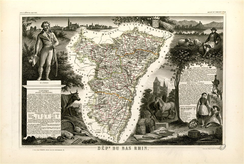
coats of arms of strasbourg (i)
jean-baptiste kléber
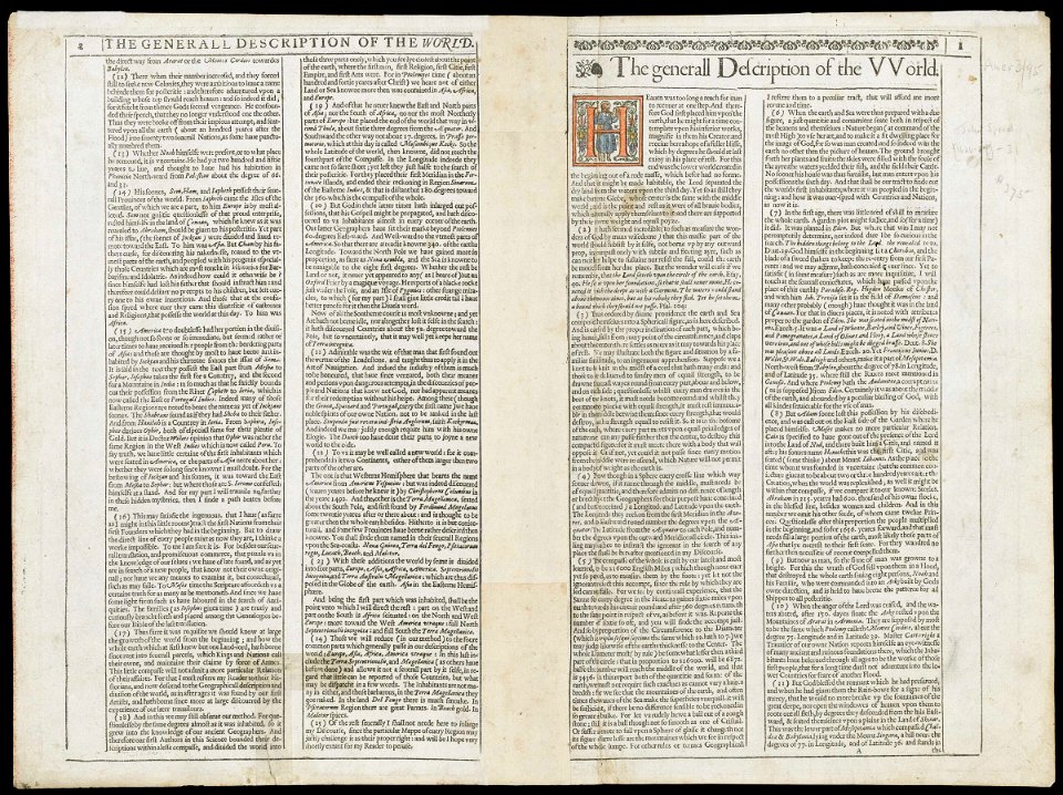
charts and maps of the royal museums greenwich
1626 maps
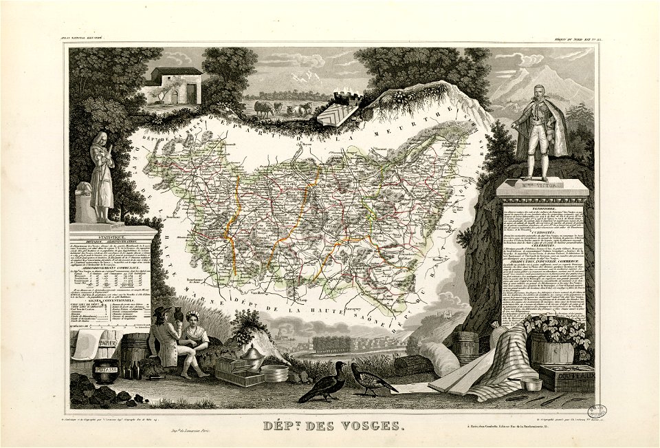
coats of arms of cities in vosges
claude-victor perrin
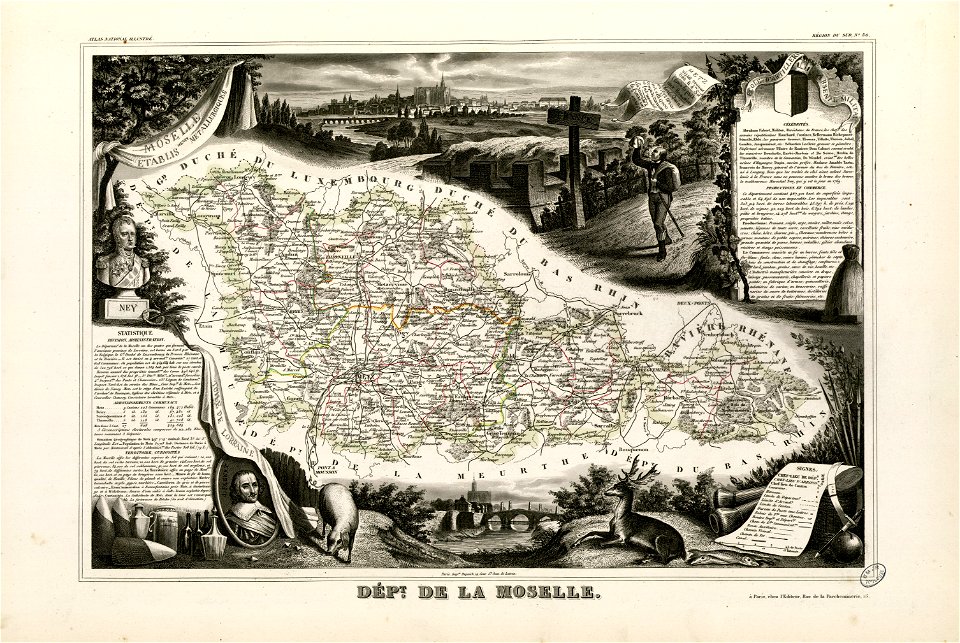
abraham de fabert
michel ney
globe
maps
maps in the library of congress
1746
maps in the library of congress
1746
maps in the library of congress
1746
maps in the library of congress
1746
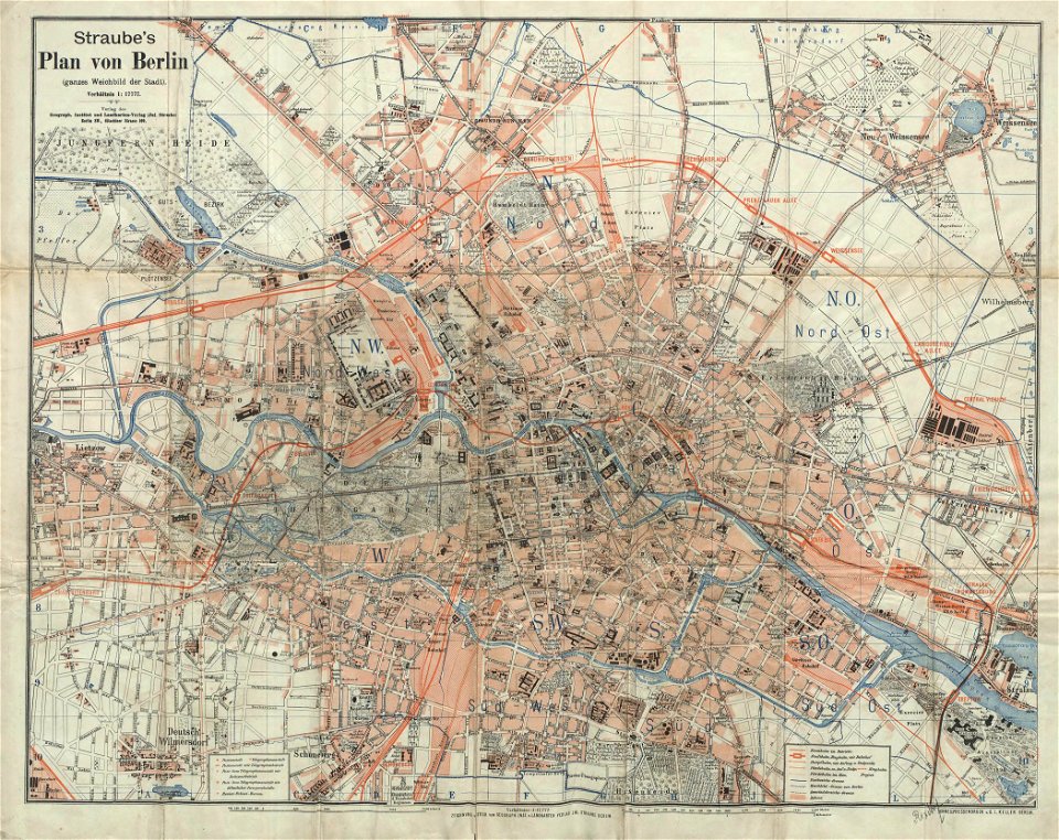
19th-century maps of berlin
1896 maps
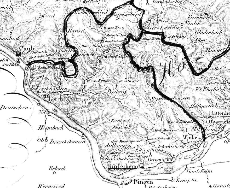
historic views of rüdesheim am rhein
1828
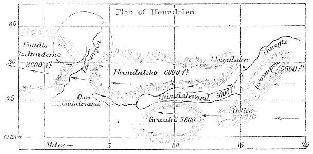
popular science monthly illustrations/volume 11
1877 maps
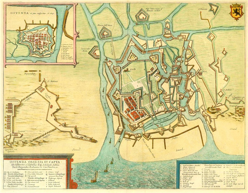
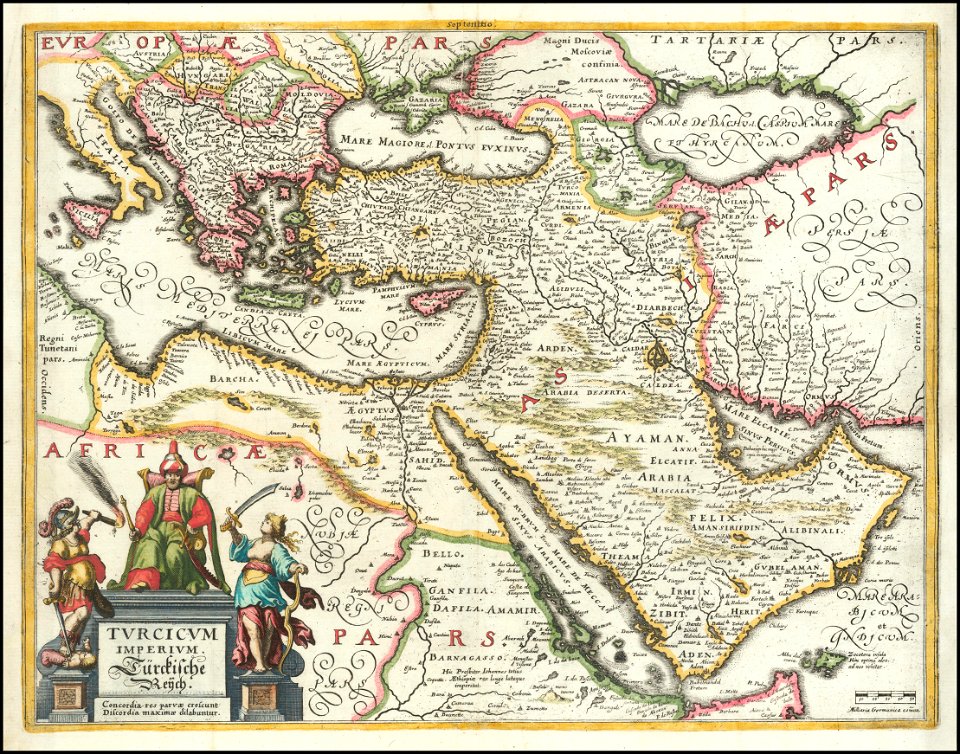
maps by willem and johannes blaeu
1649
maps in the library of congress
new york
matthäus merian
1636 maps
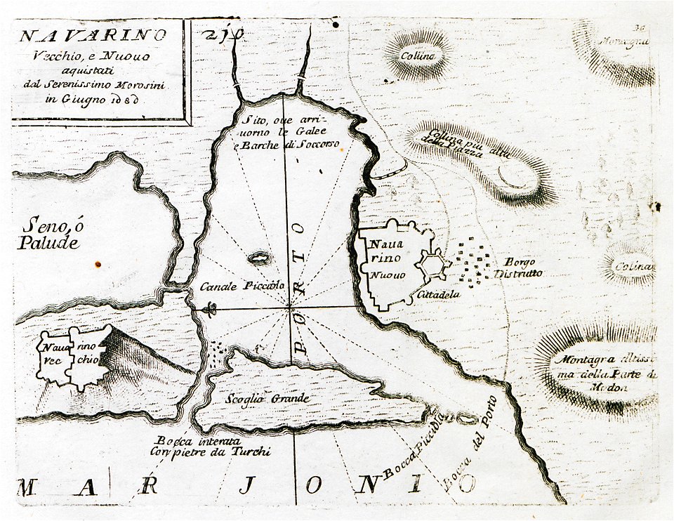
maps by coronelli
pylos
old maps of the peloponnese
maps by coronelli
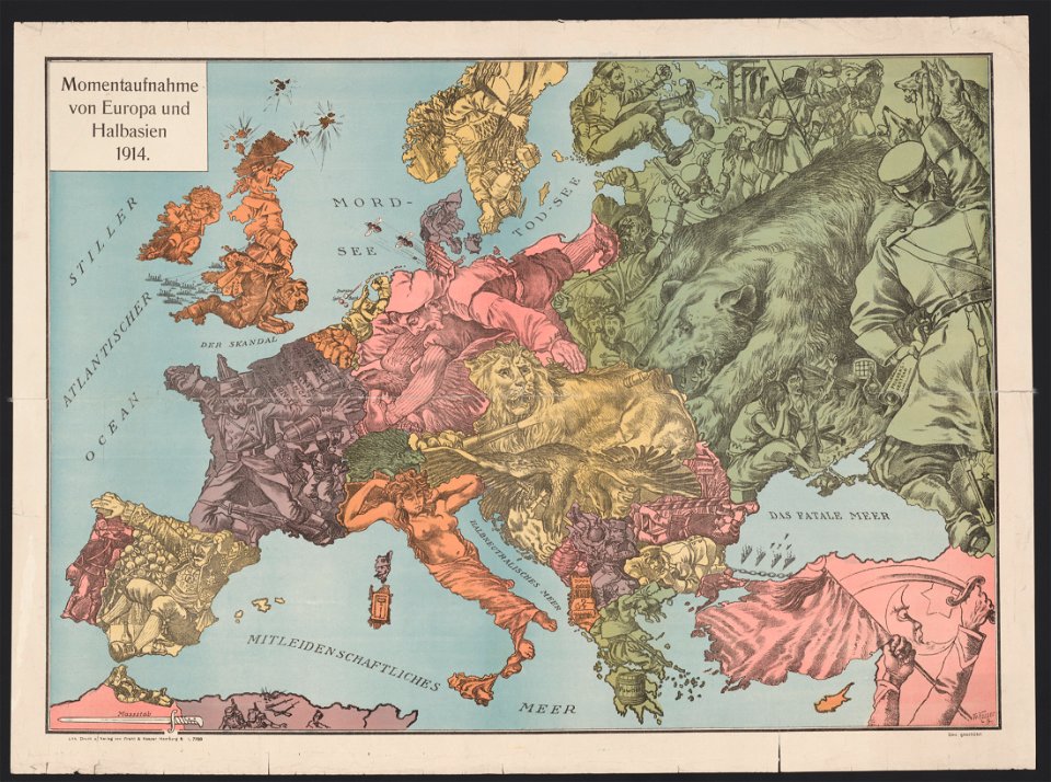
20th-century satirical maps
1914 maps of europe
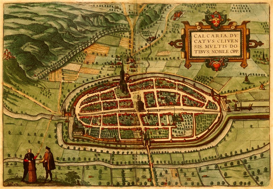
braun & hogenberg
maps of kalkar
old maps of lazio
codex windsor
19th-century maps of madagascar
maps by alexandre vuillemin
maps of fort fisher
fort fisher
historical images of brackenheim
1835 maps
atlantis magni tomus quintus (biblioteca comunale di trento)
maps by pieter schenk (i)
maps of the dutch east india company - india
1755
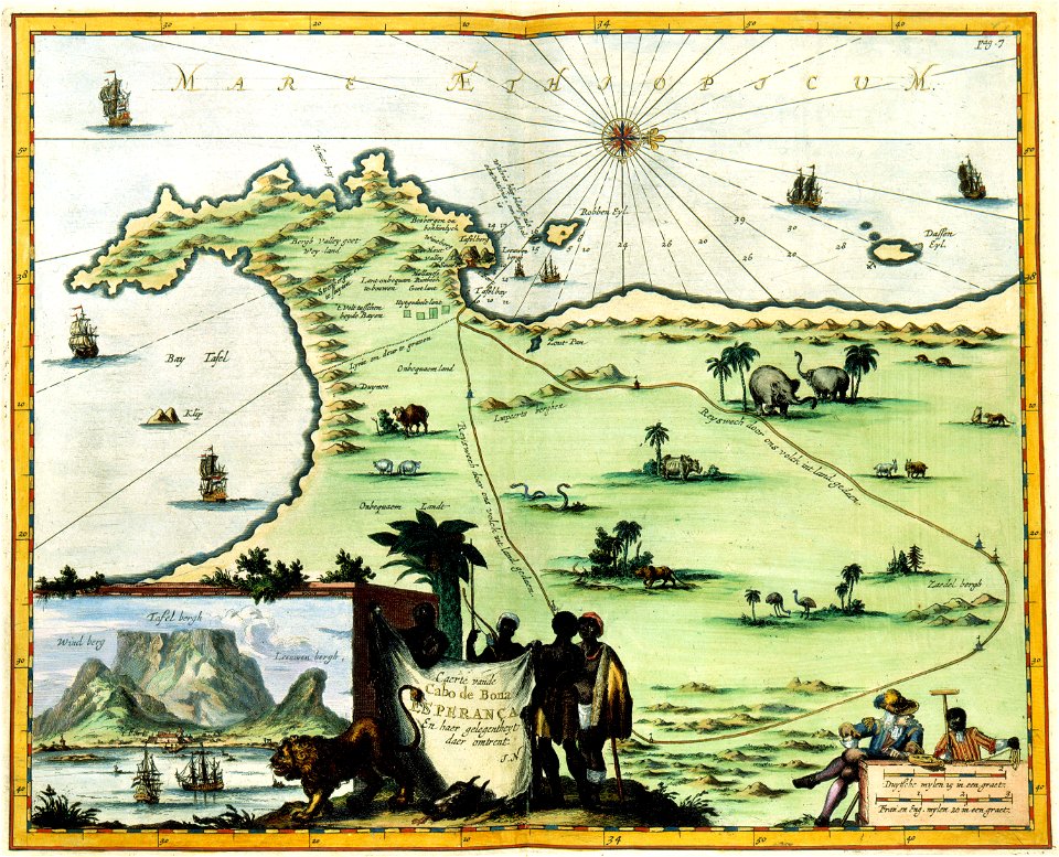
maps of the dutch east india company - south africa
gerard van keulen
braun & hogenberg
ships on maps
melchior tavernier (i)
harvard university
turgot map of paris
hôtel de mortemart
west-indische compagnie
1639 maps
massachusetts
clinton
maps in the library of congress
1861 maps
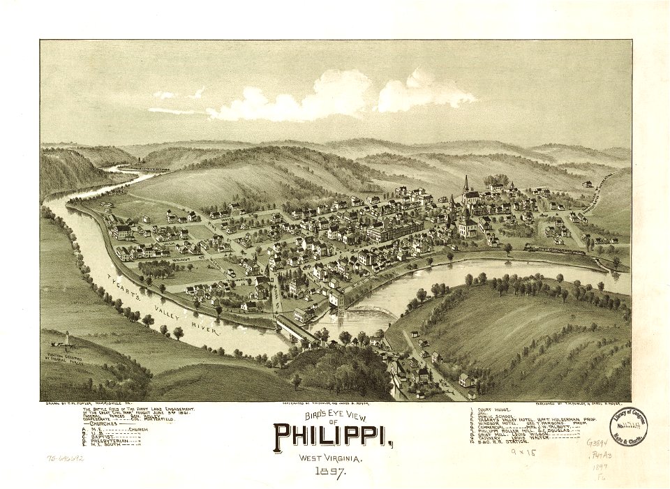
west virginia
philippines
maps in the library of congress
albert ruger
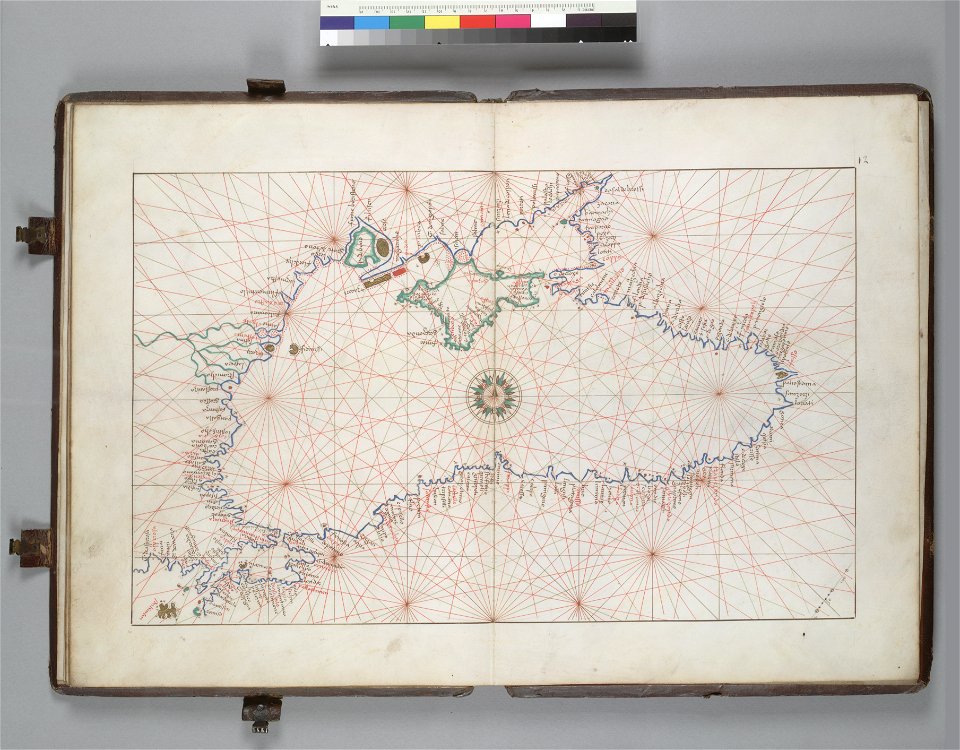
16th-century maps of the black sea
battista agnese
maps in the library of congress
1777 maps
maps in the library of congress
1782 maps
maps in the library of congress
o. h. bailey
maps in the national library of wales
old maps of whole wales (alone)
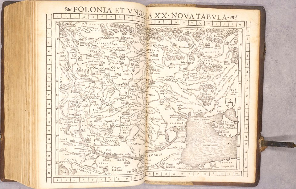
old maps of poland
1552
old maps of spain
1552
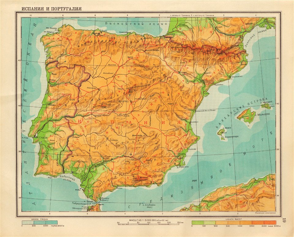
geographical atlas for the 5-6 grades of secondary school (1941)
old maps of the iberian peninsula
braun & hogenberg
copper engraving
2011 in dordogne
architecture
architecture
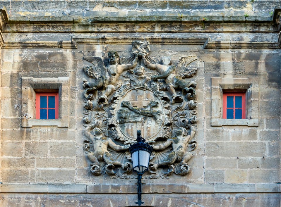
cherub
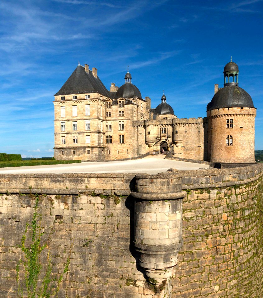
château de hautefort
architecture
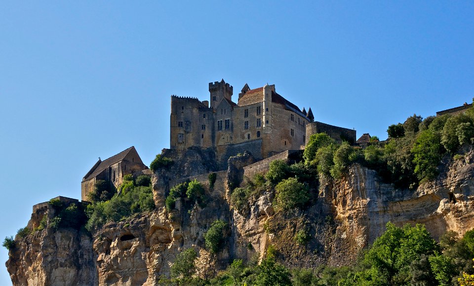
château de beynac
architecture
architecture
gold
monochrome
people
architecture
stone stairs
architecture
stone relief
château de l'herm
architecture
architecture
grass
yellow helmet
dust
village
tree
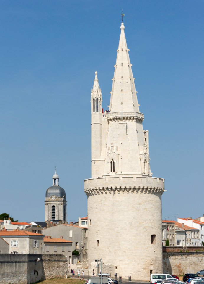
tour de la lanterne
architecture
people of isla margarita
la guardia beach
grisaille
gold
west facade of the monastery of san lorenzo de el escorial
self-published work
pages with maps
architecture
château de hautefort
architecture
self-published work
architecture
self-published work
architecture
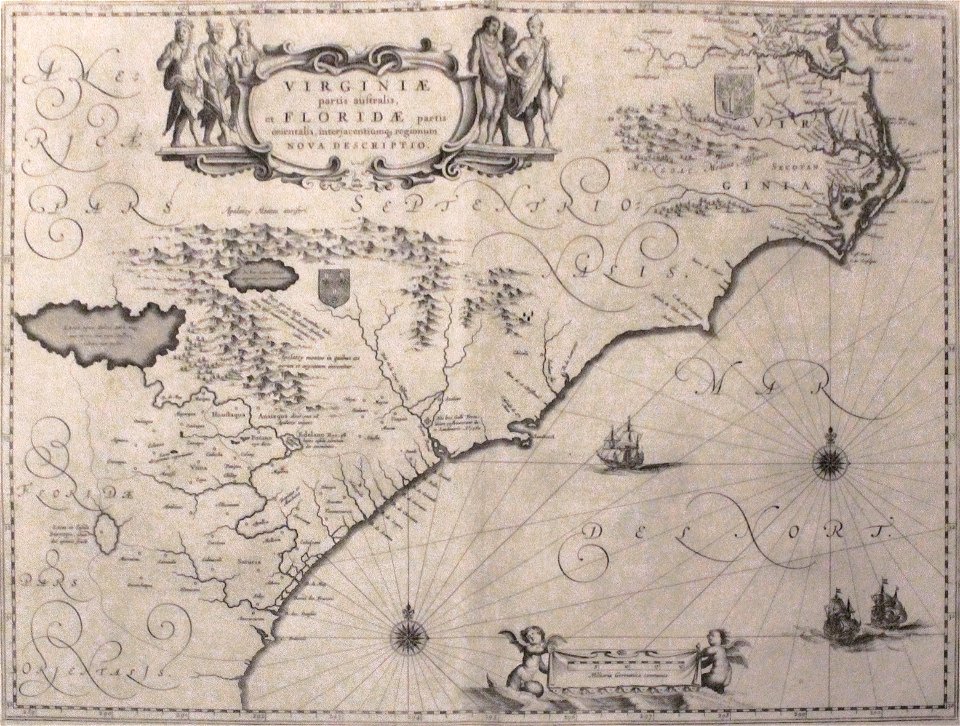
old maps of florida
madrid
maps by willem and johannes blaeu
maps made in the 17th century
atlas van der hagen (volume 4)
maps with cartouches
circle
maps
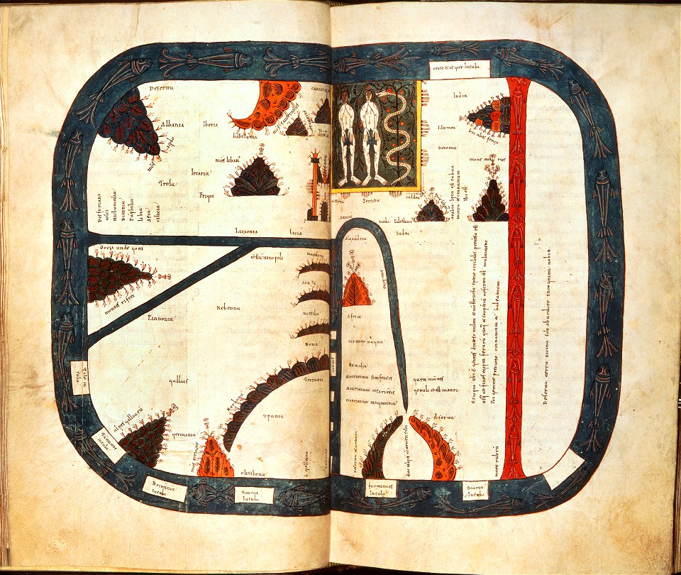
silos apocalypse (1109) - bl add ms 11695
map of beatus
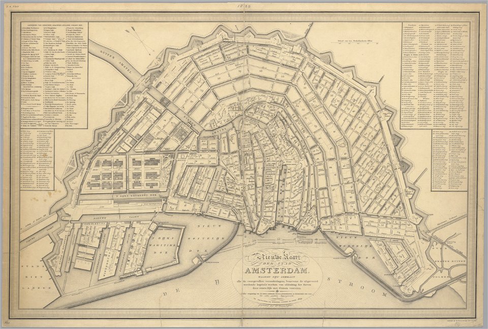
maps in the stadsarchief amsterdam
old maps of amsterdam
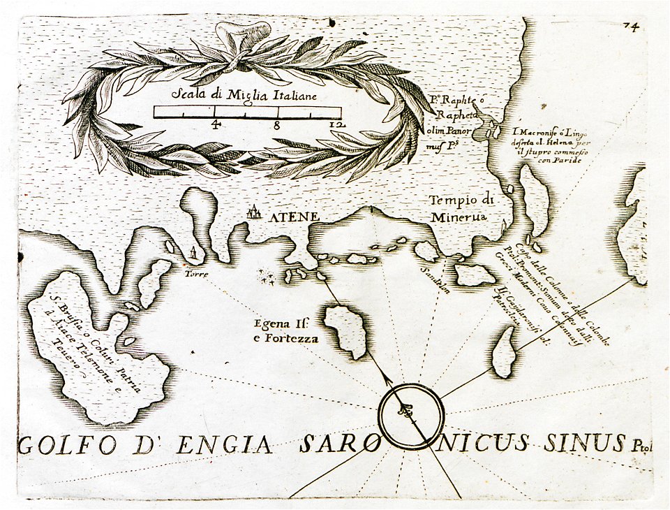
old maps of the peloponnese
maps by coronelli
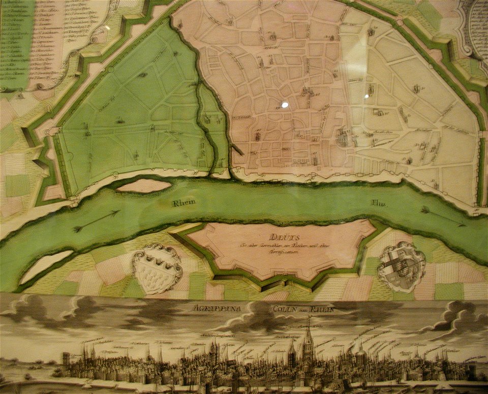
parts of old maps of cologne
maps by matthäus seutter
national diet library
keichō kuniezu
university of toronto wenceslas hollar digital collection
old maps of ireland
the illustrated london news 1860
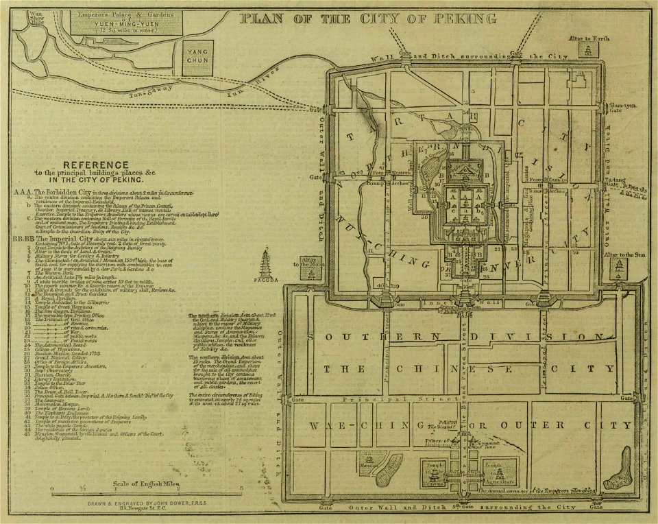
19th-century maps of china
travels in various countries of europe
asia and africa
popular science monthly illustrations/volume 16
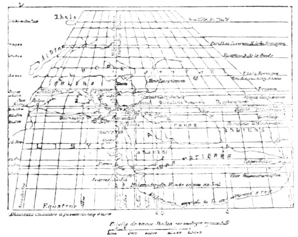
ancient greek maps of the world
maps in the library of congress
new york
charts and maps of the royal museums greenwich
1682 maps
banda islands
1724
illustrations from the english at the north pole by riou and montaut
old maps of the arctic
ms. ludwig xv 4 (getty museum) - bird book of hugo fouilloy
13th-century maps of the world
maps in the library of congress
1775 maps of boston
coats of arms of baden-württemberg
duke of württemberg
maps in the library of congress
1746
old maps of korea
british museum
maps in london labour and the london poor (1851)
maps in the library of congress
1746
old maps of mississippi (state)
maps by alexandre vuillemin
volume 7 of le tour du monde
maps of central asia
johannes vingboons
kerala
melchior tavernier (i)
harvard university
20th-century maps of india
india
hand-drawn maps and views of world war i battlefields by h.m.
hand-drawn maps and views of world war i battlefields by h.m.
maps in the library of congress
o. h. bailey
8801 - 8900 of 357,572
Next page
/ 3576