En
Log in
All resources
Create a design
Tools
357,572 Free Images of Maps
countries
border
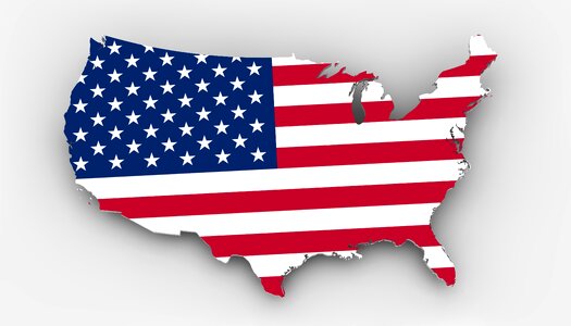
united states of america
land borders
flag
geography
world map
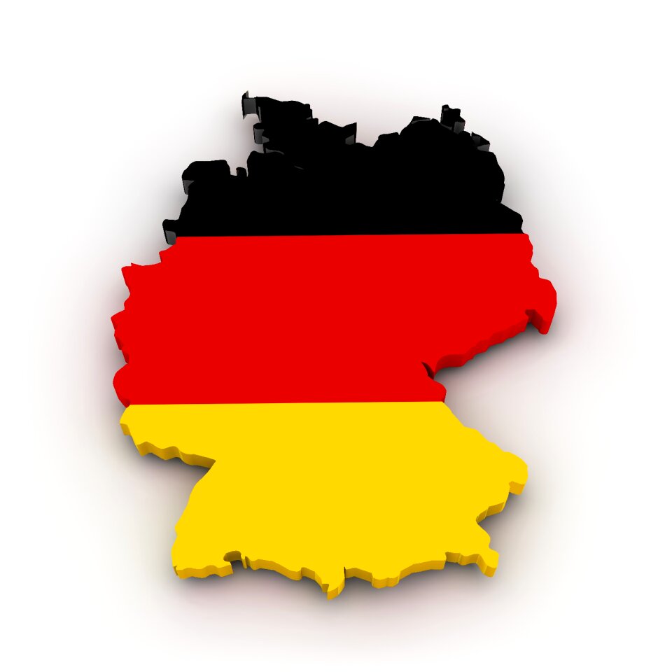
germany
africa
earth
africa
maps
maps in skokloster castle
maps by nicolas sanson
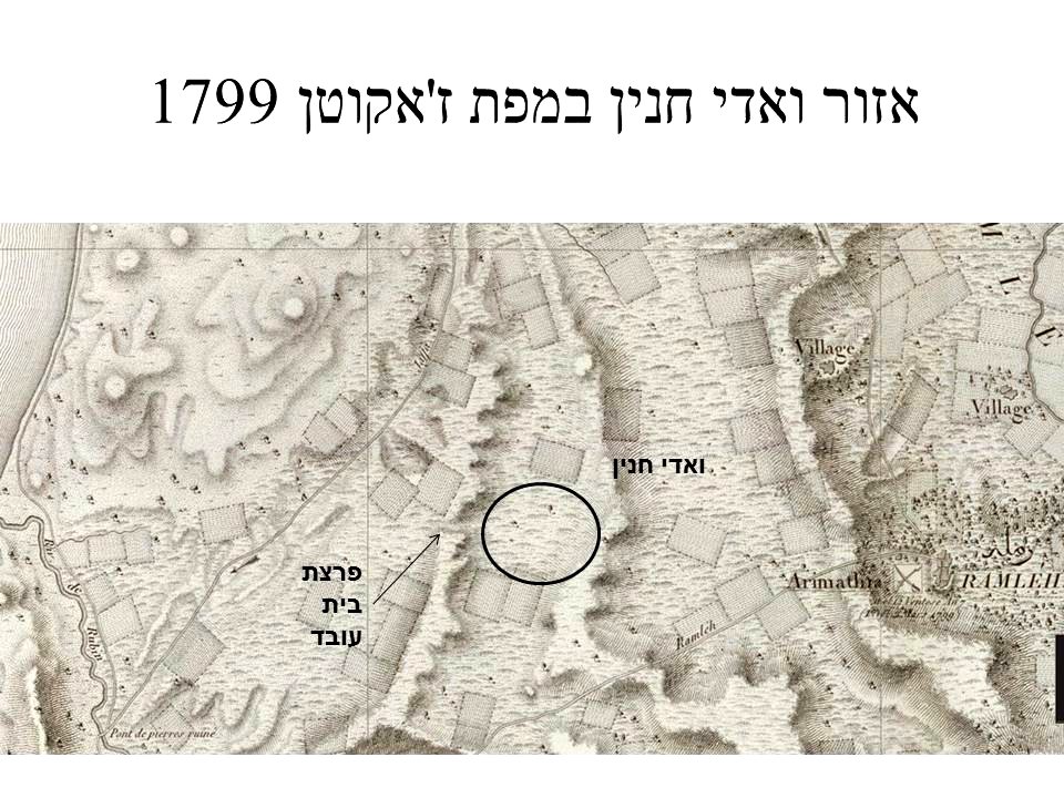
1790s maps of palestine
old maps of israel
animals
mammals
maps
flag
maps
flag
maps
flag
maps
flag
bird
maps
countries
maps
business
maps
illustration
maps
background
maps
maps
flag
maps
flag
maps
flag
maps
flag
maps
flag
maps
flag
maps
flag
maps
flag
maps
flag
maps
flag
maps
flag
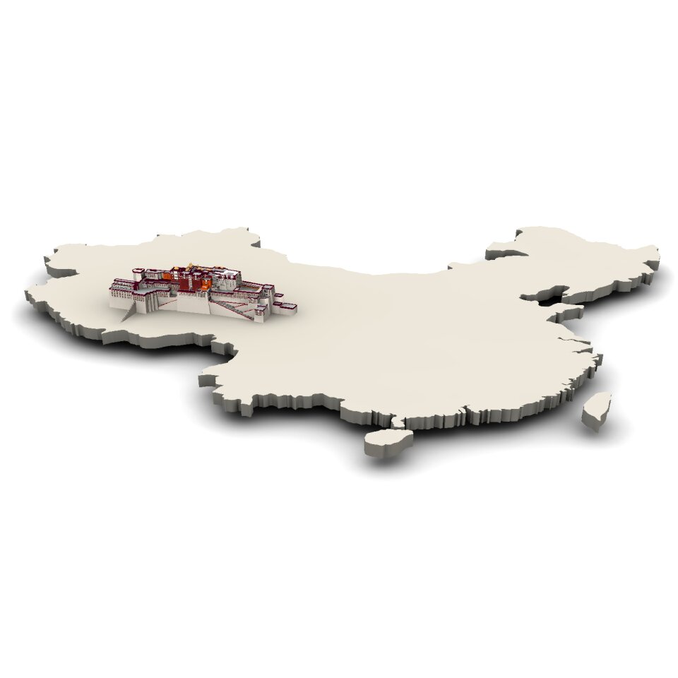
china
maps
maps
usa
countries
maps
countries
maps
background
maps
valentine's day
maps
maps
flag
maps
flag
countries
maps
travel
maps
bird
maps
maps
flag
maps
flag
maps
flag
background
maps
maps
flag
maps
flag
maps
flag
maps
flag
maps
flag
maps
flag
maps
flag
new zealand
maps
business
maps
maps
flag
maps
flag
symbol
maps
printing
1781
cornell: persuasive cartography: the pj mode collection
ethel franklin betts
zutphen
ijssel
images from metropolitan museum of art (paris project)
gabriel thouin
section schwarzenberg (1843)
oberreit
historical images of île de ré
siege of la rochelle
target
maps
maps in skokloster castle
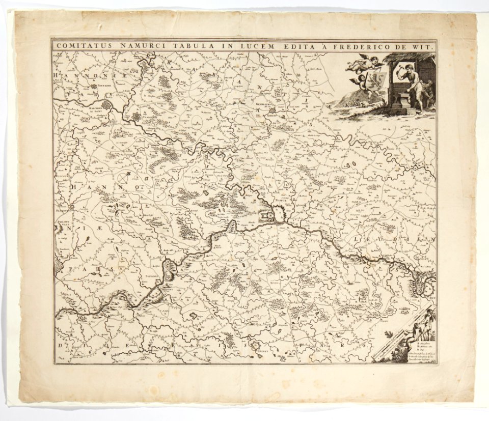
maps by frederick de wit
maps in skokloster castle
1770 maps
images in ottův slovník naučný (volume 19)
maps in ottův slovník naučný
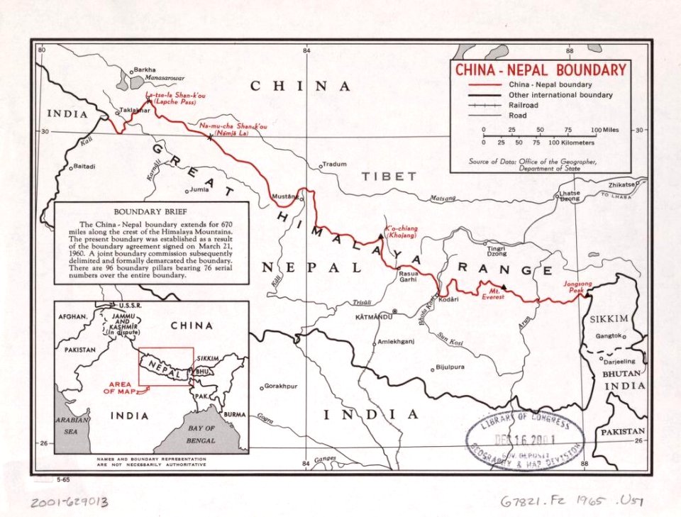
maps of borders of nepal
old maps of nepal
maps of the croatian war of independence
maps of the republic of serbian krajina
skillshare 2010 stadtarchiv
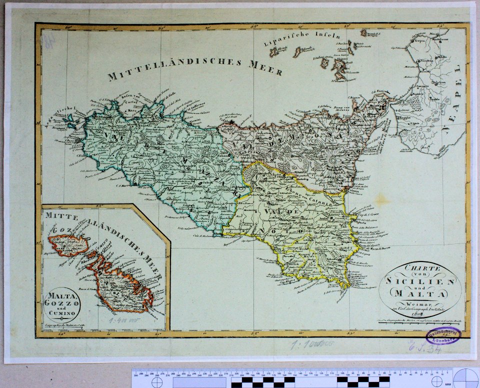
old maps of malta
maps in skokloster castle
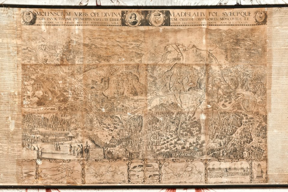
old maps of smolensk
travel
maps
background
actor
business
africa
eyewear
book
19th-century maps of europe
english-language maps
maps made in the 17th century
maps by frederick de wit
textures
maps
black
maps
maps
flag
unit size indicators for tactical signs and map symbols of nato
self-published work
whimsical
red tree
maps
flag
travel
maps
maps of saint-denis (seine-saint-denis)
17th-century works in france
historical images of île de ré
siege of la rochelle
cornell university library
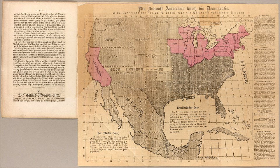
abolitionism
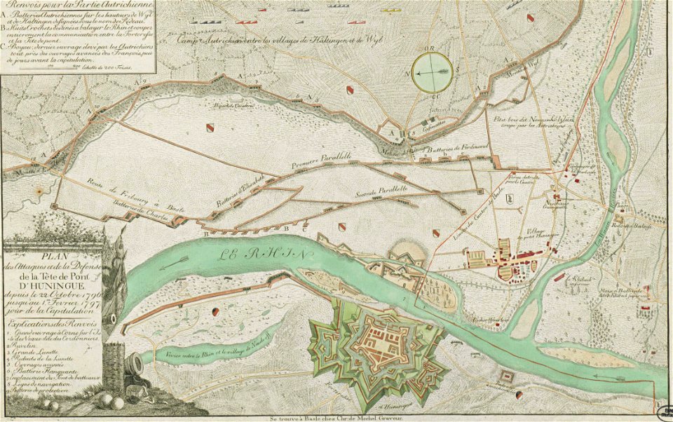
collections de la bibliothèque nationale et universitaire de strasbourg
christian von mechel
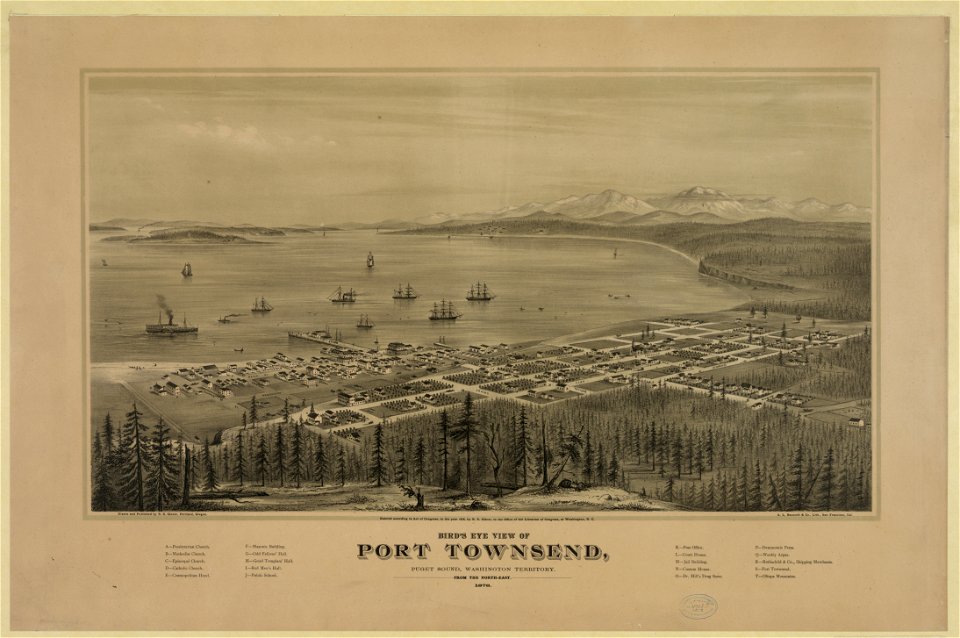
port townsend
washington
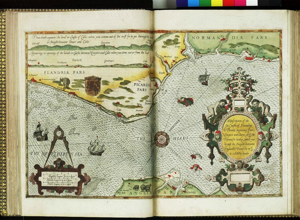
charts and maps of the royal museums greenwich
lucas janszoon waghenaer
artworks with known accession number
artworks without wikidata item
palais du louvre in the 1610s
louvre palace
aa en hunze
inundation
maps
sea
earth
maps
alligator
mexico
italy
maps
old maps of kempten (allgäu)
coats of arms on maps
nature
maps
china
earth
self-published work
pages with maps
old maps of counties in the kingdom of hungary
orava
photographs of maps
green
2nd edition
1687
self-published work
cc-pd-mark
eyewear
maps
15701 - 15800 of 357,572
Next page
/ 3576