En
Log in
All resources
Create a design
Tools
357,572 Free Images of Maps
maps in the library of congress
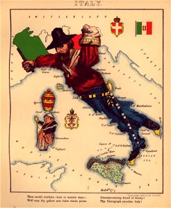
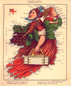
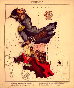
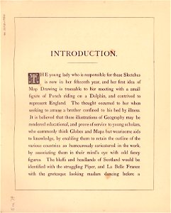
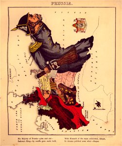
geographical fun - being humourous outlines of various countries
with an introduction and descriptive lines
national
geography
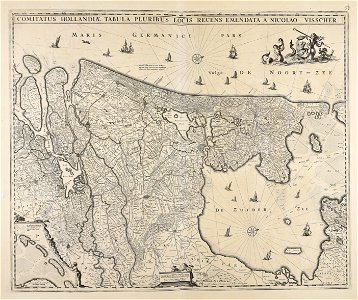
maps made in the 17th century
countries
border
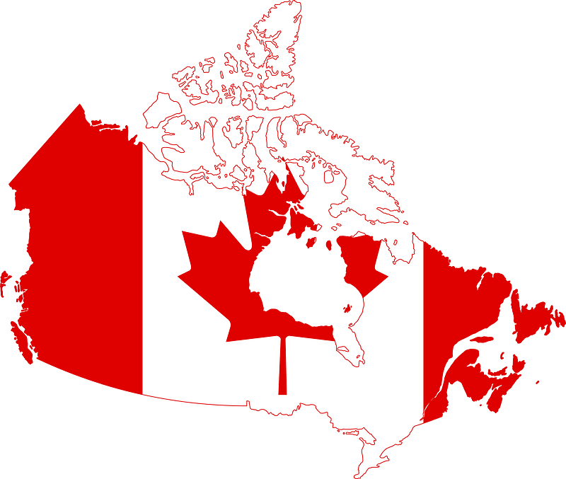
flag
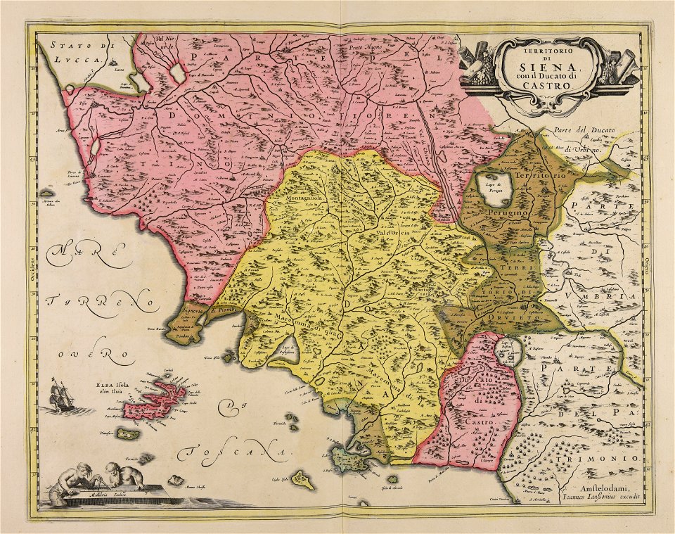
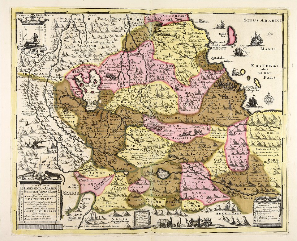
atlantis magni tomus quartus (biblioteca comunale di trento)
atlantis magni tomus quartus (biblioteca comunale di trento)
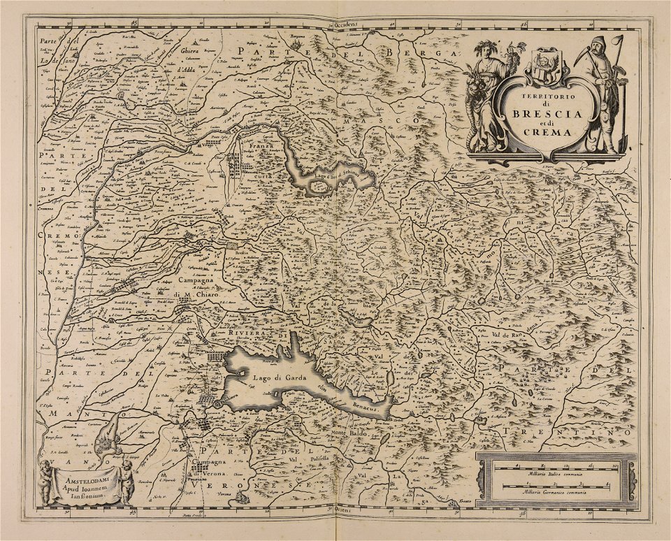
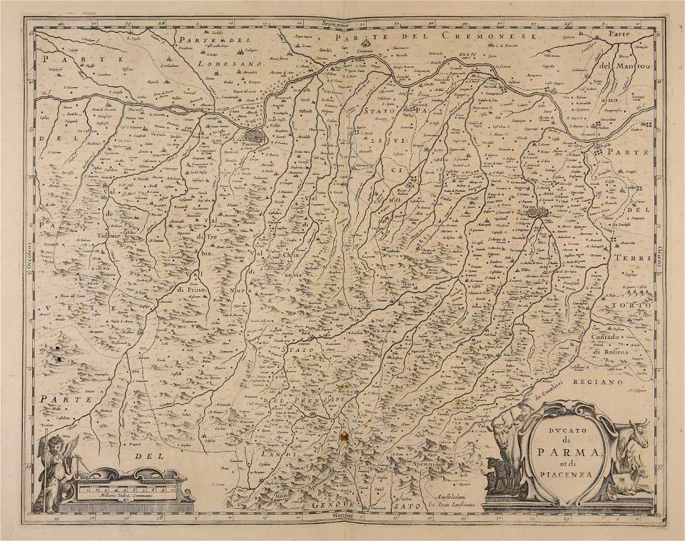
jan janssonius
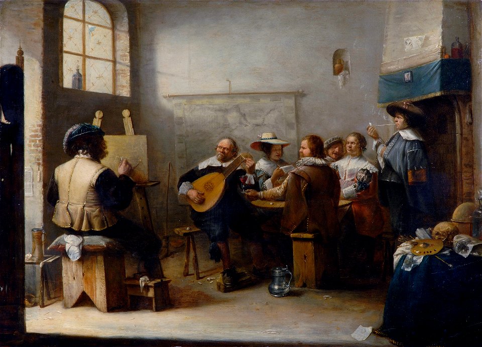
collection frits lugt
maps in art
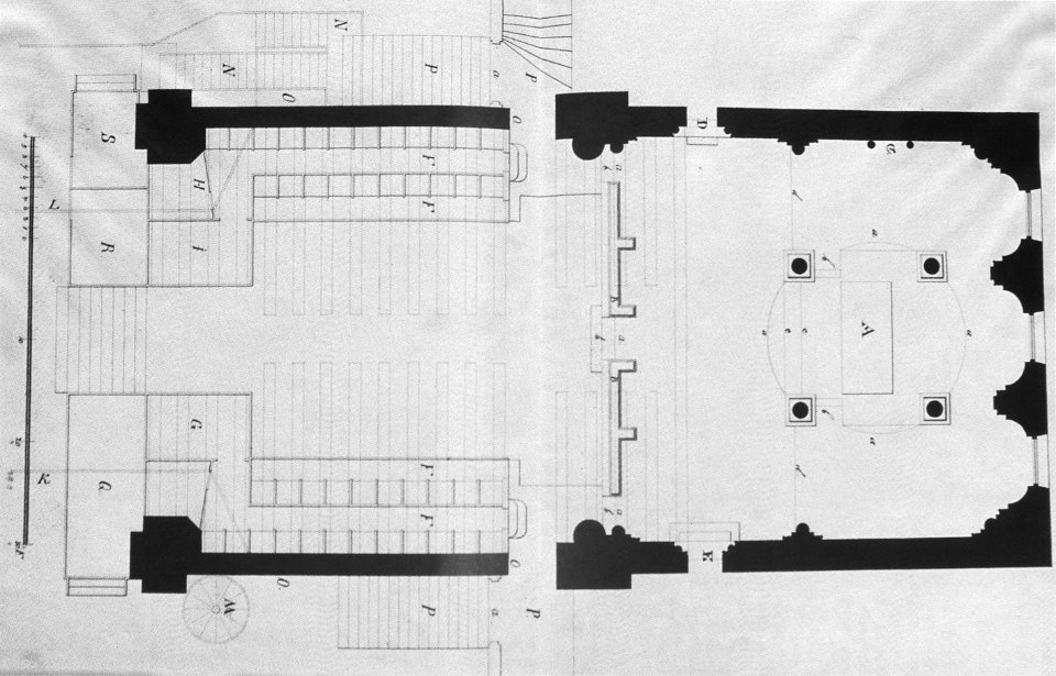
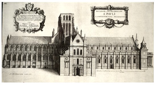
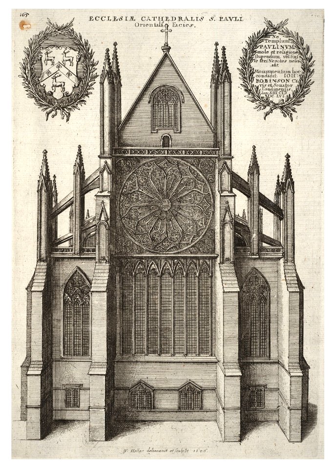
architectural prints by wenzel hollar
old st paul's cathedral
collections de la bibliothèque nationale et universitaire de strasbourg
18th-century maps of strasbourg
choir of bremen cathedral
pages with isbn errors
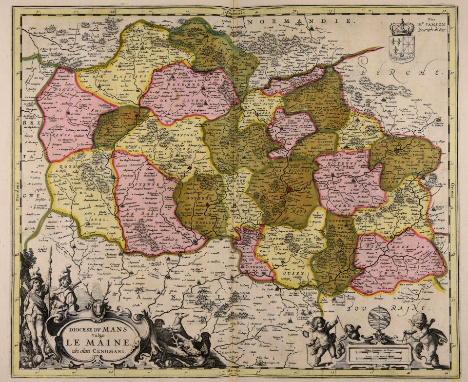
atlantis magni tomus quartus (biblioteca comunale di trento)
maps made in the 17th century
geographical fun - being humourous outlines of various countries
maps in the library of congress
geographical fun - being humourous outlines of various countries
maps in the library of congress
geographical fun - being humourous outlines of various countries
maps in the library of congress
geographical fun - being humourous outlines of various countries
maps in the library of congress
geographical fun - being humourous outlines of various countries
maps in the library of congress
geographical fun - being humourous outlines of various countries
maps in the library of congress
geographical fun - being humourous outlines of various countries
maps in the library of congress
geographical fun - being humourous outlines of various countries
maps in the library of congress
geographical fun - being humourous outlines of various countries
maps in the library of congress
geographical fun - being humourous outlines of various countries
maps in the library of congress
maps made in the 17th century
paesi bassi
history of sint-servaasbrug (maastricht)
onze lieve vrouwewal (maastricht)
cornell university library
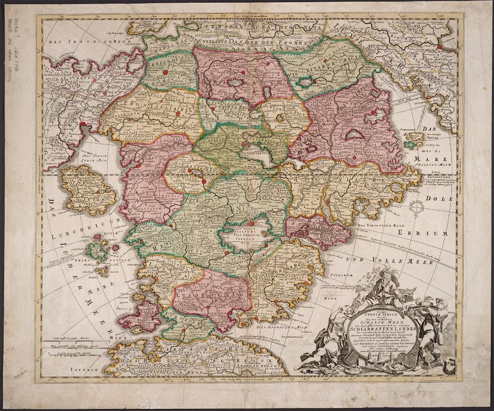
utopia
prints from hugo de groot grollæ obsidio at the peace palace library
1620s maps of the netherlands
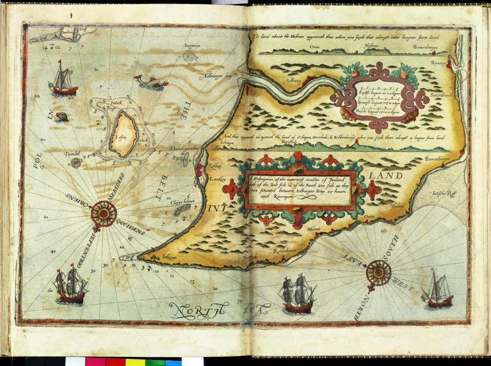
charts and maps of the royal museums greenwich
lucas janszoon waghenaer
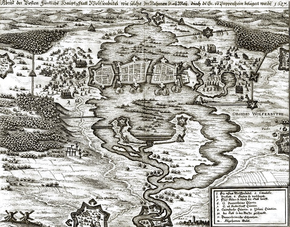
gottfried heinrich graf zu pappenheim
battles of the thirty years' war
charts and maps of the royal museums greenwich
self-published work
pages with maps
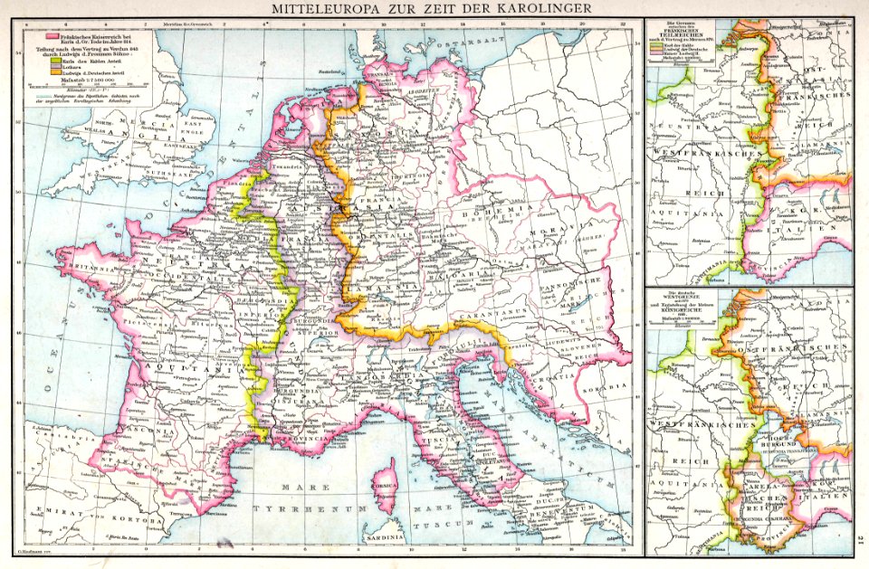
maps from allgemeiner historischer handatlas
maps of the frankish territory
self-published work
app-6
self-published work
app-6
self-published work
cc-zero
maps
flag
self-published work
map icons
unit size indicators for tactical signs and map symbols of nato
self-published work
unit size indicators for tactical signs and map symbols of nato
self-published work
maps
flag
airplane
earth
self-published work
diamond shape
maps
flag
maps
flag
travel
maps
self-published work
cc-zero
maps in skokloster castle
maps with cartouches
old administrative maps of the ottoman empire
1909 maps of asia
maps
book
symbol
maps
balloon
maps
old maps of greenland
maps
love
maps
flag
self-published work
cc-zero
unit size indicators for tactical signs and map symbols of nato
self-published work
icons
info
australia
maps
maps
flag
adventure
pirate
world map
camera
jungle
maps
magnifying glass
maps
infographic
homework
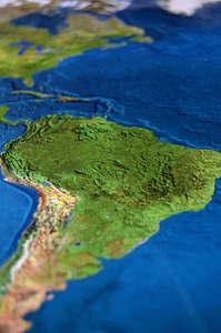
south america
maps
travel
maps
mother's day
maps
stones
maps
grain
maps
geography
maps
maps
food
brick
wall
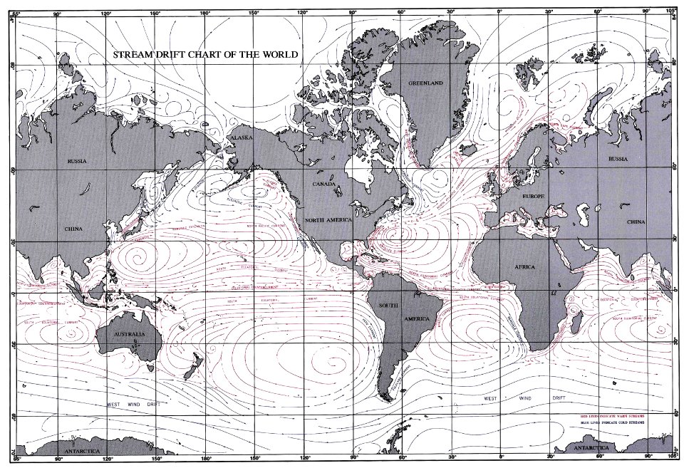
maps of ocean currents
maps of the world
maps with cartouches
atlas van der hagen
puck
1910
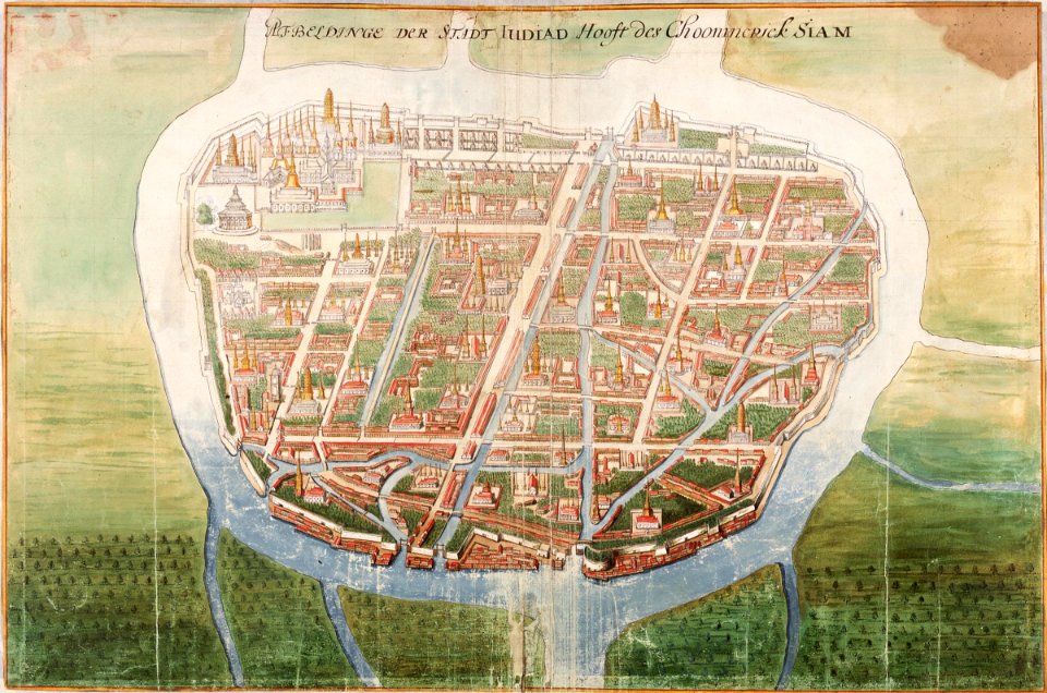
ayutthaya kingdom
1665
maps by jacques-nicolas bellin
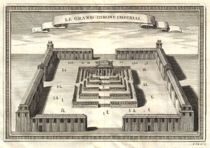
forbidden city in art
1856 maps
sakhalin
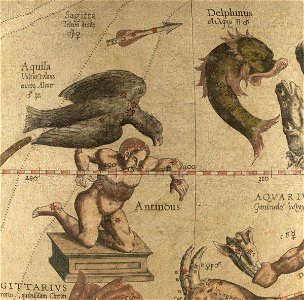
sagitta (constellation)
aquila (constellation)
drawings and watercolours of the royal museums greenwich
printing
atlantis magni tomus quartus (biblioteca comunale di trento)
maps made in the 17th century
germany
1568
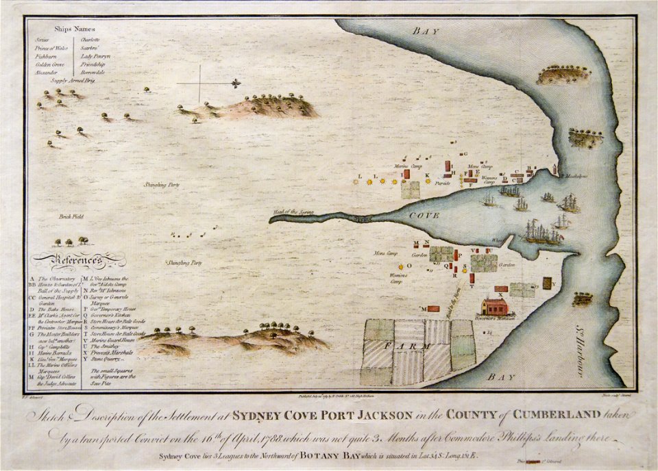
port jackson
sydney cove
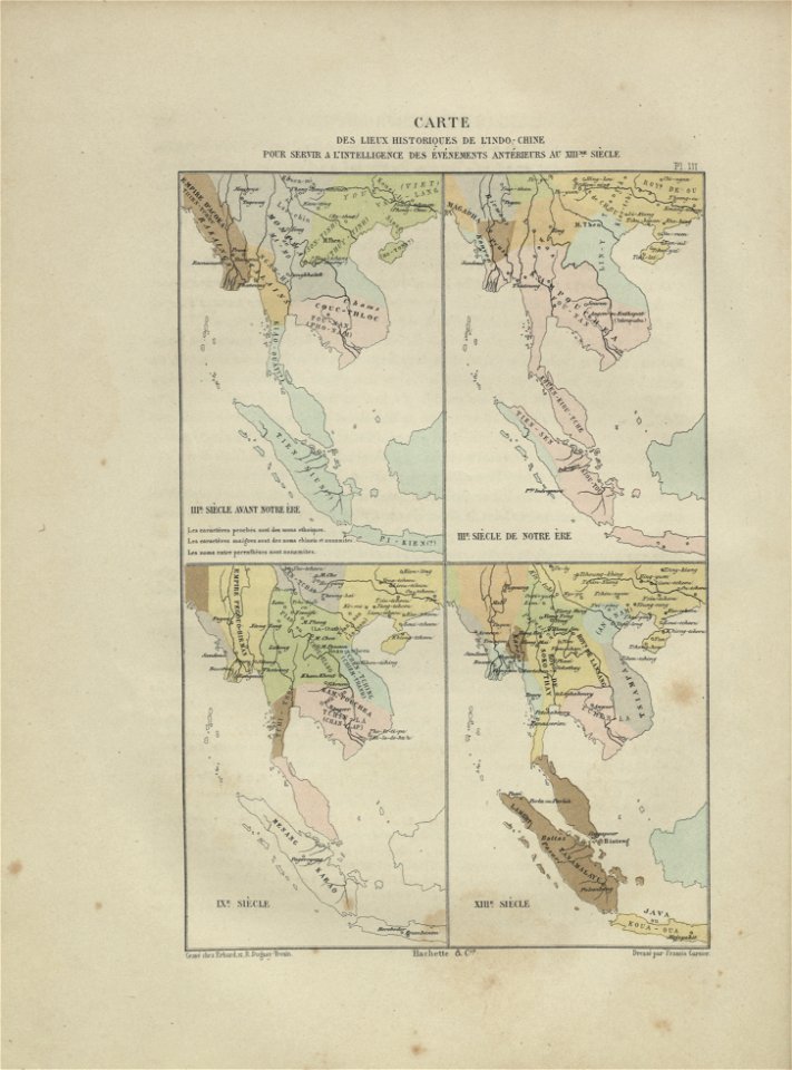
maps of indochina
francis garnier
atlantis magni tomus primus (biblioteca comunale di trento)
maps made in the 17th century
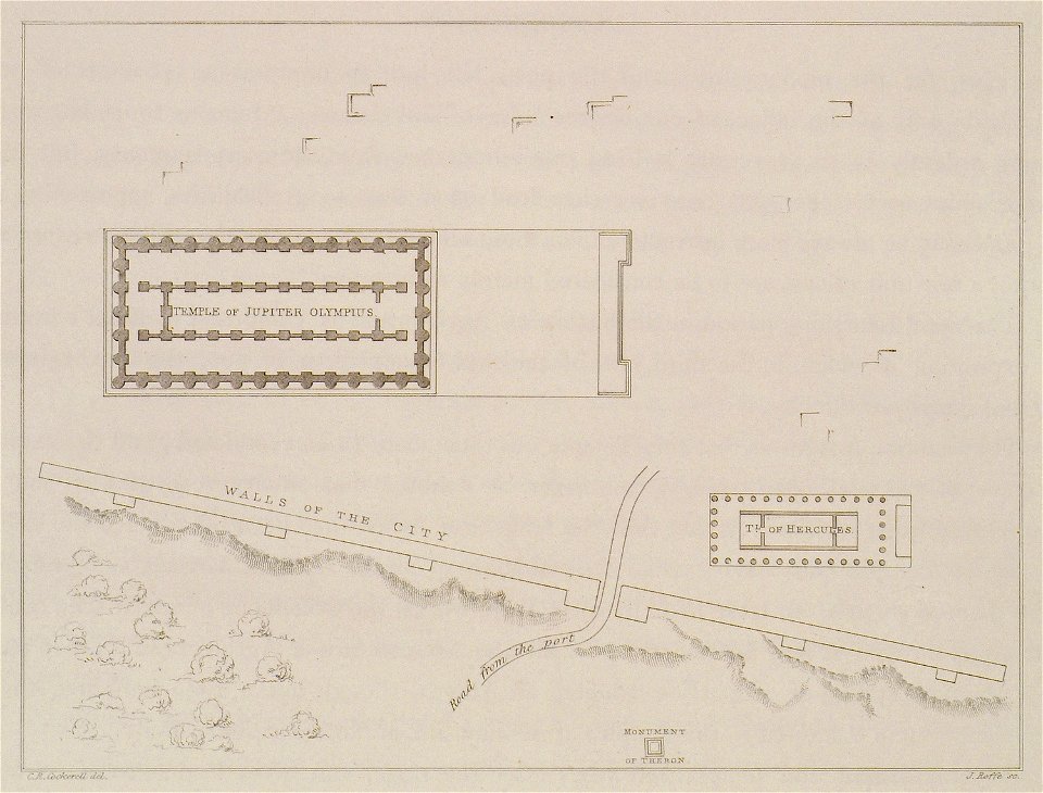
the antiquities of athens and other places in greece (1830)
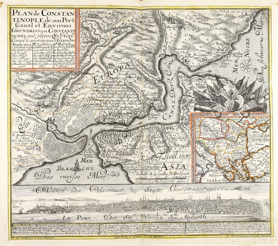
topographic maps made in 18th century
constantinople
architectural prints by wenzel hollar
old st paul's cathedral
university of toronto wenceslas hollar digital collection
sailing barge
architectural prints by wenzel hollar
old st paul's cathedral
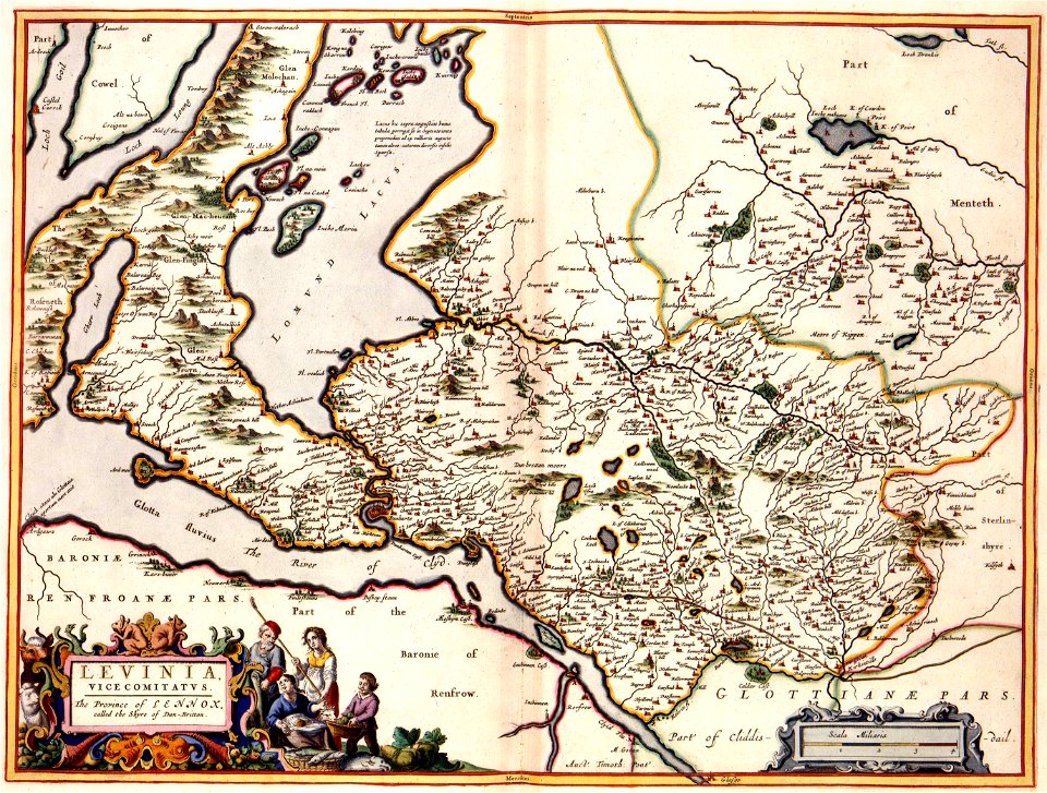
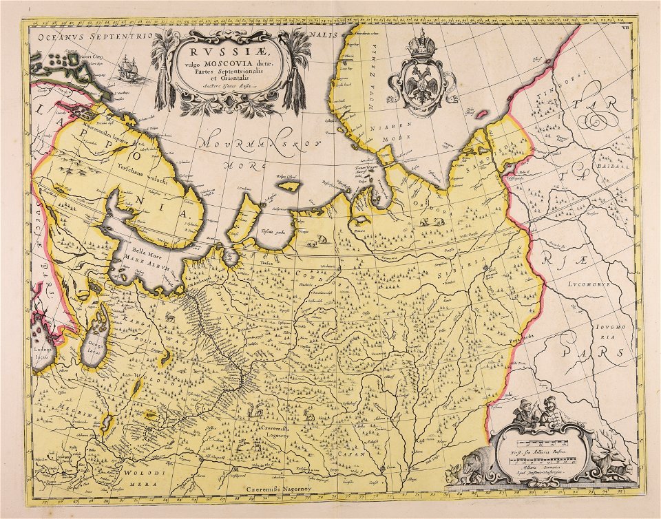
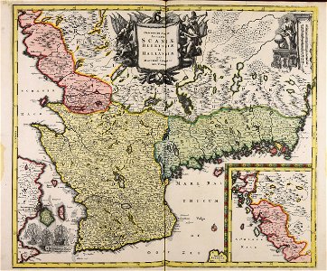
maps made in the 17th century
jan janssonius
atlantis magni tomus primus (biblioteca comunale di trento)
maps made in the 18th century
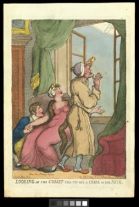
comets in art
printing
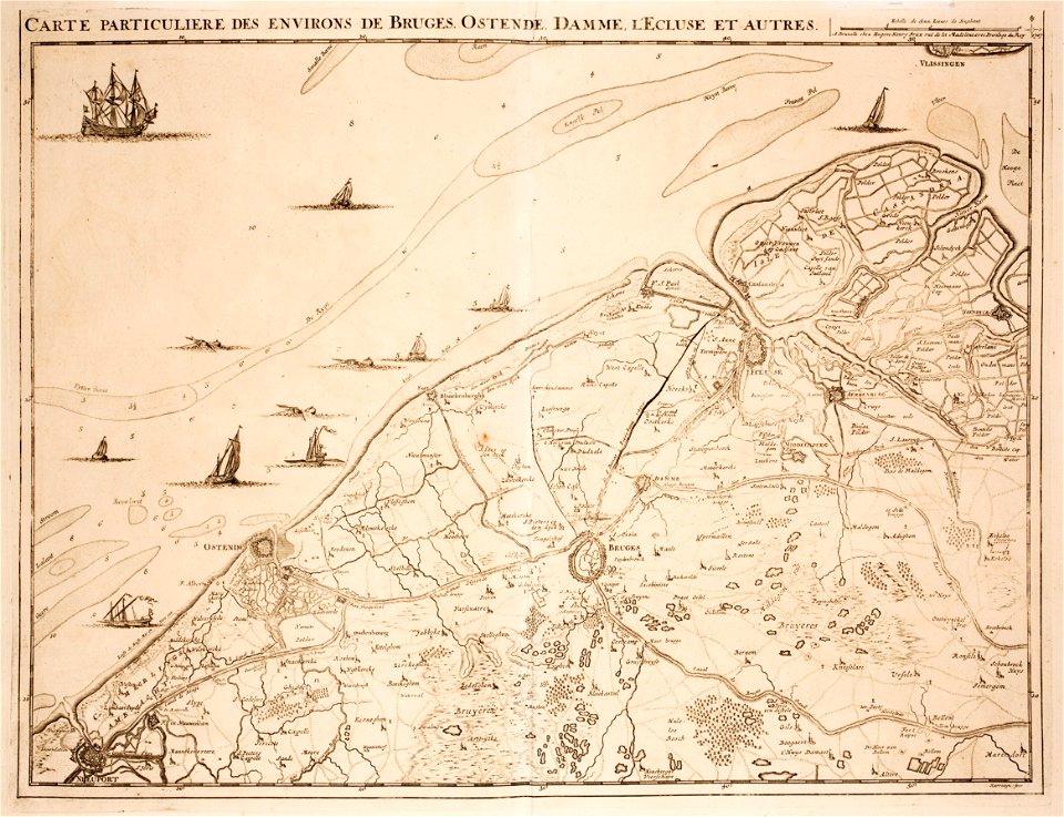
prints from fricx table des cartes des pays-bas at the peace palace library
old maps of flanders
atlantis magni tomus primus (biblioteca comunale di trento)
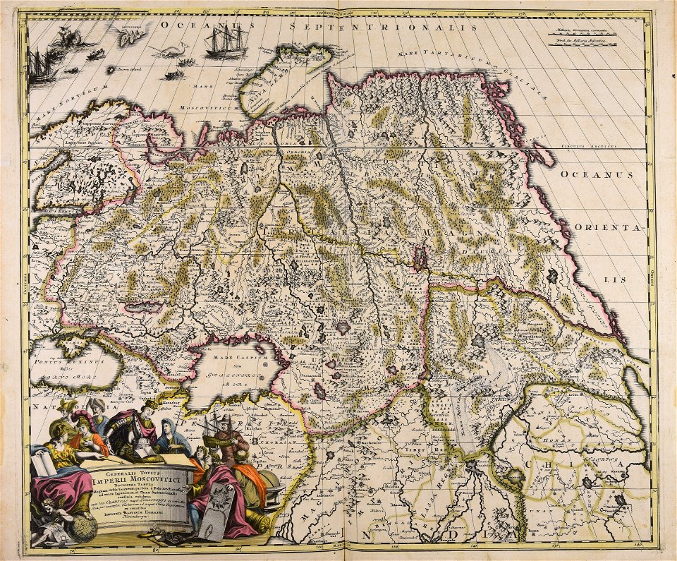
johann baptist homann
atlantis magni tomus quintus (biblioteca comunale di trento)
maps made in the 17th century
cornell university library
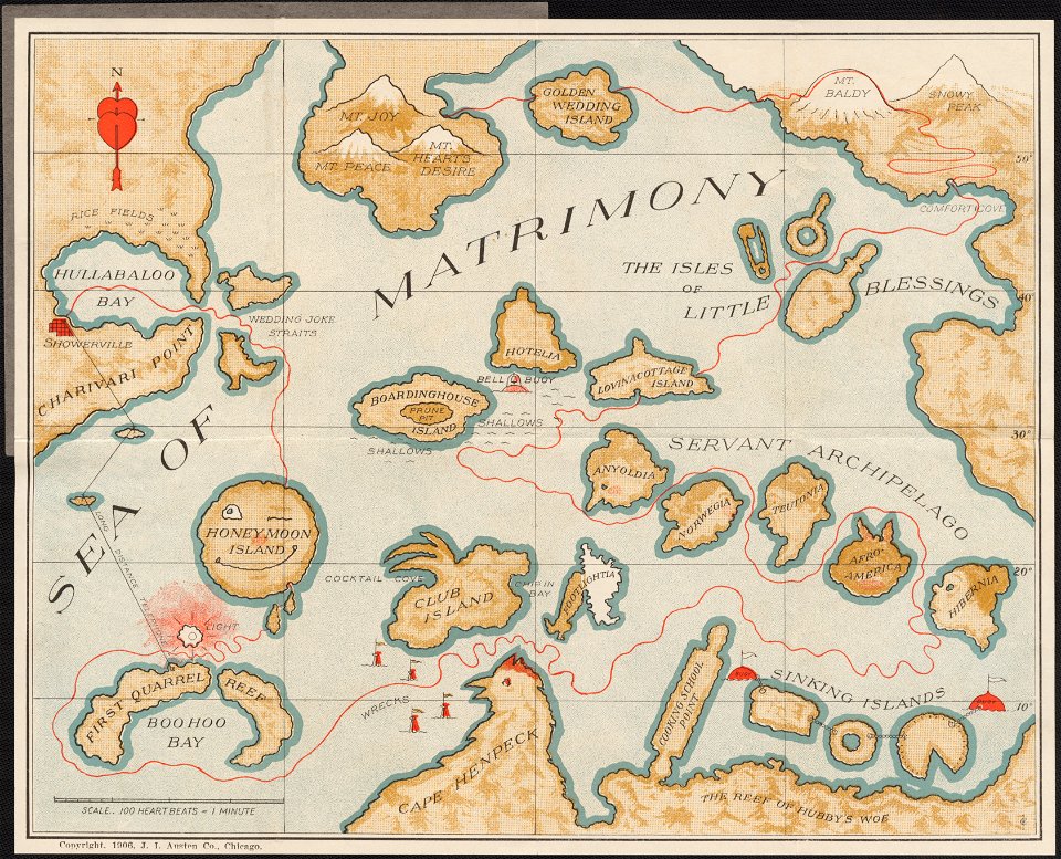
marriage in art
maps made in the 17th century
jan janssonius
geographical fun - being humourous outlines of various countries
maps in the library of congress
geographical fun - being humourous outlines of various countries
maps in the library of congress
geographical fun - being humourous outlines of various countries
maps in the library of congress
geographical fun - being humourous outlines of various countries
maps in the library of congress
geographical fun - being humourous outlines of various countries
maps in the library of congress
geographical fun - being humourous outlines of various countries
maps in the library of congress
geographical fun - being humourous outlines of various countries
maps in the library of congress
geographical fun - being humourous outlines of various countries
maps in the library of congress
geographical fun - being humourous outlines of various countries
maps in the library of congress
14801 - 14900 of 357,572
Next page
/ 3576