En
Log in
All resources
Create a design
Tools
357,572 Free Images of Maps
maps in the library of congress
ohio
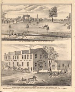
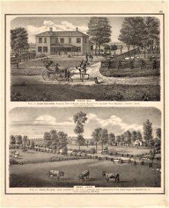
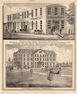
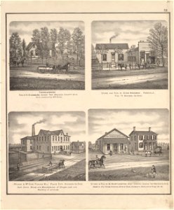
caldwell's atlas of madison co.
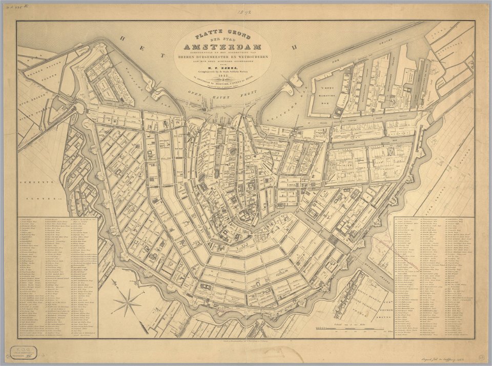
maps in the stadsarchief amsterdam
geographical illustrations by coronelli
1552
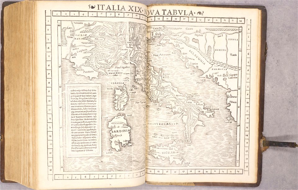
geographiae claudii ptolemaei alexandrini (münster
old maps of the peloponnese
volume 1 of le tour du monde
claes jansz. visscher (ii)
maps in the library of congress
ohio
maps in the library of congress
ohio
maps in the library of congress
ohio
maps in the library of congress
ohio
maps in the library of congress
ohio
maps in the library of congress
ohio
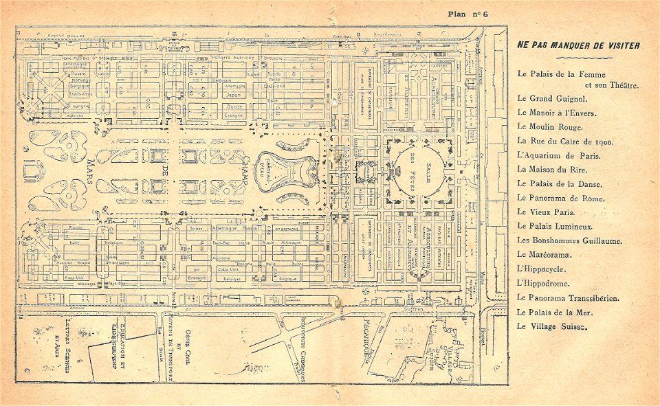
illustrations du catalogue remboursable de l'expo 1900
maps of the exposition universelle (1900)
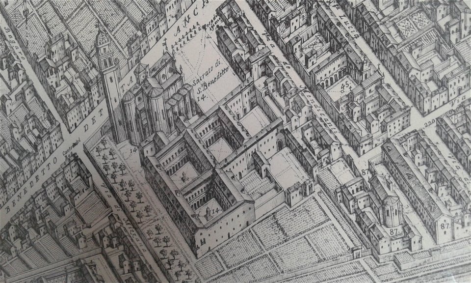
map of ferrara by andrea bolzoni
corso porta po (ferrara)
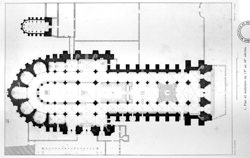
bibliothèque municipale de reims
maps of reims
old maps of havana
cuba in the 1860s
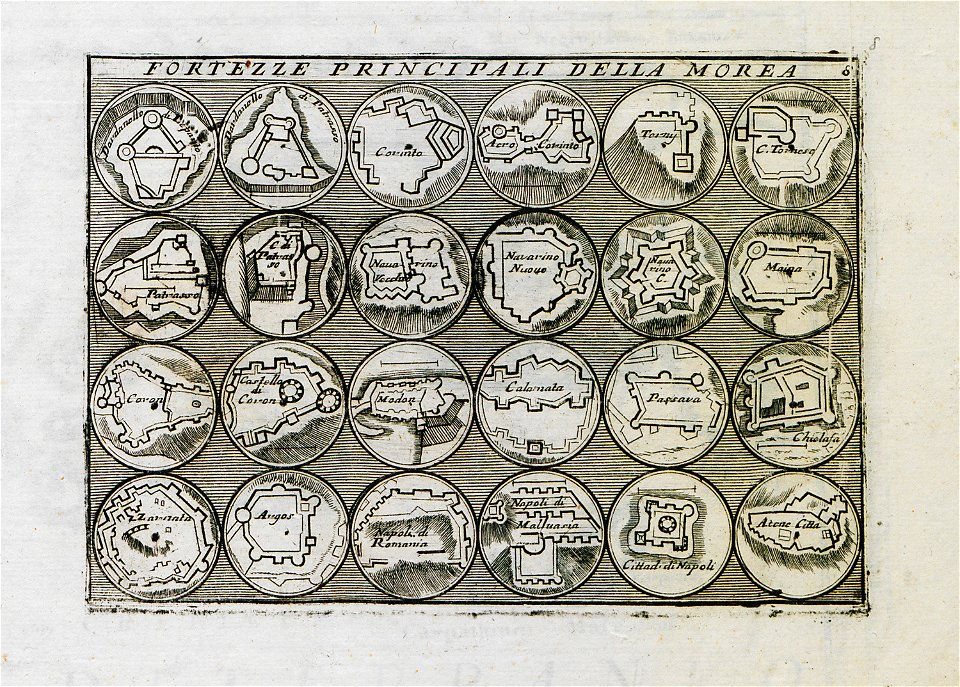
geographical illustrations by coronelli
old maps of the peloponnese
geographical illustrations by coronelli
maps of icaria
islands of california
berger collection
vättern
vänern
people with maps in art
1840 paintings
prints in the teylers museum
old maps of pernambuco
18th-century maps of berlin
1712 in berlin
old maps of asia
1552
old maps of bohemia
1552
old maps of transylvania
1552
1550s maps of africa
1552
old maps of the americas
1552
old maps of italy
1552
19th-century maps of tanzania
volume 1 of le tour du monde
volume 9 of le tour du monde
19th-century maps of egypt
prints from manesson travaux de mars at the peace palace library
maps of bruges
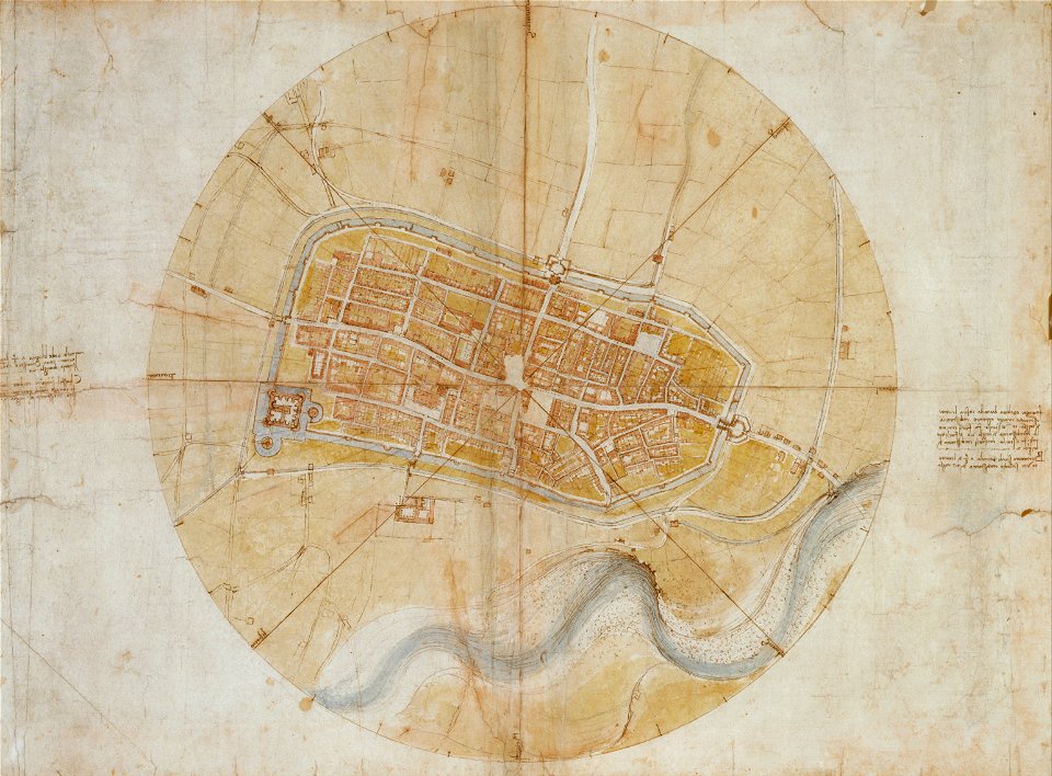
leonardo da vinci
imola
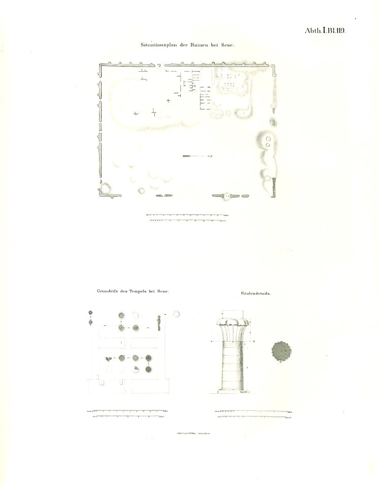
lepsius-projekt - temples
lepsius-projekt - maps
asingaborg (ulrum)
ulrum
zwolse diep (channel)
maps of the zuiderzee
old celestial maps
comet
maps in the library of congress
ohio
maps in the library of congress
ohio
maps in the library of congress
ohio
files from the bodleian libraries
old maps of the azores
geographical illustrations by coronelli
old maps of the peloponnese
19th-century maps of cuba
cuba in the 1840s
maps in the stadsarchief amsterdam
claes jansz. visscher (ii)
history of the dominican republic
1665
maps of the dutch east india company - st helena
1668
maps of the dutch east india company - sri lanka
1736
maps of the dutch east india company - south africa
1753
maps in the stadsarchief amsterdam
daniël veelwaard (i)
maps in the stadsarchief amsterdam
daniël veelwaard (i)
jan van der straet - inferno
inferno (dante)
18th-century maps of the world
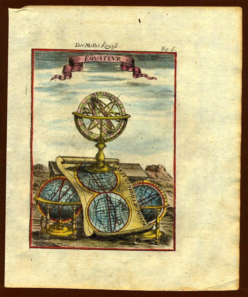
armillary spheres in art
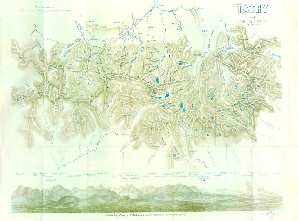
illustrowany przewodnik do tatr
pienin i szczawnic
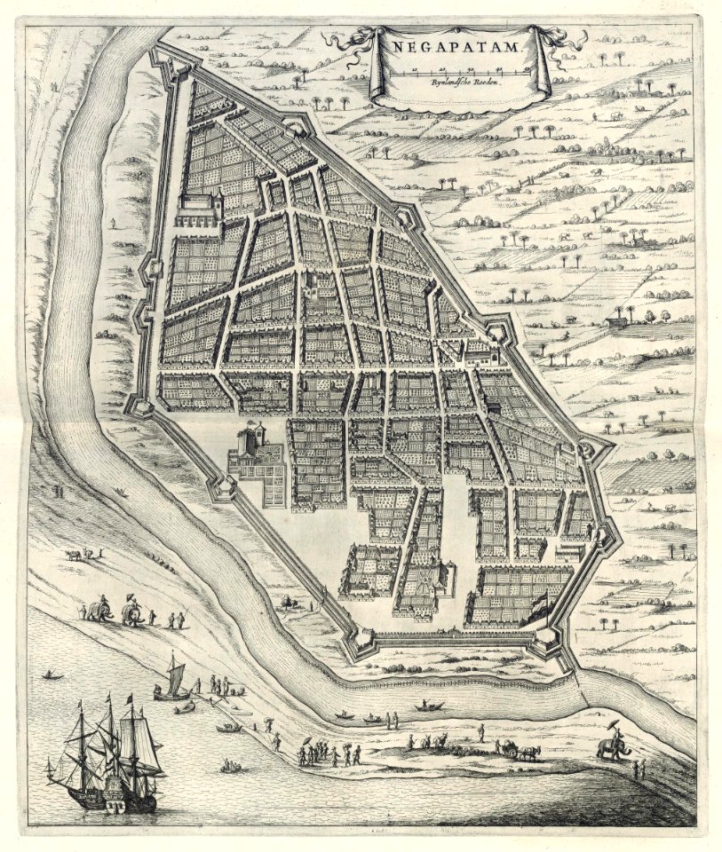
maps of the dutch east india company - india
1709
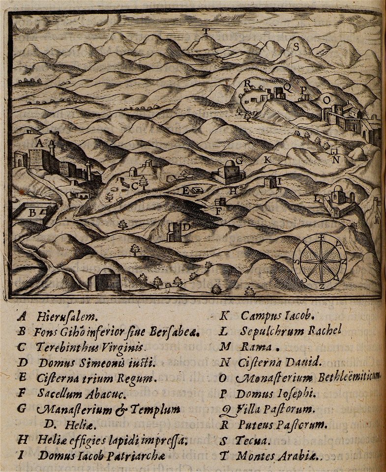
itinerarium hierosolymitanum et syriacum..., 1619
itinerario (jan huygen van linschoten)
latin-language maps
woman
girl
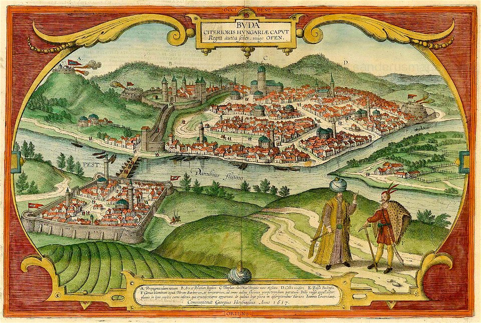
buda castle in art
buda castle
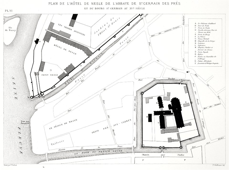
saint-germain-des-prés
lithographs of paris
woman
girl
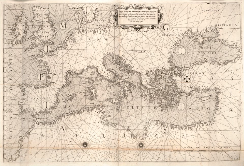
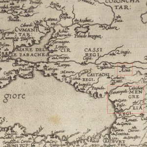
16th-century maps of the black sea
maps in the library of congress
16th-century maps of the black sea
maps in the library of congress
1715 maps of mecklenburg-vorpommern
battles of the great northern war
16th-century maps of georgia
old maps of samegrelo
self-published work
russian
drawings (documentary) collection in the library of congress
drawings by alfred waud
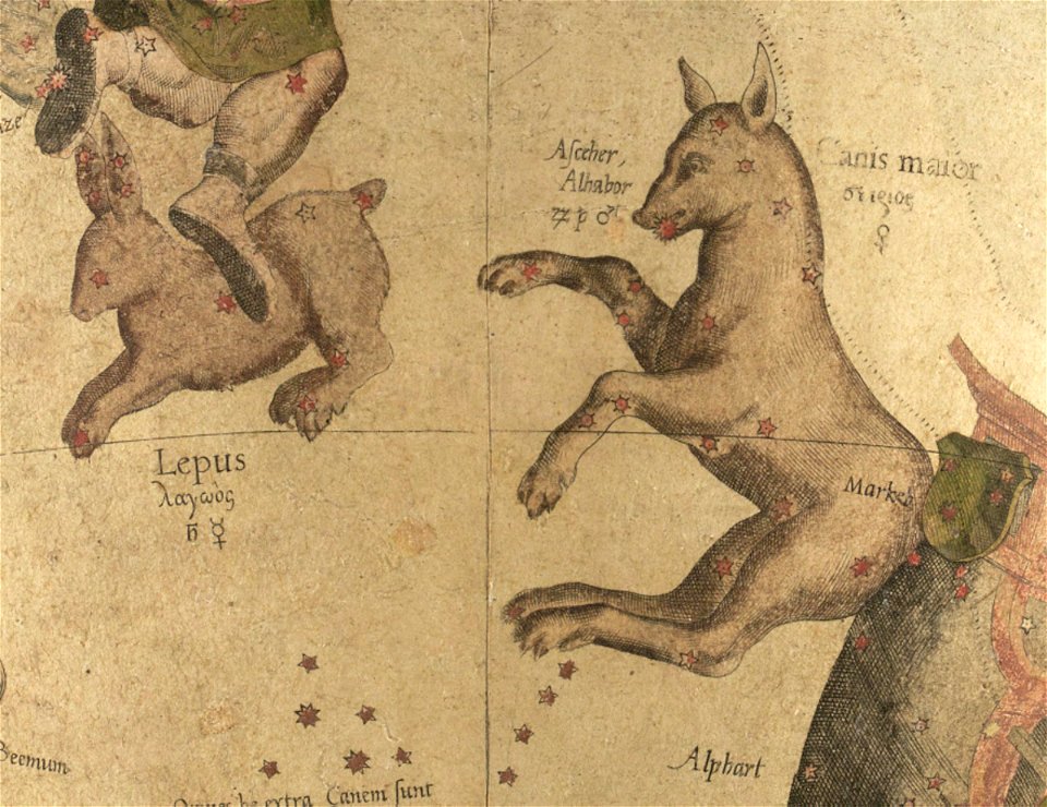
maps by gerardus mercator
mercator celestial globe
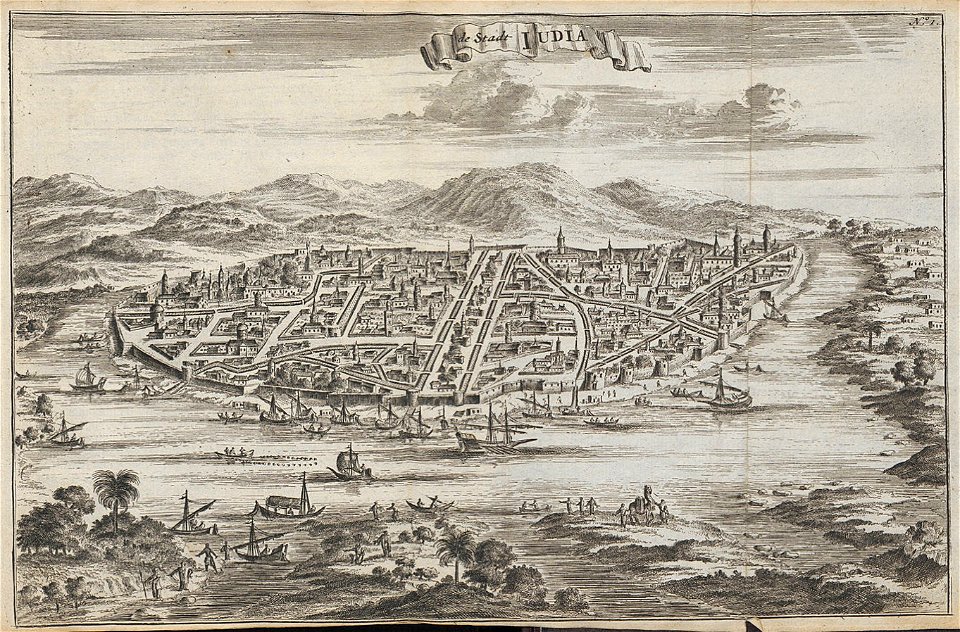
drie aanmerkelyke reizen
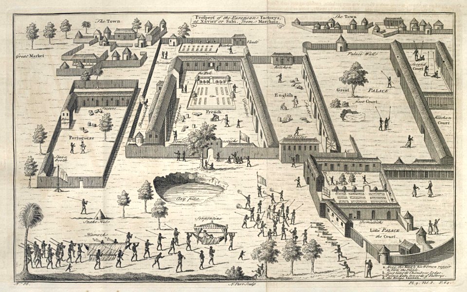
old maps of ayutthaya
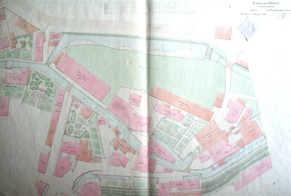
werdmühle (zürich)
zürich
charts and maps of the royal museums greenwich
lucas janszoon waghenaer
charts and maps of the royal museums greenwich
lucas janszoon waghenaer
engravings by jan luyken
1696
maps in the stadsarchief amsterdam
hendrik de leth
maps in the stadsarchief amsterdam
hendrik de leth
paintings of amsterdam
amsterdam
soldiers in art
ink drawing
weißenburg in bayern in art
maps by homannsche erben
engravings of topographia saxoniae inferioris
old maps of bremen (state)
17th-century fortress plans
military trenches
maps of yamaguchi prefecture
nagato province
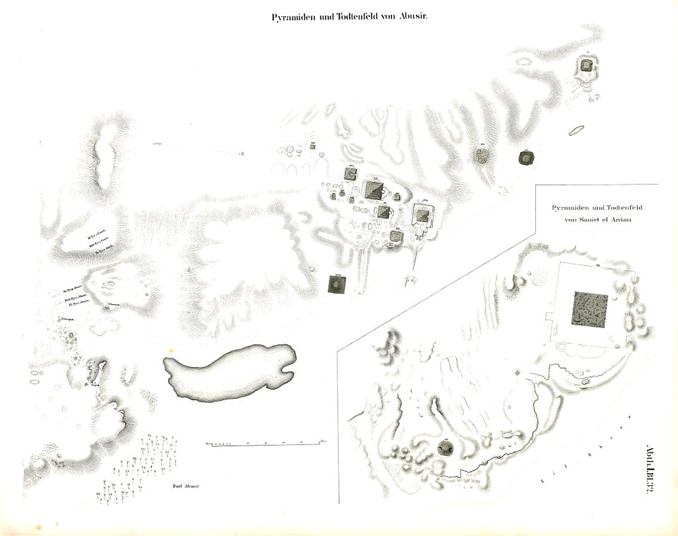
abusir pyramids
abusir
ukiyo-e by unknown artists
nagasaki-e
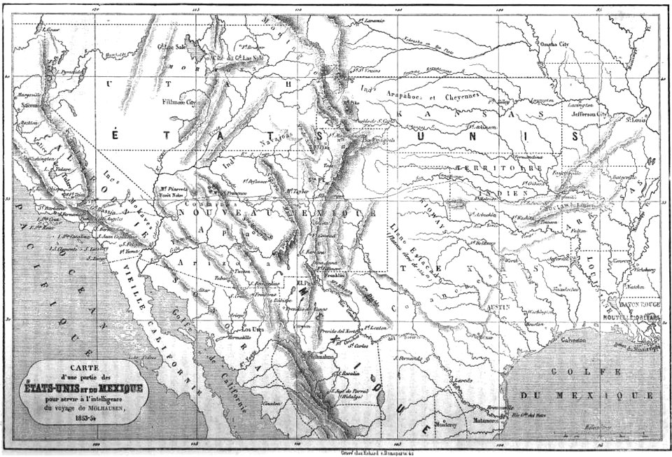
19th-century maps of the united states
volume 1 of le tour du monde
volume 4 of le tour du monde
old maps of mexico
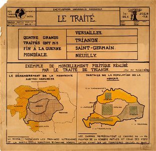
encyclopaedia universalis mundaneum
maps of the treaty of trianon
volume 1 of le tour du monde
john franklin
old maps of armentières
atlas de wit 1698
grote of lebuïnuskerk
old maps of deventer
triangulum (constellation)
andromeda (constellation)
bibliothèque municipale de reims
rès. g 153
engravings of topographia superioris saxoniae
thüringiae
maps in the stadsarchief amsterdam
claes jansz. visscher (ii)
maps in the stadsarchief amsterdam
claes jansz. visscher (ii)
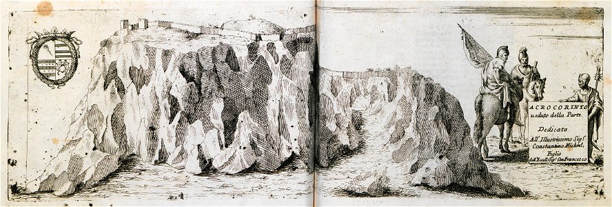
geographical illustrations by coronelli
acrocorinth in art
maps of the dutch east india company - india
1672
maps of the dutch east india company - india
1709
maps of the west-indische compagnie
1745
manuscripts in the houghton library
harvard university
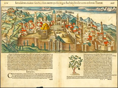
jerusalem in the 16th century
maps by sebastian münster
geographical illustrations by coronelli
history of the dodecanese
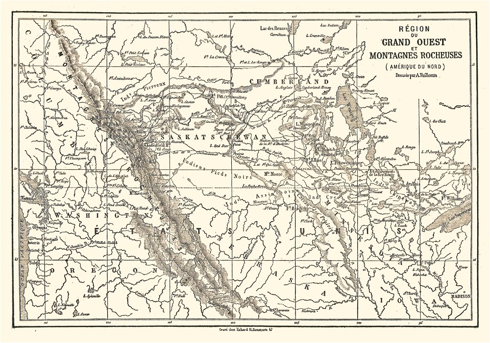
illustrations de l'histoire de la nouvelle france d'eugène guénin
maps of the rocky mountains
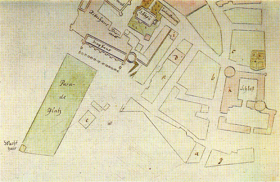
johann christoph brotze
old maps of riga
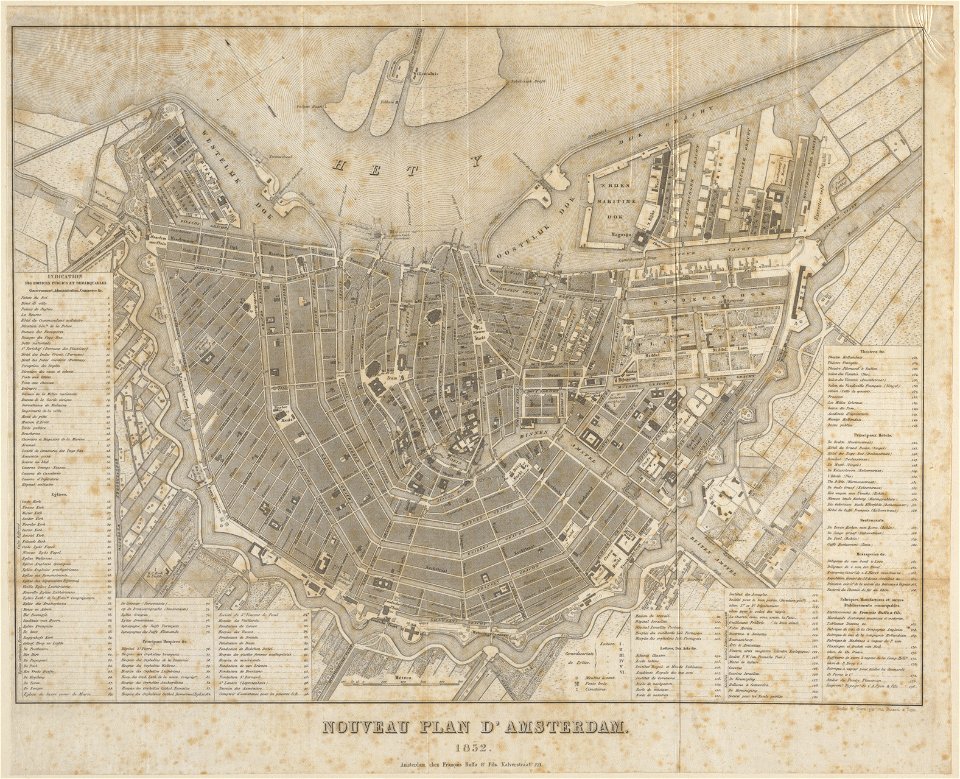
published by frans buffa & zonen
maps in the stadsarchief amsterdam
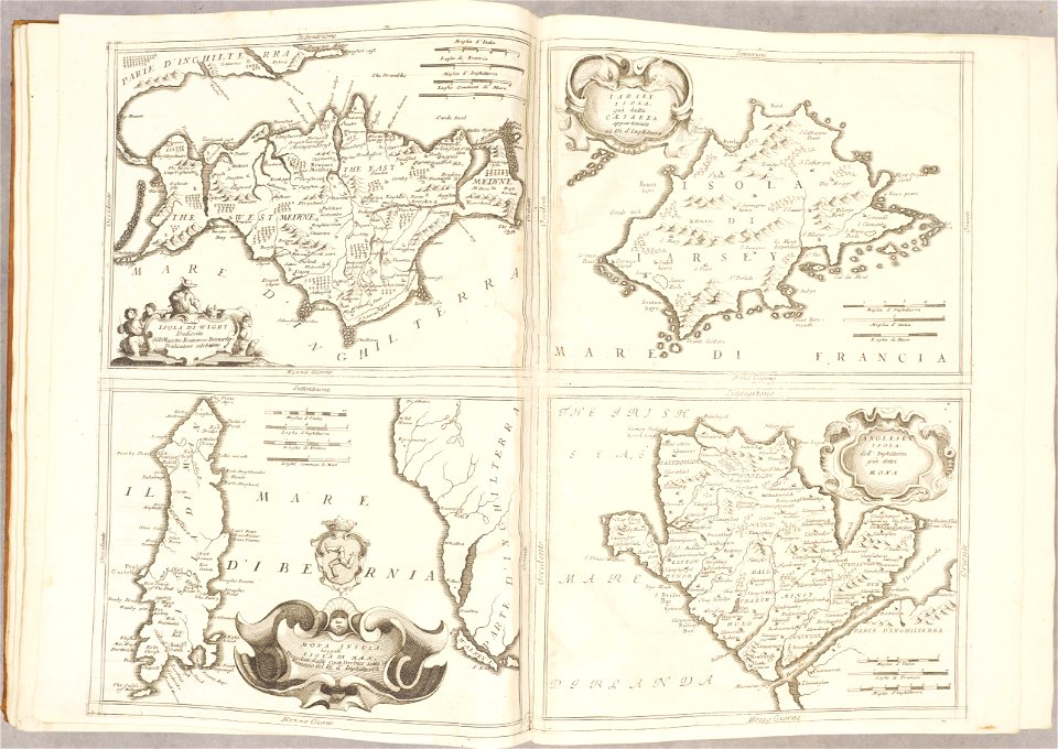
isle of wight
anglesey
geographical illustrations by coronelli
antirrio
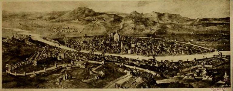
cento vedute di firenze antica
old maps of florence
12901 - 13000 of 357,572
Next page
/ 3576