En
Log in
All resources
Create a design
Tools
357,572 Free Images of Maps
maps made in the 17th century
pages with maps
cc-zero
quality images
quality images by jebulon
atlantis magni tomus quintus (biblioteca comunale di trento)
quality images missing sdc depicts
maps by pieter schenk (i)
maps made in the 18th century
gerard valck
prinsengracht
amsterdam
oudeschans
amsterdam
maps made in the 17th century
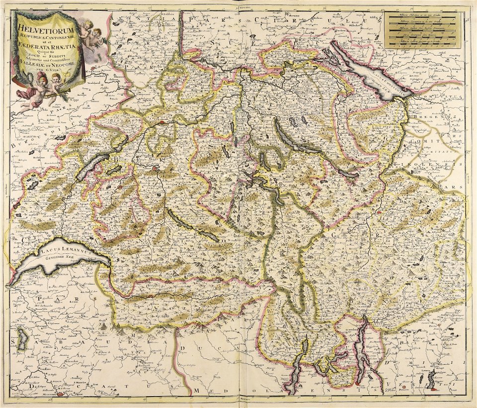
gerard valck
old maps of switzerland
maps with cartouches
maps of antwerp city walls
old maps of antwerp
gerard valck
marocco
maps made in the 17th century
nicolaes visscher ii
atlantis magni tomus secundus (biblioteca comunale di trento)
maps made in the 17th century
maps made in the 18th century
johann baptist homann
gerard valck
indonesia
cornell university library
cartography
maps made in the 18th century
maps by pieter schenk (i)
charts and maps of the royal museums greenwich
1682 maps
background
maps
background
maps
tourism
world
stone texture
architecture
reliefs of coats of arms in the province of granada
architecture
self-published work
pages with maps
le triomphe de 1810 by jean-pierre cortot
horse tail
self-published work
pages with maps
self-published work
pages with maps
self-published work
pages with maps
self-published work
storage jar
château de l'herm
2011 in dordogne
village
grass
self-published work
cincinnati ohio
travel
city
celebrities
trumpet
historical images of orléans
maps with cartouches
17th-century maps of france
maps with cartouches
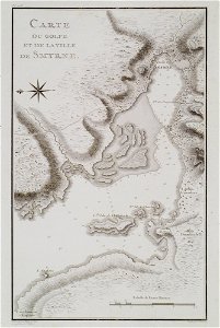
voyage pittoresque de la grèce
i̇zmir in the 18th century
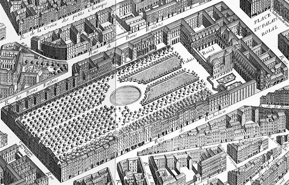
gilles-marie oppenord
palais-royal
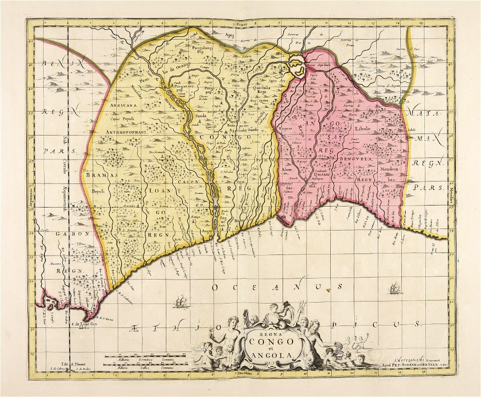
gerard valck
angola
maps made in the 18th century
gerard valck
architectural prints by wenzel hollar
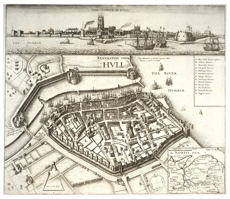
fortifications of kingston upon hull
maps by willem and johannes blaeu
maps made in the 17th century
maps made in the 17th century
old maps of gelderland
hôtel de guénégaud (quai de nevers)
hôtel de nevers (left bank)
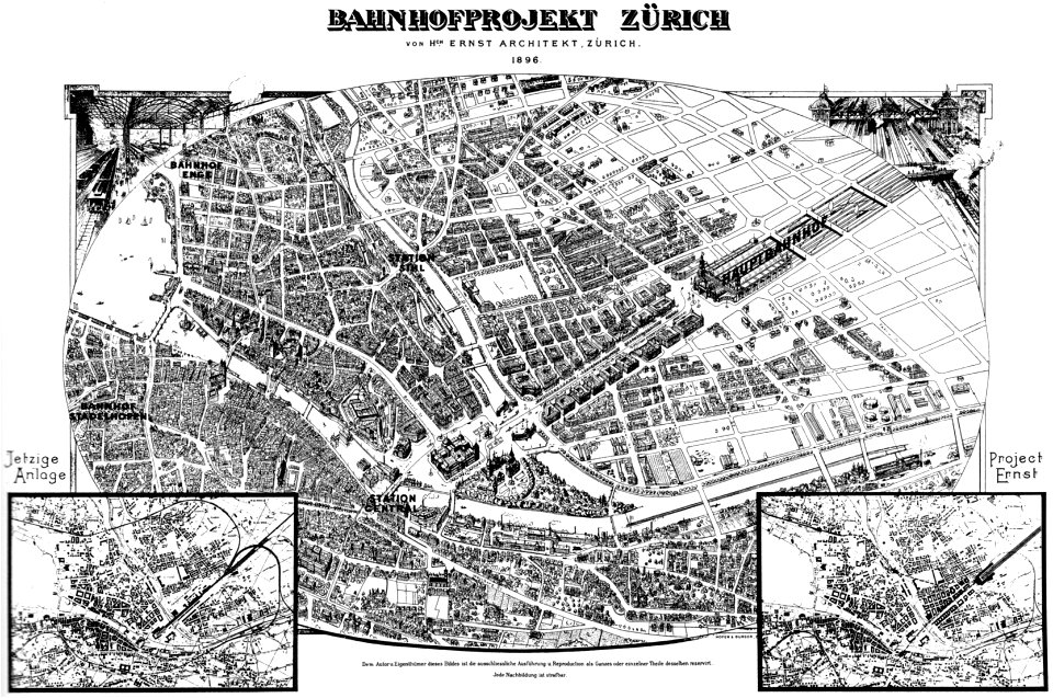
history of rail transport in switzerland
aussersihl
symbols for hydrogeological maps
self-published work
symbols for hydrogeological maps
self-published work
national anthem
continent
peace
dove
maps
usa
maps made in the 18th century
johann baptist homann
maps made in the 18th century
johann baptist homann
maps made in the 18th century
johann baptist homann
maps made in the 18th century
johann baptist homann
maps made in the 17th century
cornelis danckerts (i)
charts and maps of the royal museums greenwich
1590 maps
atlantis magni tomus tertius (biblioteca comunale di trento)
maps made in the 17th century
maps made in the 17th century
gerard valck
munich in the 19th century
old city maps of munich
prints from the peace palace library
lucan
atlantis magni tomus quintus (biblioteca comunale di trento)
maps made in the 17th century
french colonization in africa
military maps
maps by johannes janssonius
severnaya dvina river
17th-century maps of france
maps with cartouches
18th-century maps of schleswig-holstein
maps by pieter schenk (i)
old maps of île de la cité
île saint-louis
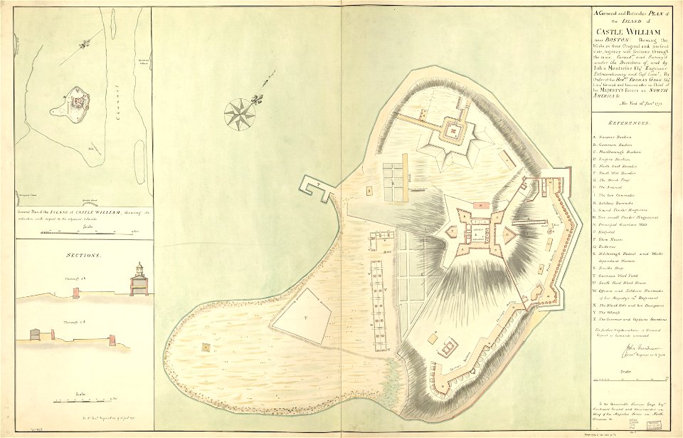
fort independence (massachusetts)
maps in the library of congress
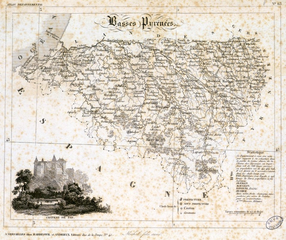
fonds ancely - bibliothèque municipale de toulouse - maps
historical images of pau
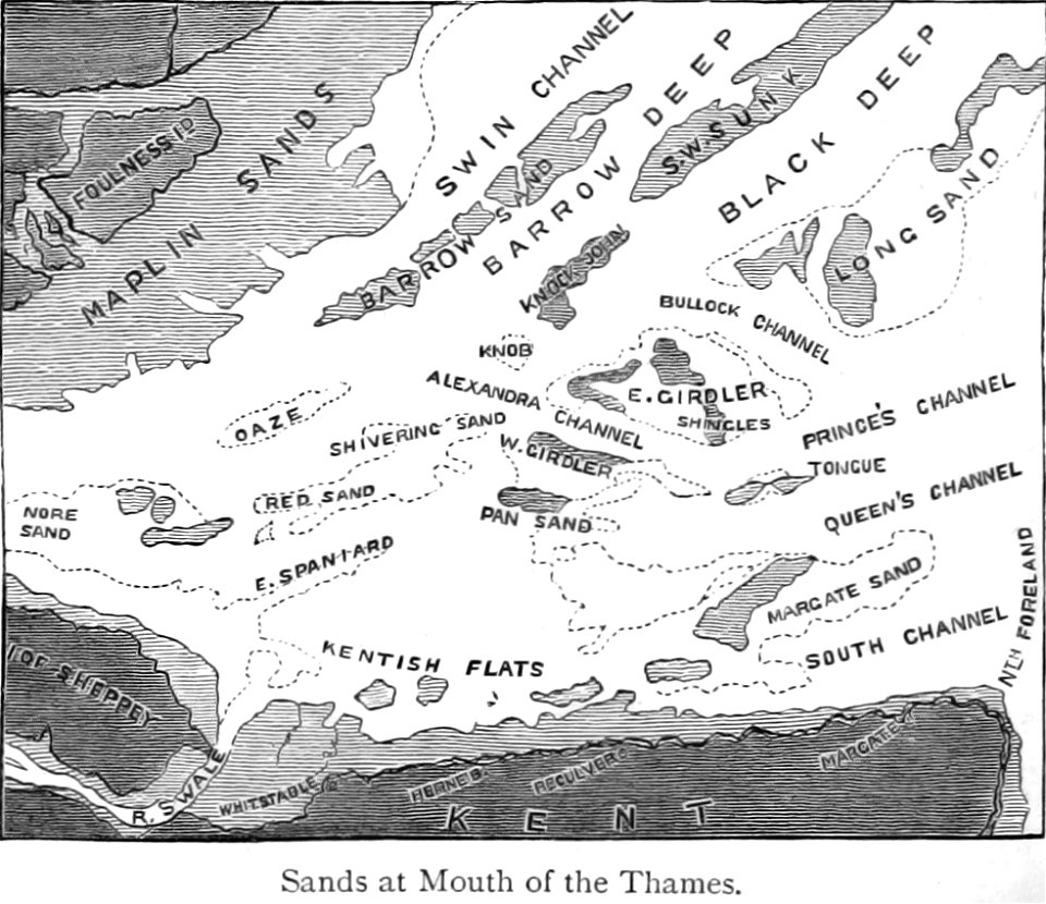
maps from the mechanical curator collection
buoy
bamako in the 1880s
military maps
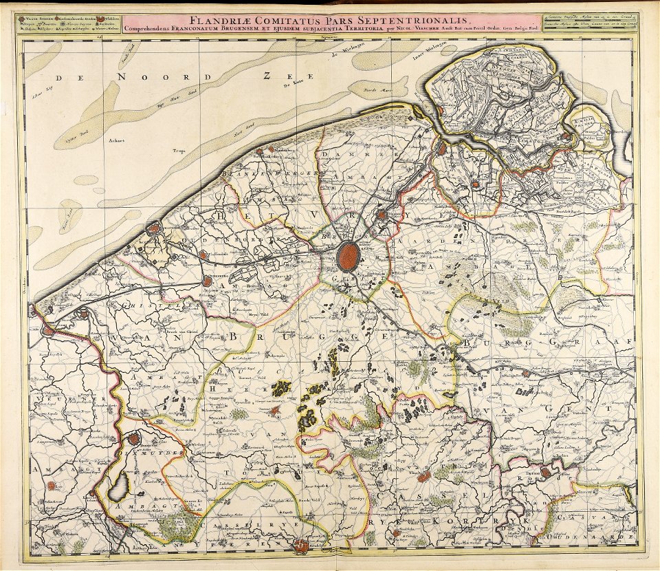
maps made in the 17th century
nicolaes visscher ii
maps made in the 17th century
maps by nicolaes visscher i
maps of stockholm by petrus tillaeus
nybroviken
relation of a journey (sandys)
description de l'universe
art of mauritius
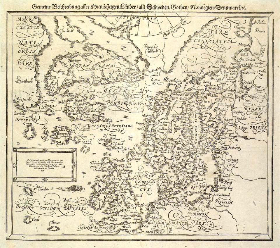
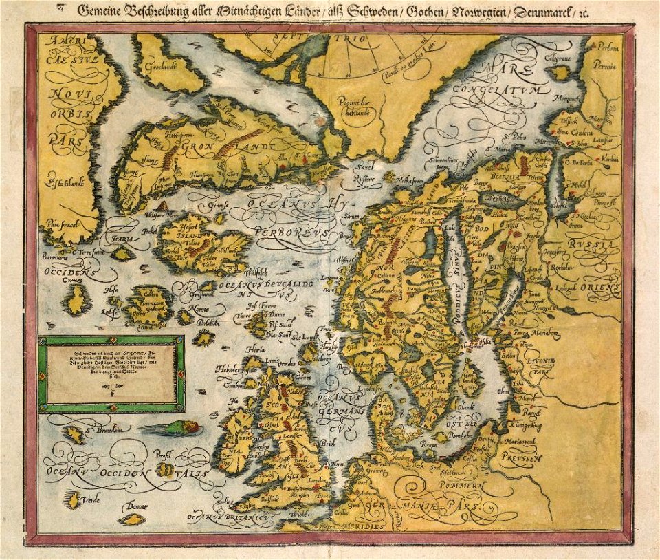
cosmographia (1600) by sebastian münster
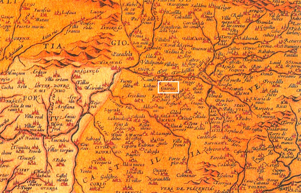
1570s maps of spain
1572 in spain
maps of lars kietzlingh
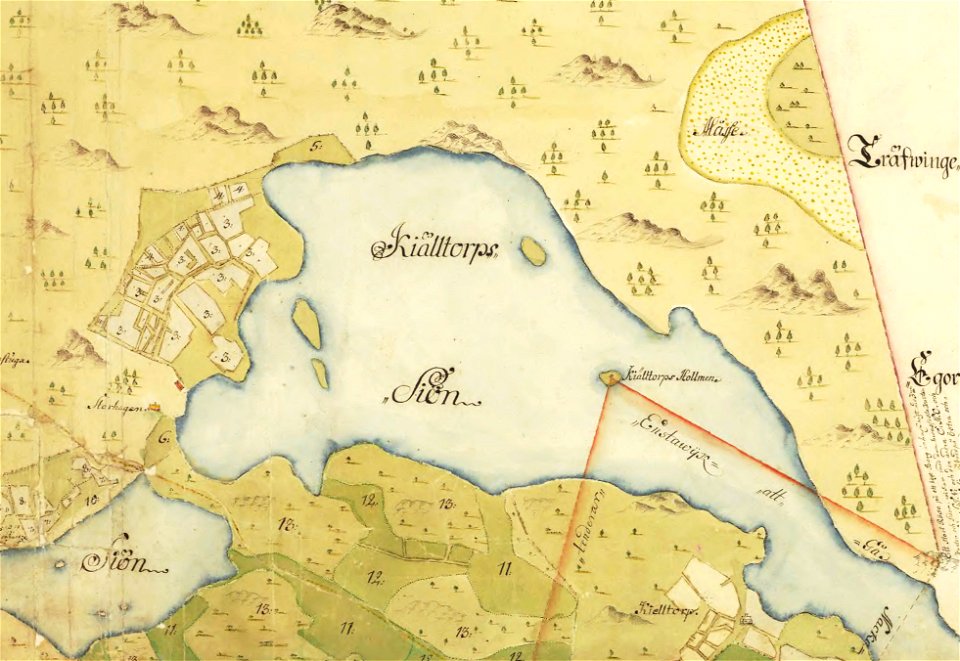
källtorpssjön
description de l'universe
old map
provided by landsbókasafn íslands
16th-century maps of iceland
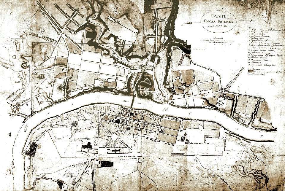
historical images of viciebsk
maps of viciebsk
historical images of słonim
maps of slonim
provided by landsbókasafn íslands
19th-century maps of iceland
provided by landsbókasafn íslands
16th-century maps of iceland
provided by landsbókasafn íslands
16th-century maps of iceland
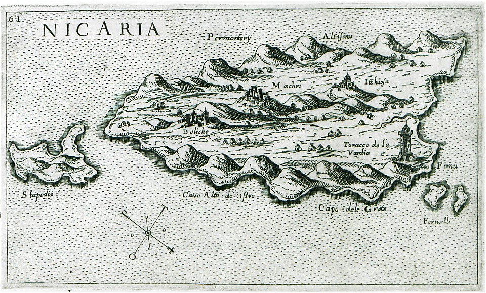
giuseppe rosaccio
maps of icaria
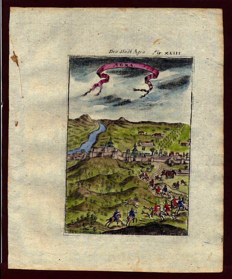
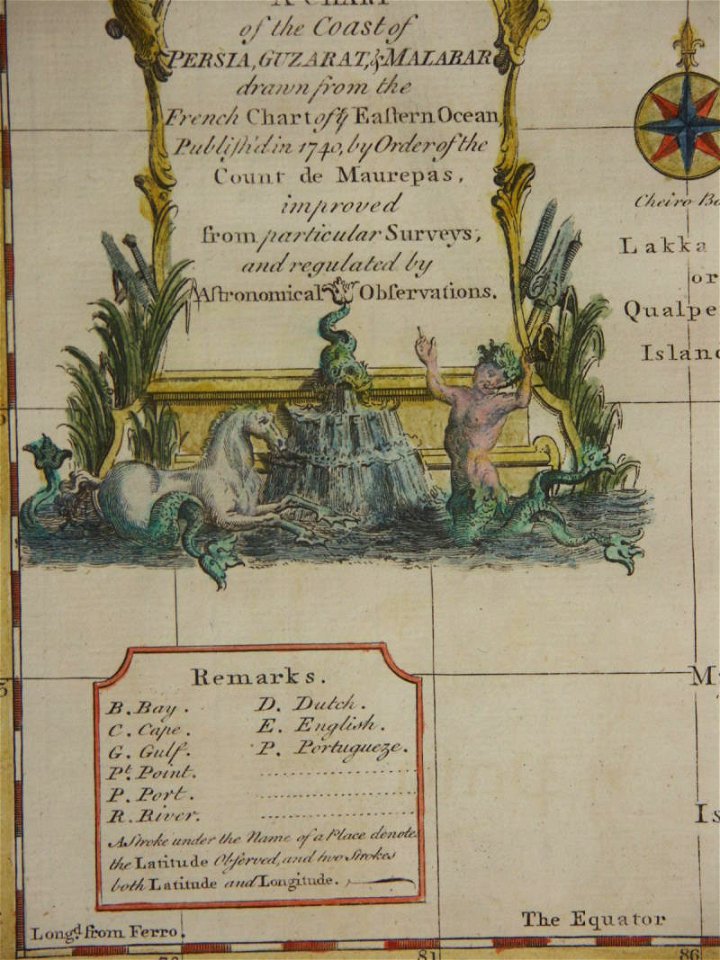
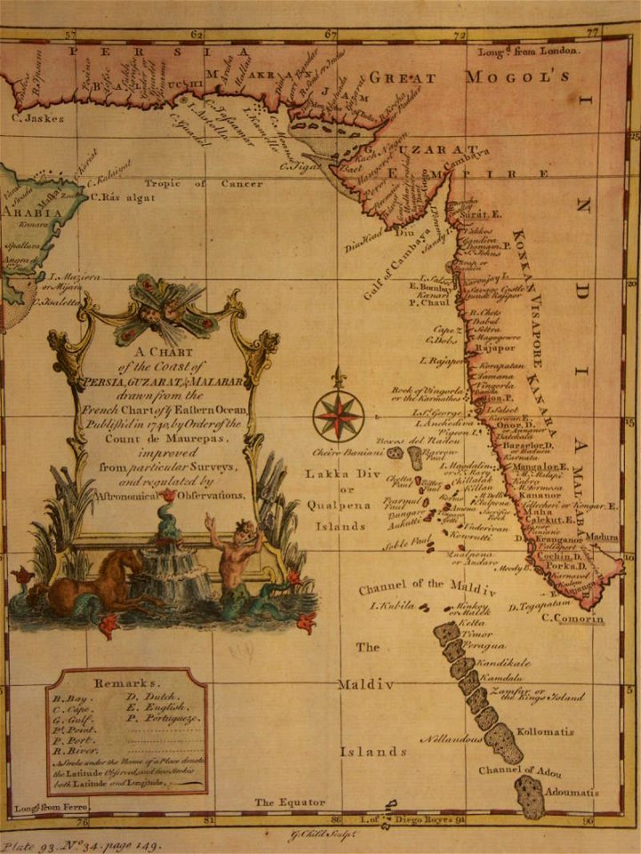
18th-century maps of india
thomas salmon (historian)
18th-century maps of india
thomas salmon (historian)
johann george schreiber
old maps of saxony
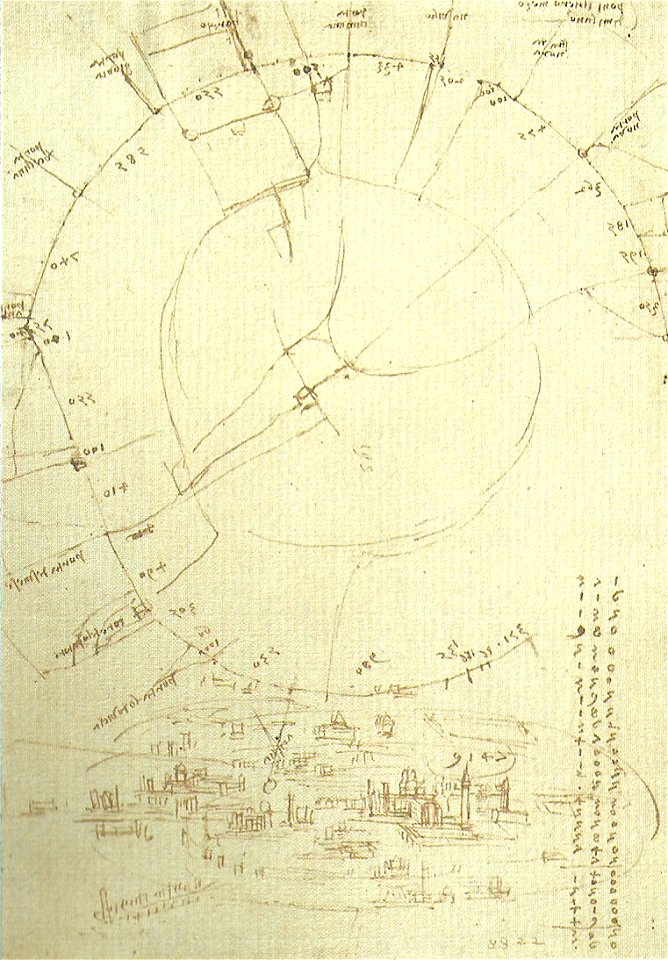
codex atlanticus (f0199)
old maps of milan
historical plans of yaroslavl
1883 maps
frézier's travel
bahia
historical images of čerykaŭ
maps of čerykaŭ
maps of aachen by braun & hogenberg
maps of brussels by braun & hogenberg
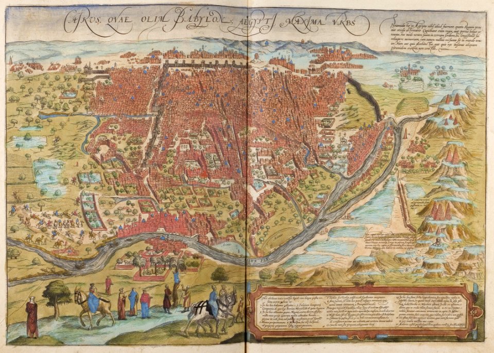
map of cairo by braun & hogenberg
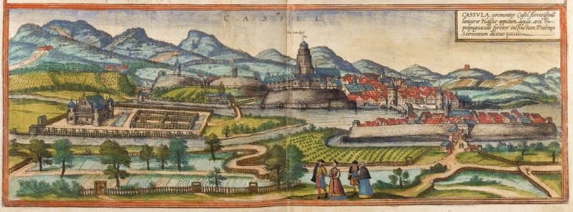
map of kassel by braun & hogenberg
braun & hogenberg
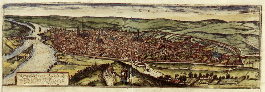
old maps of rouen
old maps of europe
elementarwerk
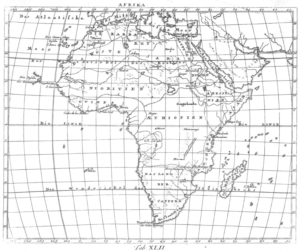
1770s maps of africa
elementarwerk
viceroyalty of peru
1646
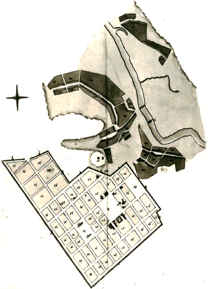
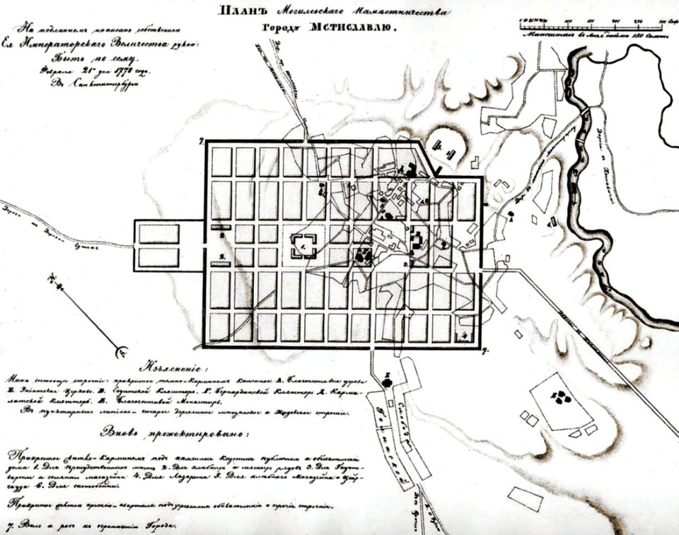
historical images of mscislaŭ
maps of mscislaŭ
historical images of mscislaŭ
maps of mscislaŭ
1623
andreas cellarius
10401 - 10500 of 357,572
Next page
/ 3576