En
Log in
All resources
Create a design
Tools
357,572 Free Images of Mapping
maps
geography
flag
national
countries
border
svg
abstract
shape
globe
background
maps
illustration
maps
ornament
world
maps
flag
background
maps
germany
white
ancient
america
continent
geography
lawrence h. slaughter collection of english maps, charts, globes, books and atlases
nypl lionel pincus and princess firyal map division
self-published work
map icons
maps with cartouches
old maps of bohemia
self-published work
landscape
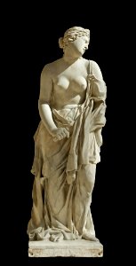
marble sculptures in the louvre
17th-century marble statues
architecture
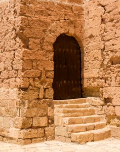
stone stairs
self-published work
pages with maps
maps
flag
maps
flag
planet
maps
maps
flag
maps
flag
maps
flag
places-of-interest map locators
self-published work
self-published work
flags of ingria
cross symbols
cross
self-published work
app-6
self-published work
tower
planet
maps
glass of water
faucet
16th-century maps of portugal
old maps of portugal
maps of sino-indian border dispute
xikang
norway, sweden, and denmark- with excursions to iceland and spitzbergen; handbook for travellers (1909)
maps of skansen
maps in skokloster castle
1770 maps
finger
blur
agriculture
bird
adventure
people
maps of midian
darts
planet
maps
maps
flag
continent
maps
self-published work
app-6a
self-published work
cc-zero
self-published work
yellow
unit size indicators for tactical signs and map symbols of nato
self-published work
self-published work
communism
maps
flag
old maps of sierra leone
old maps of liberia
building
hunting
illinois
chicago
maps in skokloster castle
1776 maps
self-published work
cc-zero
money
maps
skillshare 2010 stadtarchiv
stadtarchiv lüneburg
maps in skokloster castle
1720 maps
18th-century maps of sweden
maps in skokloster castle
jacques-nicolas bellin
maps of îles de glénan
bird
maps
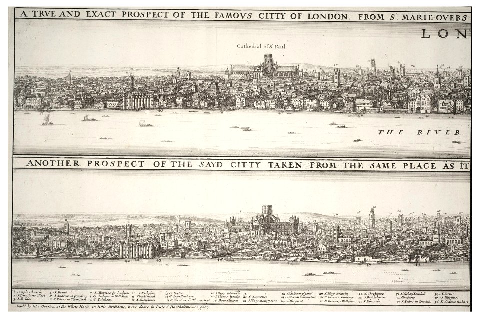
prints by wenzel hollar
great fire of london
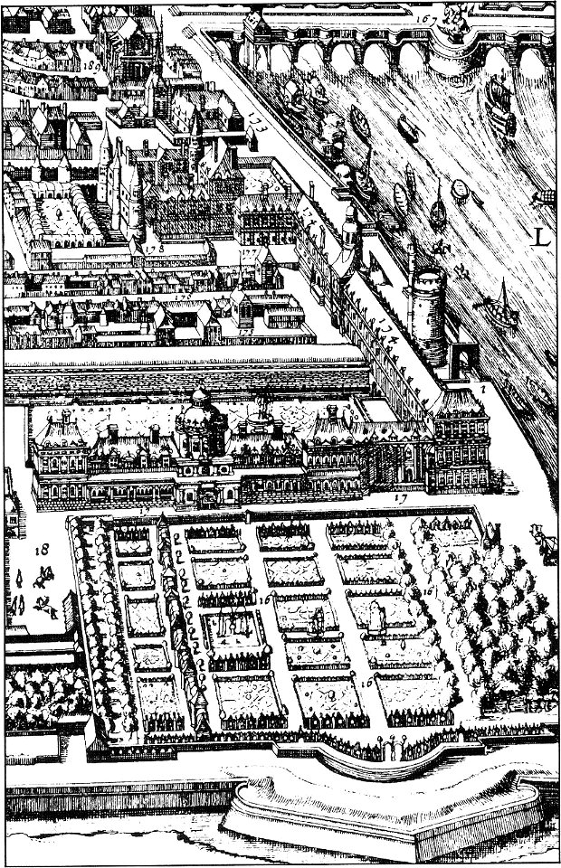
palais du louvre in the 1610s
palais du louvre on old maps
prints from bonne atlas de toutes les parties at the peace palace library
dien (printer)
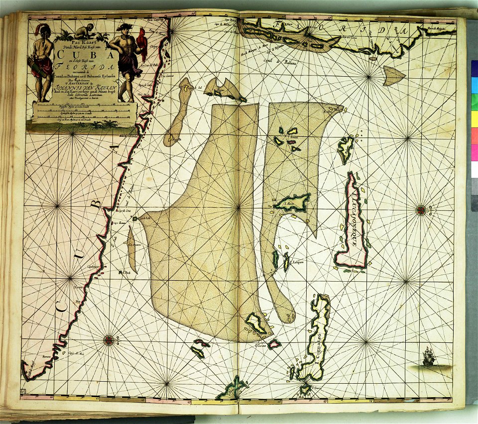
atlantis magni tomus quartus (biblioteca comunale di trento)
maps made in the 17th century
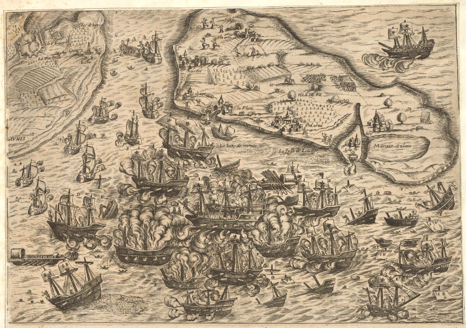
historical images of île de ré
siege of la rochelle
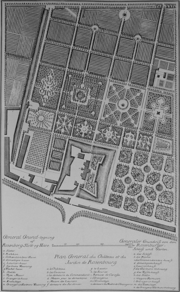
rosenborg castle
kongens have
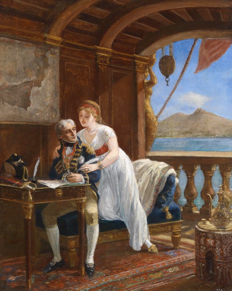
lady hamilton
emma
teatro tacón
havana
cornell university library
caricature
maps and topographical views by joris hoefnagel
17th-century engravings of towns
maps made in the 17th century
nicolaes visscher ii
maps by pieter schenk (i)
gerard valck
fashion
london
accessory
boxing
maps
flag
emblem
sign
maps
flag
maps
flag
continent
maps
maps
flag
self-published work
tree icon
self-published work
map icons
illustrations by staszek szybki jest
self-published work
carpet
bear
skiing
skier
maps
flag
maps
flag
library symbols
library book
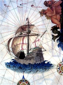
drawings of sailing ships
carracks in art
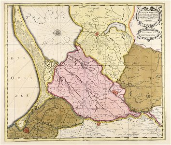
maps made in the 17th century
olof örnehufvud
harvard university
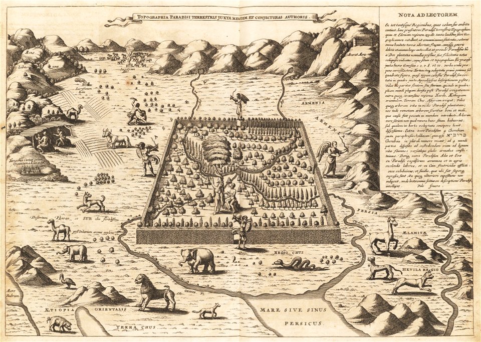
mount ararat
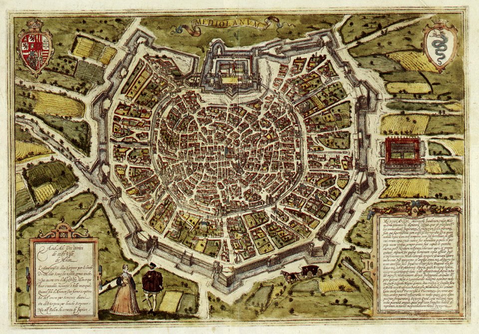
braun & hogenberg
milan
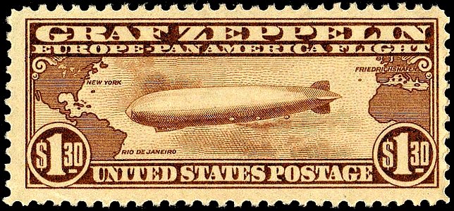
airmail stamps of the united states
brown stamps
charts and maps of the royal museums greenwich
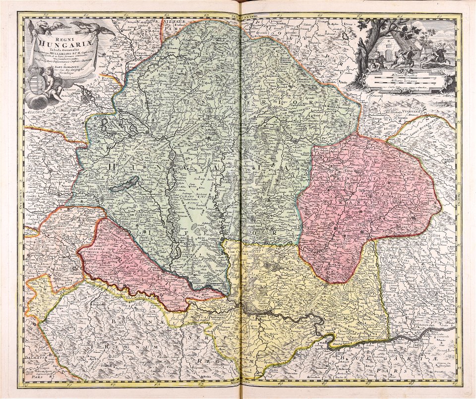
johann baptist homann
ungheria
world map
chess
flower
maps
africa
maps
maps
luck
world map
earth
flower
maps
camera
book
globe
maps
maps
food
15101 - 15200 of 357,572
Next page
/ 3576