En
Log in
All resources
Create a design
Tools
357,572 Free Images of Map
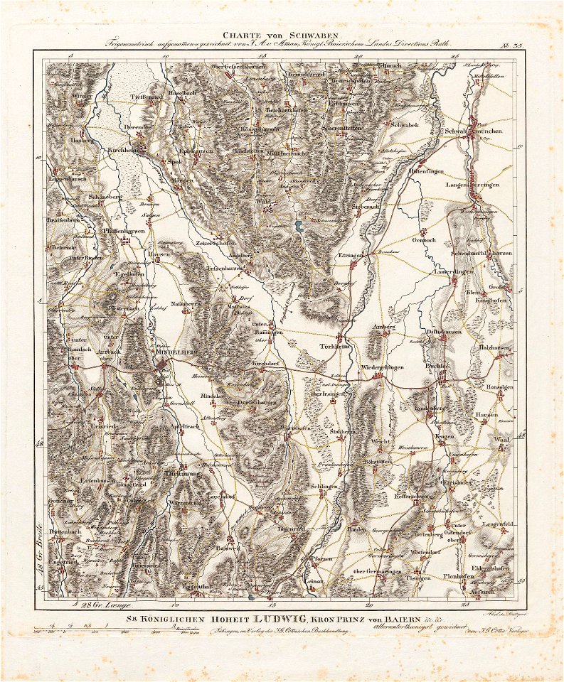
charte von schwaben (bohnenberger)
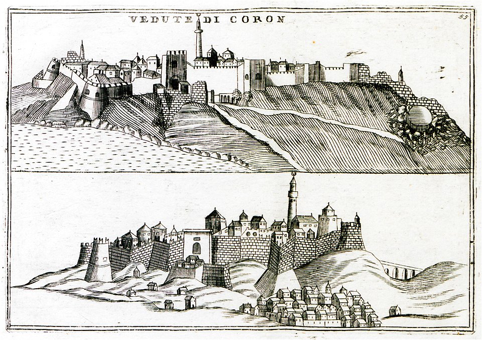
geographical illustrations by coronelli
old maps of the peloponnese
maps in the stadsarchief amsterdam
daniel stoopendaal
bibliothèque municipale de reims
etchings by giovanni battista piranesi
map of campus martius (robert adam)
campus martius (piranesi)
atlante veneto (raremaps.com) volume 1
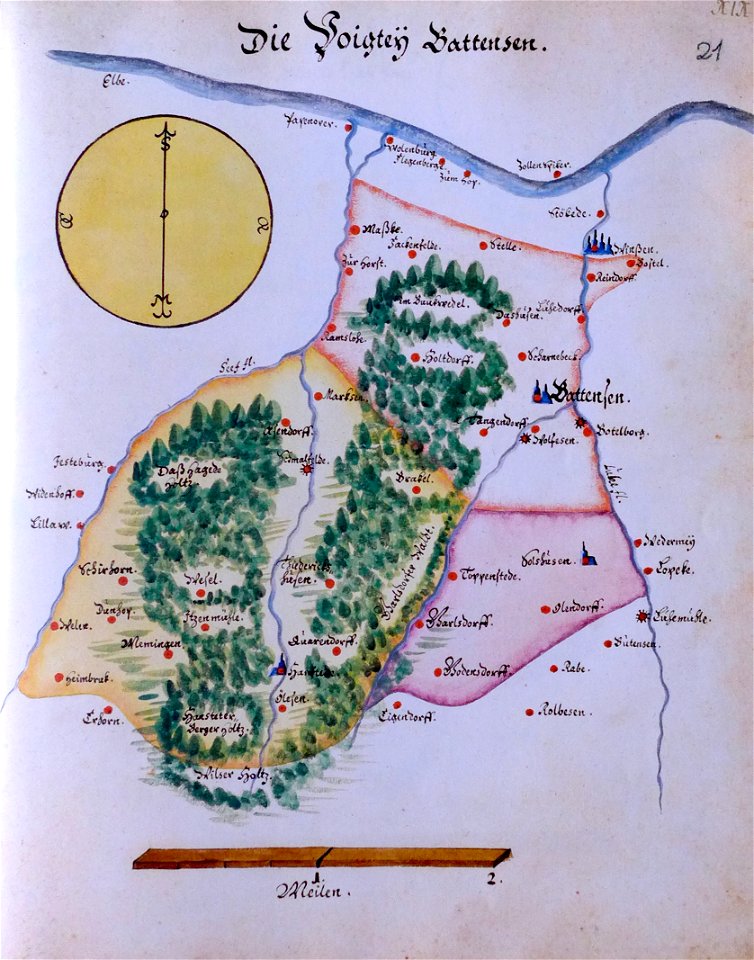
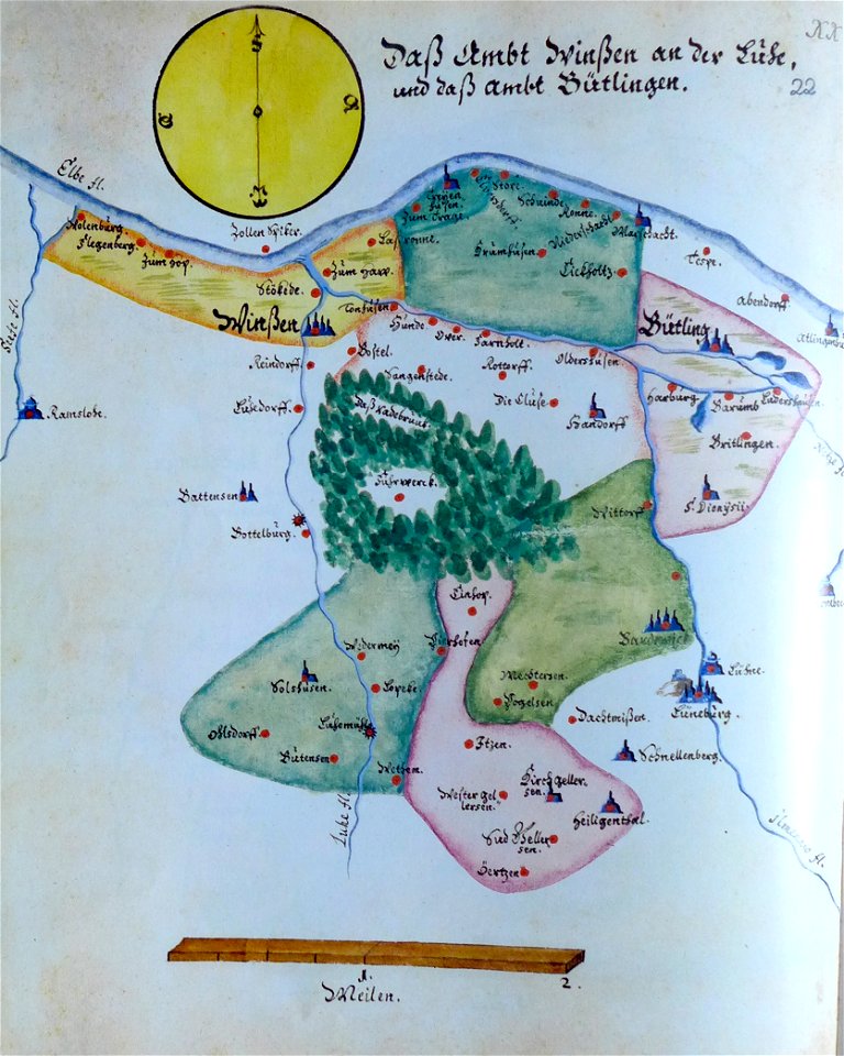
ämteratlas des fürstentums lüneburg von johannes mellinger
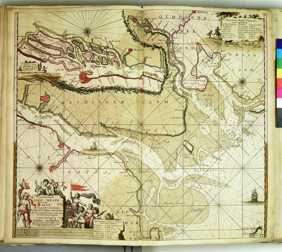
elbe in lower saxony
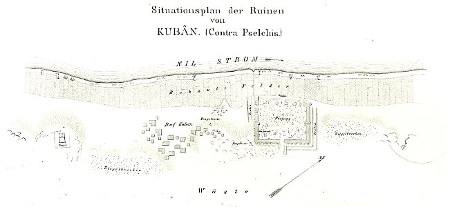
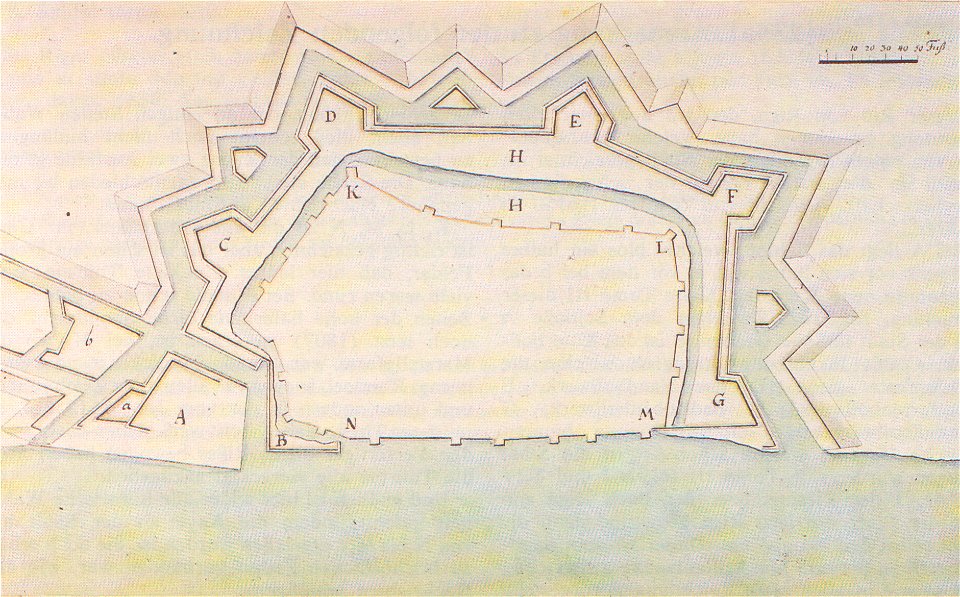
lepsius-projekt - fortifications
lepsius-projekt - maps
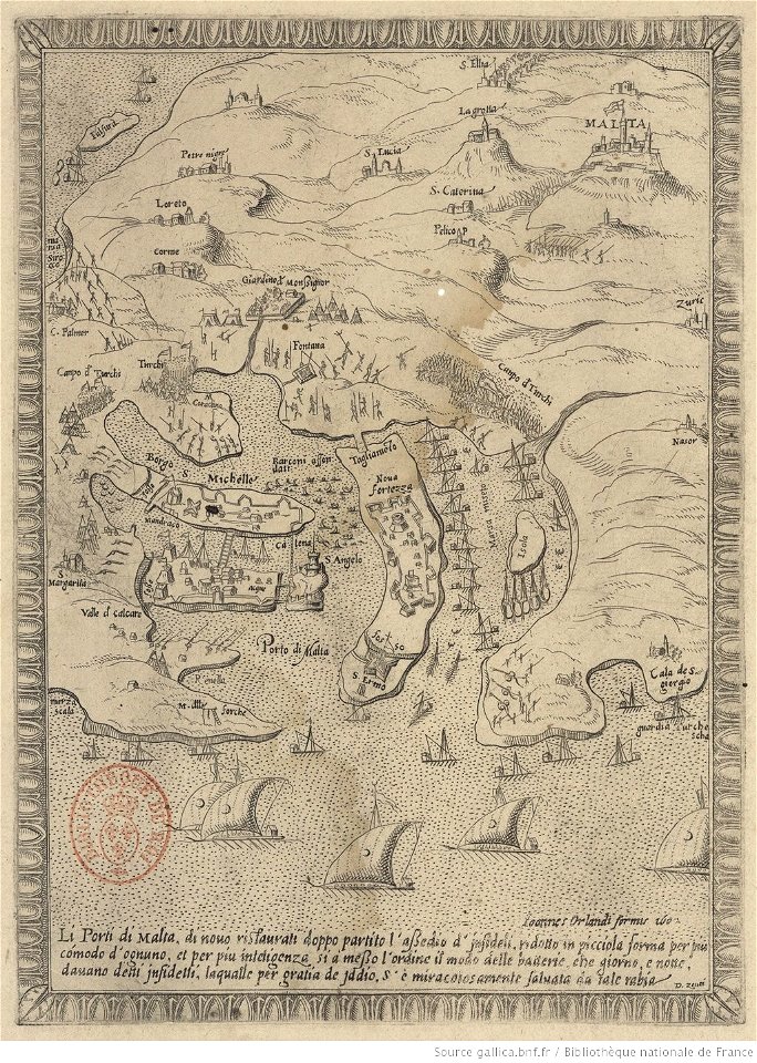
great siege of malta
old maps of malta
historical images of minsk
old maps of minsk
etchings by giovanni battista piranesi
map of campus martius (robert adam)
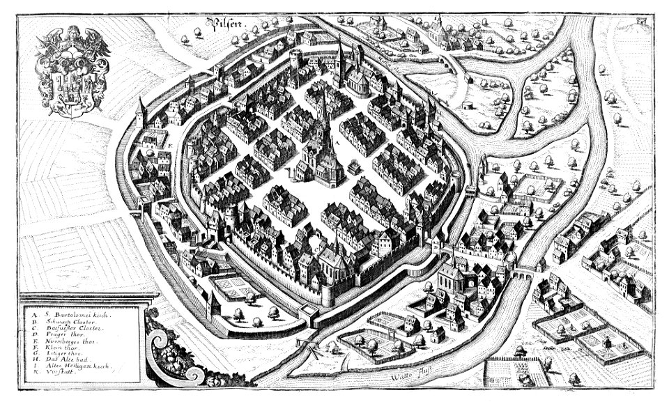
historical maps of plzeň
coats of arms of plzeň
details of the ambassadors (holbein)
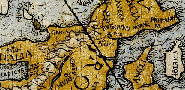
ptolemaic britain
paintings in the bomann-museum
history of christianity
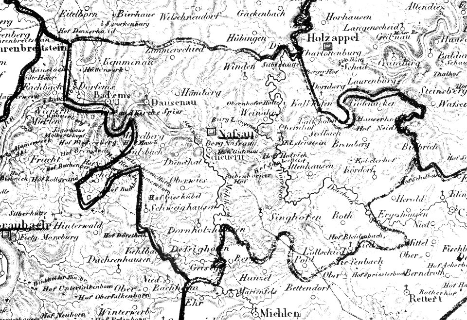
history of nassau (lahn)
1828
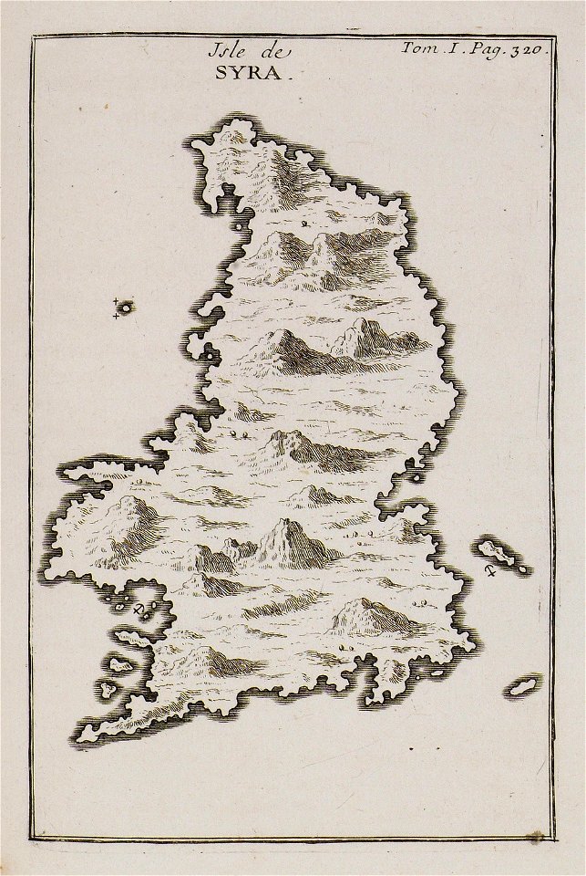
joseph pitton de tournefort
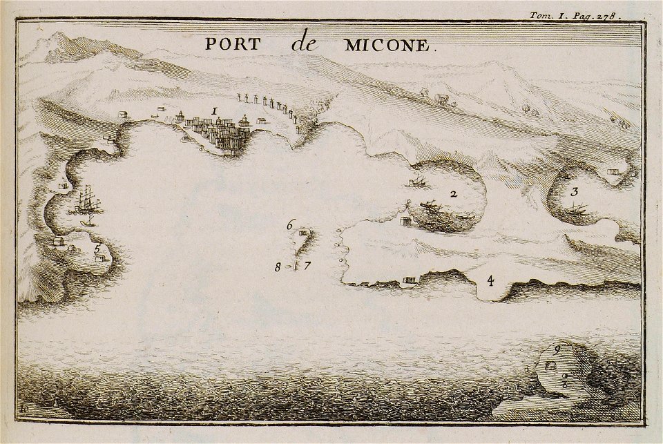
maps of mykonos
old maps of zürich
zürich
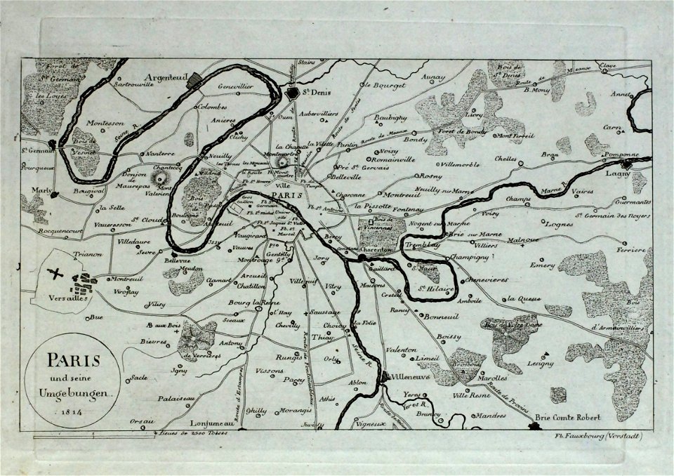
old maps of île-de-france
geographical illustrations by coronelli
koroni
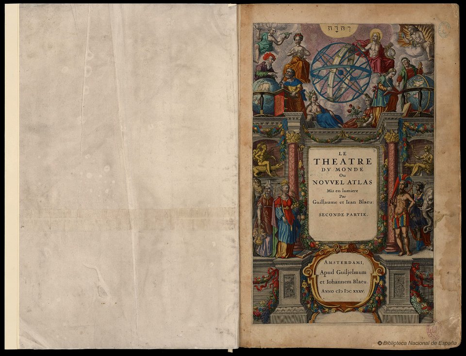
maps by willem and johannes blaeu
copper engraving
old maps of islands of the aegean sea
bartolommeo dalli sonetti
maps in art
disorder
johann christoph brotze
old maps of riga
old maps of ancient rome (city)
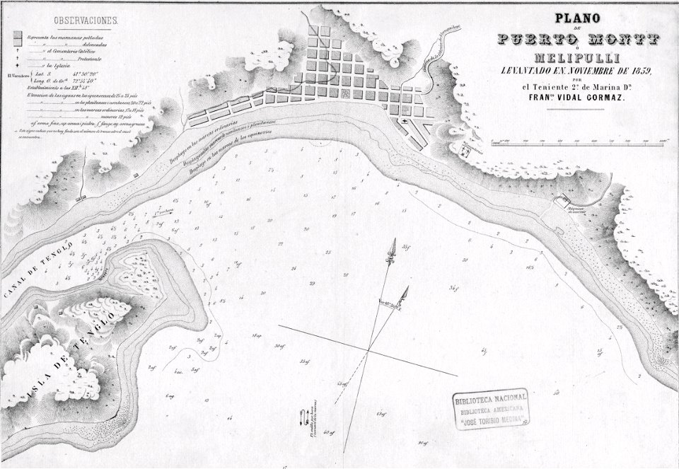
history of puerto montt
1859
everett d. graff collection of western americana
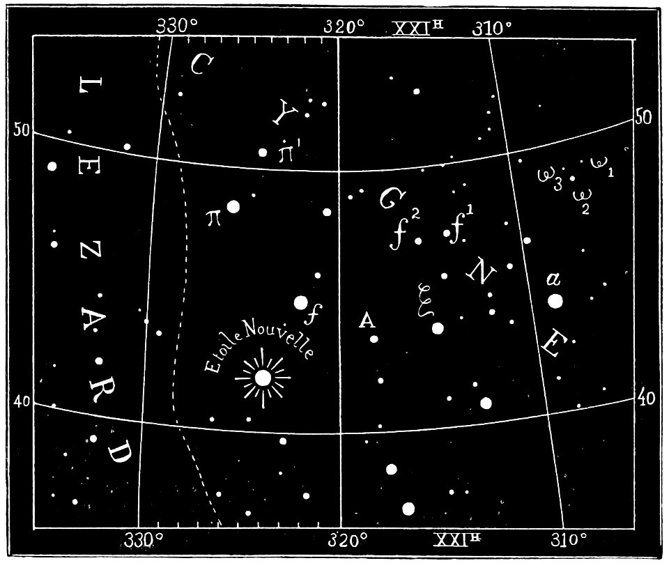
popular science monthly illustrations/volume 32
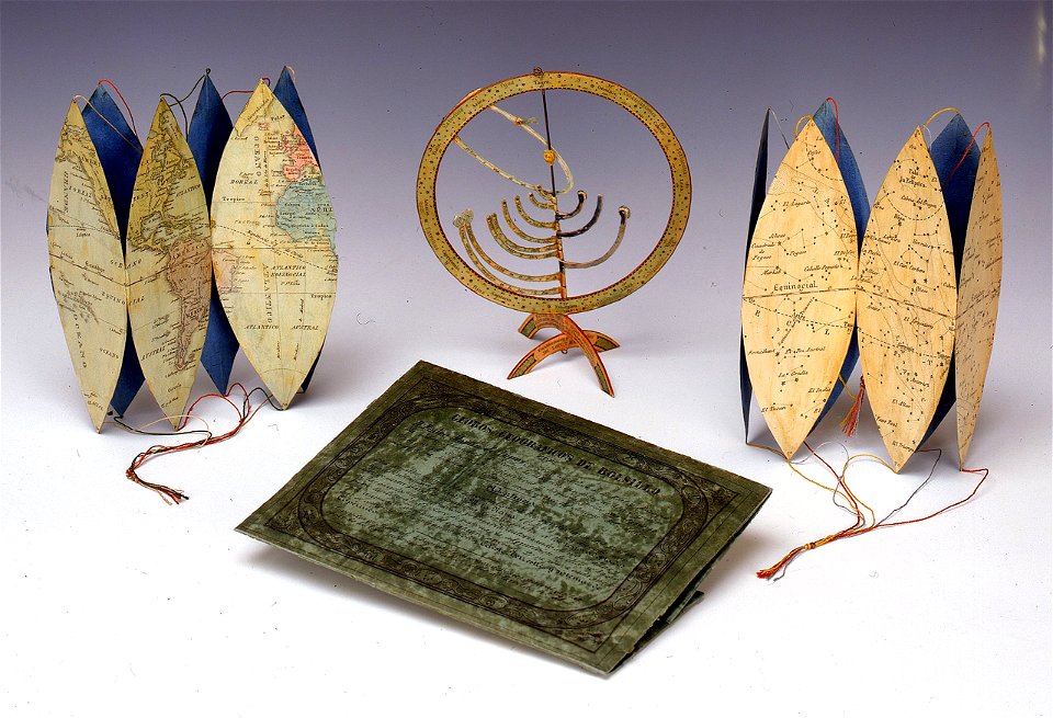
astronomical maps
popular science monthly illustrations/volume 32
astronomical maps
etchings by giovanni battista piranesi
map of campus martius (robert adam)
maps in the library of congress
maps in the library of congress
maps and topographical views by joris hoefnagel
engravings in the hungarian national museum
16th-century images of rome
old maps of rome
etchings by giovanni battista piranesi
map of campus martius (robert adam)
prints from pieter christiaansz bor nederlantsche oorloghen
maps of the dutch republic
map of paris by claes jansz. visscher - derivate files
collège des bernardins
collections of staatsbibliothek bamberg
history of bamberg
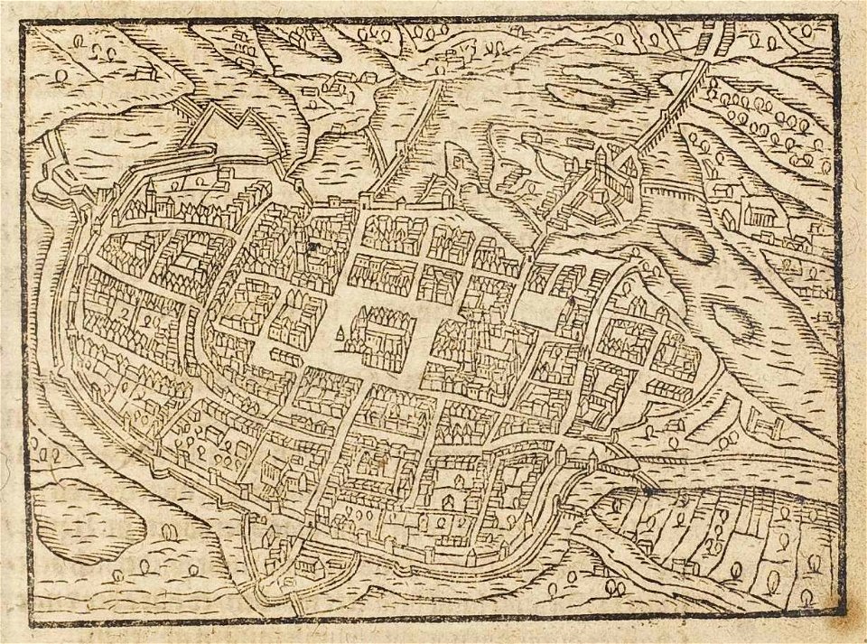
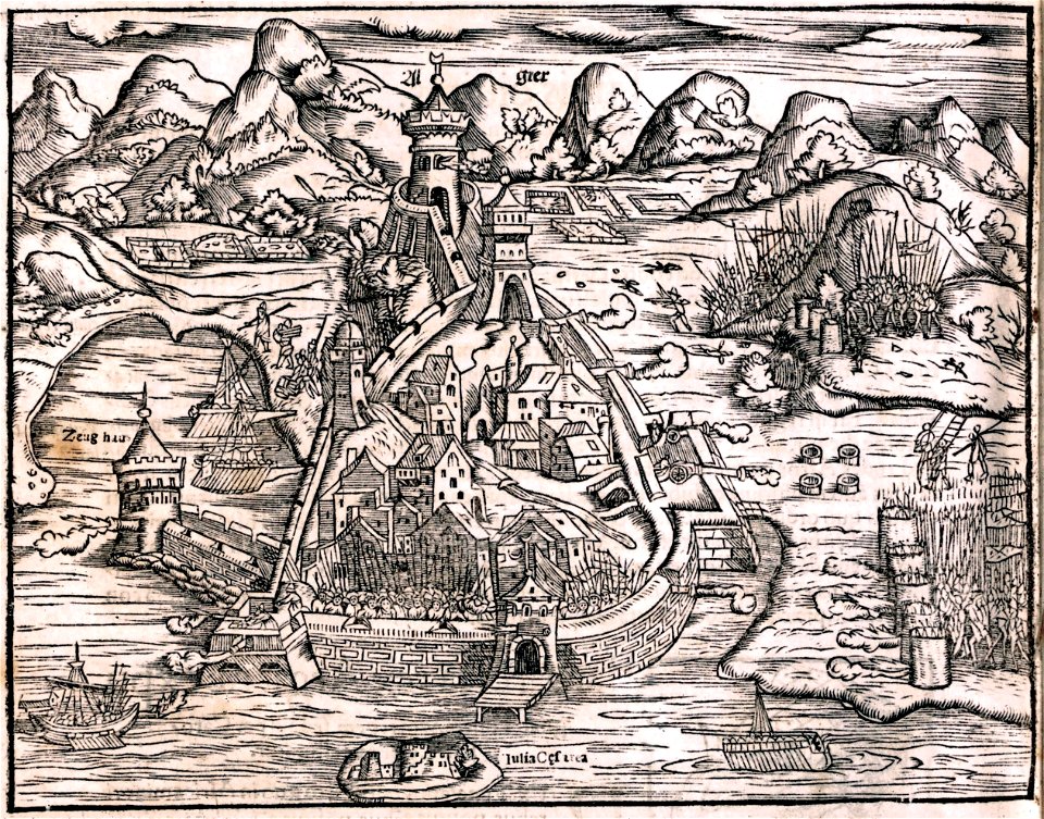
maps by sebastian münster
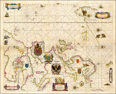
portolan charts by willem and johannes blaeu
17th-century maps of europe
drawings in the museu antônio parreiras
atlante veneto (raremaps.com) volume 1
old maps of the pacific ocean
atlante veneto (raremaps.com) volume 1
maps of the canal du midi
atlante veneto (raremaps.com) volume 1
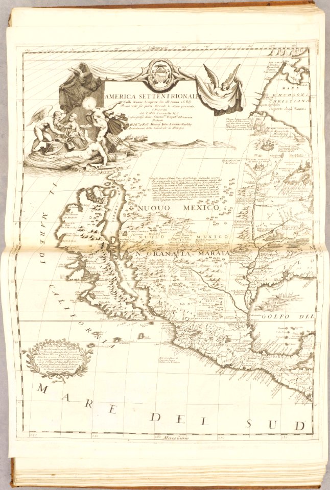
old maps of north america
old maps of new york (state)
johann george schreiber
old maps of saxony
maps of the dutch east india company - indonesia
1724
west-indische compagnie
1745
old maps of new york (state)
maps in the stadsarchief amsterdam
daniel stoopendaal
maps in the stadsarchief amsterdam
daniel stoopendaal
historic views of cities in germany by matthäus merian
historical images of algiers
history of argos
argos castle
de wikisource book leaflet
de nordseeküste (karten)
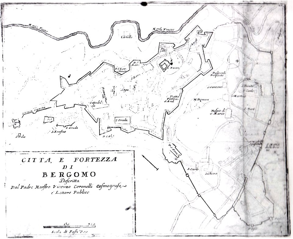
mura venete (bergamo)
old maps of bergamo
bibliothèque municipale de reims
rès. g 153
bibliothèque municipale de reims
maps of the county of flanders
bibliothèque municipale de reims
rès. g 153
geographical illustrations by coronelli
old maps of the peloponnese
travels in various countries of europe
asia and africa
charte von schwaben (bohnenberger)
19th-century maps of bavaria
charte von schwaben (bohnenberger)
old maps of switzerland
charte von schwaben (bohnenberger)
19th-century maps of bavaria
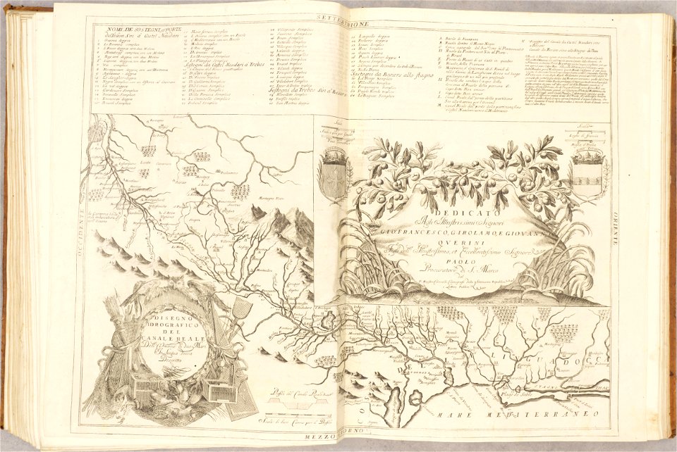
atlante veneto (raremaps.com) volume 2
18th-century maps of lombardy
atlante veneto (raremaps.com) volume 2
17th-century maps of madagascar
old maps of livorno
walls of livorno
il devotissimo viaggio di gerusalemme fatto
16th-century maps of cyprus
charte von schwaben (bohnenberger)
old maps of lake constance
compass
travel
construction
bridge
description des principales villes (1690)
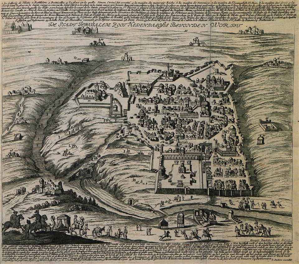
old maps of jerusalem
rhaetiae et valesiae
merian helvetiae
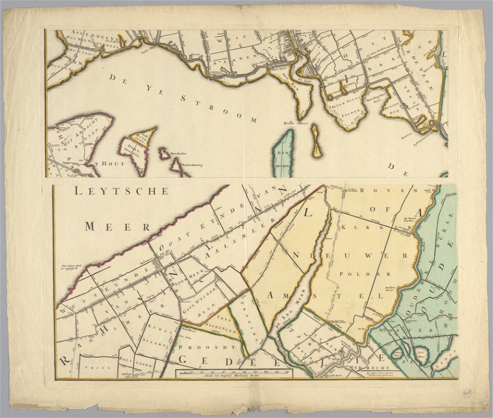
maps in the stadsarchief amsterdam
daniel stoopendaal
maps in the stadsarchief amsterdam
daniel stoopendaal
maps in the stadsarchief amsterdam
daniel stoopendaal
drawings in the museu antônio parreiras
geographical illustrations by coronelli
old maps of the peloponnese
bibliothèque municipale de reims
rès. g 153
bird's eye view maps of rhode island
geographical illustrations by coronelli
old maps of the peloponnese
charte von schwaben (bohnenberger)
old maps of bas-rhin
charte von schwaben (bohnenberger)
19th-century maps of bavaria
charte von schwaben (bohnenberger)
19th-century maps of bavaria
etchings by giovanni battista piranesi
map of campus martius (robert adam)
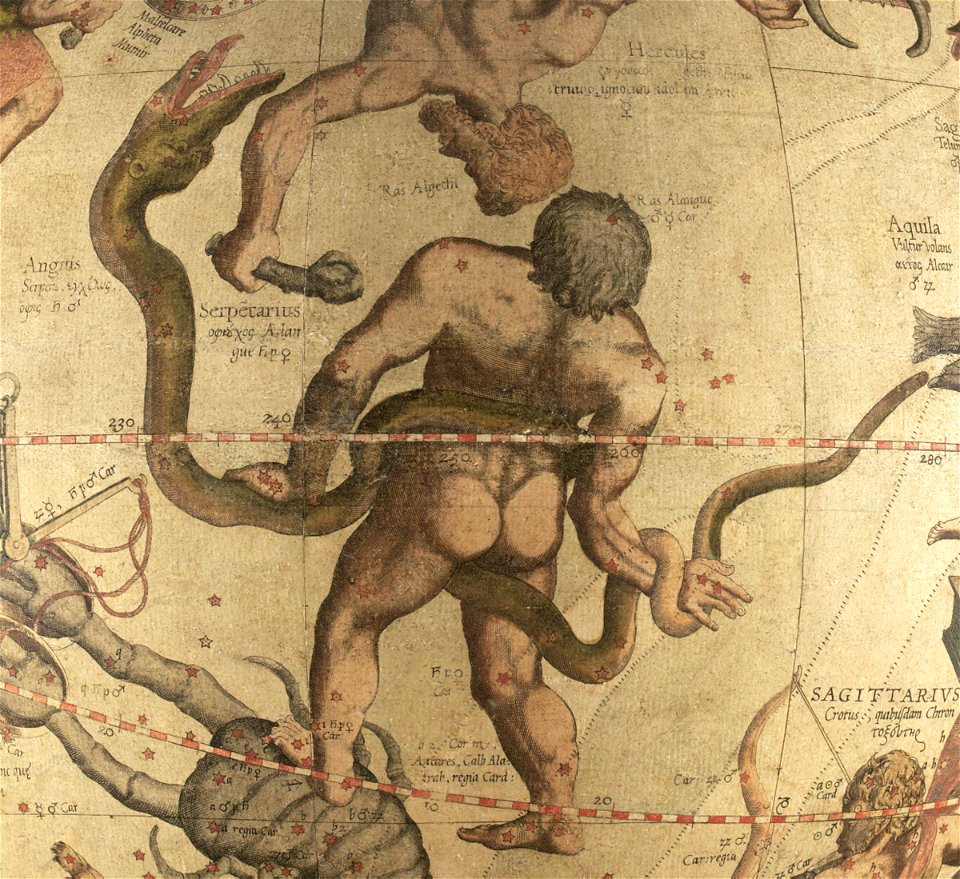
ophiuchus (constellation)
maps by gerardus mercator
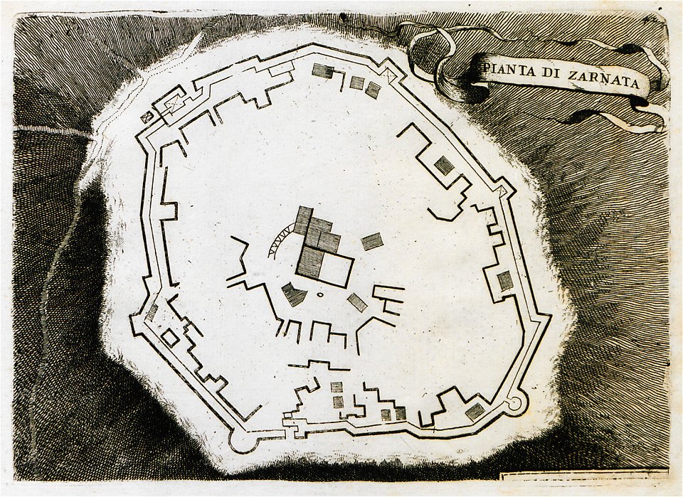
geographical illustrations by coronelli
old maps of the peloponnese
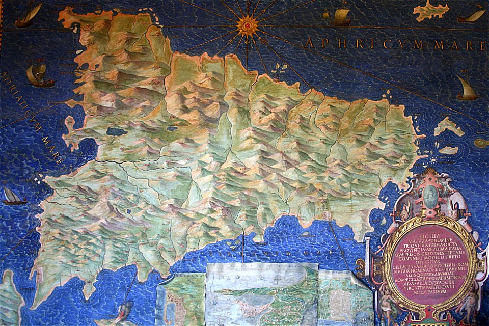
sicilia (galleria delle carte geografiche)
old maps of sicily
sardinia (galleria delle carte geografiche)
old maps of sardinia
historical images of solothurn
old maps of switzerland
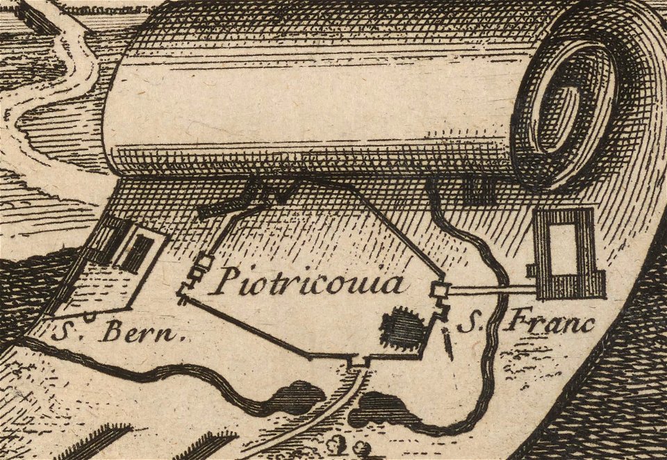
historical images of city walls of piotrków trybunalski
drawings of piotrków trybunalski
paintings in the museu antônio parreiras
charts and maps of the royal museums greenwich
engravings by matthäus merian
historical maps of plzeň
maps of the history of breslau (wrocław)
wrocław in the 16th century
charts and maps of the royal museums greenwich
rhaetiae et valesiae
merian helvetiae
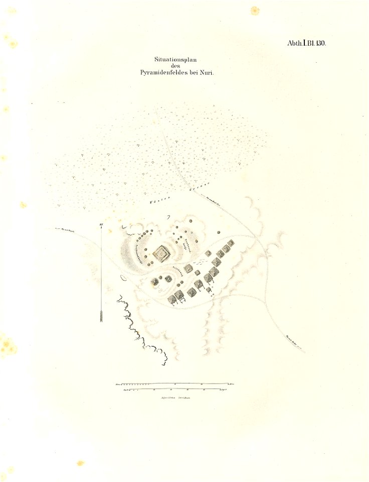
lepsius-projekt - pyramids
lepsius-projekt - maps
popular science monthly illustrations/volume 11
astronomical maps
ämteratlas des fürstentums lüneburg von johannes mellinger
elbe in lower saxony
joseph pitton de tournefort
maps of syros
old maps of zürich
zürich
volume 7 of le tour du monde
maps of nimrud
bibliothèque municipale de reims
rès. g 152
illustrations of cosmographia (münster)
historical images of algiers
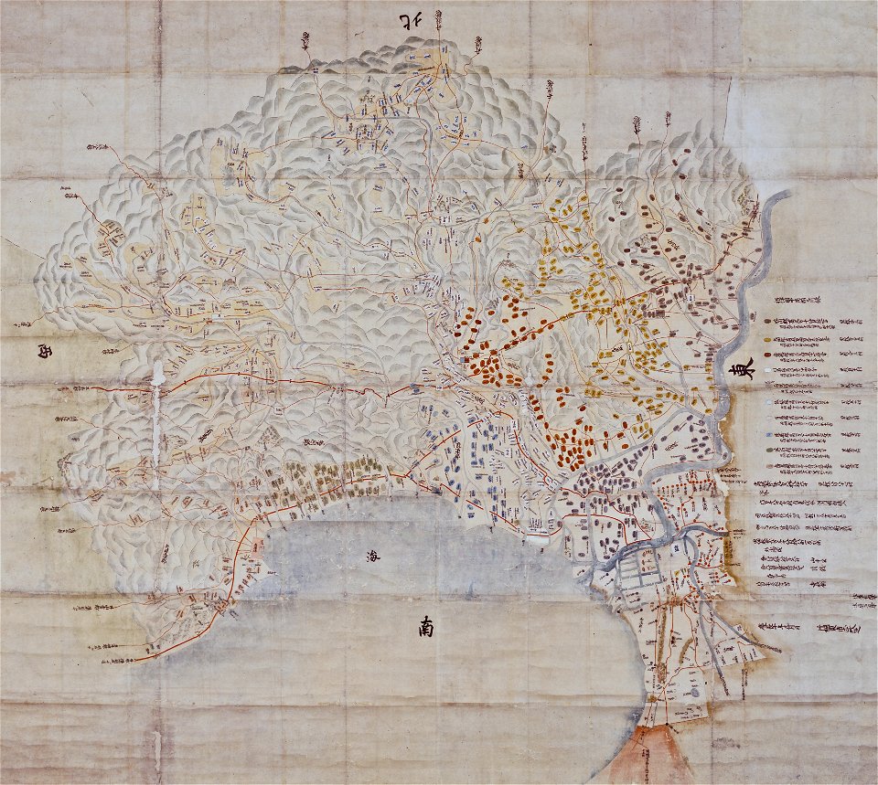
maps of osaka prefecture
settsu province
atlante veneto (raremaps.com) volume 1
old maps of mediterranean sea
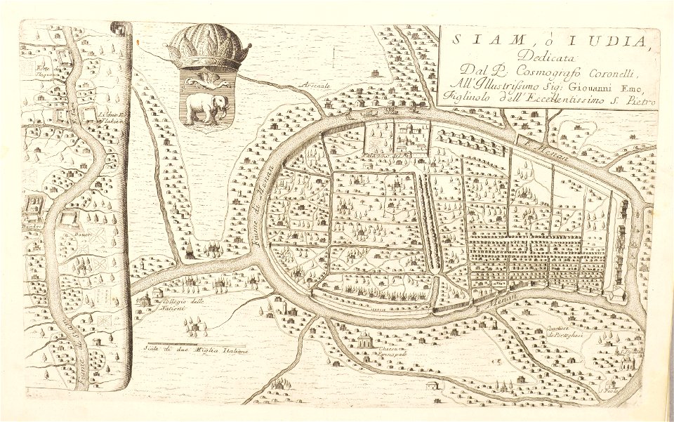
atlante veneto (raremaps.com) volume 2
old maps of ayutthaya
12201 - 12300 of 357,572
Next page
/ 3576