En
Log in
All resources
Create a design
Tools
12,098 Free Images of Geography
map
cartography
rainbow
prismatic
chromatic
love
peace
country
nation
harmony
john rocque 1746 crops from library of congress
john rocque
atlas géographique des quatre parties du monde (delisle)
18th-century double hemisphere world maps
maps
usa
austria
map
belarus
map
brazil
map
cambodia
map
georgia
map
togo
map
congo
map
cyprus
map
djibouti
map
ethiopia
map
gabon
map
germany
map
paraguay
map
philippines
map
poland
map
samoa
map
slovakia
map
south sudan
map
zambia
map
liechtenstein
map
madagascar
map
colombia
map
russia
map
travel
book
travel
book
travel
book
travel
book
travel
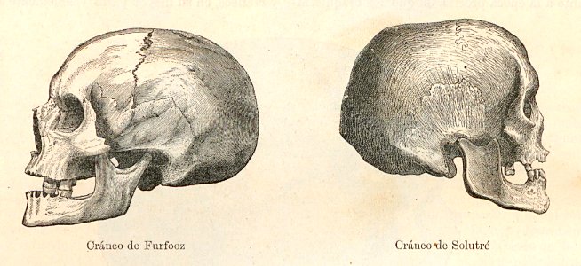
skull
travel
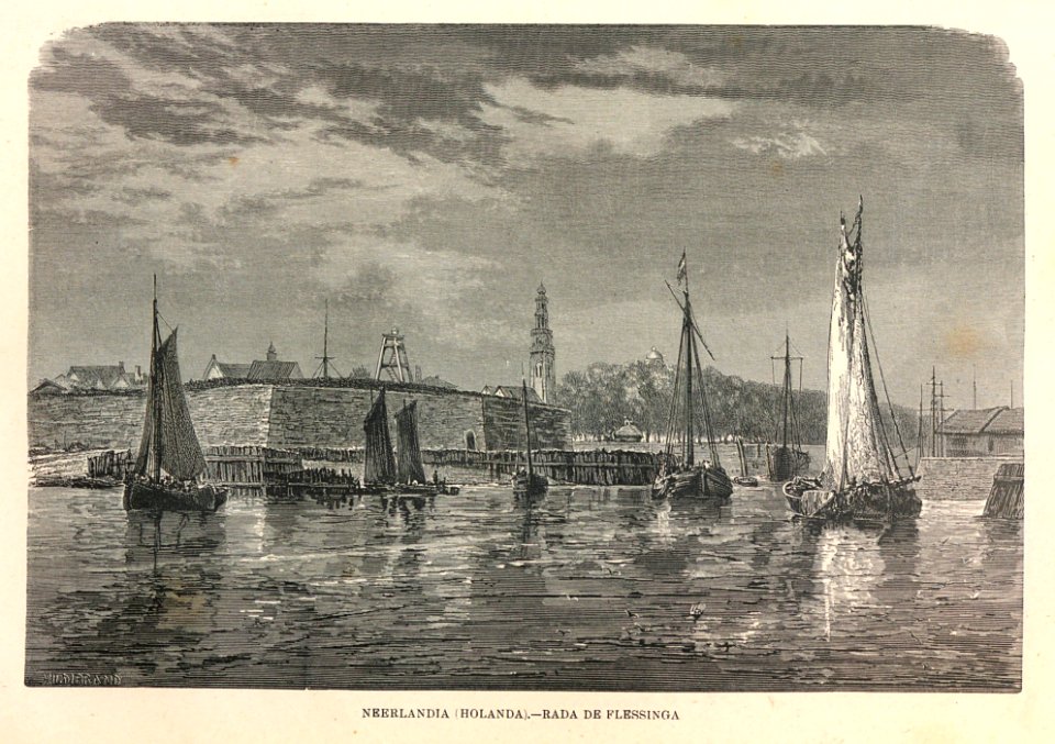
boat
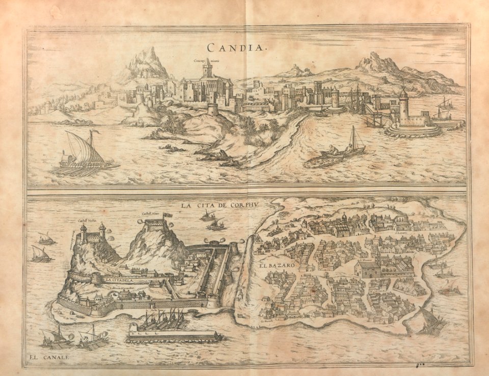
maps
city
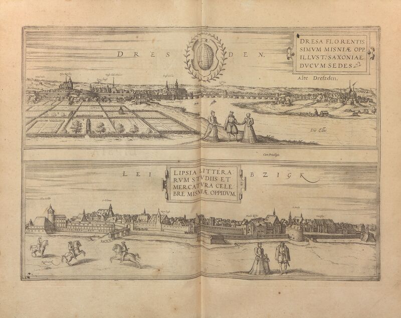
maps
city
maps
city
john rocque 1746 crops from library of congress
maps in the library of congress
john rocque 1746 crops from library of congress
maps in the library of congress
john rocque 1746 crops from library of congress
maps in the library of congress
voyages de la commission scientifique du nord, en scandinavie, en laponie, au spitzberg et aux feröe
historical images of måsøy municipality
vegetables
grass
vegetables
landscape
vegetables
landscape
vegetables
tree
landscape
travel
landscape
tree
landscape
travel
the earth and its inhabitants, vol. x: africa, vol. i
great temple of abu simbel in art
shiba kōkan
rangaku
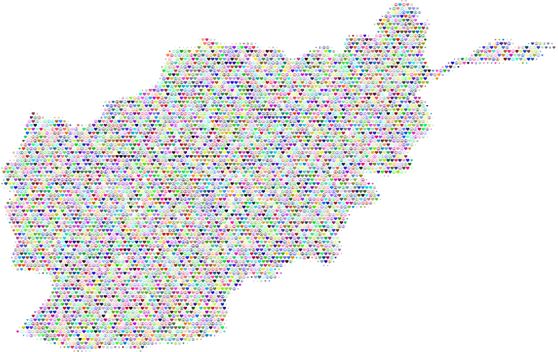
afghanistan
map
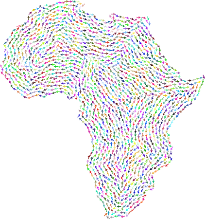
continent
africa
armenia
map
bolivia
map
botswana
map
cameroon
map
palestine
israel
mexico
map
morocco
map
netherlands
map
nicaragua
map
nigeria
map
oman
map
qatar
map
serbia
map
turkmenistan
map
uzbekistan
map
john rocque 1746 crops from library of congress
john rocque
john rocque 1746 crops from library of congress
john rocque
john rocque 1746 crops from library of congress
john rocque
john rocque 1746 crops from library of congress
john rocque
vegetables
water
vegetables
skyline
vegetables
water
vegetables
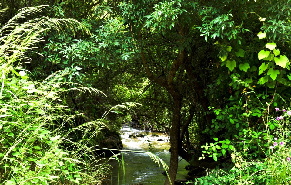
tree
vegetables
landscape
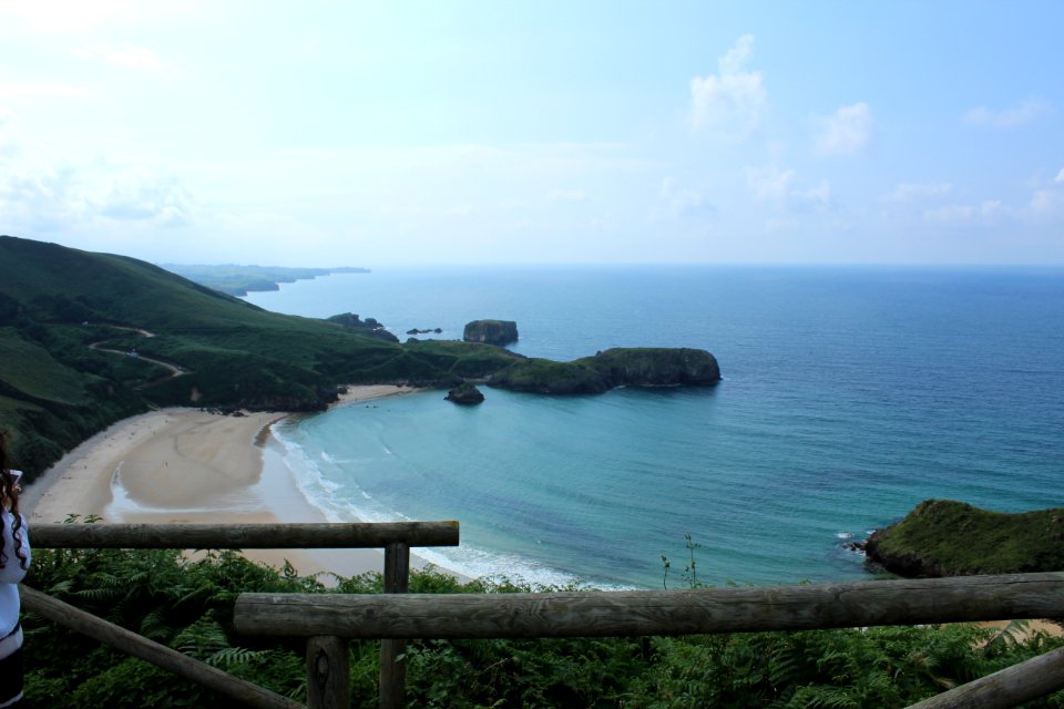
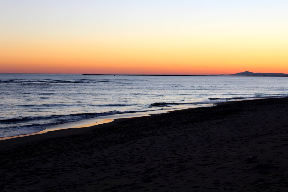
beach
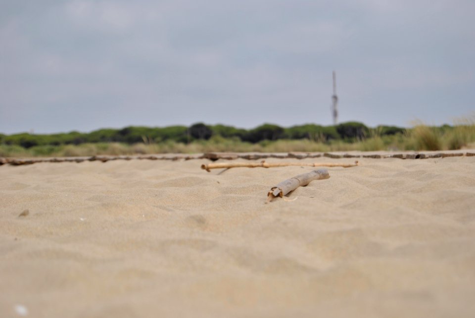
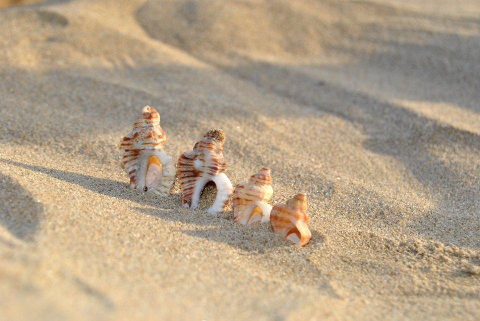
sand
atlas géographique des quatre parties du monde (delisle)
map of scandinavia by guillaume de l'isle (1706)
atlas géographique des quatre parties du monde (delisle)
carte de france by guillaume delisle (1721)
maps of the islands of greece by marco boschini (1658)
old maps of athos
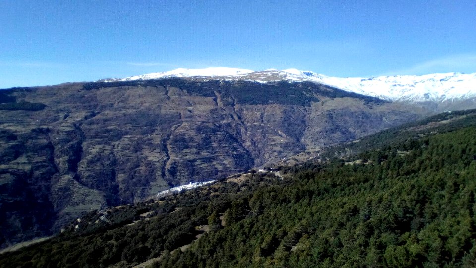
landscape
nature
voyages de la commission scientifique du nord, en scandinavie, en laponie, au spitzberg et aux feröe
history of finnmark
topographia ducatus stiriae
komenda castle (polzela)
illustration
maps
kazakhstan
map
kuwait
map
laos
map
pakistan
map
palestine
israel
azerbaijan
map
benin
map
chad
map
greece
map
maps
usa
topographia ducatus stiriae
arnfels
carte des pays-bas catholiques by guillaume de l'isle (1702)
atlas géographique des quatre parties du monde (delisle)
maps
city
maps
city
maps
city
maps
city
maps
city
maps
city
11101 - 11200 of 12,098
Next page
/ 121