En
Log in
All resources
Create a design
Tools
19,377 Free Images of Fort
historical
history
cc-zero
images from nationaal archief
architecture
united states
maps in the rijksmuseum amsterdam
travel
landmark
landscape
prints published by pieter schenk (ii)
maps in the rijksmuseum amsterdam
prints by stefano della bella in the rijksmuseum amsterdam
baroque
prints by jan chalon in the rijksmuseum amsterdam
christiaan josi
novum ac magnum theatrum urbium belgicae
maps in the rijksmuseum amsterdam
serie 9, nederlandse en duitse gebeurtenissen, 1583-1587
album met historieprenten van hogenberg
prints by jan chalon in the rijksmuseum amsterdam
christiaan josi
maps by carolus allard
history of geldern
history
frown
historical
history
historical
history
landscape
building
history
arizona
historical
history
historical
history
historical
history
historical
history
historical
history
historical
history
historical
history
historical
history
historical
history
military
gun
osceola by robert john curtis
robert john curtis
animals
nature
landscape
nature
transport
bicycle
colorado
germany
plants
tree
drawings in musée carnavalet
fort d'issy
military
army
landscape
building
historical
history
historical
history
historical
history
historical
history
historical
history
historical
history
historical
history
historical
history
historical
history
historical
history
building
water
history
cattle
historical
history
maps by john cary
1799 maps
prints of cartouches in the rijksmuseum amsterdam
maps in the rijksmuseum amsterdam
skyline
travel
monument
india
landscape
tree
landscape
rock
helicopter
people
activities
people
vehicle
car
vehicle
travel
children
winter
agriculture
tree
animals
tree
insects
bug
building
medieval
recollections of india. part 2. kashmir and the alpine punjab (1847)
1846 in india
travel
city
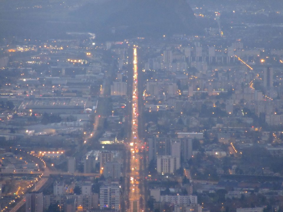
nord et centre-ville de grenoble, saint-martin-le-vinoux, fort de la bastille, mont jalla
checkflicr2
prints after rubens in the rijksmuseum amsterdam
battle of kallo (1638)
mountain
water
black chalk drawings in the rijksmuseum amsterdam
orientalism
maps in the rijksmuseum amsterdam
maps by carolus allard
maps in the rijksmuseum amsterdam
maps by carolus allard
lithographs in the rijksmuseum amsterdam
h. altmann
landscape
national
historical
history
historical
history
historical
history
historical
history
historical
history
historical
history
historical
history
historical
history
historical
history
historical
history
historical
history
historical
history
the indian empire - its history, topography, government, finance, etc. (1858)
robert james elliot (royal navy)
plano de la bahia de argel situada en la costa de africa - explicacion del ataque que executo en esta bahia el ex.mo señor don antonio barcelo, siendo su mayor general el capitan de navio don joseph... - btv1b53238422p
maps by tomas lopez
prints by jan chalon in the rijksmuseum amsterdam
etchings of dogs
prints of cartouches in the rijksmuseum amsterdam
maps in the rijksmuseum amsterdam
prints by gaspar bouttats in the rijksmuseum amsterdam
prints of coats of arms in the rijksmuseum amsterdam
prints by romeyn de hooghe in the rijksmuseum amsterdam
history prints in the rijksmuseum amsterdam
prints published by claes jansz. visscher (ii) in the rijksmuseum amsterdam
maps in the rijksmuseum amsterdam
landscape
travel
vehicle
tree
aircraft
vehicle
historical
history
historical
history
historical
history
historical
history
historical
history
building
travel
historical
history
historical
history
historical
history
17901 - 18000 of 19,377
Next page
/ 194