En
Log in
All resources
Create a design
Tools
117,686 Free Images of E
maps from the earth and its inhabitants, vol. iv
lithographs by abul hasan ghaffari in dawlat-e ʿalliya-ye iran (newspaper)
ukiyo-e
maps from the earth and its inhabitants, vol. xvii
maps from the earth and its inhabitants, vol. xvi
torri e castelli e case forti del piemonte dal 1000 al secolo xvi. il novarese
maps from the earth and its inhabitants, vol. v
maps from the earth and its inhabitants, vol. vi
maps from the earth and its inhabitants, vol. xii
maps from the earth and its inhabitants, vol. ix
sidewalk
brazil
checkflickr
people
nature
fish
nature
fish
unidentified locations in scotland
scotland's story by h. e. marshall
vasari - le vite de’ piu eccellenti pittori, scultori, et architettori (1791)
high renaissance,renaissance
japanese 18th-century prints in the rijksmuseum amsterdam
nishiki-e,ukiyo-e
ndl-dc 1307479 shodai toyokuni nishiki-e chō
utagawa school,ukiyo-e
nishiki-e,ukiyo-e
suzuki harunobu
dōke 12 shi by utagawa kuniyoshi
ukiyo-e
hasegawa settan
ukiyo-e
the sketch, 1902
john hassall
actor prints by toyohara kunichika
ndl-dc 9369201 haiyū uchiwa-e
jahrhundertausstellung deutscher kunst 1906
johann heinrich lips
nagahide
ukiyo-e
paintings after nicolas poussin
classicism
madonna trivulzio by filippo lippi
renaissance
torri e castelli e case forti del piemonte dal 1000 al secolo xvi. il novarese
rocca di vogogna
torri e castelli e case forti del piemonte dal 1000 al secolo xvi. il novarese
photos by carlo nigra
shunbaisai hokuei
ukiyo-e
torri e castelli e case forti del piemonte dal 1000 al secolo xvi. il novarese
historical images of proh
torri e castelli e case forti del piemonte dal 1000 al secolo xvi. il novarese
photos by carlo nigra
lithographs by abul hasan ghaffari in dawlat-e ʿalliya-ye iran (newspaper)
lithographs by abul hasan ghaffari in dawlat-e ʿalliya-ye iran (newspaper)
stained glass windows in the upper basilica in assisi
master of saint francis
lithographs by abul hasan ghaffari in dawlat-e ʿalliya-ye iran (newspaper)
lithographs by abul hasan ghaffari in dawlat-e ʿalliya-ye iran (newspaper)
lithographs by abul hasan ghaffari in dawlat-e ʿalliya-ye iran (newspaper)
lithographs by abul hasan ghaffari in dawlat-e ʿalliya-ye iran (newspaper)
illustrations to jane austen's works
mansfield park (c. e. brock)
ehon asakayama (picture book: mount asaka) by nishikawa sukenobu
ukiyo-e
fontana di gesù e la samarintana nel chiostro di san gregorio armeno (naples)
william john huggins
edward duncan
maps from the earth and its inhabitants, vol. xvii
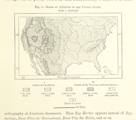
topographic maps of the united states
maps from the earth and its inhabitants, vol. iv
19th-century maps of lincolnshire
maps from the earth and its inhabitants, vol. xiii
maps of the history of south africa
maps from the earth and its inhabitants, vol. v
old maps of bornholm
maps from the earth and its inhabitants, vol. vi
atmospheric pressure maps
maps from the earth and its inhabitants, vol. xi
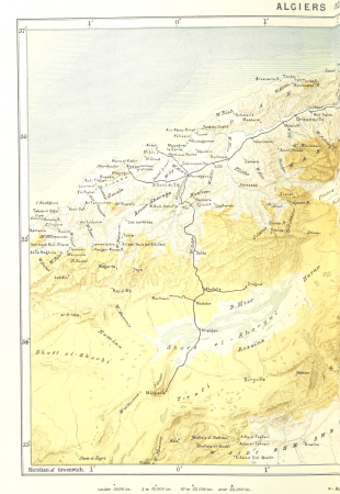
1870s maps of algeria
maps from the earth and its inhabitants, vol. x
19th-century maps of sudan
maps from the earth and its inhabitants, vol. vi
religion maps of asia
maps from the earth and its inhabitants, vol. xvi
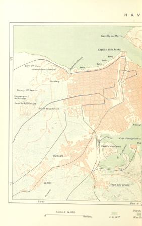
19th-century maps of havana
maps from the earth and its inhabitants, vol. xiii
maps of port elizabeth
maps from the earth and its inhabitants, vol. xii
19th-century maps of senegal
maps from the earth and its inhabitants, vol. iv
old maps of reading, berkshire
maps from the earth and its inhabitants, vol. xv
maps of viking exploration
maps from the earth and its inhabitants, vol. ix
maps of the hindu kush
maps from the earth and its inhabitants, vol. x
topographic maps of africa
maps from the earth and its inhabitants, vol. xiv
saint-pierre (saint-pierre-et-miquelon)
maps from the earth and its inhabitants, vol. xvi
topographic maps of mexico
maps from the earth and its inhabitants, vol. viii
old maps of kashmir
maps from the earth and its inhabitants, vol. xvi
19th-century maps of mexico city
old maps of reaches or the estuary of the river thames
maps from the earth and its inhabitants, vol. iv
maps from the earth and its inhabitants, vol. xi
old maps of tripoli
maps from the earth and its inhabitants, vol. xviii
population density maps of south america
maps from the earth and its inhabitants, vol. v
old maps of the black sea
maps from the earth and its inhabitants, vol. xvi
19th-century maps of guadeloupe
maps from the earth and its inhabitants, vol. xii
maps of the congo river
maps from the earth and its inhabitants, vol. iv
maps of the scilly islands
maps from the earth and its inhabitants, vol. vi
bathymetric maps of the caspian sea
maps from the earth and its inhabitants, vol. ix
old maps of medina
maps from the earth and its inhabitants, vol. v
population density maps of europe
maps from the earth and its inhabitants, vol. iv
19th-century maps of gloucestershire
maps from the earth and its inhabitants, vol. iii
old maps of rijeka
maps from the earth and its inhabitants, vol. iv
old maps of lindisfarne
maps from the earth and its inhabitants, vol. iv
maps of the british isles
maps from the earth and its inhabitants, vol. xv
19th-century maps of quebec
maps from the earth and its inhabitants, vol. iv
old maps of hartlepool
maps from the earth and its inhabitants, vol. iv
19th-century maps of warwickshire
maps from the earth and its inhabitants, vol. iv
19th-century maps of kent
maps from the earth and its inhabitants, vol. xviii
geology of south america
maps from the earth and its inhabitants, vol. ix
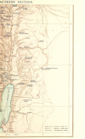
1870s maps of palestine
maps from the earth and its inhabitants, vol. xiv
maps of easter island
maps from the earth and its inhabitants, vol. xvii
19th-century maps of san francisco
maps from the earth and its inhabitants, vol. vii
old maps of tokyo
maps from the earth and its inhabitants, vol. viii
ernst georg ravenstein
maps from the earth and its inhabitants, vol. iii
old maps of trieste
maps from the earth and its inhabitants, vol. iv
maps of the british isles
maps from the earth and its inhabitants, vol. xii
são miguel (azores)
maps from the earth and its inhabitants, vol. xvi
maps of agriculture in mexico
maps from the earth and its inhabitants, vol. iv
19th-century maps of the isle of man
maps from the earth and its inhabitants, vol. xvii
maps of native american tribal territories
maps from the earth and its inhabitants, vol. vii
old maps of xi'an
maps from the earth and its inhabitants, vol. iv
19th-century maps of the isle of wight
maps from the earth and its inhabitants, vol. iv
old maps of the orkney islands
maps from the earth and its inhabitants, vol. iv
old maps of shrewsbury
maps from the earth and its inhabitants, vol. xvii
1870s maps of the united states
maps from the earth and its inhabitants, vol. v
19th-century maps of copenhagen
maps from the earth and its inhabitants, vol. xiii
maps of the kingdom of kongo
maps from the earth and its inhabitants, vol. xii
bathymetric maps of the atlantic ocean
maps from the earth and its inhabitants, vol. vii
maps of the yellow river
maps from the earth and its inhabitants, vol. ix
kelat-i-ghilzai
maps from the earth and its inhabitants, vol. xviii
topographic maps of colombia
maps from the earth and its inhabitants, vol. vii
maps of weather and climate of china
maps from the earth and its inhabitants, vol. vi
geology of the caucasus mountains
maps from the earth and its inhabitants, vol. iii
old maps of pula
maps from the earth and its inhabitants, vol. viii
charles eugène perron
maps from the earth and its inhabitants, vol. xi
ain el-turk
maps from the earth and its inhabitants, vol. xiv
1870s maps of hawaii
maps from the earth and its inhabitants, vol. xvii
united states geological survey
48601 - 48700 of 117,686
Next page
/ 1177