En
Log in
All resources
Create a design
Tools
38,380 Free Images of Atlas
gemeente atlas van nederland - north holland
1860s maps of north holland
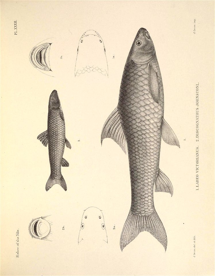
fish
smithsonian institution libraries
great britain
pictorial works
#2016bioblitz
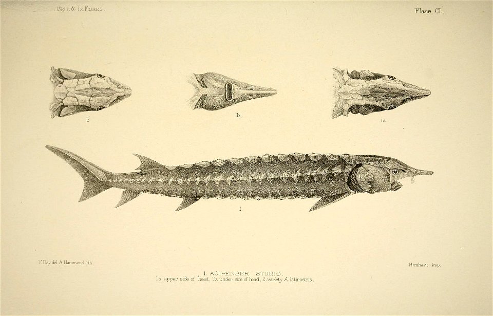
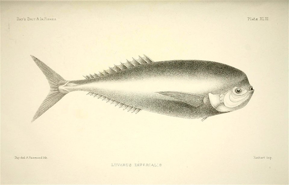
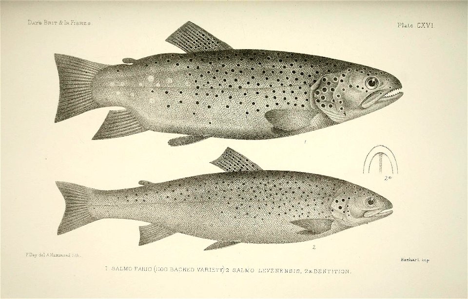
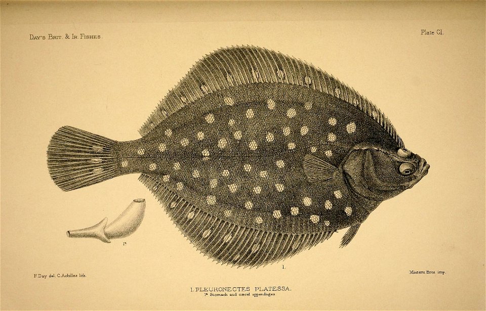
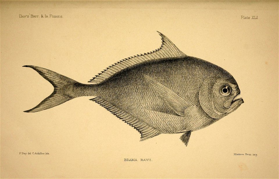
the fishes of great britain and ireland. atlas.
maps from university of amsterdam special collections
atlas der neederlanden
gemeente atlas van nederland - south holland
maps of wateringen
animals
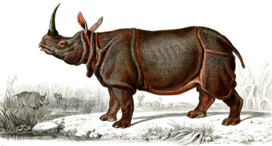
mammals
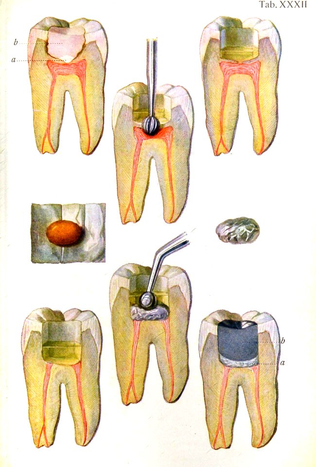
medicine
vintage
gemeente atlas van nederland - north brabant
old maps of 's-hertogenbosch
gemeente atlas van nederland - overijssel
old maps of ommen
gemeente atlas van nederland - zeeland
maps of polders in zeeland
gemeente atlas van nederland - south holland
maps of zoeterwoude
gemeente atlas van nederland - groningen
maps of oude pekela
gemeente atlas van nederland - north brabant
maps of gilze en rijen
gemeente atlas van nederland - groningen
maps of leek, groningen
collectie atlas dreesmann
sarphatimonument
topographischer atlas der schweiz
pfahlbausiedlungen wauwilermoos
bibliothèque municipale de reims, res atlas 119
topographischer atlas der schweiz
maps wohlen, aargau
bibliothèque municipale de reims, res atlas 119
bibliothèque municipale de reims, res atlas 119
1740s maps of the netherlands
maps of borculo
maps in the british museum
taddeo crivelli
maps of île-de-france by françois de la guillotière
atlas minor gerardi mercatoris (1614, maps)
maps by willem and johannes blaeu
siege of breda 1624-1625
prints in the stadsarchief amsterdam
works by reinier vinkeles
gemeente atlas van nederland - groningen
maps of nieuwe pekela
gemeente atlas van nederland - groningen
maps of bad nieuweschans
gemeente atlas van nederland - groningen
maps of 't zandt
gemeente atlas van nederland - groningen
maps of ten boer
gemeente atlas van nederland - north brabant
beek en donk
neuroanatomy
max brödel
gemeente atlas van nederland - zeeland
maps of polders in zeeland
gemeente atlas van nederland - north holland
maps of obdam
gemeente atlas van nederland - north holland
maps of hoogwoud
gemeente atlas van nederland - north holland
maps of middelie
gemeente atlas van nederland - north holland
maps of schellinkhout
gemeente atlas van nederland - north holland
maps of spanbroek
atlas novus (blaeu)
1640s maps of paris
gemeente atlas van nederland - north holland
maps of landsmeer
gemeente atlas van nederland - north holland
maps of katwoude
gemeente atlas van nederland - north holland
maps of wijdenes
gemeente atlas van nederland - north holland
maps of wormerveer
gemeente atlas van nederland - north holland
maps of oudendijk
gemeente atlas van nederland - north holland
maps of wormer
gemeente atlas van nederland - north holland
maps of oosthuizen
gemeente atlas van nederland - north holland
maps of uitgeest
gemeente atlas van nederland - north holland
maps of hensbroek
gemeente atlas van nederland - north holland
maps of westzaan
gemeente atlas van nederland - north holland
maps of ilpendam
gemeente atlas van nederland - north holland
maps of warder
gemeente atlas van nederland - north holland
maps of wognum
maps of polders in zeeland
old maps of sluis
gemeente atlas van nederland - north holland
maps of ursem
gemeente atlas van nederland - north holland
maps of bovenkarspel
gemeente atlas van nederland - north holland
maps of vlieland
gemeente atlas van nederland - north holland
maps of berkhout
maps of the county of flanders
de moeren
gemeente atlas van nederland - north holland
maps of westwoud
gemeente atlas van nederland - north holland
maps of opperdoes
bibliothèque municipale de reims, res atlas 119
putti in france
maps of made, north brabant
maps of drimmelen
gemeente atlas van nederland - drenthe
maps of aa en hunze
allaman
armary
maps from university of amsterdam special collections
atlas der neederlanden
maps from university of amsterdam special collections
atlas der neederlanden
maps from university of amsterdam special collections
atlas der neederlanden
illustrations of british fungi vol. vii
lactarius scoticus
upper guelders
atlas van loon
old maps of deventer
schipbrug deventer
cartes de franz schrader
old maps of france
maps from university of amsterdam special collections
atlas der neederlanden
maps from university of amsterdam special collections
atlas der neederlanden
maps from university of amsterdam special collections
atlas der neederlanden
maps from university of amsterdam special collections
atlas der neederlanden
cramer and stoll:de uitlandsche kapellen volume 4
callionima parce illustrations
gemeente atlas van nederland - north holland
maps of krommenie
gemeente atlas van nederland - north holland
maps of wijdewormer
gemeente atlas van nederland - north holland
maps of twisk
gemeente atlas van nederland - north holland
maps of opmeer
gemeente atlas van nederland - north holland
maps of midwoud
gemeente atlas van nederland - north holland
maps of sijbekarspel
gemeente atlas van nederland - north holland
maps of wieringerwaard
gemeente atlas van nederland - north holland
maps of hoogkarspel
gemeente atlas van nederland - north holland
maps of zwaag
gemeente atlas van nederland - north holland
maps of avenhorn
gemeente atlas van nederland - north holland
maps of urk
daniel stoopendaal
jeu de mail in art
gemeente atlas van nederland - north holland
old maps of beverwijk
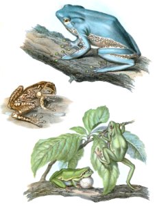
amphibian
animals
drawings in the stadsarchief amsterdam
johan martinus anthon rieke
prints in the stadsarchief amsterdam
dorp sloterdijk
prints in the stadsarchief amsterdam
collectie atlas dreesmann
egypt
fish
egypt
fish
egypt
fish
great britain
fish
great britain
fish
great britain
fish
great britain
fish
great britain
fish
great britain
fish
great britain
fish
great britain
fish
great britain
fish
14701 - 14800 of 38,380
Next page
/ 384