En
Log in
All resources
Create a design
Tools
38,380 Free Images of Atlas
bibliothèque nationale de france
maps of paris from bibliothèque nationale de france
turgot map of paris, bibliothèque nationale de france
atlas map
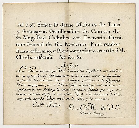
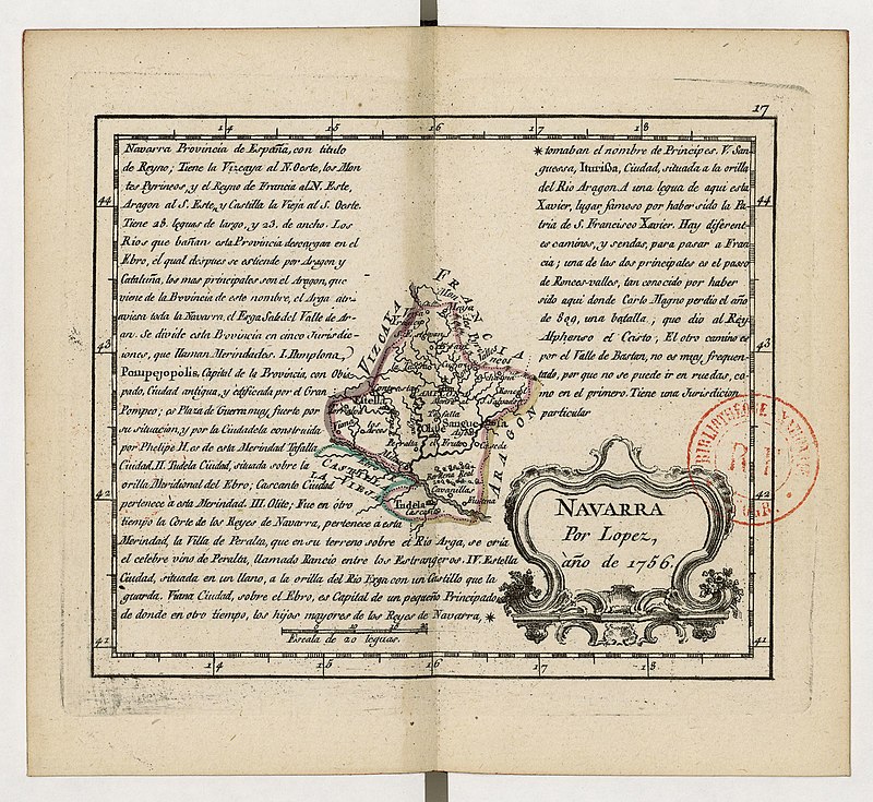
atlas geographico del reyno de españa e islas adjacentes (1757)
atlas novus (blaeu)
reiseatlas von spix und martius
johann baptist von spix
copper engraving print
atlas sive cosmographicae (gerardus mercator, 1630)
atlas sive cosmographicae (gerardus mercator, 1630)
bibliothèque nationale de france
atlas sive cosmographicae (gerardus mercator, 1630)
bibliothèque nationale de france
atlas sive cosmographicae (gerardus mercator, 1630)
bibliothèque nationale de france
atlas sive cosmographicae (gerardus mercator, 1630)
bibliothèque nationale de france
atlas sive cosmographicae (gerardus mercator, 1630)
bibliothèque nationale de france
atlas sive cosmographicae (gerardus mercator, 1630)
bibliothèque nationale de france
carex capillaris - botanical illustrations
atlas der alpenflora, volume 4
maps of uppland
1645 in sweden
17th-century maps of hungary
old maps of hont county
1670s works in taiwan
1663 in taiwan
atlas geographico del reyno de españa e islas adjacentes (1757)
bibliothèque nationale de france
atlas geographico del reyno de españa e islas adjacentes (1757)
bibliothèque nationale de france
atlas geographico del reyno de españa e islas adjacentes (1757)
bibliothèque nationale de france
atlas geographico del reyno de españa e islas adjacentes (1757)
bibliothèque nationale de france
1640s maps of the netherlands
coats of arms on maps
atlas van der hagen (volume 2)
atlas van der hagen
atlas geographico del reyno de españa e islas adjacentes (1757)
bibliothèque nationale de france
atlas geographico del reyno de españa e islas adjacentes (1757)
bibliothèque nationale de france
atlas geographico del reyno de españa e islas adjacentes (1757)
bibliothèque nationale de france
atlas geographico del reyno de españa e islas adjacentes (1757)
bibliothèque nationale de france
atlas geographico del reyno de españa e islas adjacentes (1757)
bibliothèque nationale de france
atlas geographico del reyno de españa e islas adjacentes (1757)
bibliothèque nationale de france
atlas geographico del reyno de españa e islas adjacentes (1757)
bibliothèque nationale de france
atlas geographico del reyno de españa e islas adjacentes (1757)
bibliothèque nationale de france
atlas geographico del reyno de españa e islas adjacentes (1757)
bibliothèque nationale de france
atlas geographico del reyno de españa e islas adjacentes (1757)
bibliothèque nationale de france
atlas geographico del reyno de españa e islas adjacentes (1757)
bibliothèque nationale de france
atlas geographico del reyno de españa e islas adjacentes (1757)
bibliothèque nationale de france
old maps of osnabrück
coats of arms on maps
old maps of namur (province)
county of namur
illustrations of british fungi (hymenomycetes), to serve as an atlas to the "handbook of british fungi"
lepista vernicosa
atlas des anciens plans de paris by imprimerie nationale, 1880 from bhvp
baroque
map of maastricht by willem and johannes blaeu (1649)
first medieval city wall of maastricht
atlas maior, vol 2 (sweden, russia, poland, eastern europe, and greece) - joan blaeu, 1667 - bl 114.h(star).2
17th-century maps of scandinavia
background
maps
illustrations of british fungi (hymenomycetes), to serve as an atlas to the "handbook of british fungi"
psathyrella microrhiza
illustrations of british fungi (hymenomycetes), to serve as an atlas to the "handbook of british fungi"
inocybe whitei
atlas van der hagen (volume 3)
atlas van der hagen
maps by willem and johannes blaeu
novus atlas blaeu
historical
history
historical
history
historical
history
historical
history
illustrations of british fungi (hymenomycetes), to serve as an atlas to the "handbook of british fungi"
deconica coprophila
photographs by andries jager
brouwersgracht, amsterdam
atlas maior, vol 2 (sweden, russia, poland, eastern europe, and greece) - joan blaeu, 1667 - bl 114.h(star).2
1667 maps of russia
atlas maior, vol 1 (northern europe, norway, and denmark) - joan blaeu, 1667 - bl 114.h(star).1
1667 maps
atlas maior, vol 2 (sweden, russia, poland, eastern europe, and greece) - joan blaeu, 1667 - bl 114.h(star).2
copper engraving print
illustration
ireland
atlas
alps
illustration
ireland
le neptune francois
jan van vianen
turgot map of paris, bibliothèque nationale de france
maps of paris from bibliothèque nationale de france
turgot map of paris, bibliothèque nationale de france
maps of paris from bibliothèque nationale de france
atlas maior, vol 4 (netherlands) - joan blaeu, 1667 - bl 114.h(star).4
1667 maps
reiseatlas von spix und martius
johann baptist von spix
miniature speed atlas (1627) pieter van den keere
county maps of england by john speed
maps by willem and johannes blaeu
pantanal
prints by heinrich aldegrever
heracles and atlas
atlas geographico del reyno de españa e islas adjacentes (1757)
18th-century maps of andalusia
atlas geographico del reyno de españa e islas adjacentes (1757)
18th-century maps of madrid
atlas des anciens plans de paris by imprimerie nationale, 1880 from bhvp
map of paris by jouvin de rochefort (boutier 112)
turgot map of paris, bibliothèque nationale de france
maps of paris from bibliothèque nationale de france
turgot map of paris, bibliothèque nationale de france
maps of paris from bibliothèque nationale de france
turgot map of paris, bibliothèque nationale de france
maps of paris from bibliothèque nationale de france
turgot map of paris, bibliothèque nationale de france
maps of paris from bibliothèque nationale de france
turgot map of paris, bibliothèque nationale de france
maps of paris from bibliothèque nationale de france
turgot map of paris, bibliothèque nationale de france
maps of paris from bibliothèque nationale de france
turgot map of paris, bibliothèque nationale de france
maps of paris from bibliothèque nationale de france
turgot map of paris, bibliothèque nationale de france
maps of paris from bibliothèque nationale de france
turgot map of paris, bibliothèque nationale de france
maps of paris from bibliothèque nationale de france
reiseatlas von spix und martius
johann baptist von spix
reiseatlas von spix und martius
johann baptist von spix
reiseatlas von spix und martius
johann baptist von spix
reiseatlas von spix und martius
johann baptist von spix
reiseatlas von spix und martius
johann baptist von spix
reiseatlas von spix und martius
johann baptist von spix
reiseatlas von spix und martius
johann baptist von spix
reiseatlas von spix und martius
johann baptist von spix
turgot map of paris, bibliothèque nationale de france
maps of paris from bibliothèque nationale de france
turgot map of paris, bibliothèque nationale de france
maps of paris from bibliothèque nationale de france
turgot map of paris, bibliothèque nationale de france
maps of paris from bibliothèque nationale de france
turgot map of paris, bibliothèque nationale de france
maps of paris from bibliothèque nationale de france
turgot map of paris, bibliothèque nationale de france
maps of paris from bibliothèque nationale de france
turgot map of paris, bibliothèque nationale de france
maps of paris from bibliothèque nationale de france
turgot map of paris, bibliothèque nationale de france
maps of paris from bibliothèque nationale de france
turgot map of paris, bibliothèque nationale de france
maps of paris from bibliothèque nationale de france
turgot map of paris, bibliothèque nationale de france
maps of paris from bibliothèque nationale de france
maps from university of amsterdam special collections
atlas der neederlanden
maps from university of amsterdam special collections
atlas der neederlanden
catalan atlas, 1959 reproduction
maps in the library of congress
catalan atlas, 1959 reproduction
maps in the library of congress
catalan atlas, 1959 reproduction
maps in the library of congress
catalan atlas, 1959 reproduction
maps in the library of congress
maps of wiflisburgergau by gerardus mercator
atlas novus (blaeu)
atlas novus (blaeu)
old maps of swabia
1640s maps of baden-württemberg
atlas novus (blaeu)
prints by jan de visscher in the rijksmuseum amsterdam
title pages in the rijksmuseum amsterdam
catalan atlas, 1959 reproduction
maps in the library of congress
coats of arms on maps
atlas novus (blaeu)
11901 - 12000 of 38,380
Next page
/ 384