En
Log in
All resources
Create a design
Tools
38,380 Free Images of Atlas
bibliothèque nationale de france
atlas topographique des environs de paris (1780)
copper engraving print
british library
joan blaeu
illustrations of british fungi (hymenomycetes), to serve as an atlas to the "handbook of british fungi"
1667 maps
national library of poland
atlas maior, vol 1 (northern europe, norway, and denmark) - joan blaeu, 1667 - bl 114.h(star).1
atlas maior, vol 8 (france ii and switzerland) - joan blaeu, 1667 - bl 114.h(star).8
atlas topographique des environs de paris (1780)
bibliothèque nationale de france
atlas topographique des environs de paris (1780)
bibliothèque nationale de france
atlas topographique des environs de paris (1780)
bibliothèque nationale de france
atlas topographique des environs de paris (1780)
bibliothèque nationale de france
atlas topographique des environs de paris (1780)
bibliothèque nationale de france
atlas topographique des environs de paris (1780)
bibliothèque nationale de france
atlas topographique des environs de paris (1780)
bibliothèque nationale de france
atlas topographique des environs de paris (1780)
bibliothèque nationale de france
atlas topographique des environs de paris (1780)
bibliothèque nationale de france
atlas topographique des environs de paris (1780)
bibliothèque nationale de france
atlas topographique des environs de paris (1780)
bibliothèque nationale de france
atlas topographique des environs de paris (1780)
bibliothèque nationale de france
atlas topographique des environs de paris (1780)
bibliothèque nationale de france
atlas topographique des environs de paris (1780)
bibliothèque nationale de france
atlas topographique des environs de paris (1780)
bibliothèque nationale de france
atlas topographique des environs de paris (1780)
bibliothèque nationale de france
atlas topographique des environs de paris (1780)
bibliothèque nationale de france
atlas topographique des environs de paris (1780)
bibliothèque nationale de france
atlas topographique des environs de paris (1780)
bibliothèque nationale de france
atlas topographique des environs de paris (1780)
bibliothèque nationale de france
atlas topographique des environs de paris (1780)
bibliothèque nationale de france
atlas topographique des environs de paris (1780)
bibliothèque nationale de france
atlas des anciens plans de paris by imprimerie nationale, 1880 from bhvp
map of paris by françois quesnel
churbaierischer atlas - klöster
neumarkt-sankt veit
old maps of 's-hertogenbosch
empel en meerwijk
illustrations of british fungi (hymenomycetes), to serve as an atlas to the "handbook of british fungi"
tricholoma sejunctum
illustrations of british fungi (hymenomycetes), to serve as an atlas to the "handbook of british fungi"
entoloma serrulatum
illustrations of british fungi (hymenomycetes), to serve as an atlas to the "handbook of british fungi"
calocybe gambosa
illustrations of british fungi (hymenomycetes), to serve as an atlas to the "handbook of british fungi"
entoloma wynneae
illustrations of british fungi (hymenomycetes), to serve as an atlas to the "handbook of british fungi"
lyophyllum capniocephalum
illustrations of british fungi (hymenomycetes), to serve as an atlas to the "handbook of british fungi"
melanoleuca humilis
illustrations of british fungi (hymenomycetes), to serve as an atlas to the "handbook of british fungi"
stropharia pseudocyanea
illustrations of british fungi (hymenomycetes), to serve as an atlas to the "handbook of british fungi"
clitocybe dealbata
illustrations of british fungi (hymenomycetes), to serve as an atlas to the "handbook of british fungi"
galerina marginata
illustrations of british fungi (hymenomycetes), to serve as an atlas to the "handbook of british fungi"
tricholoma saponaceum
illustrations of british fungi (hymenomycetes), to serve as an atlas to the "handbook of british fungi"
pholiota conissans
atlas ou representation du monde universel t. 2 (1633)
old maps of mecklenburg
maps by willem and johannes blaeu
old maps of friesland
maps by willem and johannes blaeu
old maps of friesland
old maps of amersfoort
hoogland
atlas des anciens plans de paris by imprimerie nationale, 1880 from bhvp
map of paris by françois quesnel
universel d'histoire naturelle : atlas. t. 1 (1849)
patrimonium 2 (project)
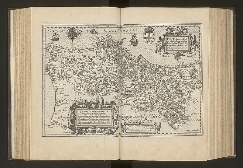
atlas ou representation du monde universel t. 1 (1633)
maps by hendrik hondius the younger
atlas ou representation du monde universel t. 1 (1633)
1630s maps of portugal
universel d'histoire naturelle : atlas. t. 1 (1849)
patrimonium 2 (project)
atlas topographique des environs de paris (1780)
bibliothèque nationale de france
atlas topographique des environs de paris (1780)
bibliothèque nationale de france
atlas topographique des environs de paris (1780)
bibliothèque nationale de france
atlas topographique des environs de paris (1780)
bibliothèque nationale de france
atlas topographique des environs de paris (1780)
bibliothèque nationale de france
atlas topographique des environs de paris (1780)
bibliothèque nationale de france
atlas topographique des environs de paris (1780)
bibliothèque nationale de france
atlas topographique des environs de paris (1780)
bibliothèque nationale de france
atlas topographique des environs de paris (1780)
bibliothèque nationale de france
atlas topographique des environs de paris (1780)
bibliothèque nationale de france
atlas topographique des environs de paris (1780)
bibliothèque nationale de france
atlas topographique des environs de paris (1780)
bibliothèque nationale de france
atlas topographique des environs de paris (1780)
bibliothèque nationale de france
atlas topographique des environs de paris (1780)
bibliothèque nationale de france
atlas topographique des environs de paris (1780)
bibliothèque nationale de france
atlas topographique des environs de paris (1780)
bibliothèque nationale de france
atlas topographique des environs de paris (1780)
bibliothèque nationale de france
atlas topographique des environs de paris (1780)
bibliothèque nationale de france
atlas topographique des environs de paris (1780)
bibliothèque nationale de france
atlas topographique des environs de paris (1780)
bibliothèque nationale de france
atlas topographique des environs de paris (1780)
bibliothèque nationale de france
atlas topographique des environs de paris (1780)
bibliothèque nationale de france
atlas topographique des environs de paris (1780)
bibliothèque nationale de france
atlas topographique des environs de paris (1780)
bibliothèque nationale de france
atlas topographique des environs de paris (1780)
bibliothèque nationale de france
atlas topographique des environs de paris (1780)
bibliothèque nationale de france
background
maps
churbaierischer atlas - klöster
kloster ebersberg
historical
history
atlas novus (blaeu)
atlas novus (blaeu)
churbaierischer atlas - klöster
kloster niederviehbach
atlas sive cosmographicae (gerardus mercator, 1607)
maps of europe by mercator-hondius
atlas maior, vol 8 (france ii and switzerland) - joan blaeu, 1667 - bl 114.h(star).8
1667 maps
atlas maior, vol 4 (netherlands) - joan blaeu, 1667 - bl 114.h(star).4
1667 maps
atlas maior, vol 1 (northern europe, norway, and denmark) - joan blaeu, 1667 - bl 114.h(star).1
1667 maps
atlas maior, vol 9 (italy) - joan blaeu, 1667 - bl 114.h(star).9
1667 maps of italy
atlas maior, vol 1 (northern europe, norway, and denmark) - joan blaeu, 1667 - bl 114.h(star).1
1660s maps of norway
atlas maior, vol 1 (northern europe, norway, and denmark) - joan blaeu, 1667 - bl 114.h(star).1
copper engraving print
atlas maior, vol 9 (italy) - joan blaeu, 1667 - bl 114.h(star).9
1667 maps of italy
atlas maior, vol 1 (northern europe, norway, and denmark) - joan blaeu, 1667 - bl 114.h(star).1
1667 maps
atlas maior, vol 1 (northern europe, norway, and denmark) - joan blaeu, 1667 - bl 114.h(star).1
1667 maps
atlas maior, vol 4 (netherlands) - joan blaeu, 1667 - bl 114.h(star).4
1667 maps
atlas maior, vol 4 (netherlands) - joan blaeu, 1667 - bl 114.h(star).4
1667 maps
atlas maior, vol 3 (germany) - joan blaeu, 1667 - bl 114.h(star).3
copper engraving print
atlas maior, vol 8 (france ii and switzerland) - joan blaeu, 1667 - bl 114.h(star).8
1667 maps
atlas maior, vol 8 (france ii and switzerland) - joan blaeu, 1667 - bl 114.h(star).8
1667 maps
atlas maior, vol 9 (italy) - joan blaeu, 1667 - bl 114.h(star).9
1667 maps of italy
atlas maior, vol 8 (france ii and switzerland) - joan blaeu, 1667 - bl 114.h(star).8
1667 maps
atlas maior, vol 2 (sweden, russia, poland, eastern europe, and greece) - joan blaeu, 1667 - bl 114.h(star).2
copper engraving print
atlas maior, vol 12 (america) - joan blaeu, 1667 - bl 114.h(star).12
1667 maps
atlas sive cosmographicae (gerardus mercator, 1623)
maps of westmorland and man by gerardus mercator
atlas sive cosmographicae (gerardus mercator, 1623)
maps of macedonia by gerardus mercator
atlas sive cosmographicae (gerardus mercator, 1623)
maps of transylvania by gerardus mercator
atlas sive cosmographicae (gerardus mercator, 1623)
maps of salzburg and carinthia by gerardus mercator
10501 - 10600 of 38,380
Next page
/ 384